
Braunschweig, Luneburg, Bremen, and Stade, by Georg Braun and Frans Hogenberg. 1572
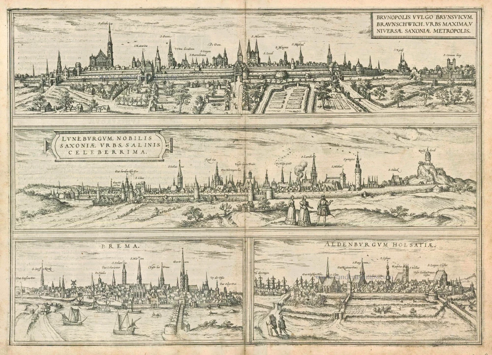
BRAUNSCHWEIG
TRANSLATION OF CARTOUCHE TEXT: Brunopolis, commonly known as Braunschweig, is the largest city in Saxony.
COMMENTARY BY BRAUN: "The Oker, which comes from the Harz Mountains, flows through Brunswick and divides the city into two halves. It carries away all the city's dirt and is crossed everywhere by bridges. The city lies on flat land, surrounded by two and, in some places, even three moats. Between the moats around the city, there is a broad earth mound and a large embankment stabilized by various bushes and hedges. [...] This city has five markets, five law courts and town halls and as many magistracies."
The very low viewpoint allows the tops of the towers, churches, and houses to be seen. Most striking is the church of St Andreas on the left with its two towers. Close to the centre lies the cathedral (De Dom), begun by Guelph Henry the Lion beside his Dankwarderode castle in 1173 and consecrated in 1226. Although the city is considered to have been founded by Duke Bruno in the 9th century, it was under Henry the Lion that Brunswick became a princely residence. The five different markets, administrative offices, law courts and town halls also mentioned by Braun testify to the fact that Brunswick originally comprised five distinct districts, which were subsequently united under Henry the Lion.
LÜNEBURG
CARTOUCHE: Lüneburg, a well-known city in Saxony, is highly famed for its salt mines.
COMMENTARY BY BRAUN: "This city, well built and fortified in our own day, is surrounded by walls and moats; it is sooner rectangular than round, about 1450 paces long and 900 wide. There are three important parish churches here, including the main church of St John and three monasteries, of which St Michael's is the oldest. Of greatest importance for the prosperity, employment and trade of all the burghers and inhabitants is salt, which is abundant and boiled and exported far away by water and land, including to the nearby trade cities of Hamburg and Lübeck. The small Ilmenau River runs through the city, drives the watermills and serves the city well before flowing into the Elbe."
BREMEN
COMMENTARY BY BRAUN: "Bremen, called Fabiranum by Claudius Ptolemy, is a handsome cathedral city. Following the destruction of Hamburg by the Vikings, the bishopric was moved here, and Bremen became the archdiocese for all the northern church provinces. Bremen lies near East Friesland and on the River Weser. The water is pumped into the city from outside via underground channels by means of a very large wheel; it has a wooden bridge, beneath which stand numerous watermills, which grind wheat and gunpowder. The noblest burghers of this city make their living from commerce; because the people of Bremen have no wine, they brew the best beer, which is exported to neighbouring lands."
This view is made after a woodcut by Martin Weigel, c. 1550.
STADE
Contrary to the plate's title - Aldenburgum Hosatiae - the view, in fact, shows the town of Stade in Lower Saxony, as can be clearly deduced from the captions identifying the buildings and churches and from a comparison with the full-page illustration of Stade.
Braun G. & Hogenberg F. and the Civitates Orbis Terrarum.
The Civitates Orbis Terrarum, or the "Braun & Hogenberg", is a six-volume town atlas and the most excellent book of town views and plans ever published: 363 engravings, sometimes beautifully coloured. It was one of the best-selling works in the last quarter of the 16th century. Georg Braun wrote the text accompanying the plans and views on the verso. Many plates were engraved after the original drawings of a professional artist, a professional artist, Joris Hoefnagel (1542-1600). The first volume was published in Latin in 1572, and the sixth in 1617. Frans Hogenberg created the tables for volumes I through IV, and Simon van den Neuwel made those for volumes V and VI. Other contributors were cartographers Daniel Freese and Heinrich Rantzau. Works by Jacob van Deventer, Sebastian Münster, and Johannes Stumpf were also used. Translations appeared in German and French.
Following the original publication of Volume 1 of the Civitates in 1572, seven further editions of 1575, 1577, 1582, 1588, 1593, 1599 and 1612 can be identified. Vol.2, first issued in 1575, was followed by further editions in 1597 and 1612. The subsequent volumes appeared in 1581, 1588, 1593, 1599 and 1606. The German translation of the first volume appeared from 1574 on, and the French edition from 1575 on.
Several printers were involved: Theodor Graminaeus, Heinrich von Aich, Gottfried von Kempen, Johannis Sinniger, Bertram Buchholtz and Peter von Brachel, who all worked in Cologne.
Georg Braun (1541-1622)
Georg Braun was born in Cologne in 1541. After his studies in Cologne, he entered the Jesuit Order as a novice. 1561, he obtained his bachelor's degree, and in 1562, he received his Magister Artium. Although he left the Jesuit Order, he studied theology, gaining a licentiate in theology.
Frans Hogenberg (1535-1590)
Frans Hogenberg was a Flemish and German painter, engraver, and mapmaker. He was born in Mechelen as the son of Nicolaas Hogenberg.
By the end of the 1560s, Frans Hogenberg was employed upon Abraham Ortelius's Theatrum Orbis Terrarum, published in 1570; he is named an engraver of numerous maps. In 1568, he was banned from Antwerp by the Duke of Alva and travelled to London, where he stayed a few years before emigrating to Cologne. He immediately embarked on his two most important works, the Civitates, published in 1572 and the Geschichtsblätter, which appeared in several series from 1569 until about 1587.
Thanks to large-scale projects like the Geschichtsblätter and the Civitates, Hogenberg's social circumstances improved with each passing year. He died as a wealthy man in Cologne in 1590.
Brunopolis vulgo Brunsvicum, ... [on sheet with] Luneburgum, Nobilis Saxoniae Urbs, ... [and] Brema [and] Aldenburgum Holsatiae.
Item Number: 21609 Authenticity Guarantee
Category: Antique maps > Europe > Germany - Cities
Antique map with four bird's-eye views by Georg Braun and Frans Hogenberg: Braunschweig, Luneburg, Bremen and Stade.
First state (without privilege)
Title: Brunopolis vulgo Brunsvicum, ... [on sheet with] Luneburgum, Nobilis Saxoniae Urbs, ... [and] Brema [and] Aldenburgum Holsatiae.
Date of the first edition: 1572.
Date of this map: 1572.
Copper engraving, printed on paper.
Size (not including margins): 340 x 475mm (13.39 x 18.7 inches).
Verso: Latin text.
Condition: Uncoloured, excellent.
Condition Rating: A.
From: Civitates Orbis Terrarum, Liber Primus. Cologne, Theodor Graminaeus, 1572.. (Van der Krogt 4, 41:0)
BRAUNSCHWEIG
TRANSLATION OF CARTOUCHE TEXT: Brunopolis, commonly known as Braunschweig, is the largest city in Saxony.
COMMENTARY BY BRAUN: "The Oker, which comes from the Harz Mountains, flows through Brunswick and divides the city into two halves. It carries away all the city's dirt and is crossed everywhere by bridges. The city lies on flat land, surrounded by two and, in some places, even three moats. Between the moats around the city, there is a broad earth mound and a large embankment stabilized by various bushes and hedges. [...] This city has five markets, five law courts and town halls and as many magistracies."
The very low viewpoint allows the tops of the towers, churches, and houses to be seen. Most striking is the church of St Andreas on the left with its two towers. Close to the centre lies the cathedral (De Dom), begun by Guelph Henry the Lion beside his Dankwarderode castle in 1173 and consecrated in 1226. Although the city is considered to have been founded by Duke Bruno in the 9th century, it was under Henry the Lion that Brunswick became a princely residence. The five different markets, administrative offices, law courts and town halls also mentioned by Braun testify to the fact that Brunswick originally comprised five distinct districts, which were subsequently united under Henry the Lion.
LÜNEBURG
CARTOUCHE: Lüneburg, a well-known city in Saxony, is highly famed for its salt mines.
COMMENTARY BY BRAUN: "This city, well built and fortified in our own day, is surrounded by walls and moats; it is sooner rectangular than round, about 1450 paces long and 900 wide. There are three important parish churches here, including the main church of St John and three monasteries, of which St Michael's is the oldest. Of greatest importance for the prosperity, employment and trade of all the burghers and inhabitants is salt, which is abundant and boiled and exported far away by water and land, including to the nearby trade cities of Hamburg and Lübeck. The small Ilmenau River runs through the city, drives the watermills and serves the city well before flowing into the Elbe."
BREMEN
COMMENTARY BY BRAUN: "Bremen, called Fabiranum by Claudius Ptolemy, is a handsome cathedral city. Following the destruction of Hamburg by the Vikings, the bishopric was moved here, and Bremen became the archdiocese for all the northern church provinces. Bremen lies near East Friesland and on the River Weser. The water is pumped into the city from outside via underground channels by means of a very large wheel; it has a wooden bridge, beneath which stand numerous watermills, which grind wheat and gunpowder. The noblest burghers of this city make their living from commerce; because the people of Bremen have no wine, they brew the best beer, which is exported to neighbouring lands."
This view is made after a woodcut by Martin Weigel, c. 1550.
STADE
Contrary to the plate's title - Aldenburgum Hosatiae - the view, in fact, shows the town of Stade in Lower Saxony, as can be clearly deduced from the captions identifying the buildings and churches and from a comparison with the full-page illustration of Stade.
Braun G. & Hogenberg F. and the Civitates Orbis Terrarum.
The Civitates Orbis Terrarum, or the "Braun & Hogenberg", is a six-volume town atlas and the most excellent book of town views and plans ever published: 363 engravings, sometimes beautifully coloured. It was one of the best-selling works in the last quarter of the 16th century. Georg Braun wrote the text accompanying the plans and views on the verso. Many plates were engraved after the original drawings of a professional artist, a professional artist, Joris Hoefnagel (1542-1600). The first volume was published in Latin in 1572, and the sixth in 1617. Frans Hogenberg created the tables for volumes I through IV, and Simon van den Neuwel made those for volumes V and VI. Other contributors were cartographers Daniel Freese and Heinrich Rantzau. Works by Jacob van Deventer, Sebastian Münster, and Johannes Stumpf were also used. Translations appeared in German and French.
Following the original publication of Volume 1 of the Civitates in 1572, seven further editions of 1575, 1577, 1582, 1588, 1593, 1599 and 1612 can be identified. Vol.2, first issued in 1575, was followed by further editions in 1597 and 1612. The subsequent volumes appeared in 1581, 1588, 1593, 1599 and 1606. The German translation of the first volume appeared from 1574 on, and the French edition from 1575 on.
Several printers were involved: Theodor Graminaeus, Heinrich von Aich, Gottfried von Kempen, Johannis Sinniger, Bertram Buchholtz and Peter von Brachel, who all worked in Cologne.
Georg Braun (1541-1622)
Georg Braun was born in Cologne in 1541. After his studies in Cologne, he entered the Jesuit Order as a novice. 1561, he obtained his bachelor's degree, and in 1562, he received his Magister Artium. Although he left the Jesuit Order, he studied theology, gaining a licentiate in theology.
Frans Hogenberg (1535-1590)
Frans Hogenberg was a Flemish and German painter, engraver, and mapmaker. He was born in Mechelen as the son of Nicolaas Hogenberg.
By the end of the 1560s, Frans Hogenberg was employed upon Abraham Ortelius's Theatrum Orbis Terrarum, published in 1570; he is named an engraver of numerous maps. In 1568, he was banned from Antwerp by the Duke of Alva and travelled to London, where he stayed a few years before emigrating to Cologne. He immediately embarked on his two most important works, the Civitates, published in 1572 and the Geschichtsblätter, which appeared in several series from 1569 until about 1587.
Thanks to large-scale projects like the Geschichtsblätter and the Civitates, Hogenberg's social circumstances improved with each passing year. He died as a wealthy man in Cologne in 1590.
Related items

Magdeburgum ... Metropolitica Saxoniae Urbs 1582
Magdeburg, by Georg Braun and Frans Hogenberg.
[Item number: 4119]
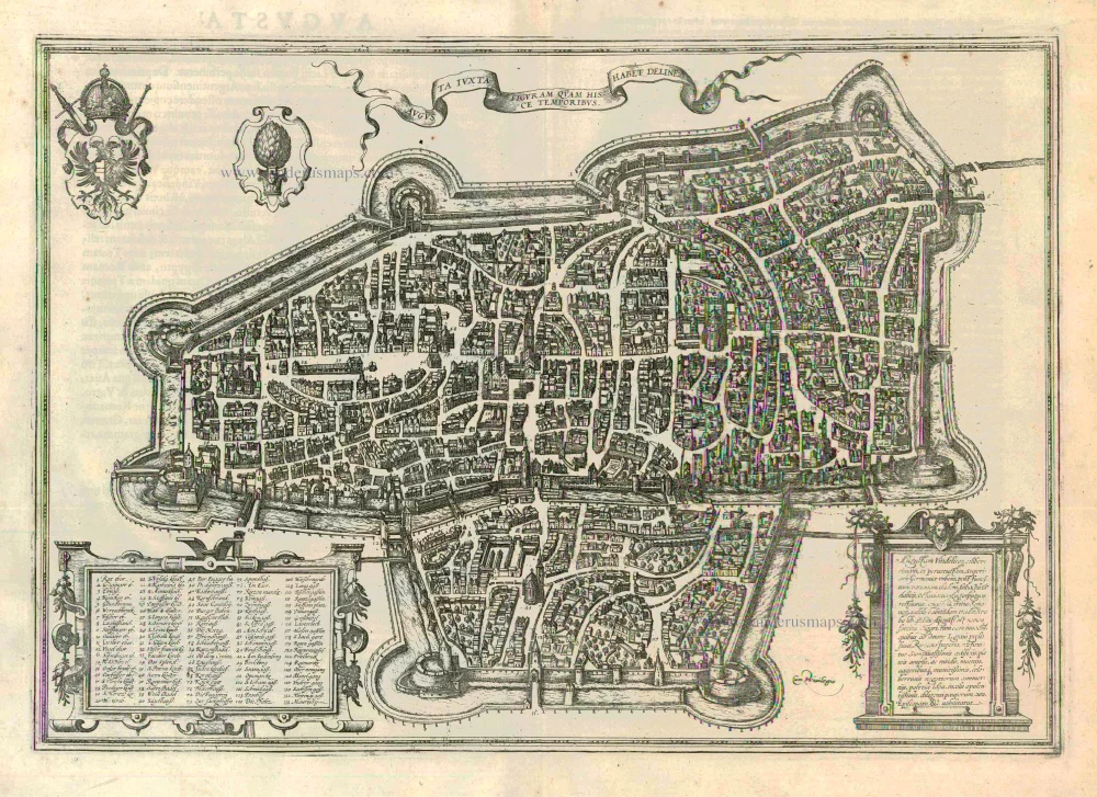
Augusta Iuxta Figuram ... 1612
Augsburg, by Georg Braun and Frans Hogenberg.
[Item number: 22337]
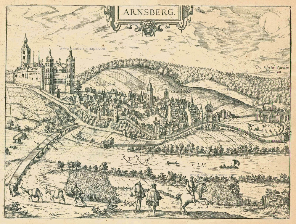
Arnsberg. 1599
Arnsberg by Braun and Hogenberg.
[Item number: 24096]
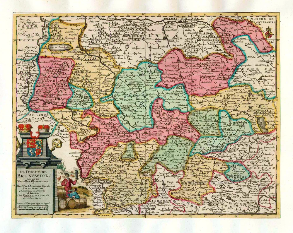
Le Duché de Brunswick. 1713
Braunschweig, by Pieter van der Aa.
[Item number: 26196]
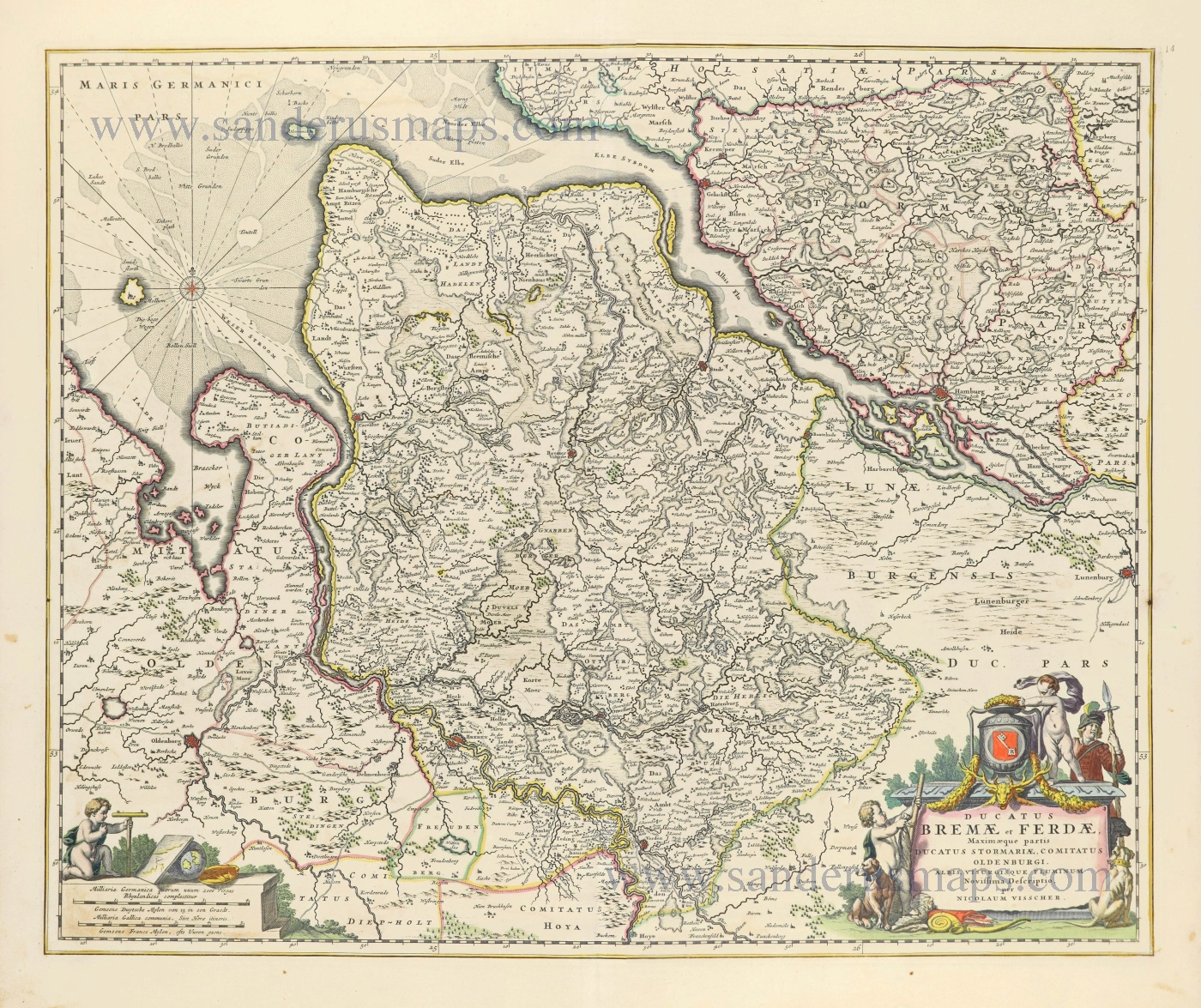
Ducatus Bremae et Ferdae, Maximaeque partis Ducatus Stormariae, Comitatus Oldenburgi, Albis, Visurgisque Fluminum Novissima Descriptio. 1656-77
The Duchies of Bremen and Verden by Nicolaes Visscher I.
[Item number: 28547]
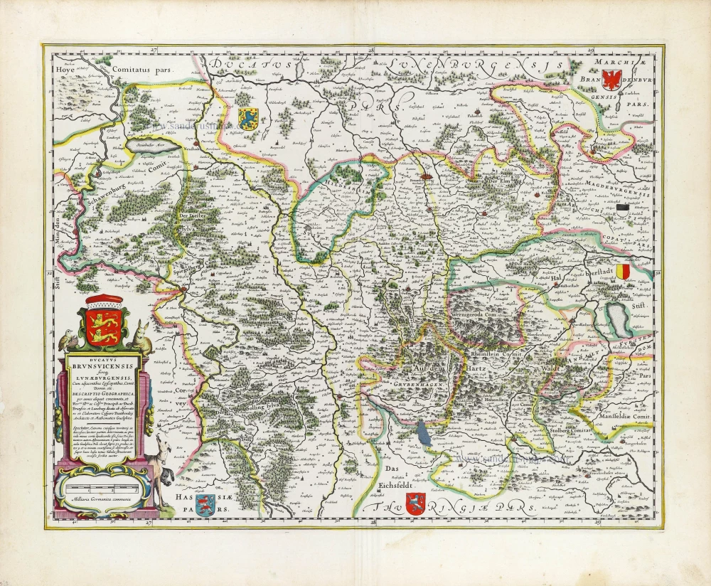
Ducatus Brunsuicencis fereque Lunaeburgensis, Cum adjacentibus Episcopatibus, Comit. Domin. etc. 1643
Braunschweig - Lüneburg, by Joan Blaeu.
[Item number: 29903]