
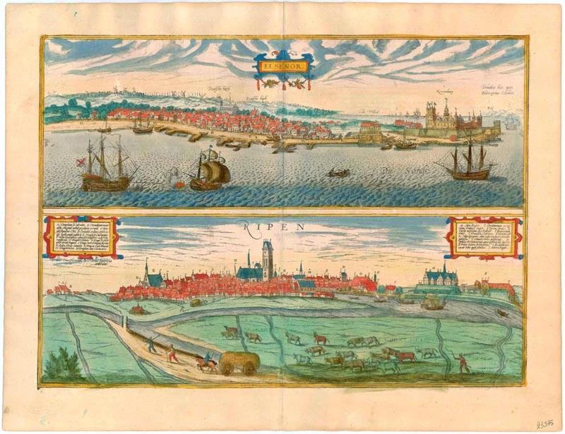
Helsingør (Sjaelland) & Ribe (Jutland), by Georg Braun and Frans Hogenberg. 1596-1640
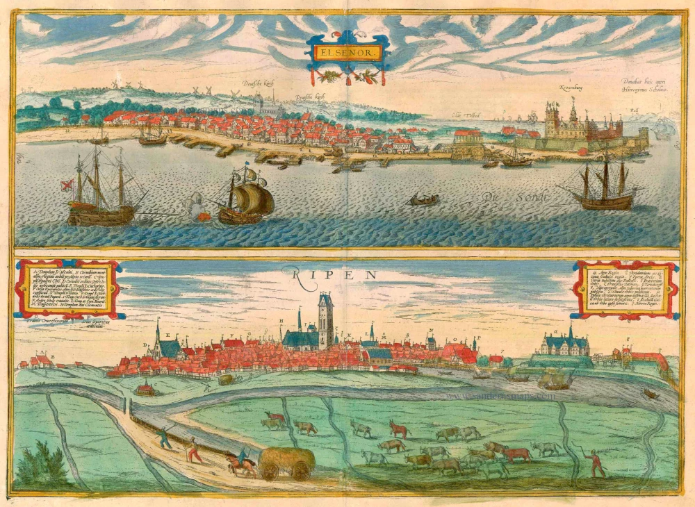


HELSINGØR
COMMENTARY BY BRAUN: "In the direction of the sea stands a well-fortified, impregnable castle called the Kronborg, where all the goods that are exported from the country are checked. Anyone who infringes this immediately forfeits his life, and all goods, however worthless they may be, pass into the royal state treasury. All the ships that pass through this strait, whatever their course, must lower their sails and pay the royal customs officials the stipulated toll."
The town of Helsingør - formerly anglicized as Elsinore - is seen from the east across the Øresund; prominent on the right is the Kronborg toll station. A number of windmills can be seen on the hills behind the city: By the Middle Ages Helsingør was already an established marketplace and in 1200 saw the foundation of St Olaf's church, today a cathedral. From the 1420s the city expanded under Erik VII of Pomerania, king of Denmark. It was he who built Krogen castle (1429), subsequently enlarged by Frederick II in 1574-1585 and renamed the Kronborg. Helsingør lies on the northeast coast of the Danish island of Zealand, at the narrowest point of the Øresund, opposite the Swedish city of Helsingborg.
RIBE
COMMENTARY BY BRAUN: "If one were to look closely at the city's internal layout, one might easily call it Tripolis, meaning "three cities". For it is divided into three by streams and rivers and connected as many times by bridges and mills. The king's castle can be seen to the north [...]."
The view of Ribe shows a sea of roofs, from which a number of buildings stand out: on the left the Gothic Sankta Catharinae Kirke, in the centre the cathedral (I), frequently modified since its original construction from 1150 to 1250, and on the right the palace of Riberhus, built by King Nils at the start of the 12th century. All that is visible of the castle today are a few remains and a statue of Queen Dagmar, who lived in the castle, was greatly loved by the Danish people and was canonized for her charity and good works. When Scandinavia's first church was built in Ribe around AD 860, on the site now occupied by the cathedral, the town was already a major centre of trade and maintained links with northern Germany, England and the Netherlands. Despite suffering numerous setbacks in the form of plague epidemics, fires and storm tides, at the end of the 15th century Ribe was still an important medium-sized town. Over the course of the 16th century, however, its influence on Danish maritime trade waned. (Taschen)
Braun G. & Hogenberg F. and the Civitates Orbis Terrarum.
The Civitates Orbis Terrarum, or the "Braun & Hogenberg", is a six-volume town atlas and the most excellent book of town views and plans ever published: 363 engravings, sometimes beautifully coloured. It was one of the best-selling works in the last quarter of the 16th century. Georg Braun wrote the text accompanying the plans and views on the verso. Many plates were engraved after the original drawings of a professional artist, a professional artist, Joris Hoefnagel (1542-1600). The first volume was published in Latin in 1572, and the sixth in 1617. Frans Hogenberg created the tables for volumes I through IV, and Simon van den Neuwel made those for volumes V and VI. Other contributors were cartographers Daniel Freese and Heinrich Rantzau. Works by Jacob van Deventer, Sebastian Münster, and Johannes Stumpf were also used. Translations appeared in German and French.
Following the original publication of Volume 1 of the Civitates in 1572, seven further editions of 1575, 1577, 1582, 1588, 1593, 1599 and 1612 can be identified. Vol.2, first issued in 1575, was followed by further editions in 1597 and 1612. The subsequent volumes appeared in 1581, 1588, 1593, 1599 and 1606. The German translation of the first volume appeared from 1574 on, and the French edition from 1575 on.
Several printers were involved: Theodor Graminaeus, Heinrich von Aich, Gottfried von Kempen, Johannis Sinniger, Bertram Buchholtz and Peter von Brachel, who all worked in Cologne.
Georg Braun (1541-1622)
Georg Braun was born in Cologne in 1541. After his studies in Cologne, he entered the Jesuit Order as a novice. 1561, he obtained his bachelor's degree, and in 1562, he received his Magister Artium. Although he left the Jesuit Order, he studied theology, gaining a licentiate in theology.
Frans Hogenberg (1535-1590)
Frans Hogenberg was a Flemish and German painter, engraver, and mapmaker. He was born in Mechelen as the son of Nicolaas Hogenberg.
By the end of the 1560s, Frans Hogenberg was employed upon Abraham Ortelius's Theatrum Orbis Terrarum, published in 1570; he is named an engraver of numerous maps. In 1568, he was banned from Antwerp by the Duke of Alva and travelled to London, where he stayed a few years before emigrating to Cologne. He immediately embarked on his two most important works, the Civitates, published in 1572 and the Geschichtsblätter, which appeared in several series from 1569 until about 1587.
Thanks to large-scale projects like the Geschichtsblätter and the Civitates, Hogenberg's social circumstances improved with each passing year. He died as a wealthy man in Cologne in 1590.
Elsenor [on sheet with] Ripen
Item Number: 23375 Authenticity Guarantee
Category: Antique maps > Europe > Northern Europe
Old, antique bird’s-eye view plan of Helsingør (Sjaelland) & Ribe (Jutland), by Georg Braun and Frans Hogenberg.
Title: Elsenor [on sheet with] Ripen
Date of the first edition: 1696.
Date of this map: 1596-1640.
Copper engraving, printed on paper.
Size (not including margins): 335 x 472mm (13.19 x 18.58 inches).
Verso: Latin text.
Condition: Excellent, superb old colour.
Condition Rating: A+.
From: Civitates Orbis Terrarum, ... Part 5. Köln, 1596-1640.
HELSINGØR
COMMENTARY BY BRAUN: "In the direction of the sea stands a well-fortified, impregnable castle called the Kronborg, where all the goods that are exported from the country are checked. Anyone who infringes this immediately forfeits his life, and all goods, however worthless they may be, pass into the royal state treasury. All the ships that pass through this strait, whatever their course, must lower their sails and pay the royal customs officials the stipulated toll."
The town of Helsingør - formerly anglicized as Elsinore - is seen from the east across the Øresund; prominent on the right is the Kronborg toll station. A number of windmills can be seen on the hills behind the city: By the Middle Ages Helsingør was already an established marketplace and in 1200 saw the foundation of St Olaf's church, today a cathedral. From the 1420s the city expanded under Erik VII of Pomerania, king of Denmark. It was he who built Krogen castle (1429), subsequently enlarged by Frederick II in 1574-1585 and renamed the Kronborg. Helsingør lies on the northeast coast of the Danish island of Zealand, at the narrowest point of the Øresund, opposite the Swedish city of Helsingborg.
RIBE
COMMENTARY BY BRAUN: "If one were to look closely at the city's internal layout, one might easily call it Tripolis, meaning "three cities". For it is divided into three by streams and rivers and connected as many times by bridges and mills. The king's castle can be seen to the north [...]."
The view of Ribe shows a sea of roofs, from which a number of buildings stand out: on the left the Gothic Sankta Catharinae Kirke, in the centre the cathedral (I), frequently modified since its original construction from 1150 to 1250, and on the right the palace of Riberhus, built by King Nils at the start of the 12th century. All that is visible of the castle today are a few remains and a statue of Queen Dagmar, who lived in the castle, was greatly loved by the Danish people and was canonized for her charity and good works. When Scandinavia's first church was built in Ribe around AD 860, on the site now occupied by the cathedral, the town was already a major centre of trade and maintained links with northern Germany, England and the Netherlands. Despite suffering numerous setbacks in the form of plague epidemics, fires and storm tides, at the end of the 15th century Ribe was still an important medium-sized town. Over the course of the 16th century, however, its influence on Danish maritime trade waned. (Taschen)
Braun G. & Hogenberg F. and the Civitates Orbis Terrarum.
The Civitates Orbis Terrarum, or the "Braun & Hogenberg", is a six-volume town atlas and the most excellent book of town views and plans ever published: 363 engravings, sometimes beautifully coloured. It was one of the best-selling works in the last quarter of the 16th century. Georg Braun wrote the text accompanying the plans and views on the verso. Many plates were engraved after the original drawings of a professional artist, a professional artist, Joris Hoefnagel (1542-1600). The first volume was published in Latin in 1572, and the sixth in 1617. Frans Hogenberg created the tables for volumes I through IV, and Simon van den Neuwel made those for volumes V and VI. Other contributors were cartographers Daniel Freese and Heinrich Rantzau. Works by Jacob van Deventer, Sebastian Münster, and Johannes Stumpf were also used. Translations appeared in German and French.
Following the original publication of Volume 1 of the Civitates in 1572, seven further editions of 1575, 1577, 1582, 1588, 1593, 1599 and 1612 can be identified. Vol.2, first issued in 1575, was followed by further editions in 1597 and 1612. The subsequent volumes appeared in 1581, 1588, 1593, 1599 and 1606. The German translation of the first volume appeared from 1574 on, and the French edition from 1575 on.
Several printers were involved: Theodor Graminaeus, Heinrich von Aich, Gottfried von Kempen, Johannis Sinniger, Bertram Buchholtz and Peter von Brachel, who all worked in Cologne.
Georg Braun (1541-1622)
Georg Braun was born in Cologne in 1541. After his studies in Cologne, he entered the Jesuit Order as a novice. 1561, he obtained his bachelor's degree, and in 1562, he received his Magister Artium. Although he left the Jesuit Order, he studied theology, gaining a licentiate in theology.
Frans Hogenberg (1535-1590)
Frans Hogenberg was a Flemish and German painter, engraver, and mapmaker. He was born in Mechelen as the son of Nicolaas Hogenberg.
By the end of the 1560s, Frans Hogenberg was employed upon Abraham Ortelius's Theatrum Orbis Terrarum, published in 1570; he is named an engraver of numerous maps. In 1568, he was banned from Antwerp by the Duke of Alva and travelled to London, where he stayed a few years before emigrating to Cologne. He immediately embarked on his two most important works, the Civitates, published in 1572 and the Geschichtsblätter, which appeared in several series from 1569 until about 1587.
Thanks to large-scale projects like the Geschichtsblätter and the Civitates, Hogenberg's social circumstances improved with each passing year. He died as a wealthy man in Cologne in 1590.
Related items

Carte de l'Etat du Royaume de Dannemarck et diverses observations pour conduire à l'Intelligence de l'Histoire et du Gouvernement de ce Royaume. 1714
Denmark - Copenhagen, by Zacharias Châtelain.
[Item number: 21339]

Nouvelle Carte Géographique du Royaume de Dannemarck avec une Table des Villes les plus remarquables. 1714
Denmark, by Zacharias Châtelain.
[Item number: 21341]
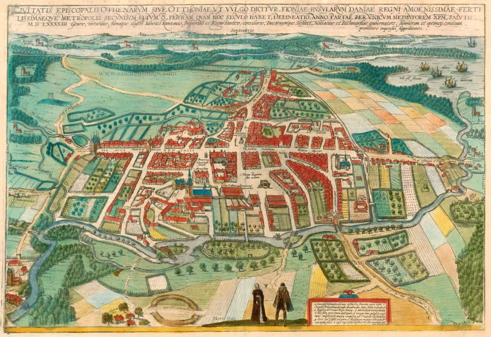
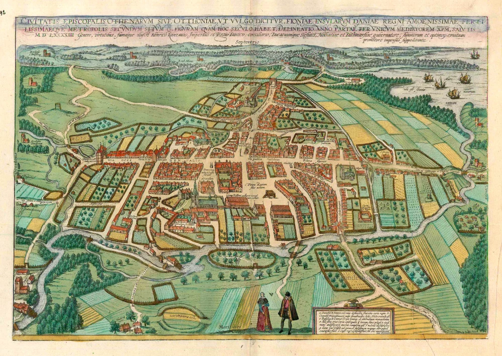
Civitates Episcopalis Othenarum sive Otthoniae, ut vulgo Dicitur, Fioniae ... 1596-1640
Odense, by Georg Braun and Frans Hogenberg.
[Item number: 23372]
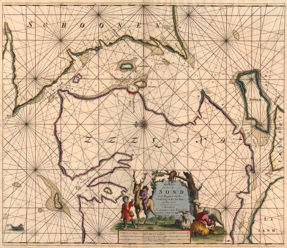
Pascaart om Door de Sond en de Droogen te Seylen Strekkende van Kol tot Meun 1697-1709
Denmark - Sjaelland, by J. Van Keulen Johannes.
[Item number: 4495]
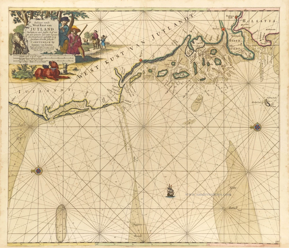
Paskaart vande West Kust van Jutland van Busem tot aen 't Jutsche Riff met Alle syn Eylanden daer onder Begrepen. 1697-1709
Sea chart of Denmark (Westcoast of Jutland), by J. Van Keulen.
[Item number: 13449]
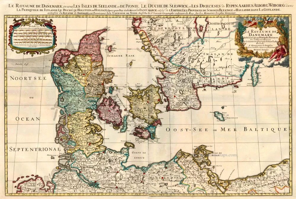
Le Royaume de Danemark Subdivisé en ses Principales Provinces. 1710
Denmark by Sanson - Covens & Mortier.
[Item number: 23736]
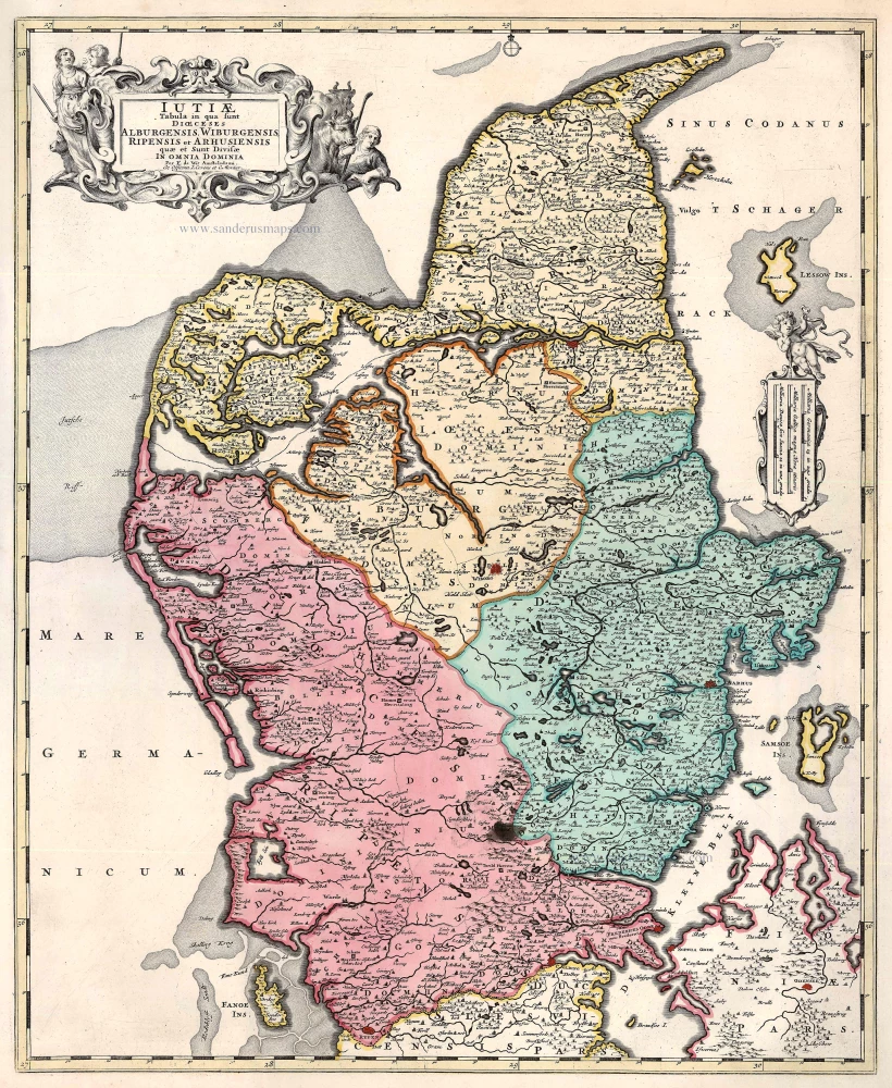
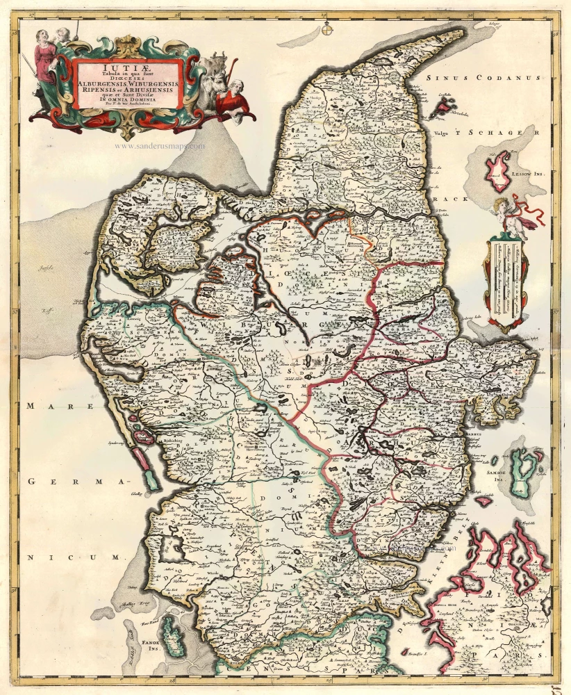
Iutiae Tabula in qua sunt Dioecesis Alburgensis, Wiburgensis, Ripensis et Arhusiensis quae et sunt divisae in Omnia Dominia. 1721-41
Denmark - Jutland, by Covens & Mortier.
[Item number: 23738]
Iutiae Tabula in qua sunt Dioecesis Alburgensis, Wiburgensis, Ripensis et Arhusiensis quae et sunt divisae in Omnia Dominia. c. 1680
Denmark - Jutland, by F. De Wit.
[Item number: 2669]
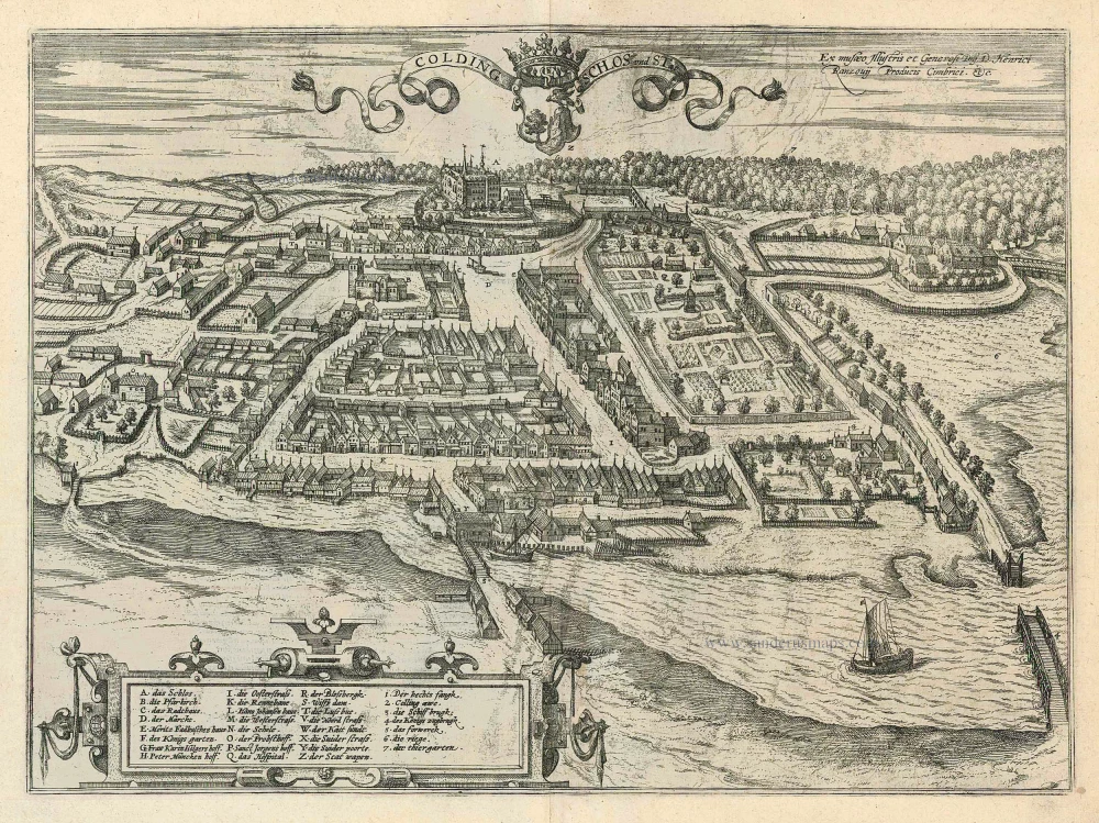
Colding Schloss und Stat 1596
Kolding by Braun and Hogenberg
[Item number: 24163]
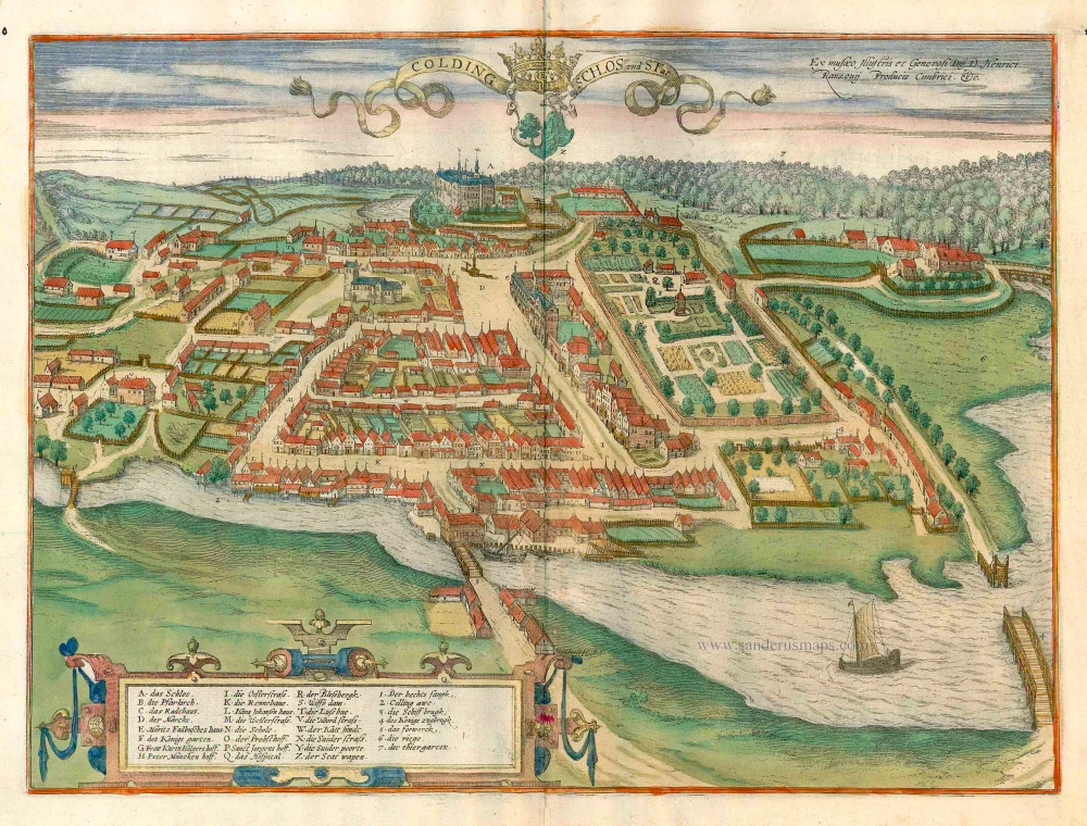
Colding Schloss und Stat c. 1610
Kolding, by Georg Braun and Frans Hogenberg.
[Item number: 16693]
Civitates Episcopalis Othenarum sive Otthoniae, ut vulgo Dicitur, Fioniae ... c. 1610
Odense, by Georg Braun and Frans Hogenberg.
[Item number: 16703]
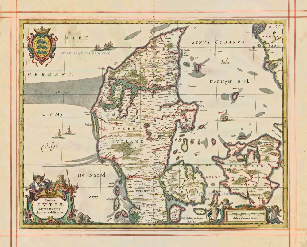
Totius Iutiae Generalis Accurata delineatio. 1680
Denmark - Jylland, by J. Janssonius, published by Moses Pitt and J. Janssonius-Waesberge.
[Item number: 1337]
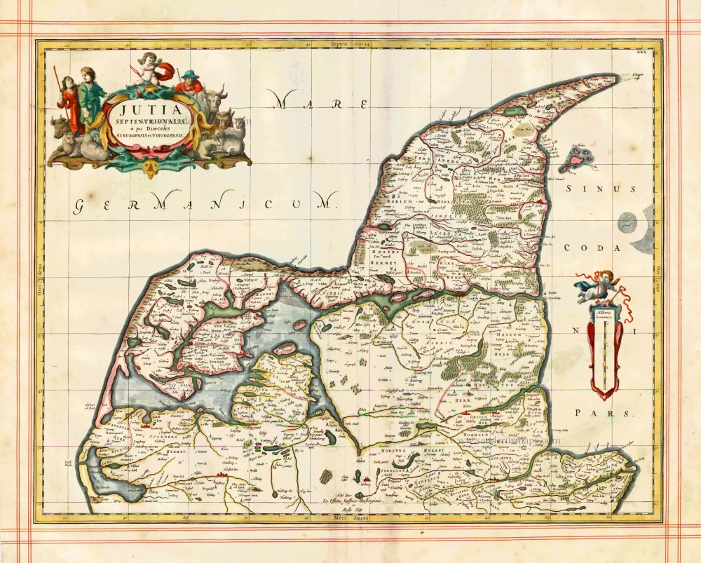
Iutia Septentrionalis, in qua Dioeceses Alburgensis et Viburgensis 1680
Denmark - Jylland (North) by J. Janssonius, published by Moses Pitt and J. Janssonius-Waesberge.
[Item number: 1353]
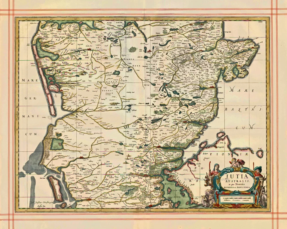
Jutia Australis, in qua Dioecesis Ripensis et Arhusiensis. 1680
Jutia Australis, in qua Dioecesis Ripensis et Arhusiensis. - Janssonius J. - Pitt Moses, 1680.
[Item number: 1373]
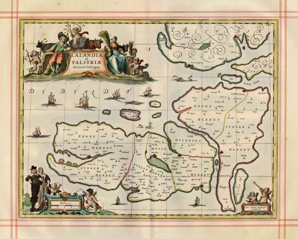
Lalandiae et Falstriae Accurata Descriptio. 1680
Denmark - Laaland and Falster by J. Janssonius, published by Moses Pitt and J. Janssonius-Waesberge.
[Item number: 25066]
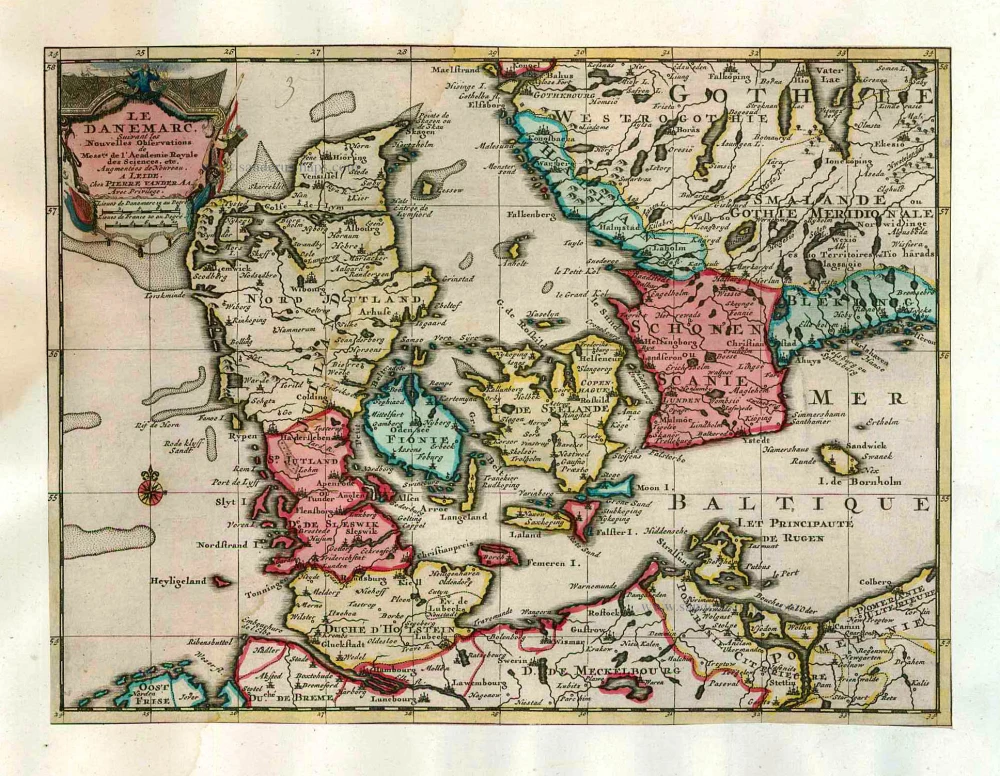
Le Danemarc, Suivant les Nouvelles Observations de Mess.rs de L'Academie Royale des Sciences, etc. 1713
Denmark, by Pieter van der Aa
[Item number: 26044]
First edition
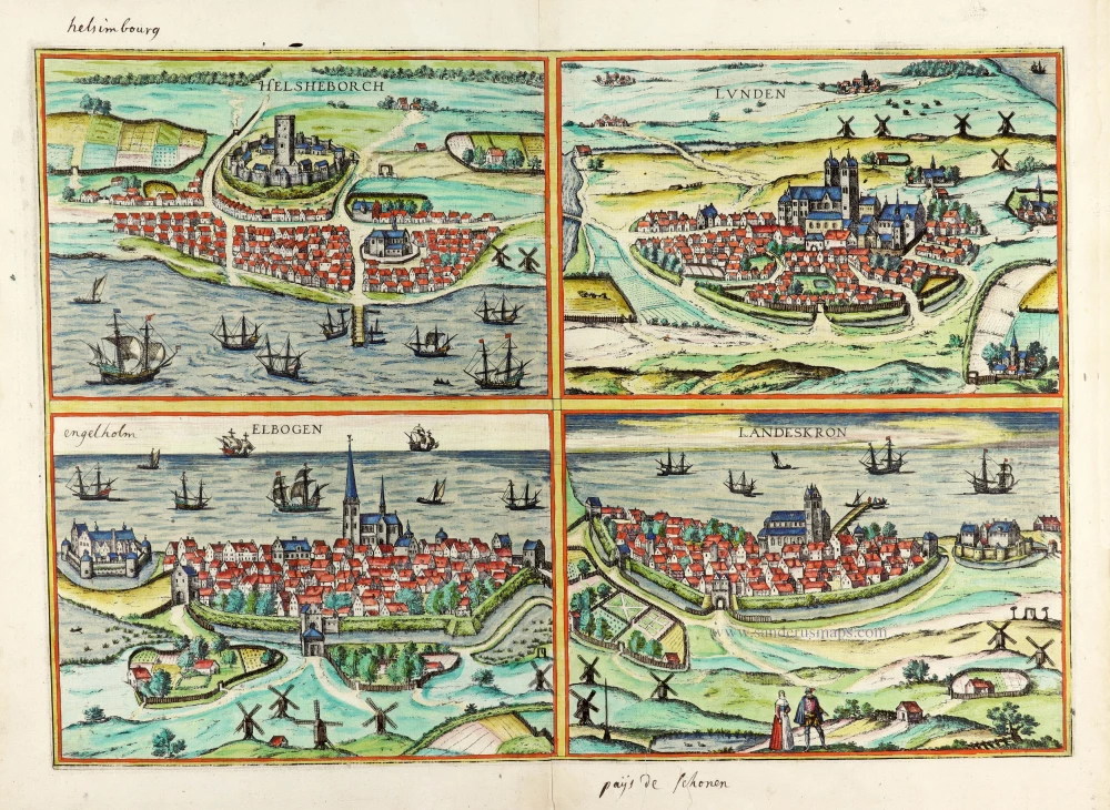
Helsheborch [on sheet with] Lunden [and] Elbogen [and] Landeskron. 1588
Braun and Hogenberg : Malmö, Helsingborg, Lund, Landskrona.
[Item number: 30136]
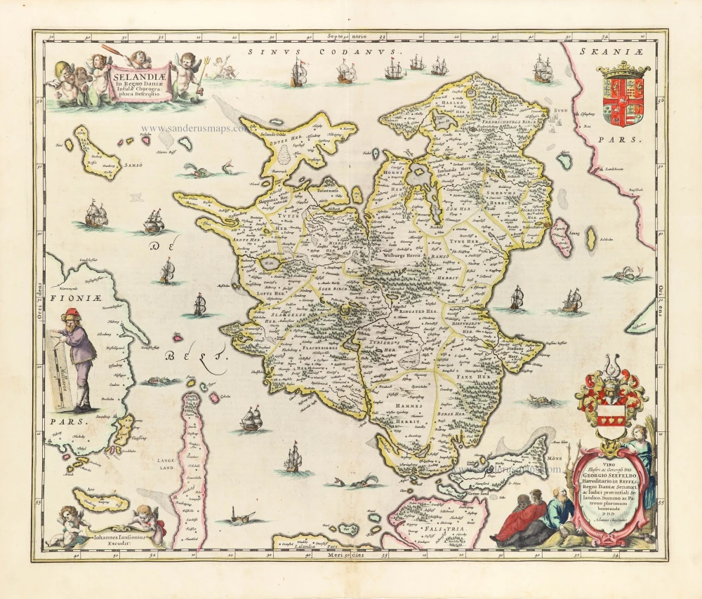
Selandiae In Regno Daniae Insulae Chorographica Descriptio. 1653
Denmark - Sjaelland by Janssonius J.
[Item number: 30343]