
Egypt, by F. De Wit after Blaeu. 1721-41
Frederick de Wit (1630-1706)
The engraver and map-seller, Frederick de Wit, was born in Gouda (Netherlands) in 1630 as a son of Hendrick Fredericksz de Wit. Through his marriage with Maria van der Waag of Amsterdam in 1661, he obtained citizenship of the city where he had been working since 1648 and where he became one of the most famous engravers of maps of the second half of the 17th century. Although De Wit was a Catholic, which meant that he was not favoured at the time by the city council, he was awarded the honour of being listed as one of the "excellent citizens" on the roll of the city council in the years 1694-1704. However, his name was not written in the Guild of St. Luke book before 1664. At that time, he lived on the Kalverstraat "in de Witte Pascaert", where he stayed until his death in 1706. His earliest dates on maps engraved are 1659 (Regni Daniae) and 1660 (World map).
Frederick de Wit published several world atlases, a sea atlas, and an atlas of the Netherlands.
The dating of the maps is difficult. However, as a privilege was granted in 1689, the annotation 'cum privilegio' marks an edition after 1688.
Around 1700, Frederick de Wit entered the market with a town atlas. He produced two volumes with a total of 260 plans and views. Most were printed from plates used for Janssonius and Blaeu town atlases.
After he died in 1706, his widow continued the shop until 1709. The plates and stock of De Wit's atlas were sold to Covens & Mortier in 1710, who sold the atlas for an extended period.
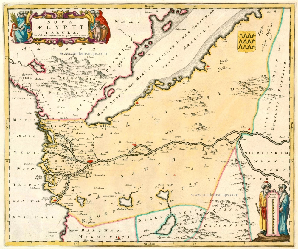
Nova Aegypti Tabula
Item Number: 23616 Authenticity Guarantee
Category: Antique maps > Africa
Antique map of Egypt by F. De Wit after J. Blaeu.
Title: Nova Aegypti Tabula.
Oriented to the east.
Cartographer: F. De Wit after Blaeu.
Date: 1721-41.
Copper engraving, printed on paper.
Size (not including margins): 435 x 515mm (17.13 x 20.28 inches).
Verso: Blank.
Condition: Old body colour, on heavy paper, no centrefold (from a plano bound atlas), excellent.
Condition Rating: A.
From: Composite Atlas. Amsterdam, Covens & Mortier, 1721-41.
Frederick de Wit (1630-1706)
The engraver and map-seller, Frederick de Wit, was born in Gouda (Netherlands) in 1630 as a son of Hendrick Fredericksz de Wit. Through his marriage with Maria van der Waag of Amsterdam in 1661, he obtained citizenship of the city where he had been working since 1648 and where he became one of the most famous engravers of maps of the second half of the 17th century. Although De Wit was a Catholic, which meant that he was not favoured at the time by the city council, he was awarded the honour of being listed as one of the "excellent citizens" on the roll of the city council in the years 1694-1704. However, his name was not written in the Guild of St. Luke book before 1664. At that time, he lived on the Kalverstraat "in de Witte Pascaert", where he stayed until his death in 1706. His earliest dates on maps engraved are 1659 (Regni Daniae) and 1660 (World map).
Frederick de Wit published several world atlases, a sea atlas, and an atlas of the Netherlands.
The dating of the maps is difficult. However, as a privilege was granted in 1689, the annotation 'cum privilegio' marks an edition after 1688.
Around 1700, Frederick de Wit entered the market with a town atlas. He produced two volumes with a total of 260 plans and views. Most were printed from plates used for Janssonius and Blaeu town atlases.
After he died in 1706, his widow continued the shop until 1709. The plates and stock of De Wit's atlas were sold to Covens & Mortier in 1710, who sold the atlas for an extended period.
Related items
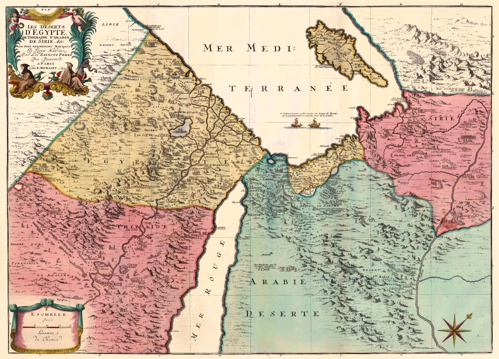
Les Deserts d'Egypte, de Thebaide d'Arabie, de Sirie, &c., ou sont Exactement Marques les Lieux Habitez par les Saincts Peres des Deserts 1710
Egypt and the Middle East by Jaillot - Covens & Mortier.
[Item number: 23617]
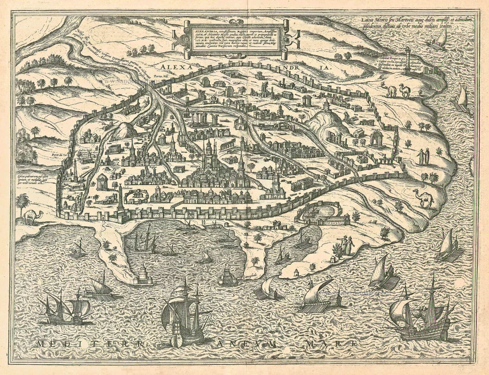
Alexandria, Vetustissimum Aegypti Emporium, Amplissima Civitas .Penon de Veles. 1597
Egypt - Alexandria by Georg Braun & Frans Hogenberg
[Item number: 24010]

Aegyptus Hodierna. 1716-37
Egypt, by Johann Baptist Homann.
[Item number: 20813]
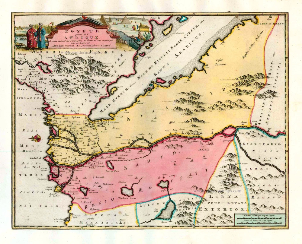
Egypte, partie de l'Afrique. 1713
Egypt, by Pieter van der Aa.
[Item number: 26133]
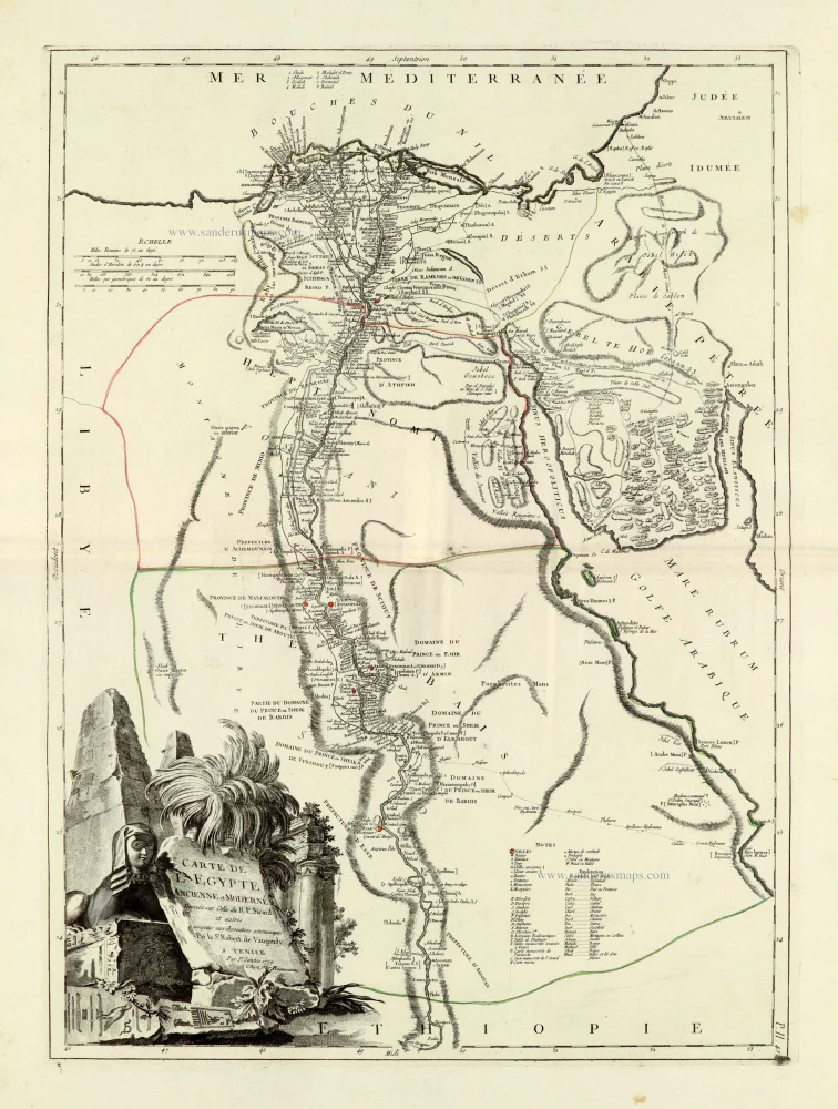
Carte de L'Egypte Ancienne et Moderne. 1776-79
Egypt, by Francesco Santini.
[Item number: 28099]
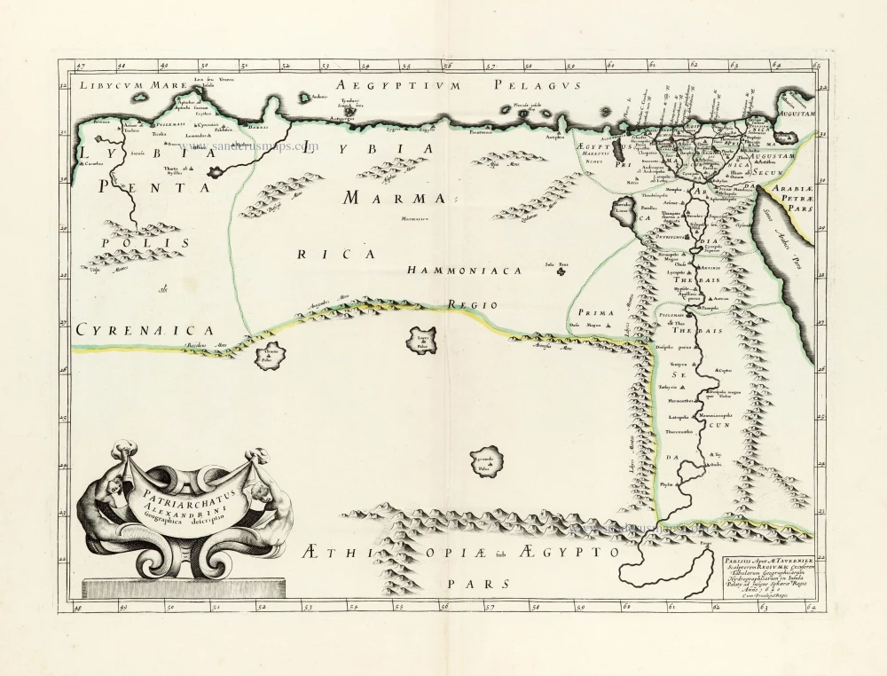
Patriarchatus Alexandrini Geographica descriptio. 1640
Egypt - Libya J.B. Tavernier.
[Item number: 30047]