
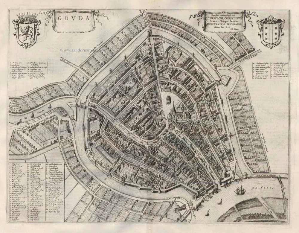
Gouda, by Georg Braun and Frans Hogenberg. 1599
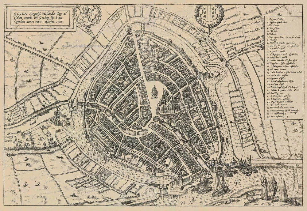
TRANSLATION OF CARTOUCHE TEXT: Gouda a magnificent city in Holland, on the River IJssel, where it is joined by the Gouda, from which the town gets its name. 1585.
COMMENTARY BY BRAUN: "Gouda, the sixth among the Dutch cities, is by name and also, in reality, a golden city, whether one considers the favourable nature of the Dutch soil on which it is built or the many advantages of the streams and rivers that irrigate it all about. [...] As a result of the East Indian sea trade, there is no lack of grain either here or in other Dutch cities, just as the soil around Gouda does not produce flax. Yet, they have a great surplus of linen, as in earlier times, when England sent not cloth but wool, and it made woollen cloth just like other fine Dutch cities."
This is a bird's-eye view of the city from the south. In the foreground is the confluence of the Gouwe and the IJssel. Prominent features are the town hall (Stadthuys) and the Gothic Sint-Janskerk, the largest church in the Netherlands. Gouda lies in a polder that was created in the Middle Ages through the construction of dams and drainage systems. After being granted a municipal charter in 1272, the city became an important trade centre. The Watergeuzen captured it in 1572 during the Dutch Revolt, and it played an essential role in the assembly of the States-General. Around 1600 it still had a flourishing cloth industry but suffered a decline in the 17th century. (Taschen)
Braun G. & Hogenberg F. and the Civitates Orbis Terrarum.
The Civitates Orbis Terrarum, or the "Braun & Hogenberg", is a six-volume town atlas and the most excellent book of town views and plans ever published: 363 engravings, sometimes beautifully coloured. It was one of the best-selling works in the last quarter of the 16th century. Georg Braun wrote the text accompanying the plans and views on the verso. Many plates were engraved after the original drawings of a professional artist, a professional artist, Joris Hoefnagel (1542-1600). The first volume was published in Latin in 1572, and the sixth in 1617. Frans Hogenberg created the tables for volumes I through IV, and Simon van den Neuwel made those for volumes V and VI. Other contributors were cartographers Daniel Freese and Heinrich Rantzau. Works by Jacob van Deventer, Sebastian Münster, and Johannes Stumpf were also used. Translations appeared in German and French.
Following the original publication of Volume 1 of the Civitates in 1572, seven further editions of 1575, 1577, 1582, 1588, 1593, 1599 and 1612 can be identified. Vol.2, first issued in 1575, was followed by further editions in 1597 and 1612. The subsequent volumes appeared in 1581, 1588, 1593, 1599 and 1606. The German translation of the first volume appeared from 1574 on, and the French edition from 1575 on.
Several printers were involved: Theodor Graminaeus, Heinrich von Aich, Gottfried von Kempen, Johannis Sinniger, Bertram Buchholtz and Peter von Brachel, who all worked in Cologne.
Georg Braun (1541-1622)
Georg Braun was born in Cologne in 1541. After his studies in Cologne, he entered the Jesuit Order as a novice. 1561, he obtained his bachelor's degree, and in 1562, he received his Magister Artium. Although he left the Jesuit Order, he studied theology, gaining a licentiate in theology.
Frans Hogenberg (1535-1590)
Frans Hogenberg was a Flemish and German painter, engraver, and mapmaker. He was born in Mechelen as the son of Nicolaas Hogenberg.
By the end of the 1560s, Frans Hogenberg was employed upon Abraham Ortelius's Theatrum Orbis Terrarum, published in 1570; he is named an engraver of numerous maps. In 1568, he was banned from Antwerp by the Duke of Alva and travelled to London, where he stayed a few years before emigrating to Cologne. He immediately embarked on his two most important works, the Civitates, published in 1572 and the Geschichtsblätter, which appeared in several series from 1569 until about 1587.
Thanks to large-scale projects like the Geschichtsblätter and the Civitates, Hogenberg's social circumstances improved with each passing year. He died as a wealthy man in Cologne in 1590.
Gouda, elegantiss. Hollandiae Opp. ad Isalam amnem, ubi Goudam flu. à quo Oppidum nomen habet, absorbet. 1585.
Item Number: 24088 Authenticity Guarantee
Category: Antique maps > Europe > The Netherlands - Cities
Antique map - bird's-eye view plan of Gouda by Georg Braun and Frans Hogenberg.
Title: Gouda, elegantiss. Hollandiae Opp. ad Isalam amnem, ubi Goudam flu. à quo Oppidum nomen habet, absorbet. 1585.
Date of the first edition: 1588.
Date of this map: 1599.
Copper engraving, printed on paper.
Size (not including margins): 328 x 480mm (12.91 x 18.9 inches).
Verso: Latin text.
Condition: Uncoloured, small tear in lower margin repaired (outside the image).
Condition Rating: A.
From: Liber quartus Urbium Praecipuarum totius Mundi. Cologne, Bertram Buchholtz, 1599. (Van der Krogt 4, 41:1.4(1599))
TRANSLATION OF CARTOUCHE TEXT: Gouda a magnificent city in Holland, on the River IJssel, where it is joined by the Gouda, from which the town gets its name. 1585.
COMMENTARY BY BRAUN: "Gouda, the sixth among the Dutch cities, is by name and also, in reality, a golden city, whether one considers the favourable nature of the Dutch soil on which it is built or the many advantages of the streams and rivers that irrigate it all about. [...] As a result of the East Indian sea trade, there is no lack of grain either here or in other Dutch cities, just as the soil around Gouda does not produce flax. Yet, they have a great surplus of linen, as in earlier times, when England sent not cloth but wool, and it made woollen cloth just like other fine Dutch cities."
This is a bird's-eye view of the city from the south. In the foreground is the confluence of the Gouwe and the IJssel. Prominent features are the town hall (Stadthuys) and the Gothic Sint-Janskerk, the largest church in the Netherlands. Gouda lies in a polder that was created in the Middle Ages through the construction of dams and drainage systems. After being granted a municipal charter in 1272, the city became an important trade centre. The Watergeuzen captured it in 1572 during the Dutch Revolt, and it played an essential role in the assembly of the States-General. Around 1600 it still had a flourishing cloth industry but suffered a decline in the 17th century. (Taschen)
Braun G. & Hogenberg F. and the Civitates Orbis Terrarum.
The Civitates Orbis Terrarum, or the "Braun & Hogenberg", is a six-volume town atlas and the most excellent book of town views and plans ever published: 363 engravings, sometimes beautifully coloured. It was one of the best-selling works in the last quarter of the 16th century. Georg Braun wrote the text accompanying the plans and views on the verso. Many plates were engraved after the original drawings of a professional artist, a professional artist, Joris Hoefnagel (1542-1600). The first volume was published in Latin in 1572, and the sixth in 1617. Frans Hogenberg created the tables for volumes I through IV, and Simon van den Neuwel made those for volumes V and VI. Other contributors were cartographers Daniel Freese and Heinrich Rantzau. Works by Jacob van Deventer, Sebastian Münster, and Johannes Stumpf were also used. Translations appeared in German and French.
Following the original publication of Volume 1 of the Civitates in 1572, seven further editions of 1575, 1577, 1582, 1588, 1593, 1599 and 1612 can be identified. Vol.2, first issued in 1575, was followed by further editions in 1597 and 1612. The subsequent volumes appeared in 1581, 1588, 1593, 1599 and 1606. The German translation of the first volume appeared from 1574 on, and the French edition from 1575 on.
Several printers were involved: Theodor Graminaeus, Heinrich von Aich, Gottfried von Kempen, Johannis Sinniger, Bertram Buchholtz and Peter von Brachel, who all worked in Cologne.
Georg Braun (1541-1622)
Georg Braun was born in Cologne in 1541. After his studies in Cologne, he entered the Jesuit Order as a novice. 1561, he obtained his bachelor's degree, and in 1562, he received his Magister Artium. Although he left the Jesuit Order, he studied theology, gaining a licentiate in theology.
Frans Hogenberg (1535-1590)
Frans Hogenberg was a Flemish and German painter, engraver, and mapmaker. He was born in Mechelen as the son of Nicolaas Hogenberg.
By the end of the 1560s, Frans Hogenberg was employed upon Abraham Ortelius's Theatrum Orbis Terrarum, published in 1570; he is named an engraver of numerous maps. In 1568, he was banned from Antwerp by the Duke of Alva and travelled to London, where he stayed a few years before emigrating to Cologne. He immediately embarked on his two most important works, the Civitates, published in 1572 and the Geschichtsblätter, which appeared in several series from 1569 until about 1587.
Thanks to large-scale projects like the Geschichtsblätter and the Civitates, Hogenberg's social circumstances improved with each passing year. He died as a wealthy man in Cologne in 1590.
Related items
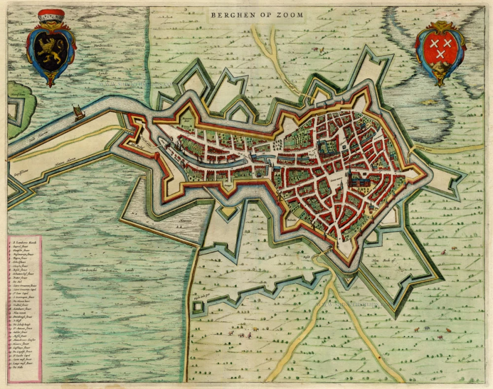
Berghen op Zoom 1649
Antique map of Bergen-op-Zoom by Blaeu J.
[Item number: 657]
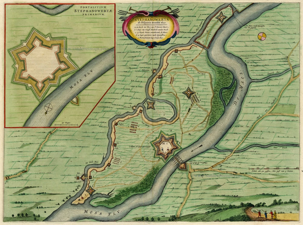
Stephanowerta 1649
Stevensweert, by J. Blaeu.
[Item number: 796]
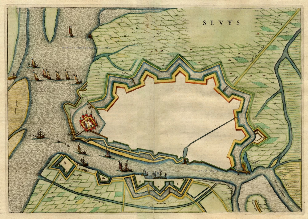
Sluys 1649
Sluis, by Blaeu J.
[Item number: 1928]
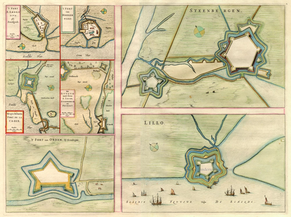
't Fort S. Ambrosius - 't Fort van Hoogewerf ... Steenbergen - Lillo. 1649
Fort S. Ambrosius - Hoogerwerf - de la Croix ... by Joan Blaeu.
[Item number: 2095]
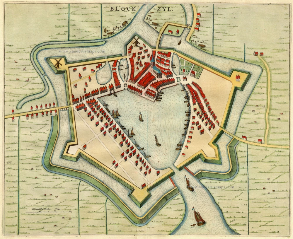
Blockzyl 1649
Blokzijl, by Blaeu J.
[Item number: 2141]
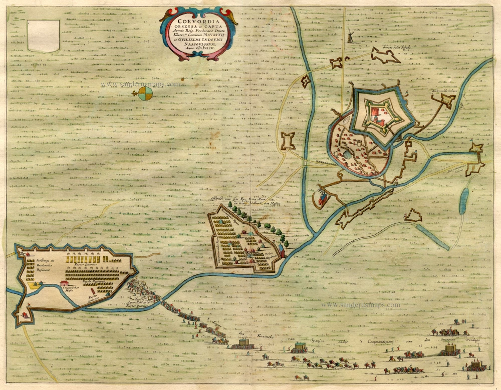
Coevordia Obsessa et Capta ... 1649
Coevorden, by Blaeu J.
[Item number: 3025]
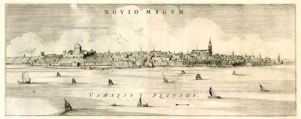
Noviomagum 1649
Nijmegen, by Joan Blaeu.
[Item number: 5605]

Leovordia 1649
Leeuwarden, by Joan Blaeu.
[Item number: 5681]
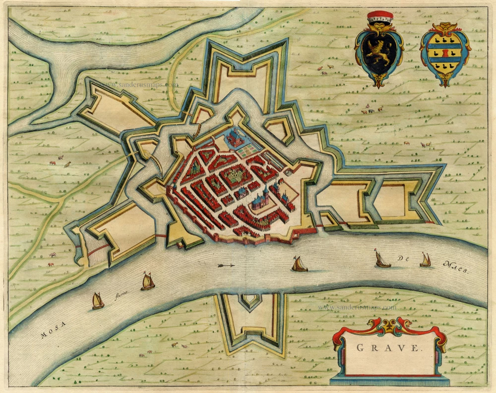
Grave 1649
Grave, by Joan Blaeu.
[Item number: 5957]
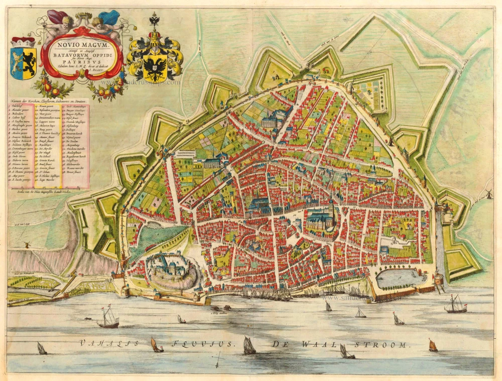
Novio Magum. Nobiliss et Ampliss. Batavorum Oppidi seu Novio Magi Patribus Tabulam hanc L.M.Q. dicat et dedicat I. Blaeu; 1649
Nijmegen, by Blaeu J.
[Item number: 6257]
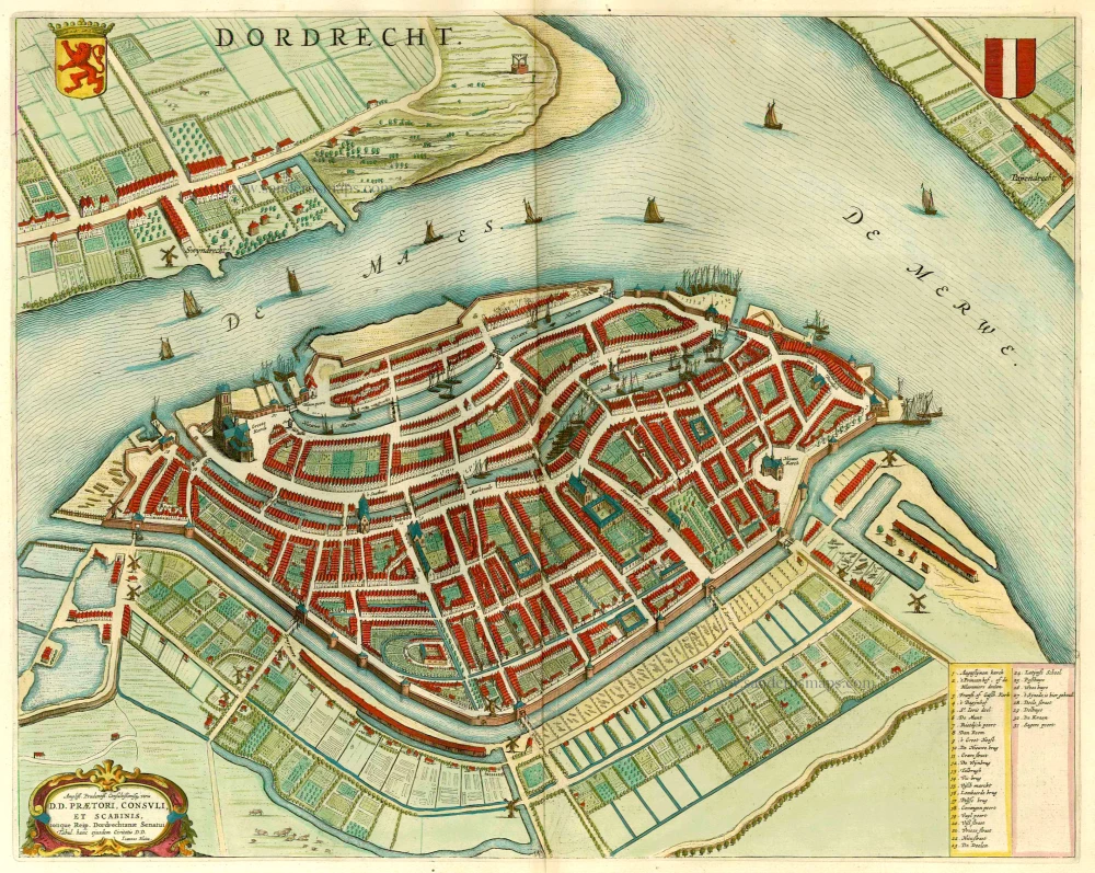
Dordrecht 1649
Dordrecht, by J. Blaeu.
[Item number: 13051]
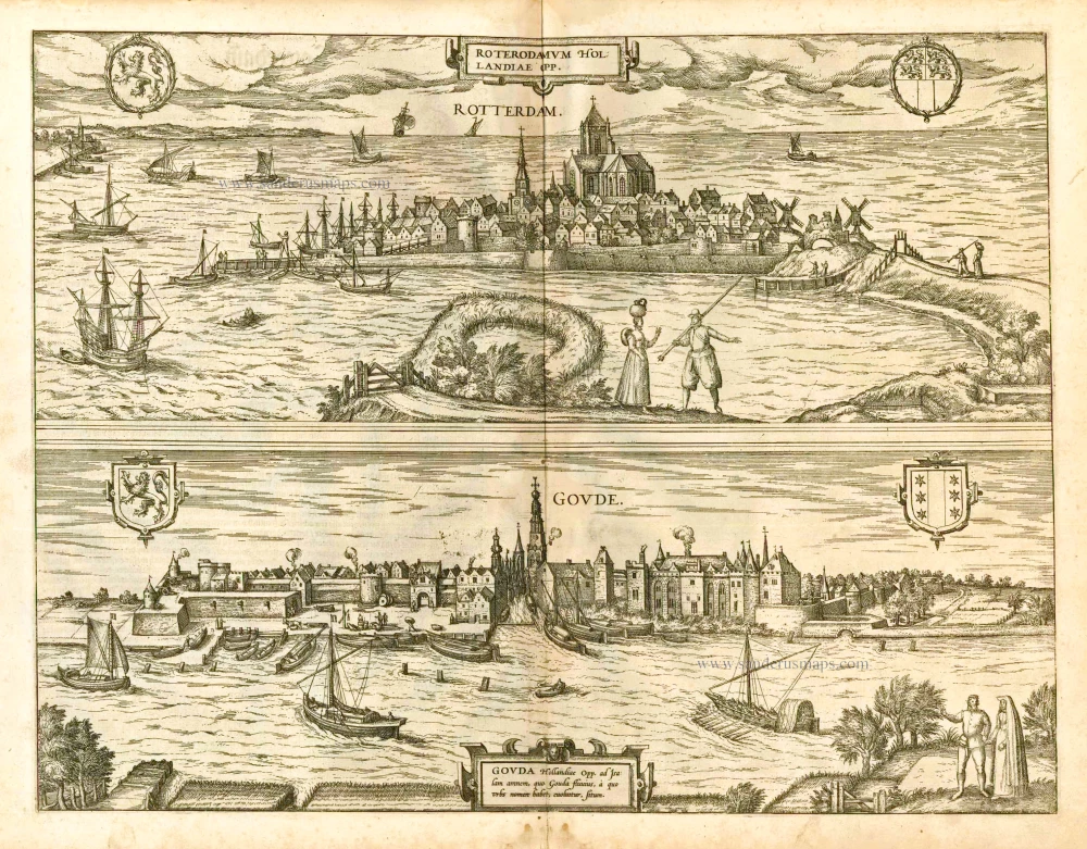
Roterodamum Hollandiae Opp. [on sheet whith:] Goude 1582
Rotterdam - Gouda, by Braun & Hogenberg.
[Item number: 14186]
Gouda. 1649
Gouda by Joan Blaeu
[Item number: 16952]

Deelft - Delphum Urbs Hollandiae cultissima ab eiusdem nominis fossa vulgo, Delfft appellata. 1582
Delft, by Braun & Hogenberg.
[Item number: 17166]
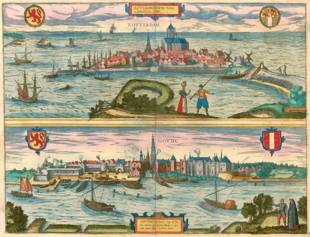
Roterodamum Hollandiae Opp. [on sheet whith:] Goude 1599
Rotterdam - Gouda by Georg Braun & Frans Hogenberg
[Item number: 23315]
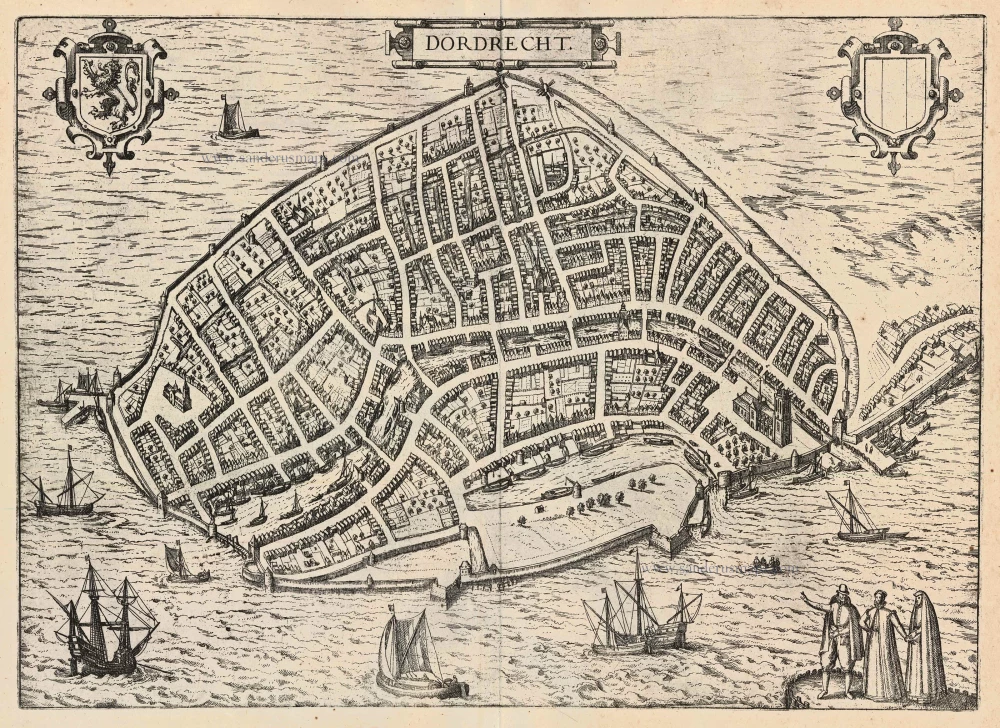
Dordrecht 1599
Dordrecht, by Georg Braun and Frans Hogenberg.
[Item number: 24043]