
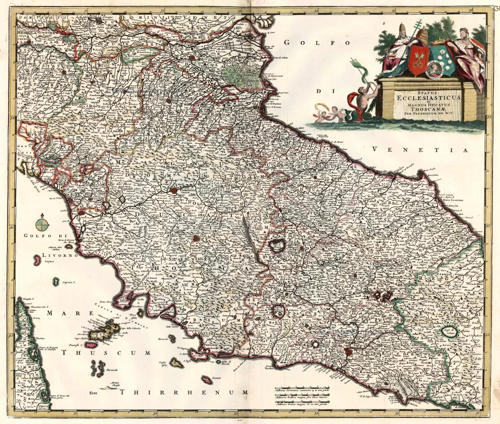
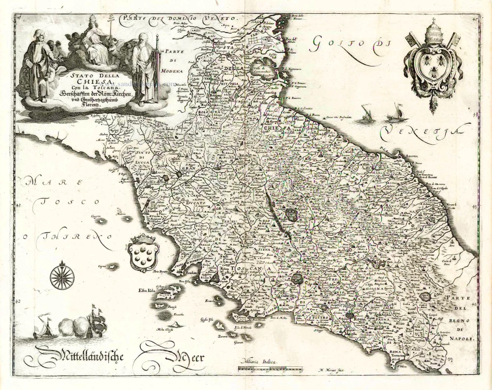
Papal States & Toscana by Frederik De Wit. c. 1680
Frederick de Wit (1630-1706)
The engraver and map-seller, Frederick de Wit, was born in Gouda (Netherlands) in 1630 as a son of Hendrick Fredericksz de Wit. Through his marriage with Maria van der Waag of Amsterdam in 1661, he obtained citizenship of the city where he had been working since 1648 and where he became one of the most famous engravers of maps of the second half of the 17th century. Although De Wit was a Catholic, which meant that he was not favoured at the time by the city council, he was awarded the honour of being listed as one of the "excellent citizens" on the roll of the city council in the years 1694-1704. However, his name was not written in the Guild of St. Luke book before 1664. At that time, he lived on the Kalverstraat "in de Witte Pascaert", where he stayed until his death in 1706. His earliest dates on maps engraved are 1659 (Regni Daniae) and 1660 (World map).
Frederick de Wit published several world atlases, a sea atlas, and an atlas of the Netherlands.
The dating of the maps is difficult. However, as a privilege was granted in 1689, the annotation 'cum privilegio' marks an edition after 1688.
Around 1700, Frederick de Wit entered the market with a town atlas. He produced two volumes with a total of 260 plans and views. Most were printed from plates used for Janssonius and Blaeu town atlases.
After he died in 1706, his widow continued the shop until 1709. The plates and stock of De Wit's atlas were sold to Covens & Mortier in 1710, who sold the atlas for an extended period.
Status Ecclesiasticus et Magnus Ducatus Thoscanae.
Item Number: 24382 Authenticity Guarantee
Category: Antique maps > Europe > Italy
Old, antique map of the Papal States & Toscana by Frederik De Wit.
Title: Status Ecclesiasticus et Magnus Ducatus Thoscanae.
Per Fredericum De Wit.
Date: c. 1680.
Copper engraving, printed on paper.
Size (not including margins): 490 x 575mm (19.29 x 22.64 inches).
Verso: Blank.
Condition: Old coloured.
Condition Rating: A.
From: Composite Atlas by F. De Wit, c. 1680.
Frederick de Wit (1630-1706)
The engraver and map-seller, Frederick de Wit, was born in Gouda (Netherlands) in 1630 as a son of Hendrick Fredericksz de Wit. Through his marriage with Maria van der Waag of Amsterdam in 1661, he obtained citizenship of the city where he had been working since 1648 and where he became one of the most famous engravers of maps of the second half of the 17th century. Although De Wit was a Catholic, which meant that he was not favoured at the time by the city council, he was awarded the honour of being listed as one of the "excellent citizens" on the roll of the city council in the years 1694-1704. However, his name was not written in the Guild of St. Luke book before 1664. At that time, he lived on the Kalverstraat "in de Witte Pascaert", where he stayed until his death in 1706. His earliest dates on maps engraved are 1659 (Regni Daniae) and 1660 (World map).
Frederick de Wit published several world atlases, a sea atlas, and an atlas of the Netherlands.
The dating of the maps is difficult. However, as a privilege was granted in 1689, the annotation 'cum privilegio' marks an edition after 1688.
Around 1700, Frederick de Wit entered the market with a town atlas. He produced two volumes with a total of 260 plans and views. Most were printed from plates used for Janssonius and Blaeu town atlases.
After he died in 1706, his widow continued the shop until 1709. The plates and stock of De Wit's atlas were sold to Covens & Mortier in 1710, who sold the atlas for an extended period.
Related items
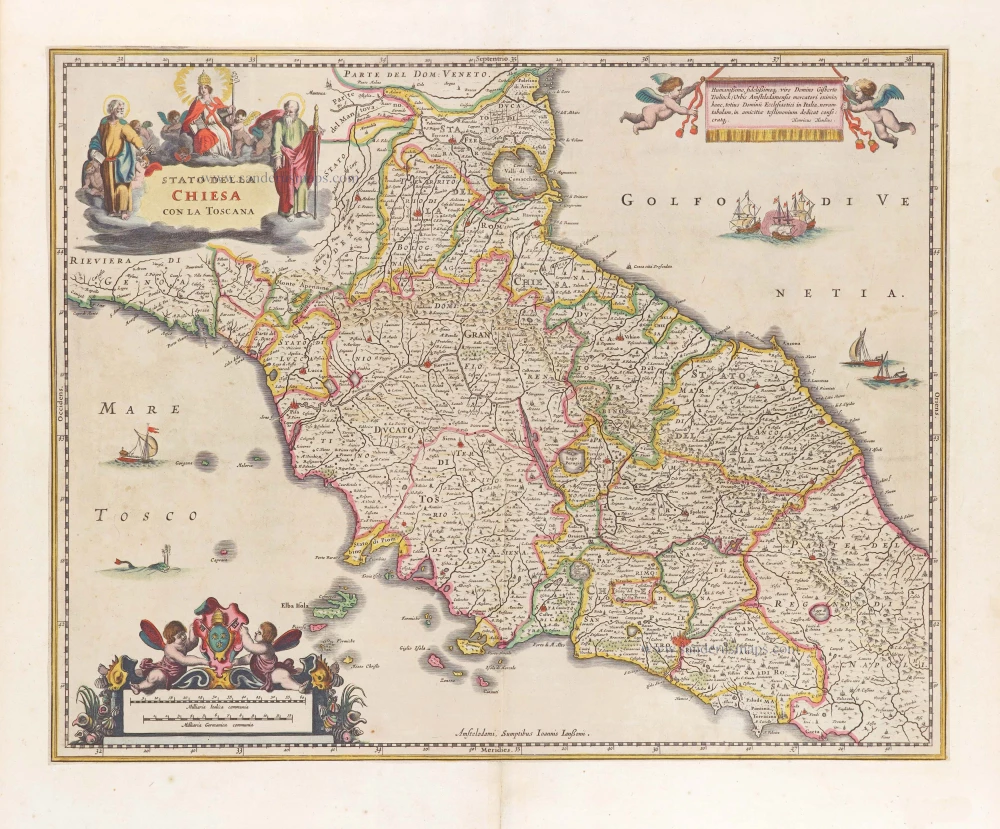
Stato della Chiesa con la Toscana 1644-58
Papal State - Tuscany (Toscana) by Janssonius J. - Hondius H.
[Item number: 19236]
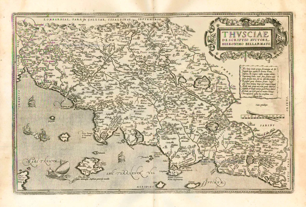
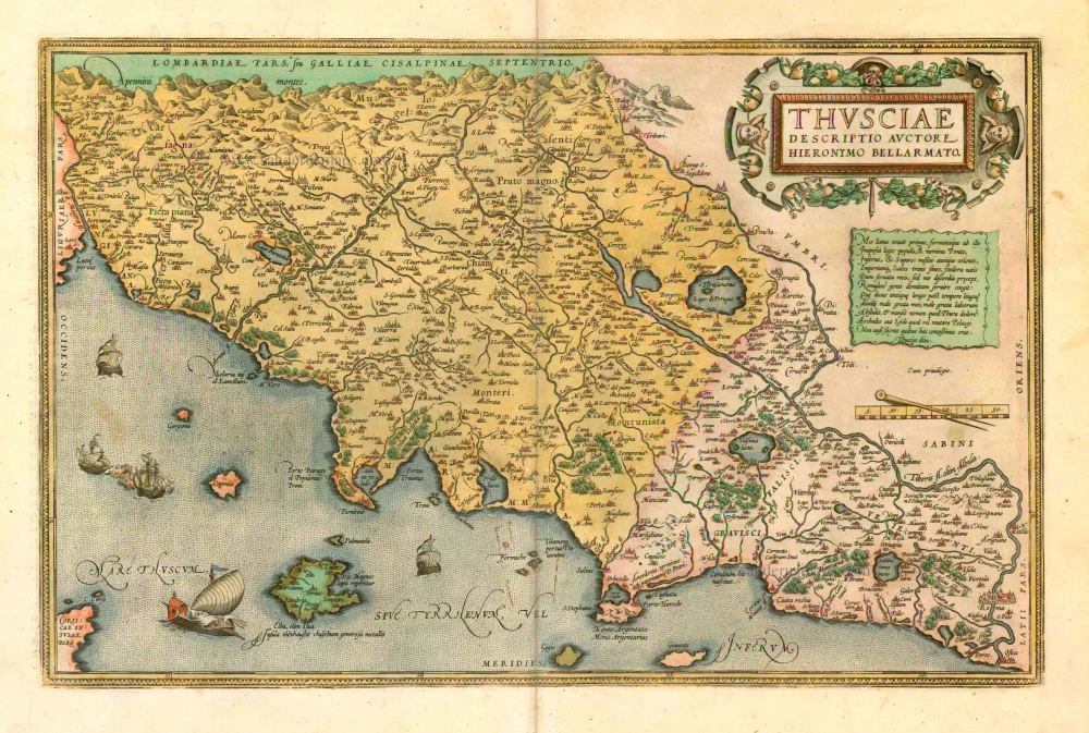
Thusciae 1601
Tuscany (Toscana), by A. Ortelius.
[Item number: 13148]
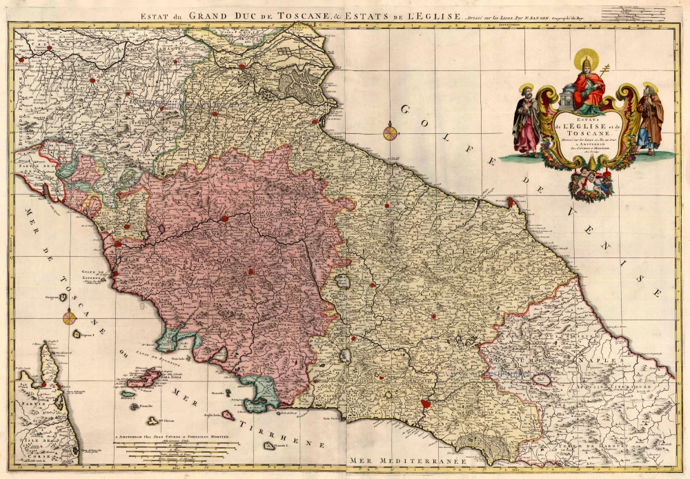
Estats de l'Eglise et de Toscane ... 1721-41
Central Italy, by Covens & Mortier
[Item number: 23559]
Thusciae. 1601
Tuscany (Toscana), by A. Ortelius.
[Item number: 8067]
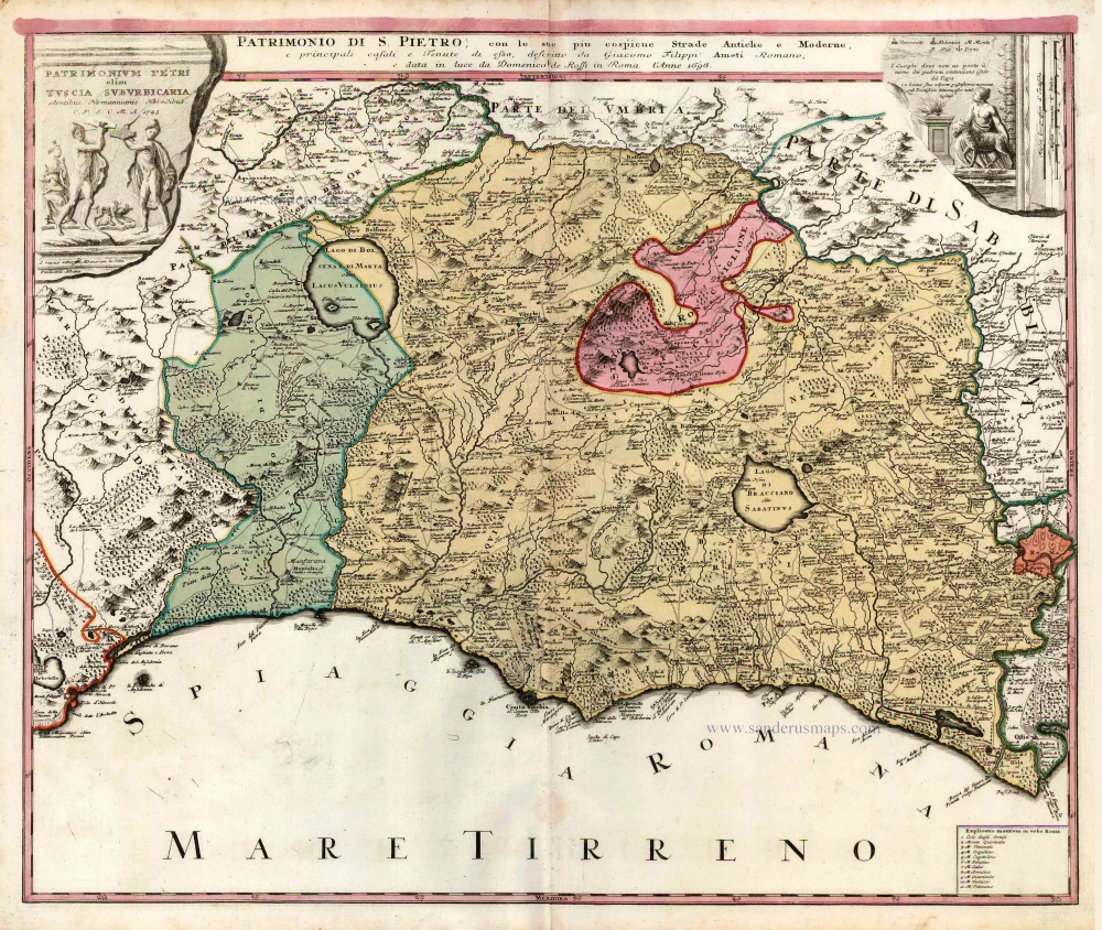
Patrimonium Petri olim Tuscia Suburbicaria ... [Title also in Italian, above map:] Patrimonio di S. Pietro, con le sue piu cospicue Strade Antichee Moderne, ... c. 1737
Lazio, by Homann Heirs.
[Item number: 25948]
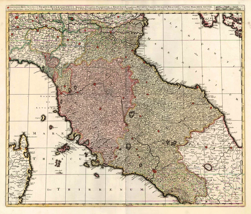
Status Ecclesiasticus, Magnus Ducatus Florentiae, et Resp. Lucae ... c. 1700
Central Italy, by G. & L. Valck, published by R. & I. Ottens.
[Item number: 26005]
Stato della Chiesa con la Toscana ... 1638
Central Italy, by M. Merian.
[Item number: 26031]
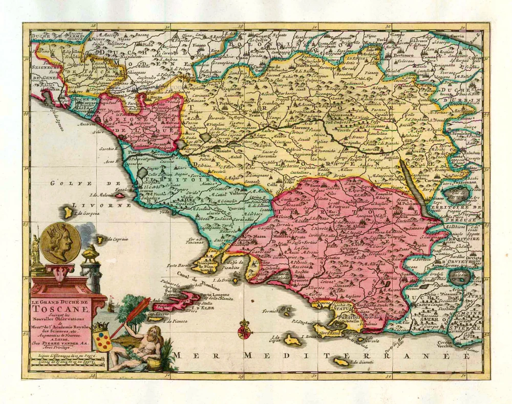
Le Grand Duché de Toscane. 1713
Tuscany (Toscana) by P. Van der Aa.
[Item number: 26079]
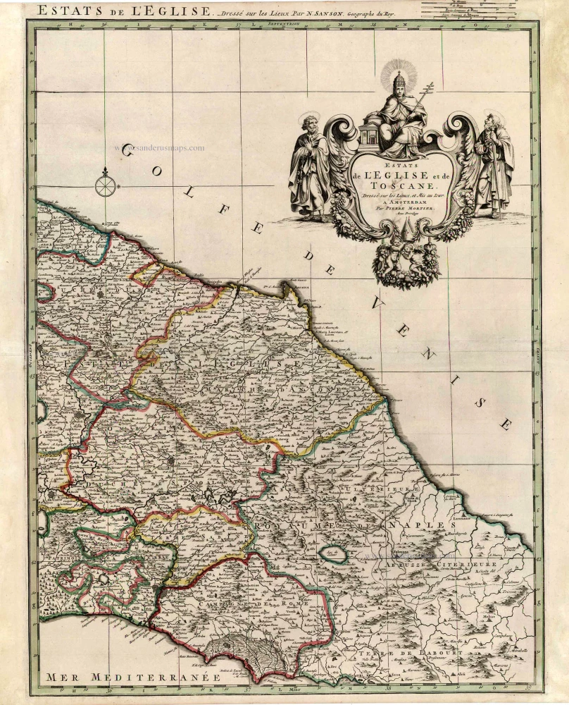
Estats de l'Eglise et de Toscane. 1705-1711
Central Italy, by Pieter Mortier.
[Item number: 27069]
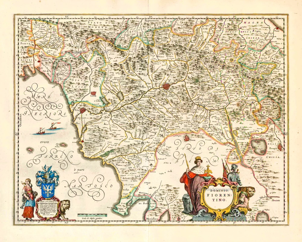
Dominio Fiorentino. 1640
Tuscany - Florence, by Joan Blaeu.
[Item number: 27235]

Carte du Grand-Duché de Toscane. 1776-79
Tuscany (Toscana) by Francesco & Paolo Santini
[Item number: 27724]

Partie Septentrionale de L'Etat de L'Eglise, contanant les Légations de Ferrare, de Bologne, et de Romagne, par le R.P. Boscovich. 1776-79
Papal States (North) by Paolo Santini.
[Item number: 27725]

Partie de milieu de L'Etat de L'Eglise, contenant les Légations d' Urbin, La Marche, L'Ombrie, avec les territoires d'Orvieto, de Perouse et de Citta de Castello, par le P. Boscovich. 1776-79
Papal States (Central), by Paolo Santini.
[Item number: 27726]
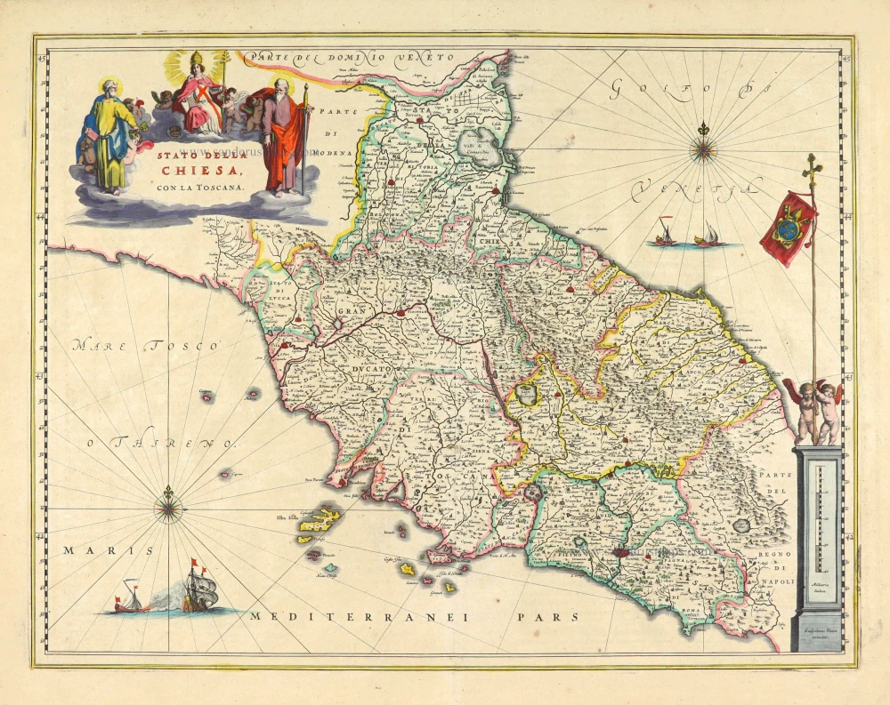
Stato della Chiesa, con la Toscana. 1640
Papal State - Toscane, by Willem Blaeu.
[Item number: 28030]
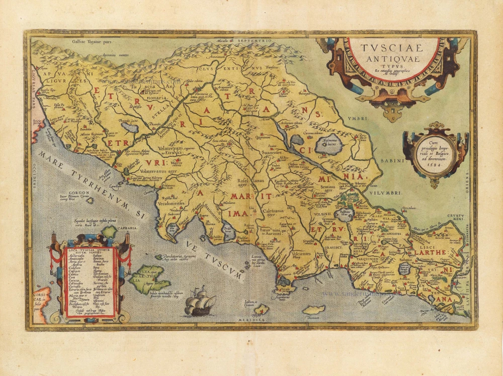
Tusciae Antiquae Typus. 1584
Ancient Tuscany (Toscana), by Abraham Ortelius.
[Item number: 29145]