
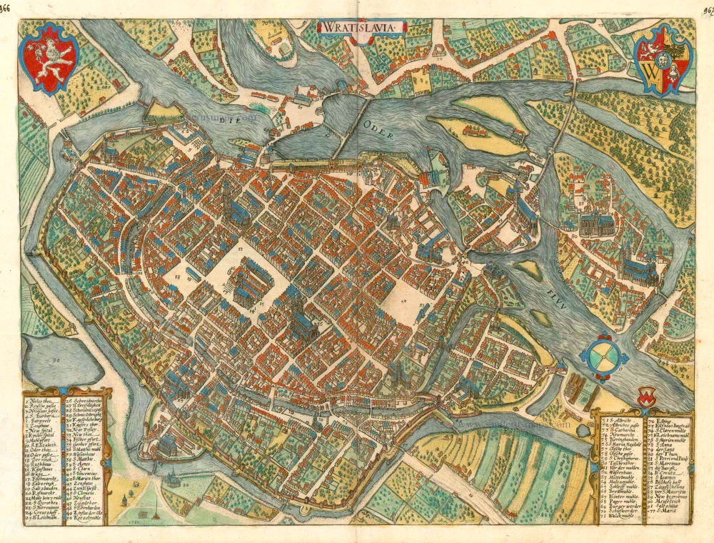
Wroclaw (Breslau), by Georg Braun and Frans Hogenberg. c. 1593


Braun G. & Hogenberg F. and the Civitates Orbis Terrarum.
The Civitates Orbis Terrarum, or the "Braun & Hogenberg", is a six-volume town atlas and the most excellent book of town views and plans ever published: 363 engravings, sometimes beautifully coloured. It was one of the best-selling works in the last quarter of the 16th century. Georg Braun wrote the text accompanying the plans and views on the verso. Many plates were engraved after the original drawings of a professional artist, a professional artist, Joris Hoefnagel (1542-1600). The first volume was published in Latin in 1572, and the sixth in 1617. Frans Hogenberg created the tables for volumes I through IV, and Simon van den Neuwel made those for volumes V and VI. Other contributors were cartographers Daniel Freese and Heinrich Rantzau. Works by Jacob van Deventer, Sebastian Münster, and Johannes Stumpf were also used. Translations appeared in German and French.
Following the original publication of Volume 1 of the Civitates in 1572, seven further editions of 1575, 1577, 1582, 1588, 1593, 1599 and 1612 can be identified. Vol.2, first issued in 1575, was followed by further editions in 1597 and 1612. The subsequent volumes appeared in 1581, 1588, 1593, 1599 and 1606. The German translation of the first volume appeared from 1574 on, and the French edition from 1575 on.
Several printers were involved: Theodor Graminaeus, Heinrich von Aich, Gottfried von Kempen, Johannis Sinniger, Bertram Buchholtz and Peter von Brachel, who all worked in Cologne.
Georg Braun (1541-1622)
Georg Braun was born in Cologne in 1541. After his studies in Cologne, he entered the Jesuit Order as a novice. 1561, he obtained his bachelor's degree, and in 1562, he received his Magister Artium. Although he left the Jesuit Order, he studied theology, gaining a licentiate in theology.
Frans Hogenberg (1535-1590)
Frans Hogenberg was a Flemish and German painter, engraver, and mapmaker. He was born in Mechelen as the son of Nicolaas Hogenberg.
By the end of the 1560s, Frans Hogenberg was employed upon Abraham Ortelius's Theatrum Orbis Terrarum, published in 1570; he is named an engraver of numerous maps. In 1568, he was banned from Antwerp by the Duke of Alva and travelled to London, where he stayed a few years before emigrating to Cologne. He immediately embarked on his two most important works, the Civitates, published in 1572 and the Geschichtsblätter, which appeared in several series from 1569 until about 1587.
Thanks to large-scale projects like the Geschichtsblätter and the Civitates, Hogenberg's social circumstances improved with each passing year. He died as a wealthy man in Cologne in 1590.
Wratislavia.
Item Number: 24572 Authenticity Guarantee
Category: Antique maps > Europe > Eastern Europe
Antique map - bird's-eye view plan of Wroclaw (Breslau) by Braun and Hogenberg.
COMMENTARY BY BRAUN (on verso): "The city government, which is constituted of the best and wisest of councillors, is held there in high esteem and great honour. The populace also obeys the Council with the greatest deference and the humblest submissiveness. The city ordinances there do not favour any one party over another but rather strive for propriety, the observance of justice and the equality of all citizens. [...] In addition, there are also designated magistrates, who with their clercks, impart advice to everyone in the country who seeks their counsel. In addition, there are many arts and crafts in this city that are both good and useful for everyday life. Moreover, it should not be forgotten that good, flavoursome beer is brewed there."
Wroclaw (German Breslau) is shown in a bird's-eye view, looking towards southwest, with the River Oder dividing into several arms. Large market squares are at the centre of the fortified city: on the left, the Ring (13) with the town hall (14), next to which is the Salzring (18), and to the right Neumarkt (54). Cathedral Island (80) - the bishopric of Wroclaw was established in AD 1000 - is on the right-hand margin of the picture. The building of a new fortified castel (30) in the late 12th century gave the city three centres: the ducal seat and the Ghetto under its protection; the ecclesiastical city on Sand and Cathedral Islands; and the German mercantile city, more recently laid out round the Ring. Ceded to the Habsburgs in 1526, Wroclaw became Prussian in 1742. In the Holy Roman Empire, Wroclaw was a major centre of trade and commerce and a university city. The city became Polish after the Second World War. Displaced Poles, most of them from what is now Lviv in Ukraine, replaced the displaced Germans who were forced to leave the city after the war. (Taschen)
Date of the first edition: 1588
Date of this map: c. 1593
Copper engraving
Size: 36.5 x 49cm (14.2 x 19.1 inches)
Verso text: French
Condition: Old coloured, excellent.
Condition Rating: A
References: Van der Krogt 4, 4876; Fauser, 1924; Taschen, Br. Hog., p.322
From: Liber Quartus - Théatre des Principales Villes de tout L'Univers. Cologne, c. 1593. (Van der Krogt 4, 41:3.4)
Braun G. & Hogenberg F. and the Civitates Orbis Terrarum.
The Civitates Orbis Terrarum, or the "Braun & Hogenberg", is a six-volume town atlas and the most excellent book of town views and plans ever published: 363 engravings, sometimes beautifully coloured. It was one of the best-selling works in the last quarter of the 16th century. Georg Braun wrote the text accompanying the plans and views on the verso. Many plates were engraved after the original drawings of a professional artist, a professional artist, Joris Hoefnagel (1542-1600). The first volume was published in Latin in 1572, and the sixth in 1617. Frans Hogenberg created the tables for volumes I through IV, and Simon van den Neuwel made those for volumes V and VI. Other contributors were cartographers Daniel Freese and Heinrich Rantzau. Works by Jacob van Deventer, Sebastian Münster, and Johannes Stumpf were also used. Translations appeared in German and French.
Following the original publication of Volume 1 of the Civitates in 1572, seven further editions of 1575, 1577, 1582, 1588, 1593, 1599 and 1612 can be identified. Vol.2, first issued in 1575, was followed by further editions in 1597 and 1612. The subsequent volumes appeared in 1581, 1588, 1593, 1599 and 1606. The German translation of the first volume appeared from 1574 on, and the French edition from 1575 on.
Several printers were involved: Theodor Graminaeus, Heinrich von Aich, Gottfried von Kempen, Johannis Sinniger, Bertram Buchholtz and Peter von Brachel, who all worked in Cologne.
Georg Braun (1541-1622)
Georg Braun was born in Cologne in 1541. After his studies in Cologne, he entered the Jesuit Order as a novice. 1561, he obtained his bachelor's degree, and in 1562, he received his Magister Artium. Although he left the Jesuit Order, he studied theology, gaining a licentiate in theology.
Frans Hogenberg (1535-1590)
Frans Hogenberg was a Flemish and German painter, engraver, and mapmaker. He was born in Mechelen as the son of Nicolaas Hogenberg.
By the end of the 1560s, Frans Hogenberg was employed upon Abraham Ortelius's Theatrum Orbis Terrarum, published in 1570; he is named an engraver of numerous maps. In 1568, he was banned from Antwerp by the Duke of Alva and travelled to London, where he stayed a few years before emigrating to Cologne. He immediately embarked on his two most important works, the Civitates, published in 1572 and the Geschichtsblätter, which appeared in several series from 1569 until about 1587.
Thanks to large-scale projects like the Geschichtsblätter and the Civitates, Hogenberg's social circumstances improved with each passing year. He died as a wealthy man in Cologne in 1590.
Related items
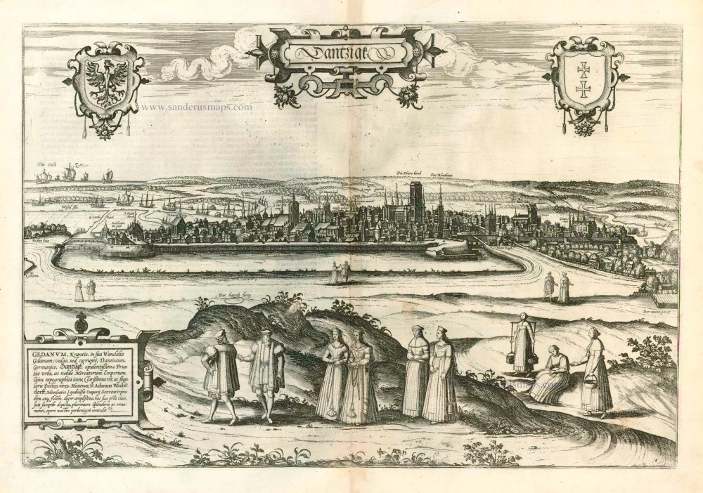
Dantzigk - Gedanum, Krantio, in sua Wandalia Gdanum; . . . 1576
Gdansk, by Georg Braun and Frans Hogenberg.
[Item number: 4056]
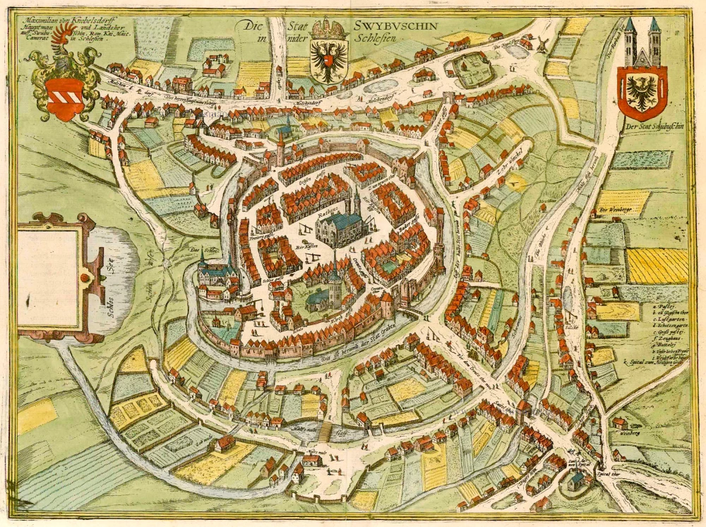
Die Stat Swybuschin in Nider Schlesien. 1596
Poland - Swiebodzin, by Braun & Hogenberg.
[Item number: 22102]
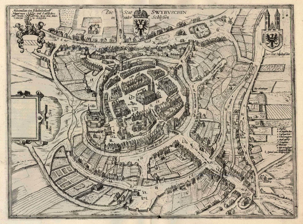
Die Stat Swybuschin in Nider Schlesien 1596
Swiebodzin, by Georg Braun and Frans Hogenberg.
[Item number: 24182]
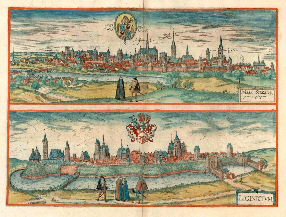
Nissa Silesior Sedes Episcopalis [on sheet with] Liginicium c. 1625
Nysa and Legnica (Poland), by Georg Braun and Frans Hogenberg.
[Item number: 24584]
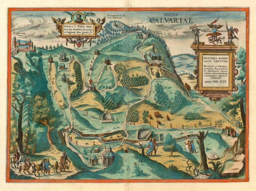
Mons Calvariae. c. 1625
Kalwarya Zebrzydowska (Poland) by Georg Braun & Frans Hogenberg.
[Item number: 10510]
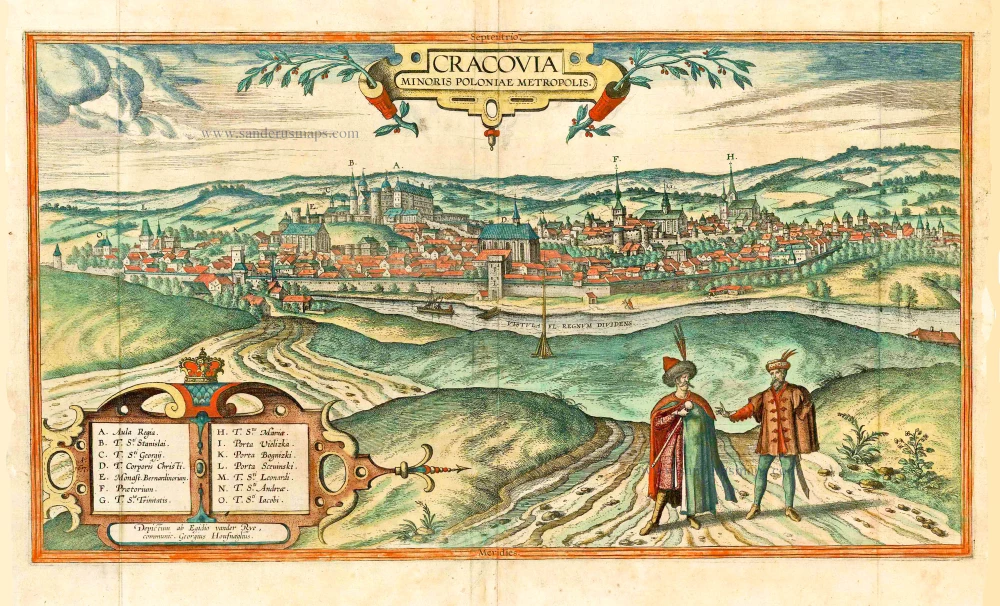
Cracovia Minoris Poloniae Metropolis. 1617-18
Krakow, by Georg Braun and Frans Hogenberg. after G. Hoefnagel and E. vander Rye.
[Item number: 25150]
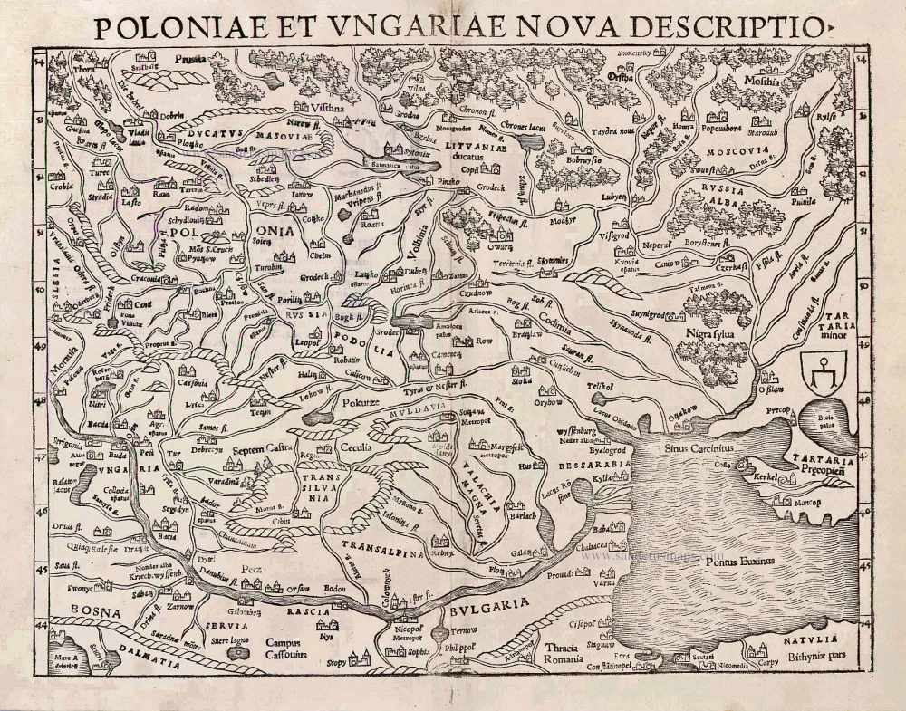
Poloniae et Ungariae Nova Descriptio. 1552
Poland and Hungary, by S. Münster.
[Item number: 25905]
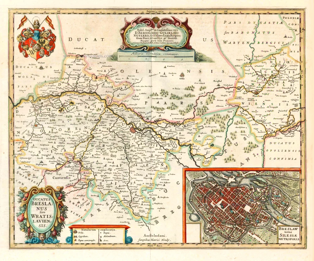
Ducatus Breslanus sive Wratislaviensis. 1641
Wroclaw (Breslau), by Henricus Hondius.
[Item number: 26280]

Wratislavia. 1590
Wroclaw (Breslau), by Georg Braun & Frans Hogenberg.
[Item number: 26777]