
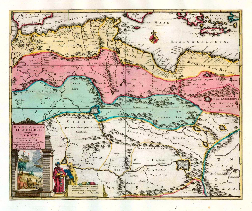
Northern Africa (Barbary), by Pieter van der Aa. 1713
Pieter van der Aa (Leiden, 1659-1733)
Pieter van der Aa was already in 1682 owner of a bookshop and auction house. During his life, he has published an enormous amount of printed material.
After 1700, van der Aa increasingly specialised in books on geography and travel.
He published composite atlases, a series of geographical descriptions of European countries, and some very spectacular works. Between 1706 and 1708 he published the Naauweurige versameling der gedenkwaardigste zee- en land-reysen, in 28 volumes.
Many of Van der Aa’s publications are richly illustrated with maps and plates. He took over many copperplates and prints from other publishers such as Carel Allard and Frederik De Wit. The composite atlases that appeared from his workshop contain a curious mixture of his own material, copies of maps from other publishers, and reprints made from old copper plates, now with his own imprint.
The Galérie agréable du monde, was completed in 1729, and comprised 66 parts, bound in 27 volumes. Van der Aa presented it as a good investment; after publication, the antiquarian value of the work would double, the more so since it was printed in a limited edition of only one hundred copies.
Barbarie, Biledulgerid, (autrefois Libye) et une partie du Pays des Negres.
Item Number: 26154 Authenticity Guarantee
Category: Antique maps > Africa
Old, antique map of Northern Africa (Barbary), by P. Van der Aa.
After O. Dapper.
Date of the first edition: 1713
Date of this map: 1713
Copper engraving, printed on paper.
Size (not including margins): 26.5 x 32.5cm (10.3 x 12.7 inches)
Verso: Blank
Condition: Original body colour, trimmed to neatline and mounted on heavy paper at an early time.
Condition Rating: A
References: Van der Krogt 4, 60:32; Koeman, Aa7 (163).
From: Nouvel Atlas, très exact et fort commode pour toutes sortes de personnes, Contenant Les Principales cartes géographiques. Leiden, P. Van der Aa, n.d. (1713) (Koeman, Aa7).
Van der Aa maps are rarely found in original colouring.
Pieter van der Aa (Leiden, 1659-1733)
Pieter van der Aa was already in 1682 owner of a bookshop and auction house. During his life, he has published an enormous amount of printed material.
After 1700, van der Aa increasingly specialised in books on geography and travel.
He published composite atlases, a series of geographical descriptions of European countries, and some very spectacular works. Between 1706 and 1708 he published the Naauweurige versameling der gedenkwaardigste zee- en land-reysen, in 28 volumes.
Many of Van der Aa’s publications are richly illustrated with maps and plates. He took over many copperplates and prints from other publishers such as Carel Allard and Frederik De Wit. The composite atlases that appeared from his workshop contain a curious mixture of his own material, copies of maps from other publishers, and reprints made from old copper plates, now with his own imprint.
The Galérie agréable du monde, was completed in 1729, and comprised 66 parts, bound in 27 volumes. Van der Aa presented it as a good investment; after publication, the antiquarian value of the work would double, the more so since it was printed in a limited edition of only one hundred copies.
Related items
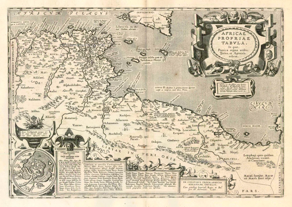
Africae Propriae Tabula. 1624
Ancient Northern Africa, by Ortelius A.
[Item number: 2053]
Barbaria 1613-16
Northern Africa by J. Hondius
[Item number: 13746]
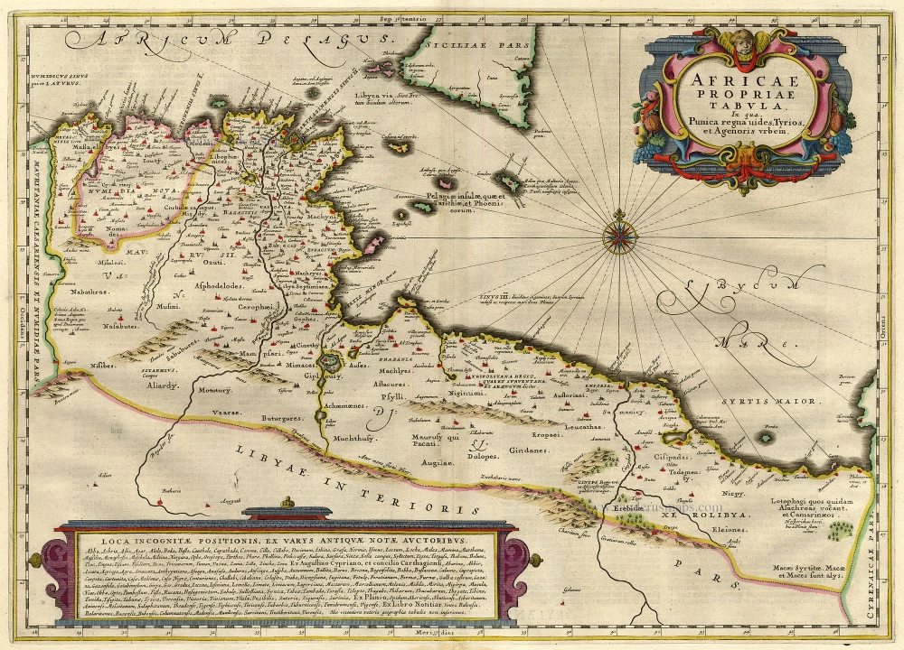
Africae Propriae Tabula .. 1645-58
Northern Africa, by Janssonius J.
[Item number: 19443]
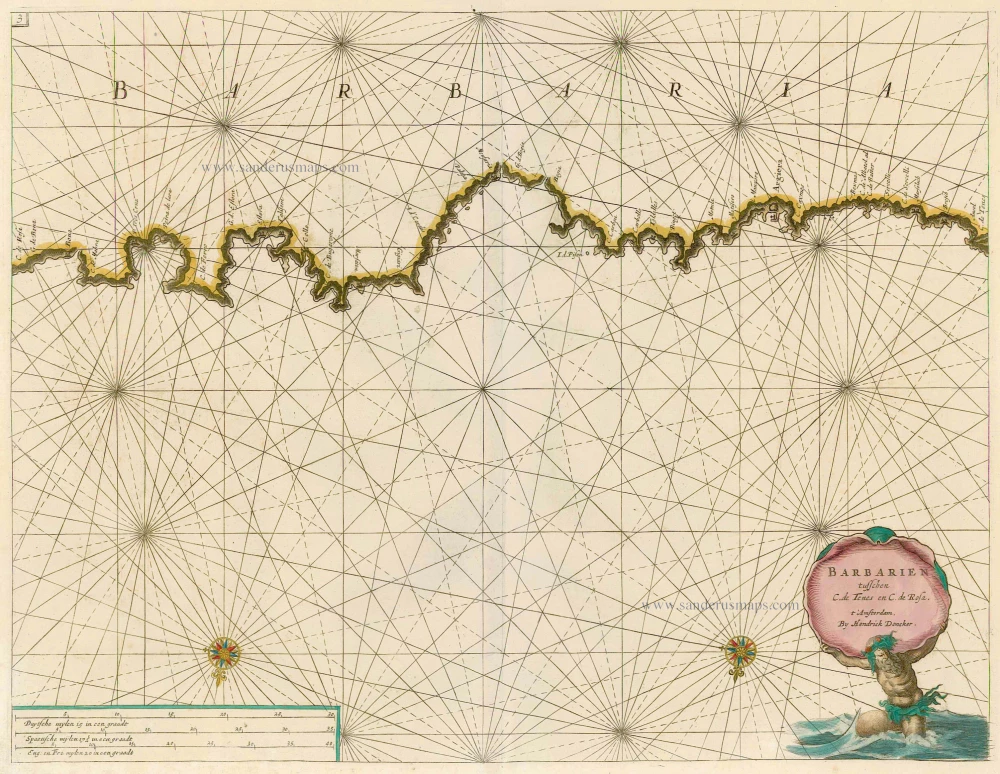
Barbarien tusschen C. de Tenes en C. de Rosa. t' Amsterdam, By Hendrick Doncker. 1664
Northern Africa, by Doncker H.
[Item number: 21375]
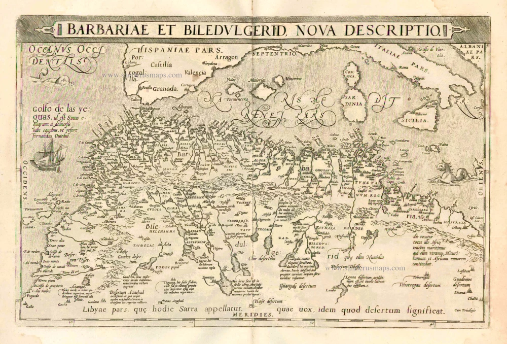
Barbariae et Biledulgerid, Nova Descriptio. 1601
Northern Africa, by A. Ortelius.
[Item number: 22524]

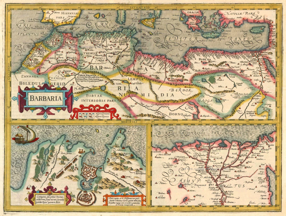
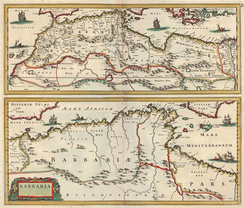
Barbaria 1662
Northern Africa, by Blaeu J.
[Item number: 22814]
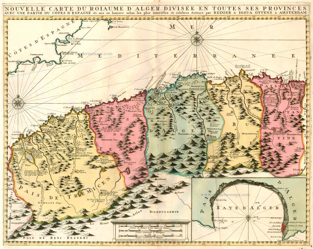
Nouvelle Carte du Roiaume d'Alger, divisée en toutes ses provinces, avec une partie du Côtes d'Espagne &c. 1756
Northern Africa - Algeria (Algiers) by Ottens R. & J.
[Item number: 23495]
Barbaria c. 1680
Northern Africa, by F. de Wit.
[Item number: 24490]
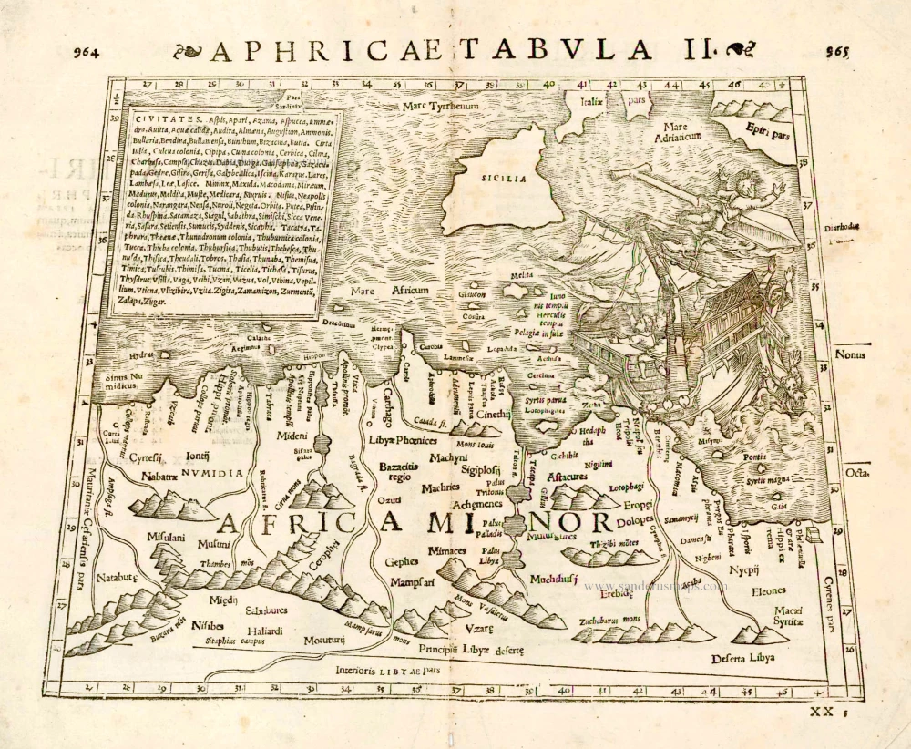
Aphricae Tabula II. 1571
Tunisia by Strabo - Sebastian Münster
[Item number: 27694]
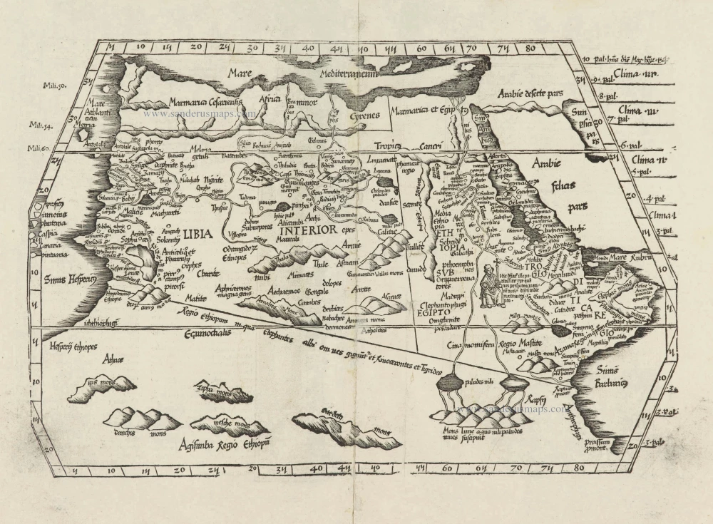
[Title on verso:] Tabula .IIII. Aphricae. 1525
Ptolemaic map of Northern Africa, by Lorenz Fries.
[Item number: 27976]

Nova Barbariae Descriptio. 1657
Northern Africa by Joannes Janssonius.
[Item number: 28219]
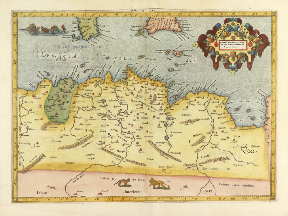
AFR. II. TAB. 1605
Northern Africa by Claudius Ptolemy, published by Jodocus Hondius.
[Item number: 28884]
Parergon map
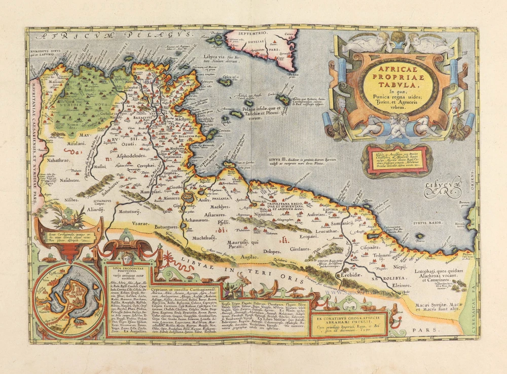
Africae Propriae Tabula, In qua, Punica regna vides; Tyrios, et Agenoris urbem. 1609
Abraham Ortelius, Ancient Northern Africa.
[Item number: 29348]
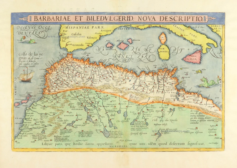
Barbariae et Biledulgerid, Nova Descriptio. 1584
Northern Africa, by Abraham Ortelius.
[Item number: 29356]
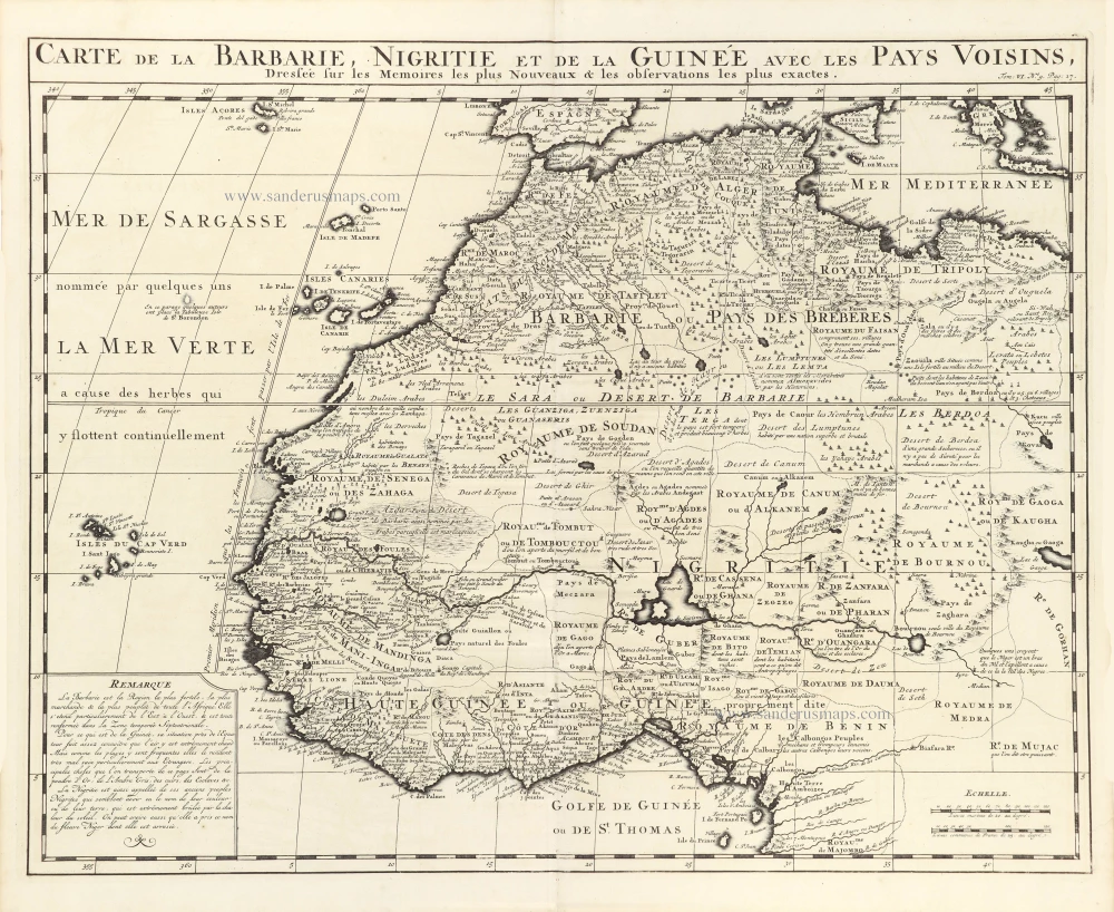
Carte de la Barbarie, Nigritie et de la Guinee avec les Pays Voisins, 1719
Northwest Africa, by Z. Châtelain.
[Item number: 29369]
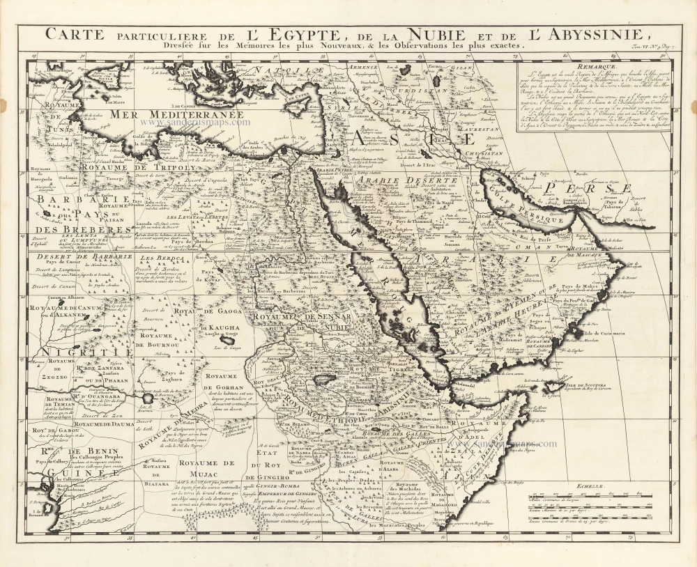
Carte Particuliere de l'Egypte, de la Nubie et de l'Abyssinie. 1719
Northeast Africa & Arabia, by Z. Châtelain.
[Item number: 29371]
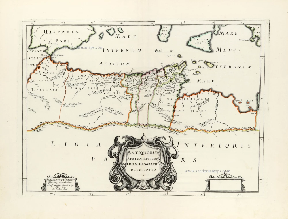
Antiquorum Africae Episcopatuum Geographice Descriptio. 1640
Northern Africa by Melchior Tavernier, published for Nicolas Sanson.
[Item number: 30001]
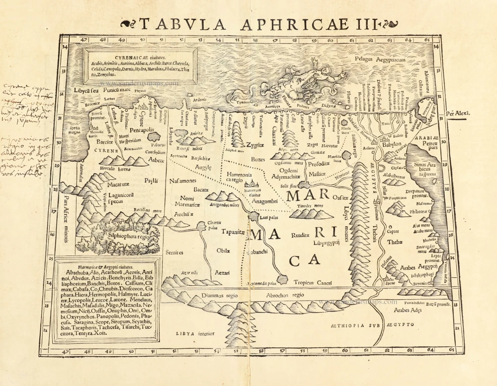
Tabula Aphricae III. 1545
Northern Africa by Sebastian Münster.
[Item number: 30293]