
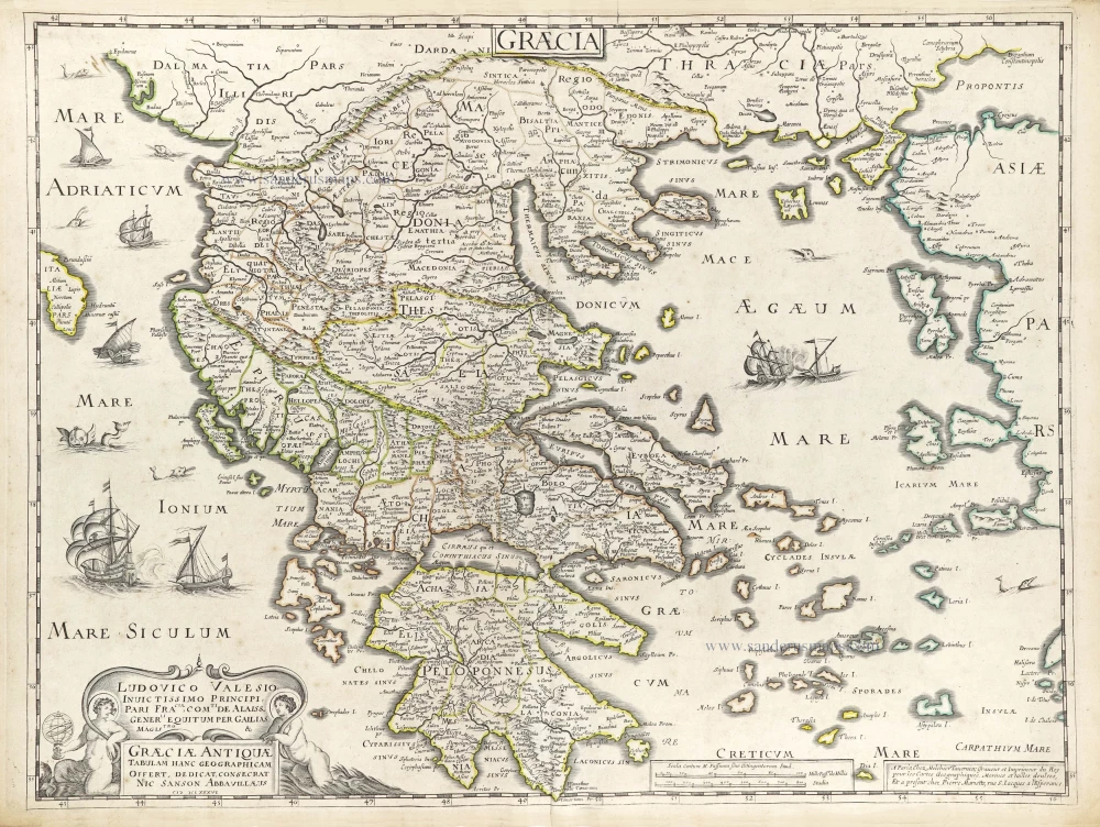
Greece, by Johannes Janssonius; 1641


The Janssonius Family
Joannes Janssonius (Arnhem, 1588-1664), son of the Arnhem publisher Jan Janssen, married Elisabeth Hondius, daughter of Jodocus Hondius, in Amsterdam in 1612. After his marriage, he settled down in this town as a bookseller and publisher of cartographic material. In 1618, he established himself in Amsterdam next door to Blaeu’s bookshop. He entered into serious competition with Willem Jansz. Blaeu when copying Blaeu’s Licht der Zeevaert after the expiration of the privilege in 1620. His activities concerned the publication of atlases, books, single maps, and an extensive book trade with branches in Frankfurt, Danzig, Stockholm, Copenhagen, Berlin, Koningsbergen, Geneva, and Lyon. In 1631, he began publishing atlases together with Henricus Hondius.
In the early 1640s, Henricus Hondius left the atlas publishing business to Janssonius. Competition with Joan Blaeu, Willem’s son and successor, in atlas production, prompted Janssonius to enlarge his Atlas Novus finally into a work of six volumes, into which a sea atlas and an atlas of the Old World were inserted. Other atlases published by Janssonius are Mercator’s Atlas Minor, Hornius’s historical atlas (1652), the townbooks in eight volumes (1657), Cellarius’s Atlas Coelestis and several sea atlases and pilot guides.
After the death of Joannes Janssonius, the shop and publishing firm were continued by the heirs under the direction of Johannes van Waesbergen (c. 1616-1681), son-in-law of Joannes Janssonius. Van Waesbergen added Janssonius's name to his own.
In 1676, Joannes Janssonius’s heirs sold by auction “all the remaining Atlases in Latin, French, High and Low German, as well as the Stedeboecken in Latin, in 8 volumes, bound and unbound, maps, plates belonging to the Atlas and Stedeboecken.” The copperplates from Janssonius’s atlases were afterwards sold to Schenk and Valck.
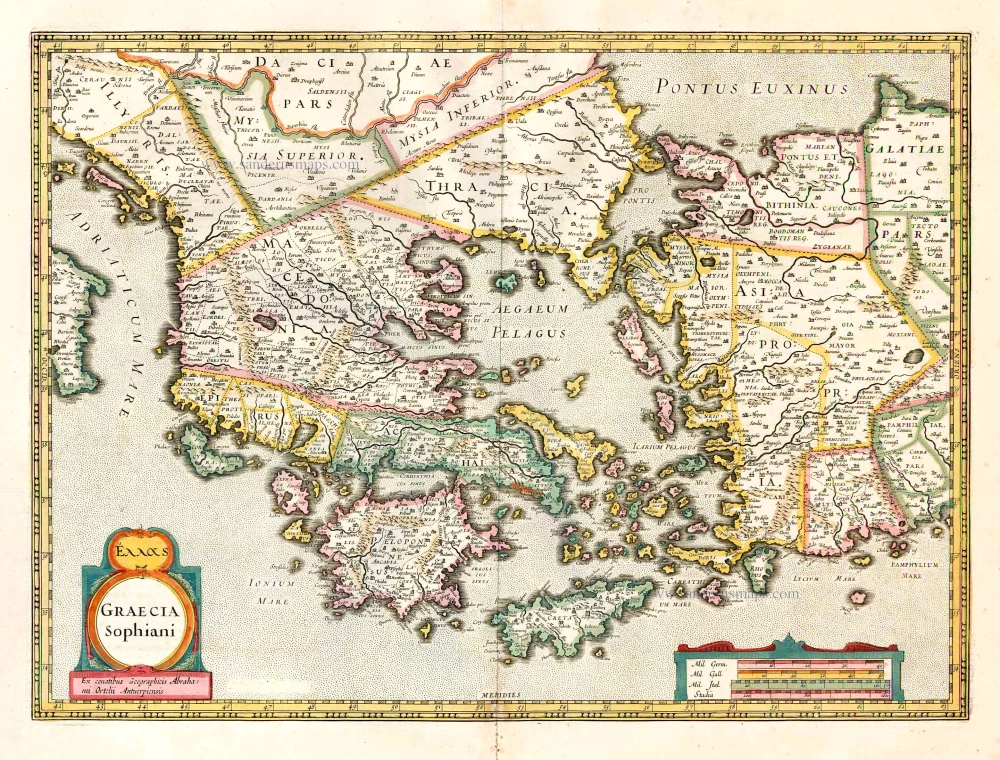
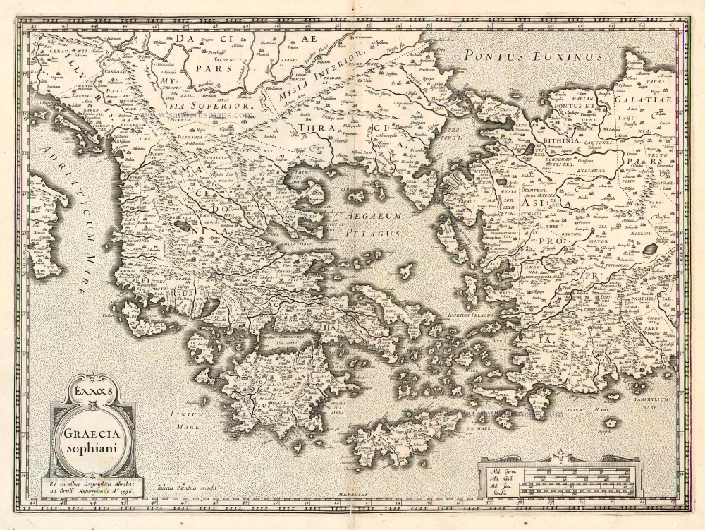
Graecia Sophiani.
Item Number: 26428 Authenticity Guarantee
Category: Antique maps > Europe > Greece & Greek Islands
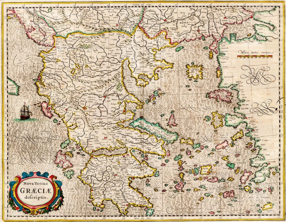
Old, antique map of Greece, by J. Janssonius.
Cartographer: A. Ortelius
Date of the first edition: 1638
Date of this map: 1641
Copper engraving, printed on paper.
Size (not including margins): 36.5 x 50cm (14.2 x 19.5 inches)
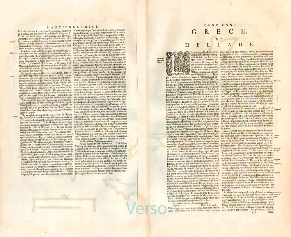
Verso text: French
Condition: Original coloured, excellent.
Condition Rating: A+
References: Van der Krogt 1, 7800H:1A.2; Zacharakis 3, 1667.
From: Nouveau Theatre du Monde ou Nouvel Atlas comprenant Les Tables et Descriptions de toutes les Regions de la Terre. Amsterdam, H. Hondius, 1641. (Van der Krogt 1, 412)
The Janssonius Family
Joannes Janssonius (Arnhem, 1588-1664), son of the Arnhem publisher Jan Janssen, married Elisabeth Hondius, daughter of Jodocus Hondius, in Amsterdam in 1612. After his marriage, he settled down in this town as a bookseller and publisher of cartographic material. In 1618, he established himself in Amsterdam next door to Blaeu’s bookshop. He entered into serious competition with Willem Jansz. Blaeu when copying Blaeu’s Licht der Zeevaert after the expiration of the privilege in 1620. His activities concerned the publication of atlases, books, single maps, and an extensive book trade with branches in Frankfurt, Danzig, Stockholm, Copenhagen, Berlin, Koningsbergen, Geneva, and Lyon. In 1631, he began publishing atlases together with Henricus Hondius.
In the early 1640s, Henricus Hondius left the atlas publishing business to Janssonius. Competition with Joan Blaeu, Willem’s son and successor, in atlas production, prompted Janssonius to enlarge his Atlas Novus finally into a work of six volumes, into which a sea atlas and an atlas of the Old World were inserted. Other atlases published by Janssonius are Mercator’s Atlas Minor, Hornius’s historical atlas (1652), the townbooks in eight volumes (1657), Cellarius’s Atlas Coelestis and several sea atlases and pilot guides.
After the death of Joannes Janssonius, the shop and publishing firm were continued by the heirs under the direction of Johannes van Waesbergen (c. 1616-1681), son-in-law of Joannes Janssonius. Van Waesbergen added Janssonius's name to his own.
In 1676, Joannes Janssonius’s heirs sold by auction “all the remaining Atlases in Latin, French, High and Low German, as well as the Stedeboecken in Latin, in 8 volumes, bound and unbound, maps, plates belonging to the Atlas and Stedeboecken.” The copperplates from Janssonius’s atlases were afterwards sold to Schenk and Valck.
Related items
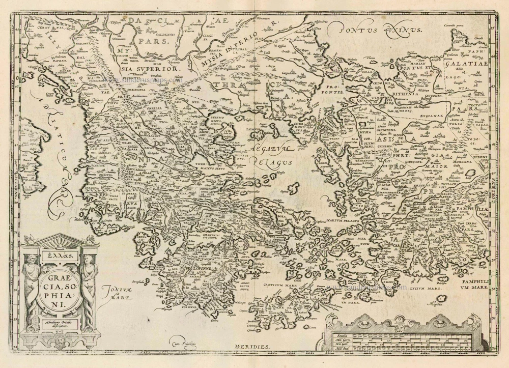
Parergon map
Graecia, Sophiani. 1624
Greece, by Ortelius A.
[Item number: 2050]
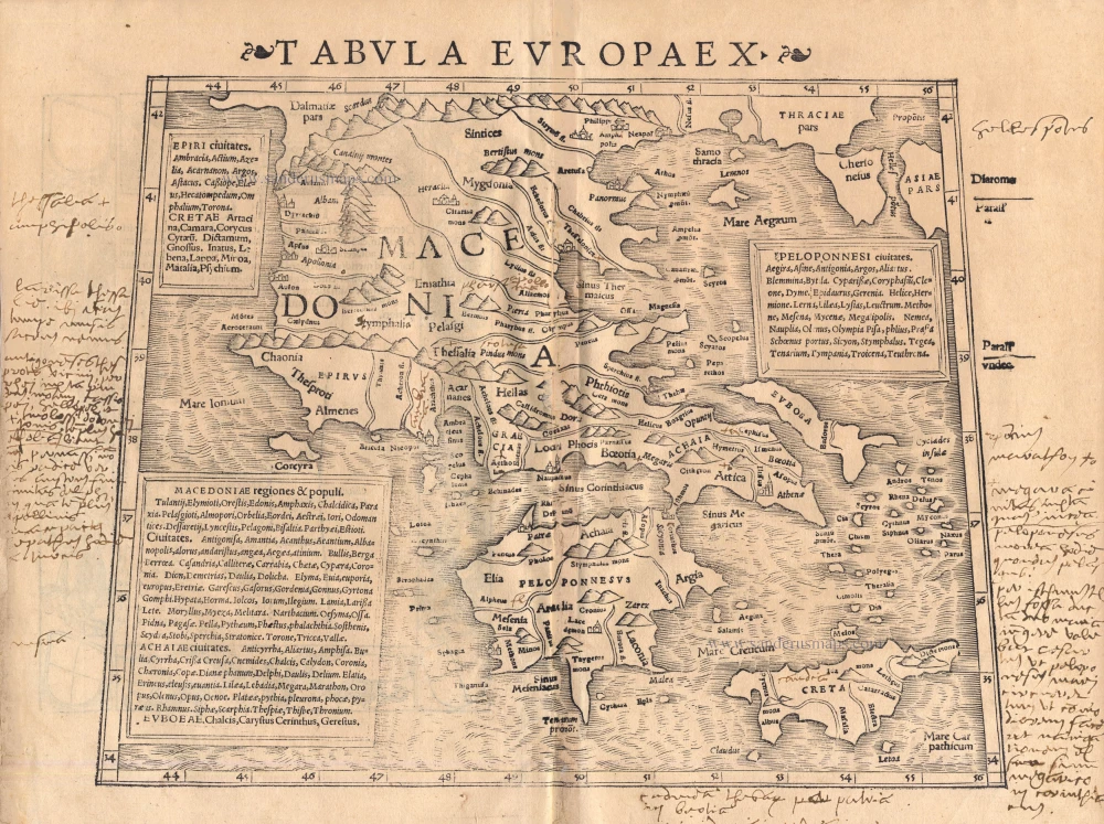
Tabula Europae X 1542
Greece, by Sebastian Münster.
[Item number: 14704]
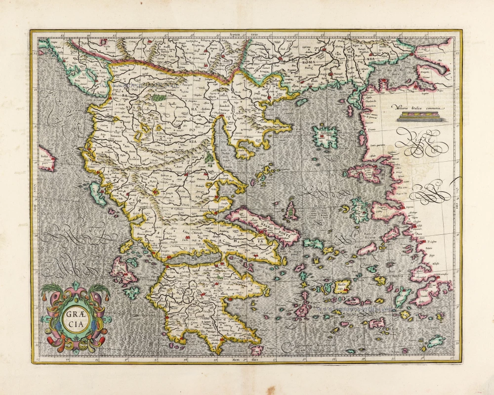
Nova Totius Graeciae descriptio. 1638
Greece, by J. Janssonius.
[Item number: 15357]
Graecia. 1633
Greece, by Gerard Mercator.
[Item number: 16999]

Graeciae Universae Secundum Hodiernum Situm Neoterica Descriptio. Jacobo Castaldo Pedemontano Autore. 1608
Greece, by Matthias Quad.
[Item number: 18856]
Graecia Sophiani / Ex conatibus geographicis Abrahami Ortelii Antuerpiensis Ao. 1596 / Judocus Hondius excudit. 1618
Greece, by Bertius P. - Hondius J.
[Item number: 24541]
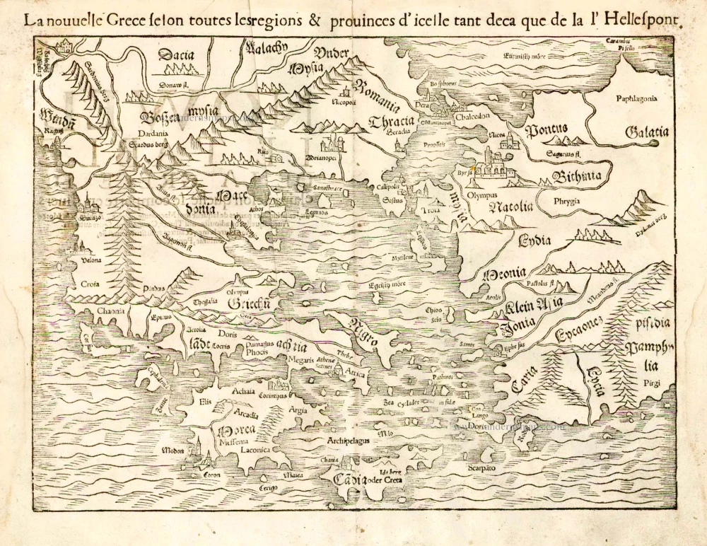
La nouvelle Grece selon toutes les regions & provinces d'icelle tant deca que de la l'Hellespont. 1555
Greece, by S. Munster.
[Item number: 25168]
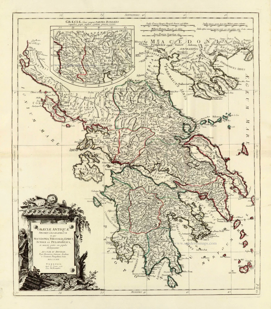
Graeciae Antiquae 1776-79
Ancient Greece, by Paolo Santini, after Jean-Baptiste Bourguignon d'Anville.
[Item number: 28108]
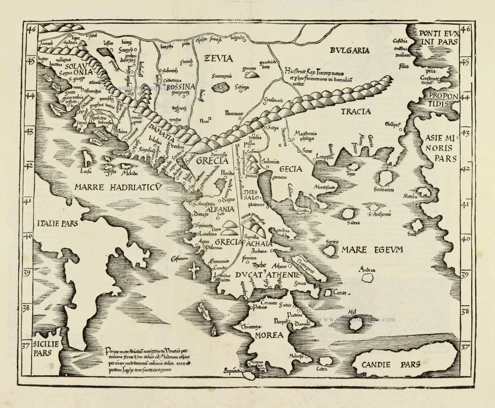
Ta Moder Bossinae, Serviae, Graeciae, et Sclavoniae. [From verso] 1525
Greece (Balkan), by Lorenz Fries after Martin Waldseemüller.
[Item number: 28117]
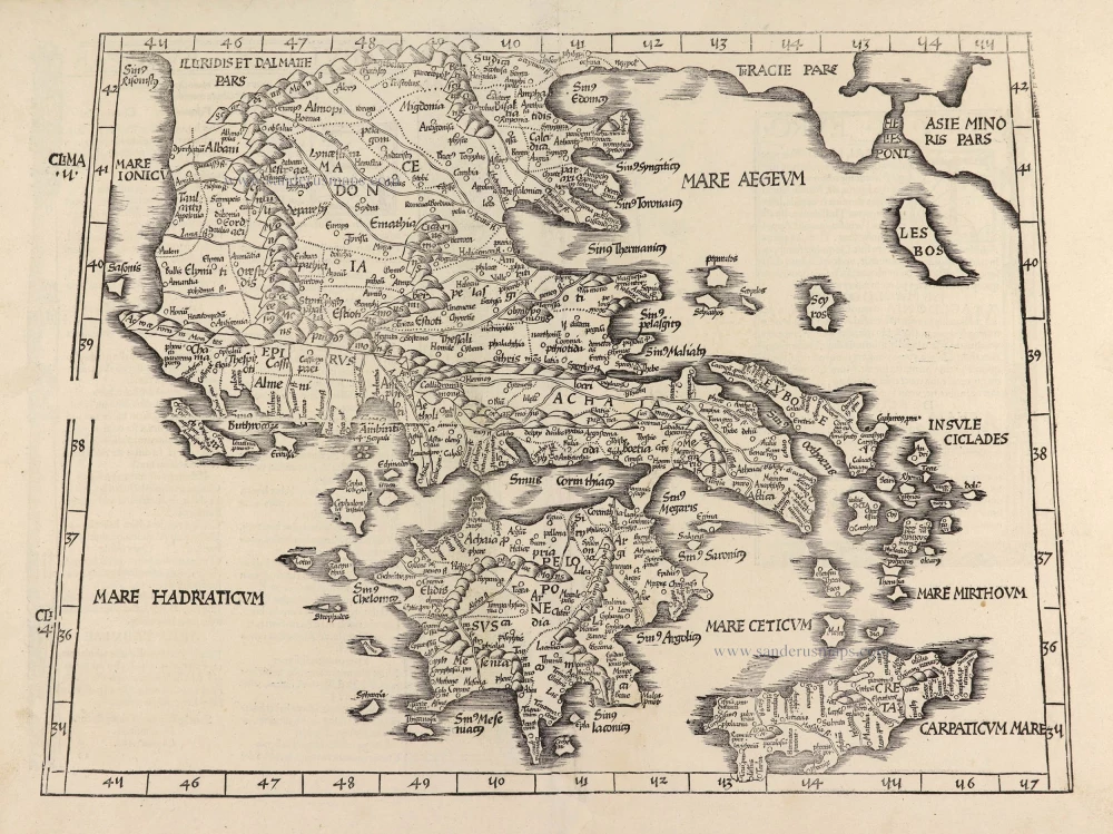
Tabula .X. Europae. [Title on verso] 1525
Ptolemy map of Greece by Lorenz Fries, after Martin Waldseemüller.
[Item number: 28196]
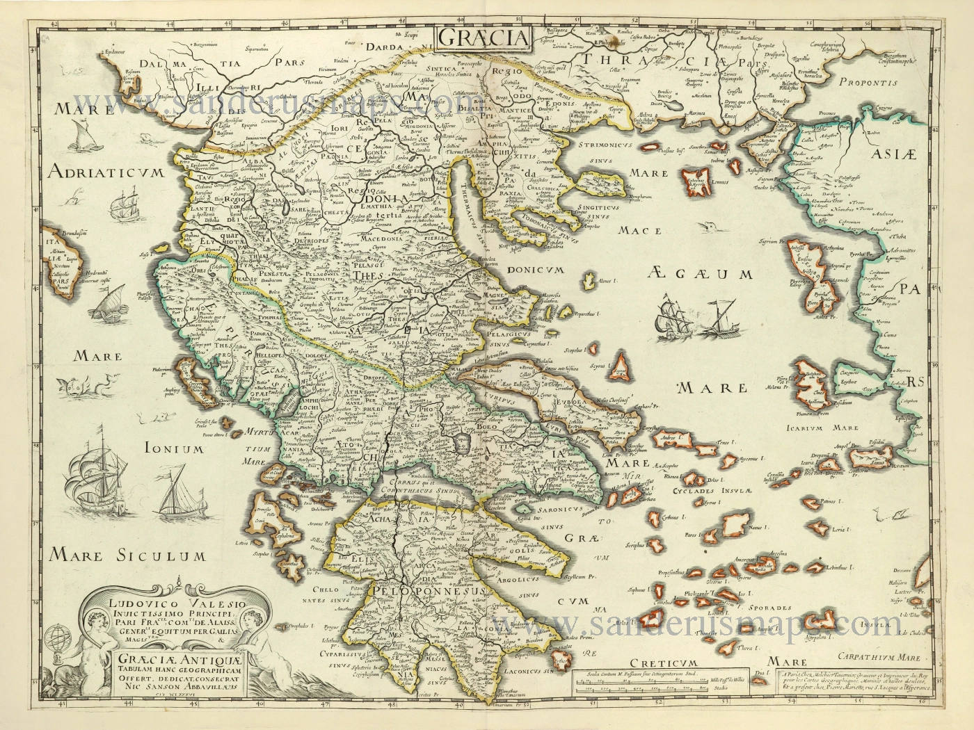
Graecia. 1658
Greece by Nicolas Sanson.
[Item number: 28498]
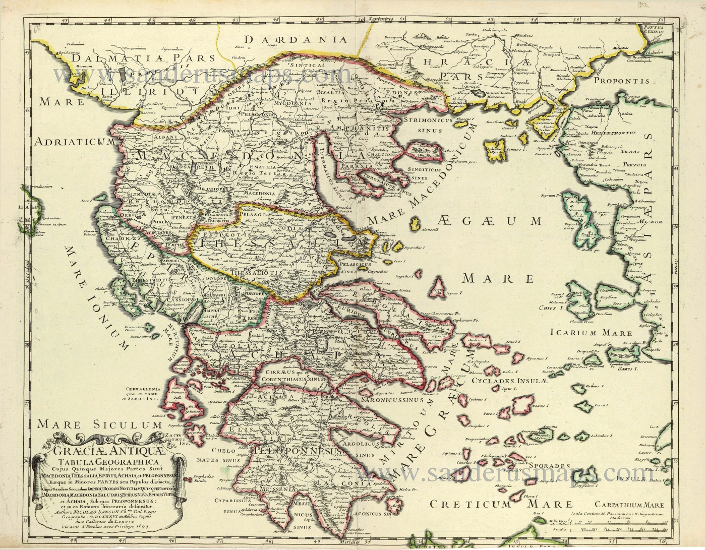
Graeciae Antique Tabula Geographica; 1699-1710
Greece by Nicolas & Guillaume Sanson.
[Item number: 28575]
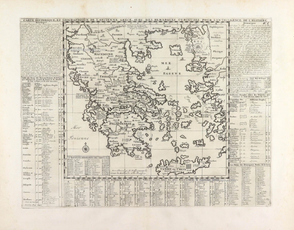
Carte Historique et Géographique de l'ancienne Grèce, avec les remarques Cursieuses pour l'intelligence de l'Histoire. 1713
Greece by Zacharias Châtelain.
[Item number: 29553]
Graecia - Graeciae Antiquae Tabulam. 1652
Ancient Greece by Nicolas Sanson.
[Item number: 29693]

Arcipelago - [Above map :] Descrittione dell'Arcipelago. 1590
Greece by Thomaso Porcacchi.
[Item number: 29769]