
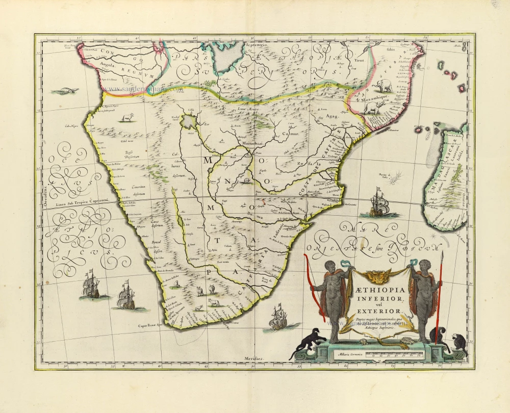
Johannes Janssonius, Southern Africa. 1641

The Janssonius Family
Joannes Janssonius (Arnhem, 1588-1664), son of the Arnhem publisher Jan Janssen, married Elisabeth Hondius, daughter of Jodocus Hondius, in Amsterdam in 1612. After his marriage, he settled down in this town as a bookseller and publisher of cartographic material. In 1618, he established himself in Amsterdam next door to Blaeu’s bookshop. He entered into serious competition with Willem Jansz. Blaeu when copying Blaeu’s Licht der Zeevaert after the expiration of the privilege in 1620. His activities concerned the publication of atlases, books, single maps, and an extensive book trade with branches in Frankfurt, Danzig, Stockholm, Copenhagen, Berlin, Koningsbergen, Geneva, and Lyon. In 1631, he began publishing atlases together with Henricus Hondius.
In the early 1640s, Henricus Hondius left the atlas publishing business to Janssonius. Competition with Joan Blaeu, Willem’s son and successor, in atlas production, prompted Janssonius to enlarge his Atlas Novus finally into a work of six volumes, into which a sea atlas and an atlas of the Old World were inserted. Other atlases published by Janssonius are Mercator’s Atlas Minor, Hornius’s historical atlas (1652), the townbooks in eight volumes (1657), Cellarius’s Atlas Coelestis and several sea atlases and pilot guides.
After the death of Joannes Janssonius, the shop and publishing firm were continued by the heirs under the direction of Johannes van Waesbergen (c. 1616-1681), son-in-law of Joannes Janssonius. Van Waesbergen added Janssonius's name to his own.
In 1676, Joannes Janssonius’s heirs sold by auction “all the remaining Atlases in Latin, French, High and Low German, as well as the Stedeboecken in Latin, in 8 volumes, bound and unbound, maps, plates belonging to the Atlas and Stedeboecken.” The copperplates from Janssonius’s atlases were afterwards sold to Schenk and Valck.
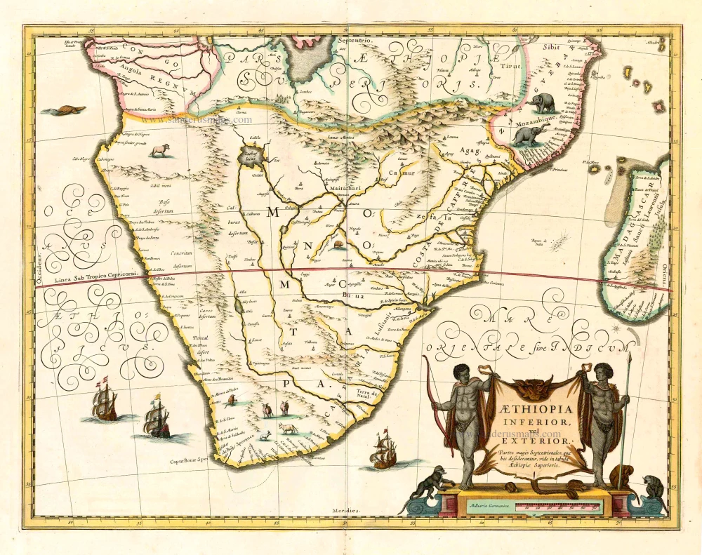
Aethiopia Inferior, vel Exterior.
Item Number: 26450 Authenticity Guarantee
Category: Antique maps > Africa
Old, antique map of Southern Africa, by J. Janssonius
Date of the first edition: 1636
Date of this map: 1641
Copper engraving, printed on paper.
Size (not including margins): 38.5 x 51cm (15 x 19.9 inches)
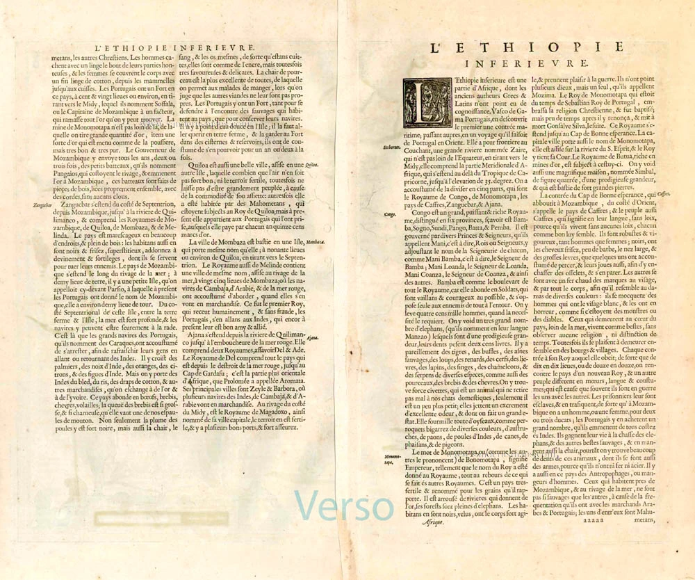
Verso text: French
Condition: Old coloured.
Condition Rating: A+
References: Van der Krogt 1, 8800:1.
From: Nouveau Theatre du Monde ou Nouvel Atlas comprenant Les Tables et Descriptions de toutes les Regions de la Terre. Amsterdam, H. Hondius, 1641. (Van der Krogt 1, 412)
The Janssonius Family
Joannes Janssonius (Arnhem, 1588-1664), son of the Arnhem publisher Jan Janssen, married Elisabeth Hondius, daughter of Jodocus Hondius, in Amsterdam in 1612. After his marriage, he settled down in this town as a bookseller and publisher of cartographic material. In 1618, he established himself in Amsterdam next door to Blaeu’s bookshop. He entered into serious competition with Willem Jansz. Blaeu when copying Blaeu’s Licht der Zeevaert after the expiration of the privilege in 1620. His activities concerned the publication of atlases, books, single maps, and an extensive book trade with branches in Frankfurt, Danzig, Stockholm, Copenhagen, Berlin, Koningsbergen, Geneva, and Lyon. In 1631, he began publishing atlases together with Henricus Hondius.
In the early 1640s, Henricus Hondius left the atlas publishing business to Janssonius. Competition with Joan Blaeu, Willem’s son and successor, in atlas production, prompted Janssonius to enlarge his Atlas Novus finally into a work of six volumes, into which a sea atlas and an atlas of the Old World were inserted. Other atlases published by Janssonius are Mercator’s Atlas Minor, Hornius’s historical atlas (1652), the townbooks in eight volumes (1657), Cellarius’s Atlas Coelestis and several sea atlases and pilot guides.
After the death of Joannes Janssonius, the shop and publishing firm were continued by the heirs under the direction of Johannes van Waesbergen (c. 1616-1681), son-in-law of Joannes Janssonius. Van Waesbergen added Janssonius's name to his own.
In 1676, Joannes Janssonius’s heirs sold by auction “all the remaining Atlases in Latin, French, High and Low German, as well as the Stedeboecken in Latin, in 8 volumes, bound and unbound, maps, plates belonging to the Atlas and Stedeboecken.” The copperplates from Janssonius’s atlases were afterwards sold to Schenk and Valck.
Related items
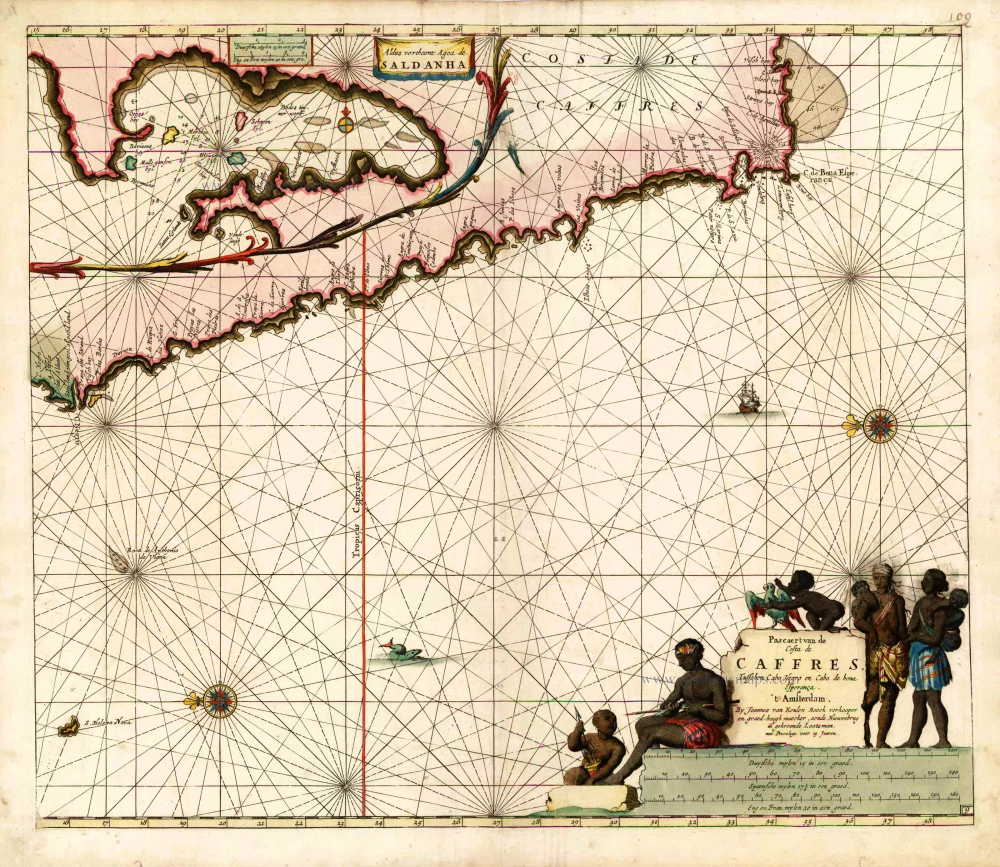
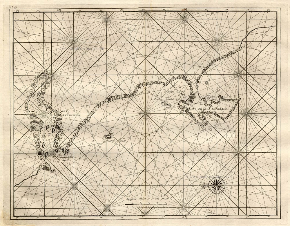
Pascaert van de Costa de Caffres, tusschen Cabo Negro en Cabo de Bona Esperanca. 1683
South Africa, by Johannes Van Keulen.
[Item number: 10082]
No title 1724-26
The South African Coast, by François Valentyn (Valentijn).
[Item number: 17825]

Aethiopia Inferior vel Exterior Monomotapa. 1638
Southern Africa, by M. Merian.
[Item number: 25907]
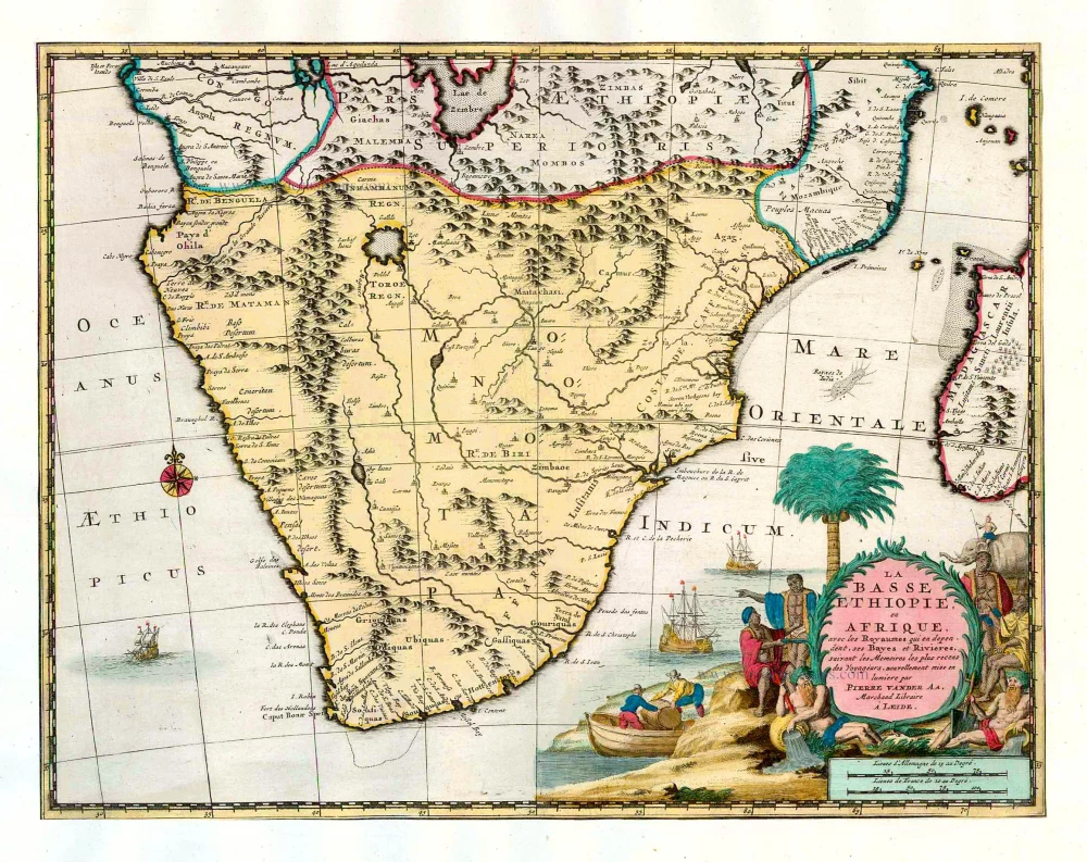
La Basse Ethiopie, en Afrique, avec les Royaumes qui en dependent, ses Bayes et Rivieres. 1713
Southern Africa, by Pieter van der Aa.
[Item number: 26158]
Aethiopia Inferior, vel Exterior. 1641
Johannes Janssonius, Southern Africa.
[Item number: 26450]
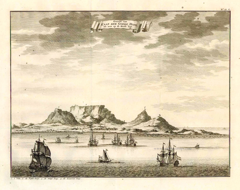
Gezicht van Kaap der Goede Hope, als men op de Reede legt. 1724-26
Cape of Good Hope by François Valentyn (Valentijn)
[Item number: 26879]
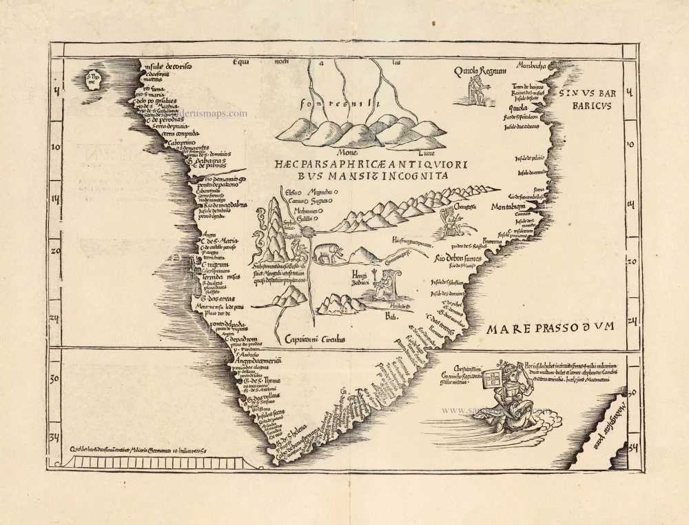
Fries' edition of the first map of Southern Africa.
[No title] 1525
Southern Africa, by Lorenz Fries.
[Item number: 27941]
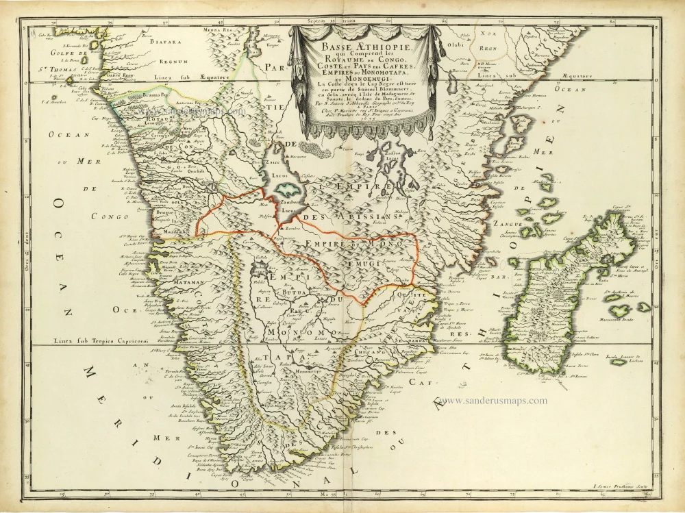
Basse AEthiopie, qui comprend les Royaume de Congo, Coste et Pays des Cafres, Empires du Monomotapa, et Monoemugi. 1658
Southern Africa and Madagascar by Nicolas Sanson.
[Item number: 28436]
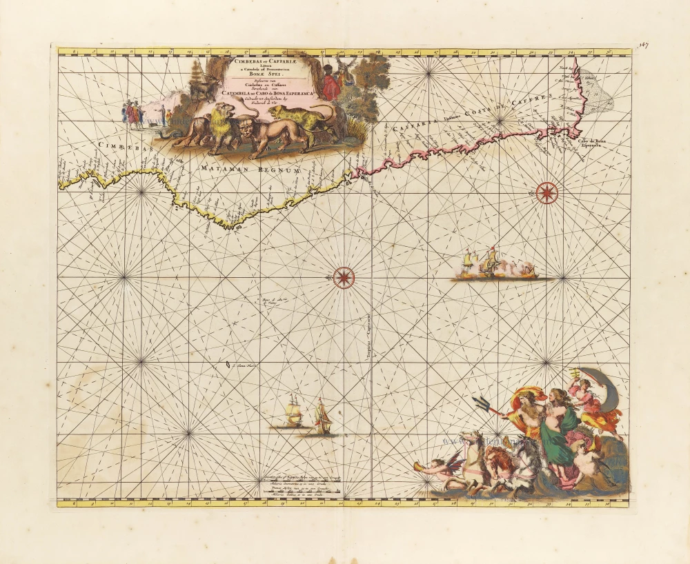
Cimbebas et Caffariae Littora a Catenbela ad Promontorium Bonae Spei. = Pascaerte van Cimbebas en Caffares Streckende van Catembela tot Cabo de Bona Esperanca. c. 1689-90
Southern Atlantic Coast of Africa, by Frederick de Wit.
[Item number: 29257]
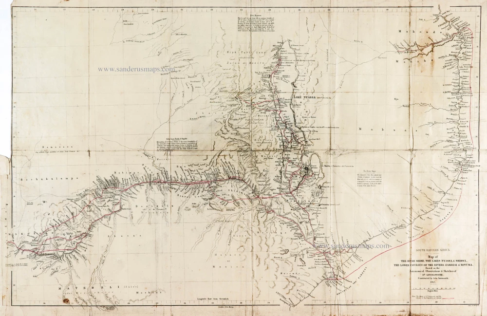
Map of the River Shire, The Lakes Nyassa, & Shirwa, The Lower Courses of the Rivers Zambesi & Rovuma.
South Eastern Africa by Dr D. Livingstone.
[Item number: 29939]
Aethiopia Inferior, Vel Exterior. 1643
Willem Blaeu, Southern Africa.
[Item number: 30122]