
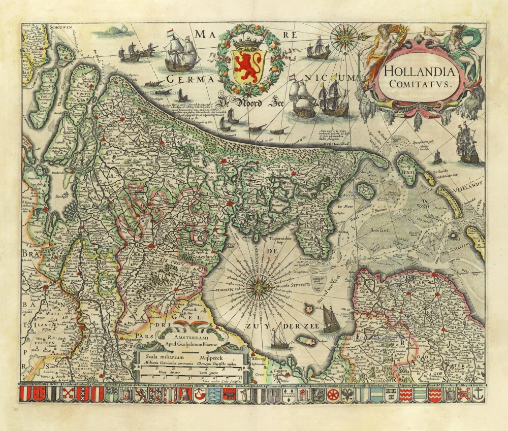
Strong impression. Important map.
Holland by C.J. Visscher. 1633
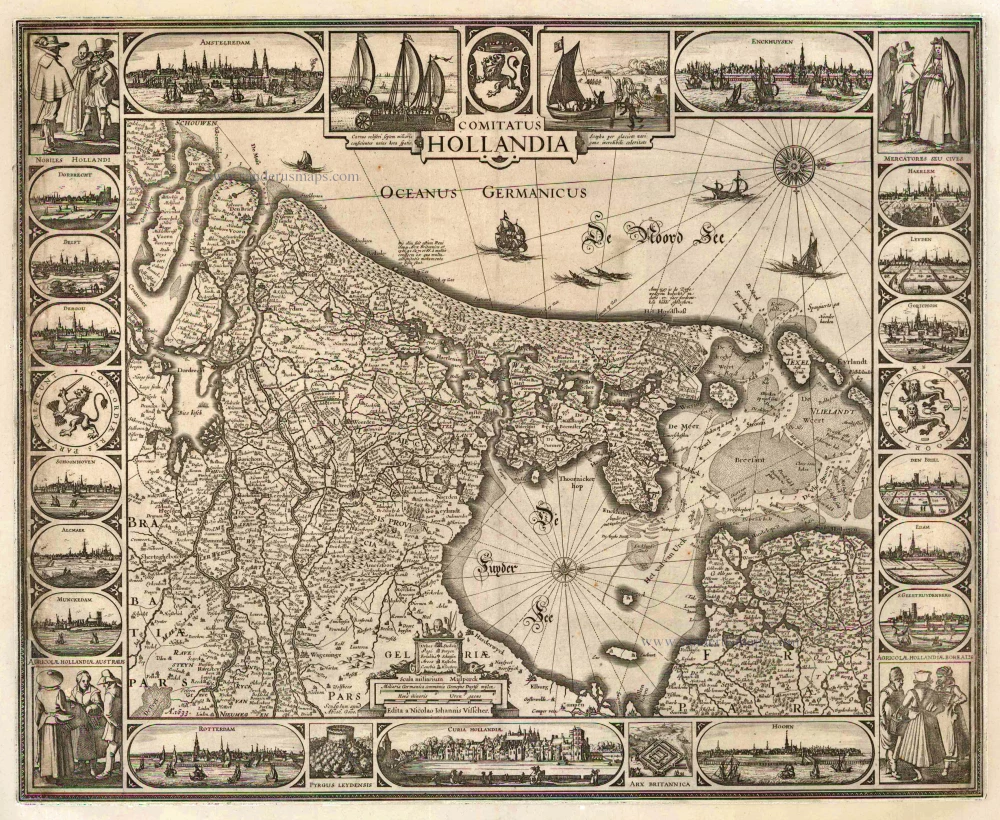
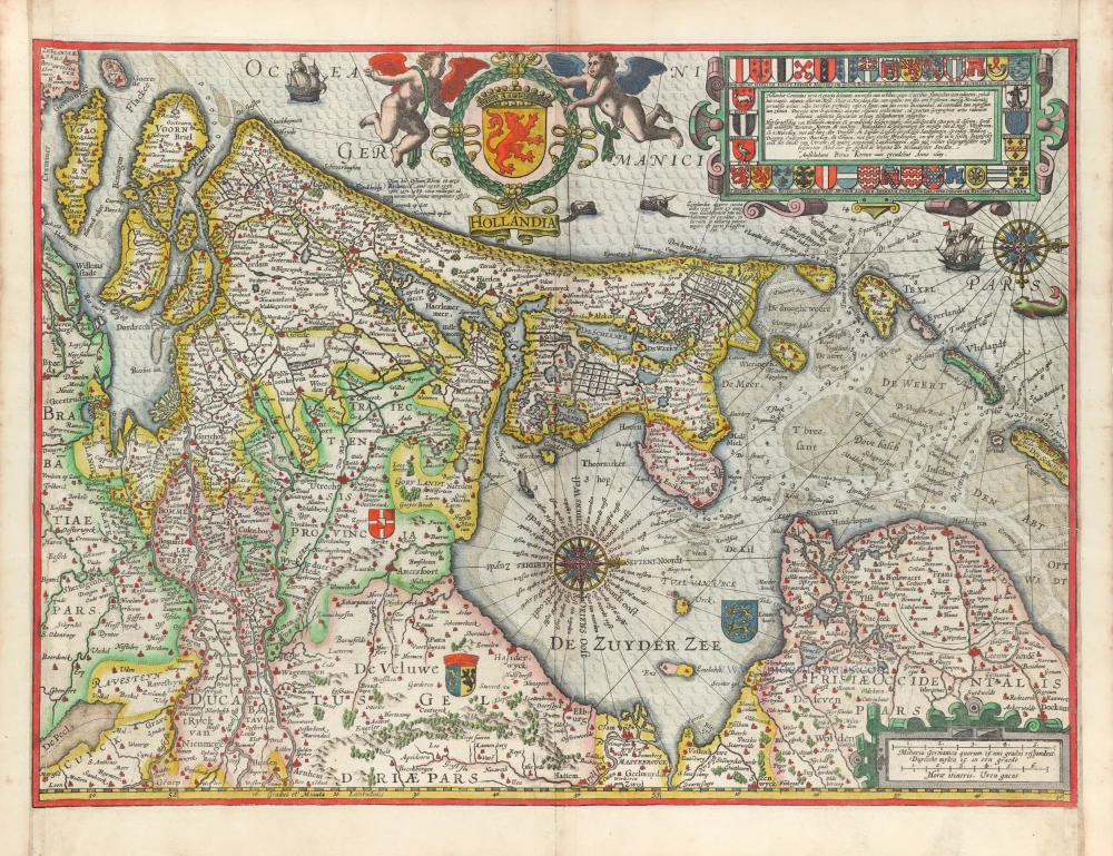
The title appears in the centre of the top border below the coat of arms of the County of Holland. To the left of the bottom centre is a cartouche decorated with a fisherman and containing the legend of symbols, the scale and the imprint. The map engraver Abraham Goos is mentioned to the left of this cartouche. West is at the top; a compass rose is shown in the North Sea and the Zuiderzee.
The map is framed on all sides by decorative borders. The top border shows two town views, Amsterdam and Enkhuizen, and scenes with wind-powered wagons on the beach and an ice sledge. The bottom border delineates the town views of Rotterdam and Hoorn and archaeological sites. Finally, the side borders show costumed figures, town views and coats of arms.
For the border decoration, the etcher copied well-known motifs from older maps. The drawings of the wind-powered wagons and ice sledge are based on those on Visscher's 1622 Leo Hollandicus; the female figure at the far right in the scene at the upper right, and the two female figures at the lower right, are based on similar figures at the upper right of the same map. Prints by Jan van de Velde served as the models for other figures in the corner scenes. Seven town views (Dordrecht, Delft, Gouda, Alkmaar, Haarlem, Leiden and Den Briel) were copied from those by Claes Jansz Visscher on Willem Jansz's 1608 map.
The geographical content of this Visscher map still derives from Van Deventer's mapping, even though the new wall map by Balthasar Florisz van Berckenrode, with entirely new geographical content, had already been published in 1621. The engraver of the Visscher map generally copied the 1608 Willem Jansz map but made some minor alterations in the northern part of Holland.
Abraham Goos engraved the map; the decorative borders were etched in Visscher's workshop. The map is mentioned as Hollandia Comitatus in Nicolaas Visscher's c. 1682 stock list in the section Landtkaarten van 1 Bladt, met Cieraden. This is one of five copies of the second state listed by Schilder.
The Visscher Family
For nearly a century, the members of the Visscher family were essential art dealers and map publishers in Amsterdam.
Claes Jansz. Visscher, or N.J. Piscator (1587-1652)
Claes Jansz. Vischer bought a house in Amsterdam, 'de gulden Bors', on the crucial Kalverstraat and changed the name into "In de Visscher"; under this title, the shop was to flourish for many years.
He was famous for his engravings and etchings of Dutch landscapes and 'historical scenes', such as sieges, battles, etc. These 'historical scenes' were considered contemporary illustrated news items, especially e.g. that of 'the Eighty Years' War'.
For the publication of his first atlas, he bought copperplates of the atlas Germania Inferior by Pieter van den Keere (1623).
In 1649, he published an atlas entitled Tabularum Geographicarum Contractarum, containing the same maps as Langenes' Caert Thresoor, for which Visscher had only new title pages engraved.
Claes Jansz. Visscher died in 1652. His wife, Neeltjen Florisdr., had already died in 1640. They had seven children, four of whom were still alive at Claes Jansz.'s death. One was Nicolaes Visscher I, who was to continue his father's business.
Nicolaes Visscher I (1618-1679)
Nicolaes Visscher I partnered with his father, continued the business, and stayed on the Kalverstraat 'in de Visscher' till his death.
In about 1657, the first edition of his Atlas Contractus Orbis Terrarum appeared.
Between 1664 and 1677, several editions of his Atlas Contractus appeared without a printed index, for these atlases had no fixed contents but were composed according to the buyer's financial leaping pole.
In May 1664, Nicolaes Visscher was admitted as a member of the Booksellers' Guild of his town. In July 1677, he was granted a patent of the States of Holland and West-Friesland for printing and publishing maps and atlases for 15 years.
After this, he again published an Atlas Contractus with a printed index. At about the same time, he also brought out an Atlas Minor.
Nicolaes Visscher II (1649-1702)
Nicolaes Visscher II inherited the 'shop' from his father. To obtain a new privilege, he applied to the States of Holland and West-Friesland in 1682 for a patent for printing and publishing maps. This patent was granted to him the same year. He moved the firm to the Dam, but it kept the same signboard: "In de Visscher".
Around 1683, he published his first Atlas Minor with a printed index of 91 maps. In 1684, an atlas Germania Inferior appeared. Till 1697, he published another number of atlases. He used his grandfather's (Claes Jansz.) maps less often now and relied more and more on his own.
The wars waged at this time initiated the compilation of maps of the countries where the armies operated. Many war maps were included in the various editions of his Atlas Minor.
After Nicolaes's death, his wife, Elizabeth Verseyl, published all the war maps as an atlas under the title De Stoel des Oorlogs in de Wereld (The seat of war in the world).
The widow of Nicolaes Visscher II (?-1726)
His widow continued the business energetically, and by her hand, under the name of her deceased husband, numerous atlases appeared, e.g., several editions of the Atlas Minor, an Atlas Maior and De Stoel des Oorlogs. The shop enjoyed a high reputation due to the assortment's incredible variety. Not only 'Visscher' maps but also maps of other publishers were obtainable. With the death of Elizabeth Verseyl in 1726, the last descendant died of a great map- and atlas-publishing firm in Amsterdam.
Comitatus Hollandia
Item Number: 2748 Authenticity Guarantee
Category: Antique maps > Europe > The Netherlands
Old, antique map of Holland by C.J. Visscher.
Title: Comitatus Hollandia.
Oriented to the west.
Date of the first edition: 1630.
Date of this map: 1633.
Copper engraving, printed on paper.
Size (not including margins): 470 x 580mm (18.5 x 22.83 inches).
Verso: Blank.
Condition: Remargined with repair of some imperfections at the edges.
Condition Rating: B
Separate publication. - From a composite atlas called "Atlas Iprensis".
The title appears in the centre of the top border below the coat of arms of the County of Holland. To the left of the bottom centre is a cartouche decorated with a fisherman and containing the legend of symbols, the scale and the imprint. The map engraver Abraham Goos is mentioned to the left of this cartouche. West is at the top; a compass rose is shown in the North Sea and the Zuiderzee.
The map is framed on all sides by decorative borders. The top border shows two town views, Amsterdam and Enkhuizen, and scenes with wind-powered wagons on the beach and an ice sledge. The bottom border delineates the town views of Rotterdam and Hoorn and archaeological sites. Finally, the side borders show costumed figures, town views and coats of arms.
For the border decoration, the etcher copied well-known motifs from older maps. The drawings of the wind-powered wagons and ice sledge are based on those on Visscher's 1622 Leo Hollandicus; the female figure at the far right in the scene at the upper right, and the two female figures at the lower right, are based on similar figures at the upper right of the same map. Prints by Jan van de Velde served as the models for other figures in the corner scenes. Seven town views (Dordrecht, Delft, Gouda, Alkmaar, Haarlem, Leiden and Den Briel) were copied from those by Claes Jansz Visscher on Willem Jansz's 1608 map.
The geographical content of this Visscher map still derives from Van Deventer's mapping, even though the new wall map by Balthasar Florisz van Berckenrode, with entirely new geographical content, had already been published in 1621. The engraver of the Visscher map generally copied the 1608 Willem Jansz map but made some minor alterations in the northern part of Holland.
Abraham Goos engraved the map; the decorative borders were etched in Visscher's workshop. The map is mentioned as Hollandia Comitatus in Nicolaas Visscher's c. 1682 stock list in the section Landtkaarten van 1 Bladt, met Cieraden. This is one of five copies of the second state listed by Schilder.
The Visscher Family
For nearly a century, the members of the Visscher family were essential art dealers and map publishers in Amsterdam.
Claes Jansz. Visscher, or N.J. Piscator (1587-1652)
Claes Jansz. Vischer bought a house in Amsterdam, 'de gulden Bors', on the crucial Kalverstraat and changed the name into "In de Visscher"; under this title, the shop was to flourish for many years.
He was famous for his engravings and etchings of Dutch landscapes and 'historical scenes', such as sieges, battles, etc. These 'historical scenes' were considered contemporary illustrated news items, especially e.g. that of 'the Eighty Years' War'.
For the publication of his first atlas, he bought copperplates of the atlas Germania Inferior by Pieter van den Keere (1623).
In 1649, he published an atlas entitled Tabularum Geographicarum Contractarum, containing the same maps as Langenes' Caert Thresoor, for which Visscher had only new title pages engraved.
Claes Jansz. Visscher died in 1652. His wife, Neeltjen Florisdr., had already died in 1640. They had seven children, four of whom were still alive at Claes Jansz.'s death. One was Nicolaes Visscher I, who was to continue his father's business.
Nicolaes Visscher I (1618-1679)
Nicolaes Visscher I partnered with his father, continued the business, and stayed on the Kalverstraat 'in de Visscher' till his death.
In about 1657, the first edition of his Atlas Contractus Orbis Terrarum appeared.
Between 1664 and 1677, several editions of his Atlas Contractus appeared without a printed index, for these atlases had no fixed contents but were composed according to the buyer's financial leaping pole.
In May 1664, Nicolaes Visscher was admitted as a member of the Booksellers' Guild of his town. In July 1677, he was granted a patent of the States of Holland and West-Friesland for printing and publishing maps and atlases for 15 years.
After this, he again published an Atlas Contractus with a printed index. At about the same time, he also brought out an Atlas Minor.
Nicolaes Visscher II (1649-1702)
Nicolaes Visscher II inherited the 'shop' from his father. To obtain a new privilege, he applied to the States of Holland and West-Friesland in 1682 for a patent for printing and publishing maps. This patent was granted to him the same year. He moved the firm to the Dam, but it kept the same signboard: "In de Visscher".
Around 1683, he published his first Atlas Minor with a printed index of 91 maps. In 1684, an atlas Germania Inferior appeared. Till 1697, he published another number of atlases. He used his grandfather's (Claes Jansz.) maps less often now and relied more and more on his own.
The wars waged at this time initiated the compilation of maps of the countries where the armies operated. Many war maps were included in the various editions of his Atlas Minor.
After Nicolaes's death, his wife, Elizabeth Verseyl, published all the war maps as an atlas under the title De Stoel des Oorlogs in de Wereld (The seat of war in the world).
The widow of Nicolaes Visscher II (?-1726)
His widow continued the business energetically, and by her hand, under the name of her deceased husband, numerous atlases appeared, e.g., several editions of the Atlas Minor, an Atlas Maior and De Stoel des Oorlogs. The shop enjoyed a high reputation due to the assortment's incredible variety. Not only 'Visscher' maps but also maps of other publishers were obtainable. With the death of Elizabeth Verseyl in 1726, the last descendant died of a great map- and atlas-publishing firm in Amsterdam.
Related items
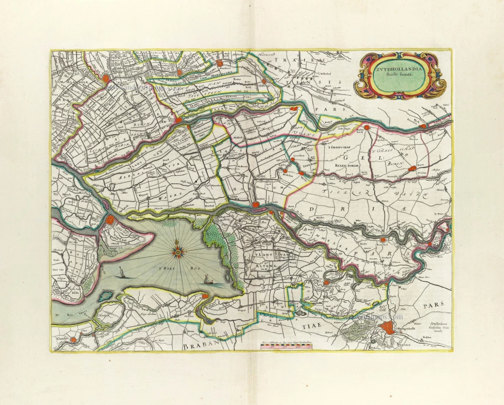
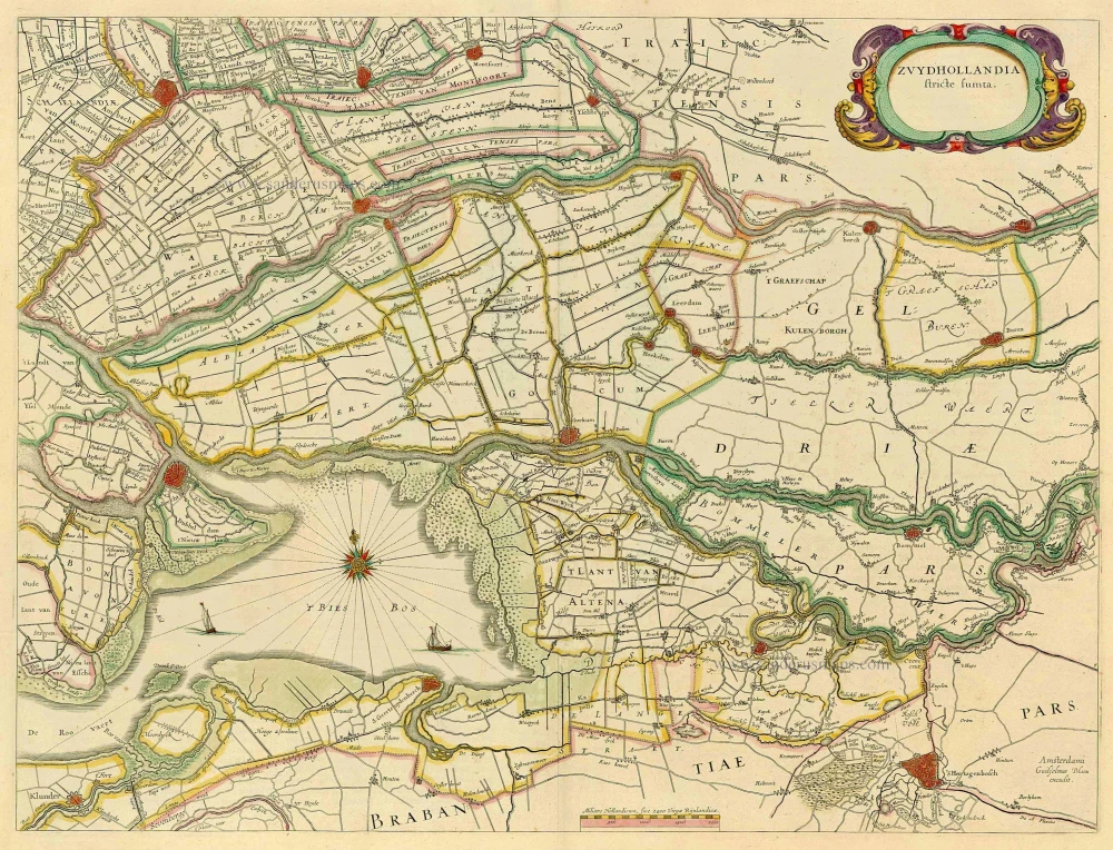
Zuydhollandia stricte sumta. 1662
Southern Holland by Willem Blaeu.
[Item number: 5358]

Rhenolandiae et Amstellandiae exactißima Tabula. 1662
Central Holland by Willem Blaeu.
[Item number: 5359]
Rare and important map!
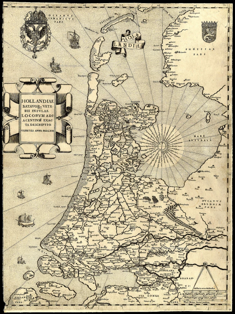
Hollandiae Batavor Veteris Insulae Locorum Adiacentium Exacta Descriptio. 1563
Holland, by Camocio G.F. - Forlani P.
[Item number: 9232]
Hollandiae pars Meridionalis, vulgo Zuyd-Holland 1683-1696
Holland (South), by N. Visscher.
[Item number: 10962]
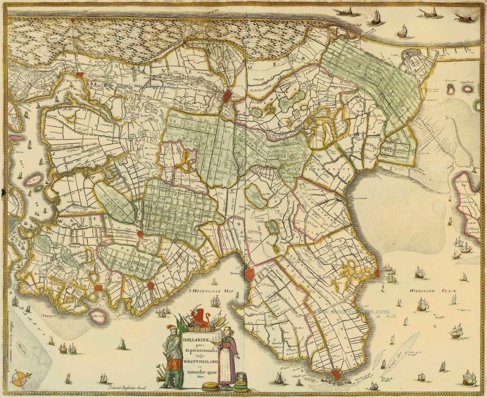
Hollandiae pars Septentrionalis, vulgo Westvriesland en 'tnoorder Quartier 1652-53
Holland (North) by Janssonius J. - Hondius H.
[Item number: 13205]
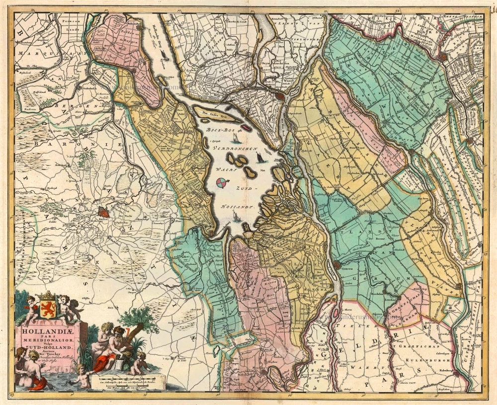
Zuydhollandia stricte sumta. 1643-50
Holland (South), by Willem & Joan Blaeu.
[Item number: 21071]
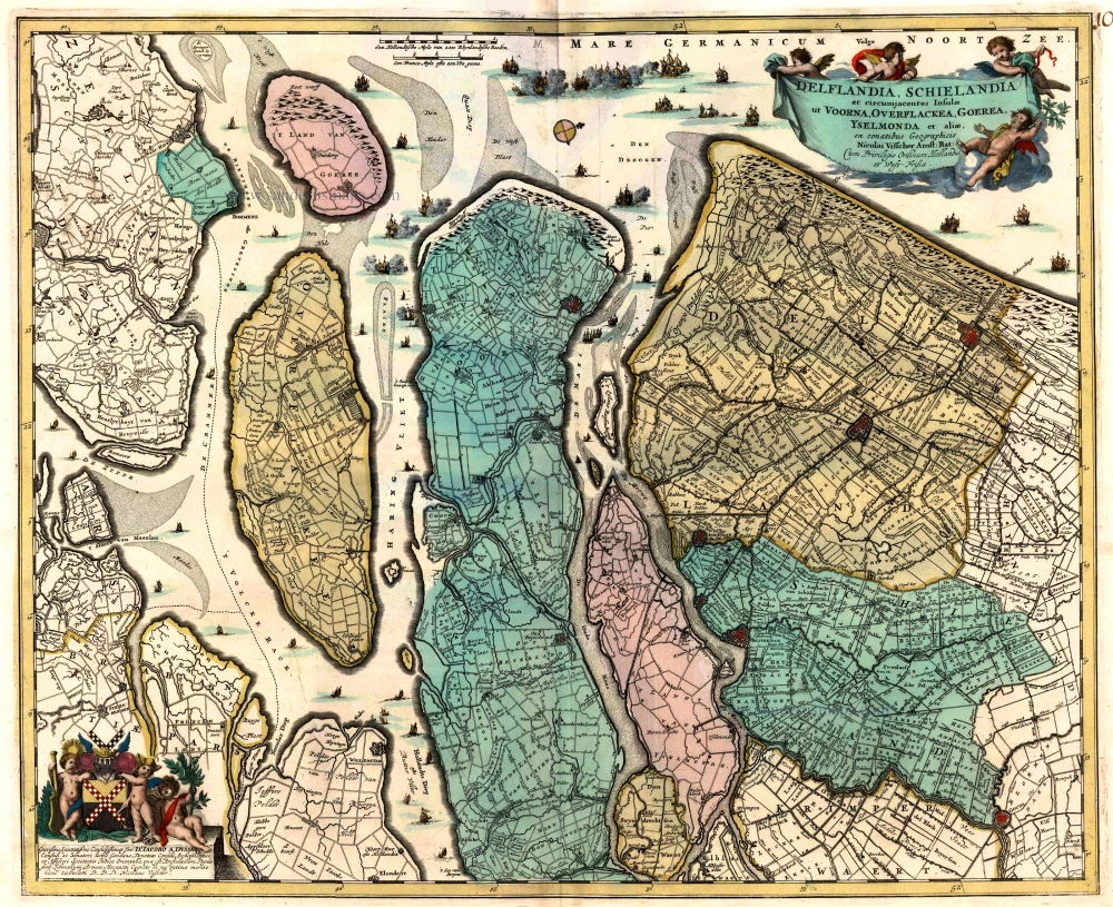
Delflandia, Schielandia et circumjacentes Insulae ... 1680-1710
Holland, by N. Visscher
[Item number: 24417]
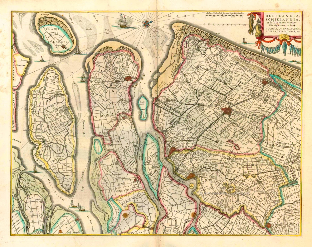
Delflandia, Schielandia et Insulae trans Mosam et Insulae trans Mosam illis objacentes ut sunt Voorna, Overflackea, Goerea, Yselmonda, etc. 1635
Holland (Southwest), by Willem Blaeu.
[Item number: 25352]
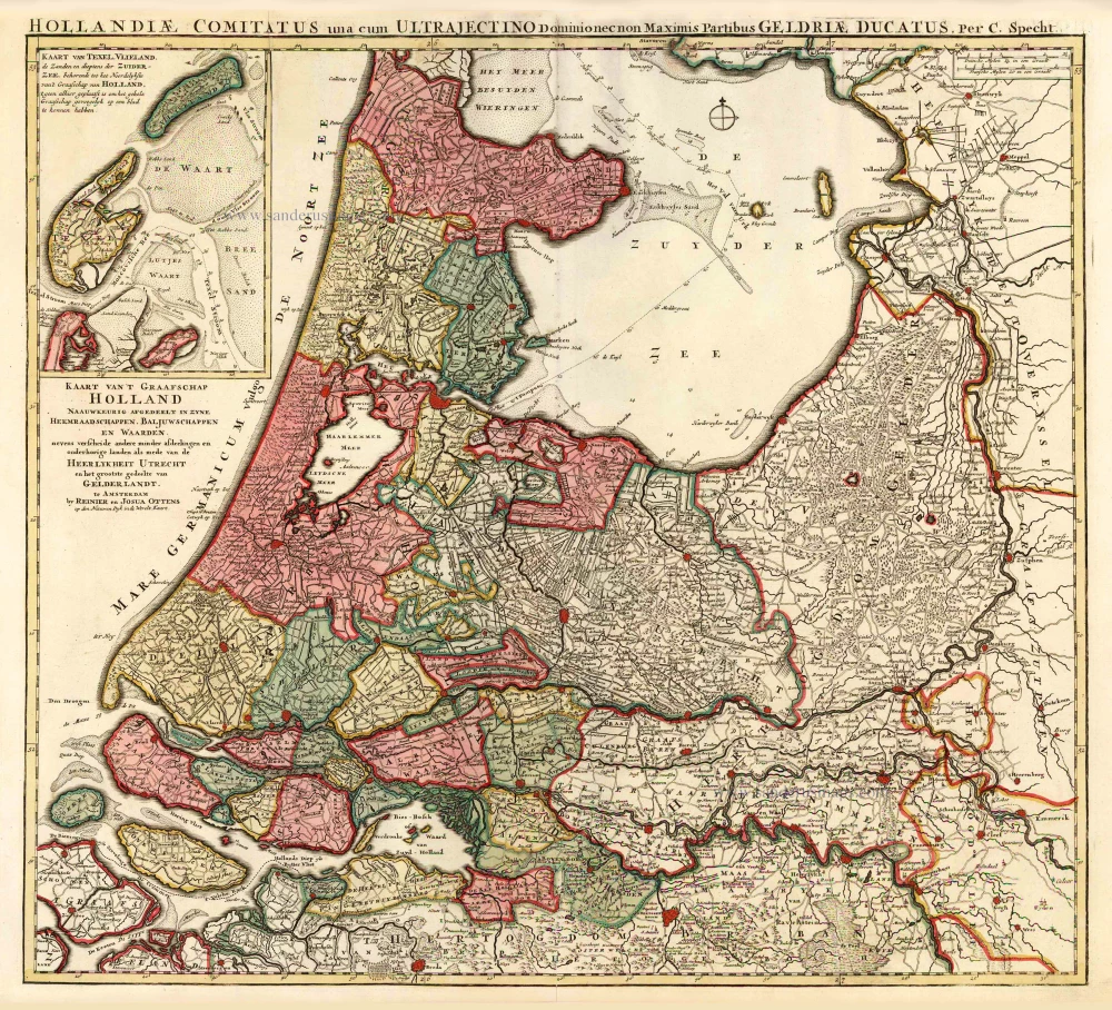
Kaart van 't Graafschap Holland Naauwkeurig Afgedeelt in zyne Heemraadschappen, Baljuwschappen en Waarden, 1730-45
Holland by C. Specht, published by R. & J. Ottens.
[Item number: 25706]
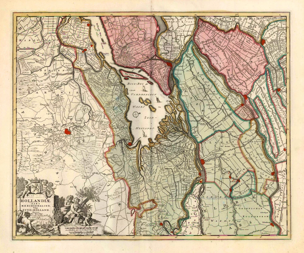
Hollandiae Pars Meridionalior, Vulgo Zuyd-Holland. c. 1740
Southern Holland by Nicolaas Visscher II, published by Petrus Schenk.
[Item number: 25721]
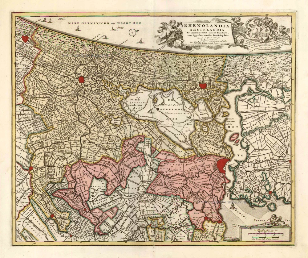
Rhenolandia, Amstelandia et Circumjacentia aliquot Territoria, cum Aggeribus omnibus, Terminiqz fuis. c. 1740
Central Holland by Nicolaas Visscher II, published by Petrus Schenk.
[Item number: 25722]
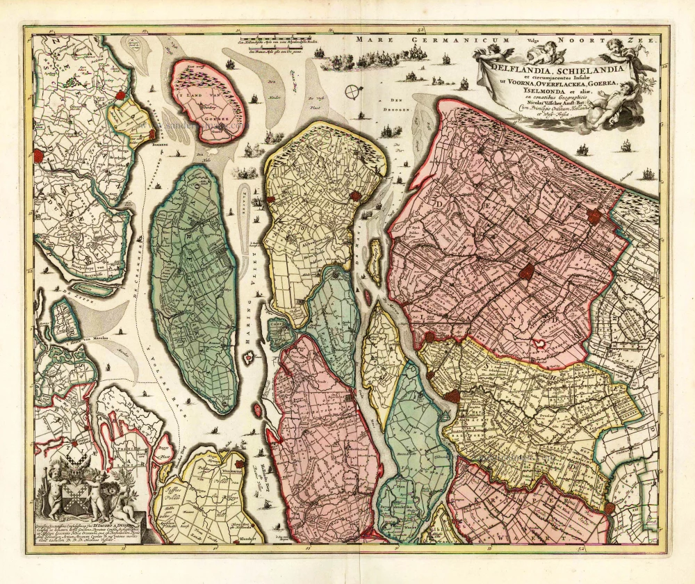
Delflandia, Schielandia et circumjacentes Insulae et circumjacentes Insulae ut Voorna, Overflackea, Goerea, Yselmonda et aliae, 1683-1696
Southwest Holland by Nicolaas Visscher II.
[Item number: 25729]
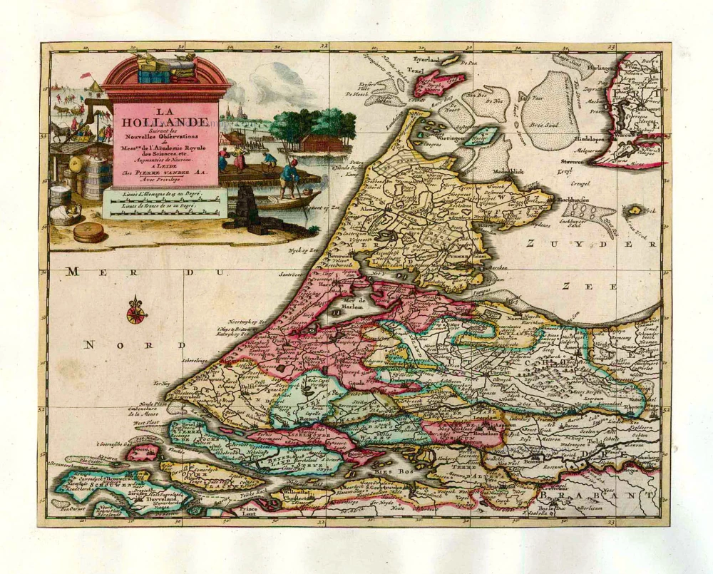
La Hollande. 1713
Holland by Pieter Van der Aa.
[Item number: 26059]
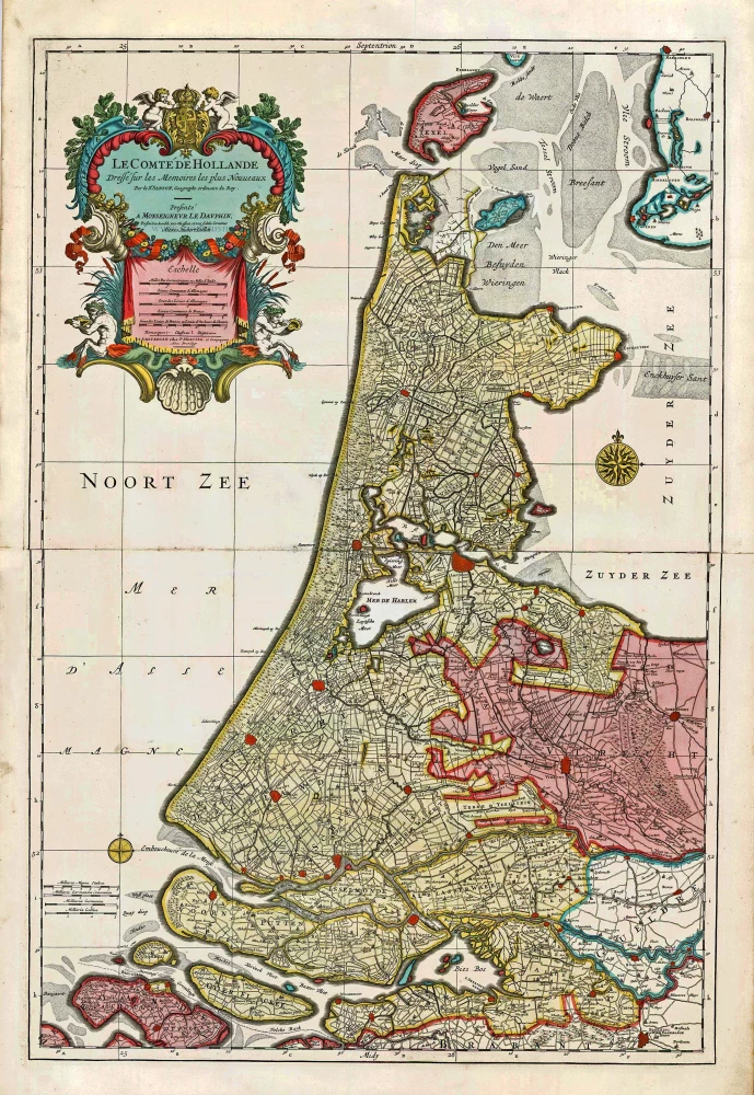
Big and spectacular map
Le Comté de Hollande. c. 1705
Holland, by Pieter Mortier.
[Item number: 27807]
Rare
Hollandia Comitatus. 1631
Holland by Willem Blaeu.
[Item number: 28471]
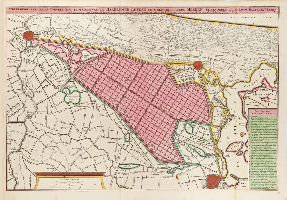
Scarce map
Afbeeldinge van zeker concept tot bedykinge van de Haarlemer, Leydse en andere byleggende Meeren. c. 1750
Polder map of Holland, by Nicolaas Visscher, published by Petrus Schenk Jr.
[Item number: 28918]
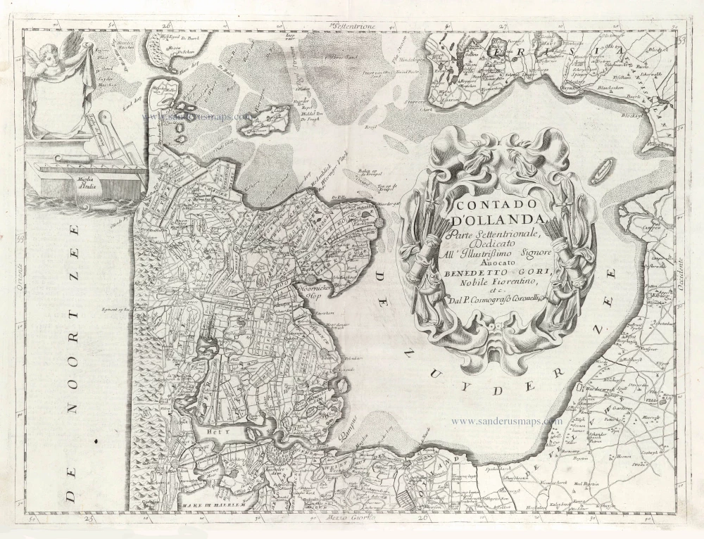
Contado d'Hollanda, Parte Settentrionale, 1696
Northern Holland, by Vincenzo Coronelli.
[Item number: 29433]
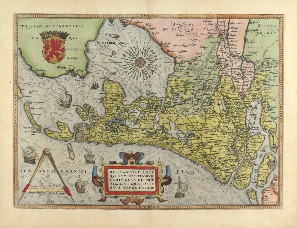
Hollandiae Antiquorum Catthorum Sedis Nova Descriptio. 1584
Holland, by Abraham Ortelius.
[Item number: 29547]
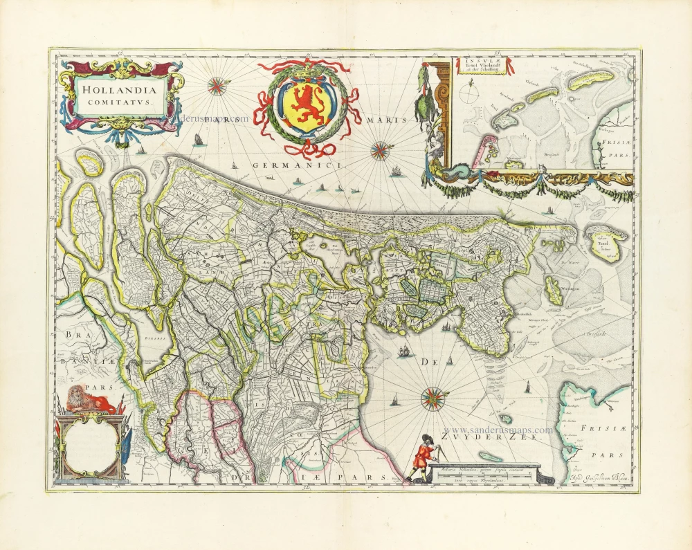
Hollandia Comitatus. 1643
Holland by Willem Blaeu
[Item number: 30182]
Hollandia. 1617
Holland by Petrus Kaerius (Pieter Van den Keere).
[Item number: 30257]