
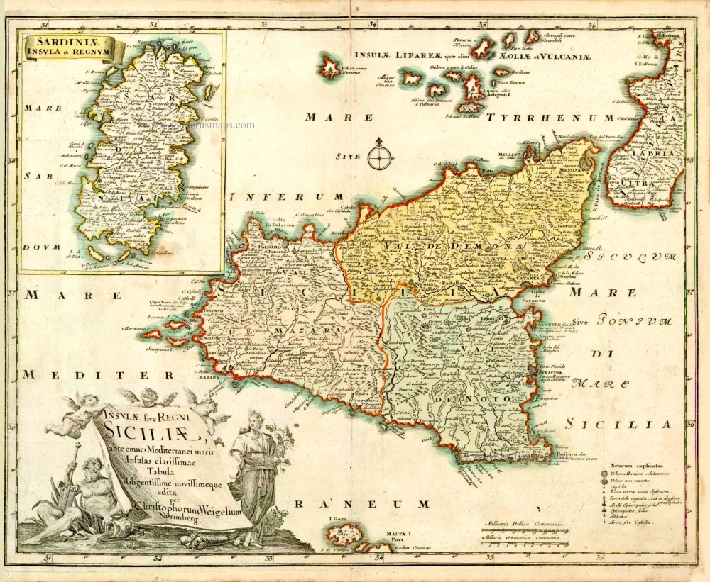
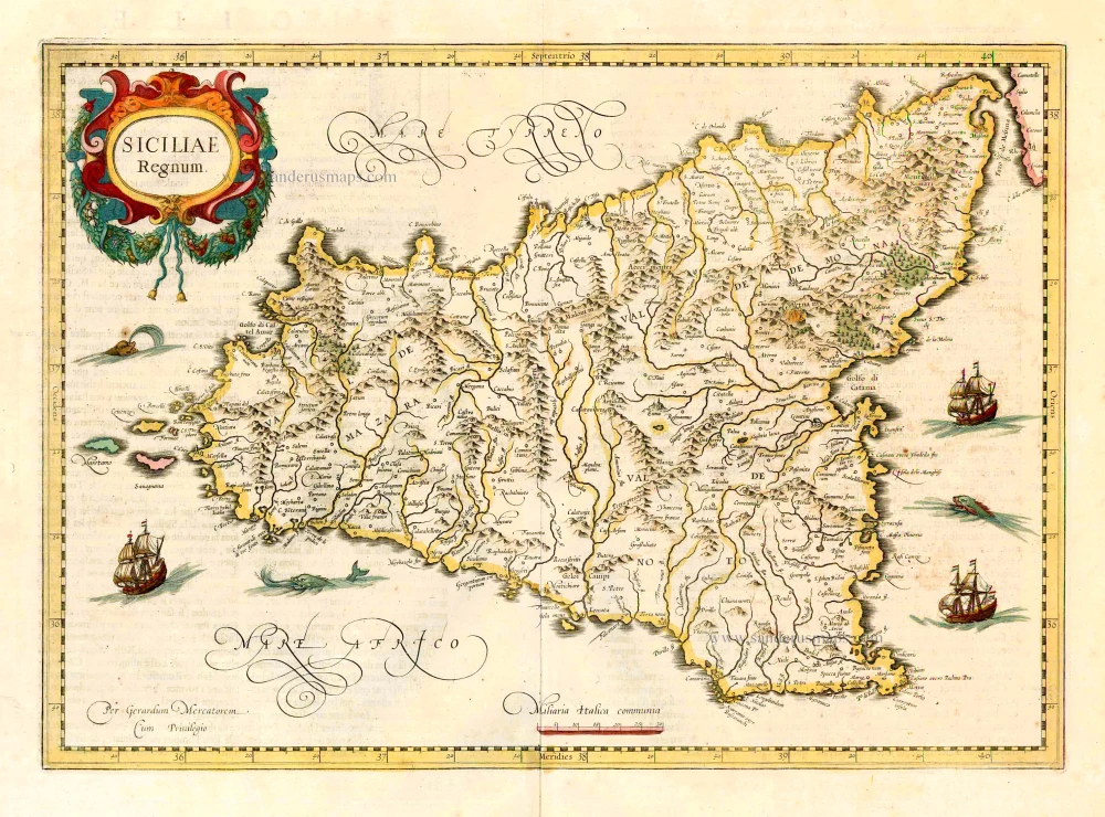
Sicily, by Christoph Weigel. 1718
Christoph Weigel the Elder (1654 -1725)
Christoph Weigel the Elder was a German engraver and publisher who learned the art of copperplate engraving in Augsburg. After various positions, including in Vienna and Frankfurt am Main, he acquired Nuremberg citizenship in 1698.
In Nuremberg, he worked very closely with the imperial geographer and cartographer Johann Baptist Homann to create his maps. He published 70 books and some series of engravings during his lifetime, including in 1718, the Atlas Scholasticus, followed in 1720 by Descriptio Orbis Antiquus; he also published a Reise Atlas in 1724 and an Atlas Manualis in the same year.
His younger brother Johann Christoph Weigel ran an art dealership in Nuremberg around the same time and was also very successful.
His widow continued Weigel's publishing house after 1725, who still published some of her deceased husband's works.
Insulae sive Regni Siciliae, ante omnes Mediterranei maris Insulas clarissimae.
Item Number: 27907 Authenticity Guarantee
Category: Antique maps > Europe > Italy
Old, antique map of Sicilia (Sicily) - Sardinia, by Christoph Weigel.
Title: Insulae sive Regni Siciliae, ante omnes Mediterranei maris Insulas clarissimae.
Tabula diligentissime novissimeque edita per Christophorum Weigelium Norimberg.
With inset: Sardiniae Insula & Regnum.
Cartographer: J.D. Kohler.
Engraver: Michael Kauffer.
Date of the first edition: 1718.
Date of this map: 1718.
Copper engraving, printed on paper.
Size (not including margins): 330 x 420mm (12.99 x 16.54 inches).
Verso: Blank.
Condition: Original coloured, excellent.
Condition Rating: A+.
References: Dufour-La Gumina, p. 184; Shirley (Brit.Lib), T.WEIG-1a (20)
From: Weigel Christoph. Atlas Scholasticus et Itinerarius. Nürnberg, J.E. Adelbulnern, 1718.
Second title: Johann David Köhlers ... Bequemer Schül-und Reisen-Atlas Aller Zu Erlernung der Alten, Mittlern und Neuen Geographie dienlichen Universal-und Particular-Charten ... ausgefertiger von Christoph Weigeln Kunsthändlern in Nürnberg ... Gedruckt bey Johann Ernst Adelbulnern. 1718.
Christoph Weigel the Elder (1654 -1725)
Christoph Weigel the Elder was a German engraver and publisher who learned the art of copperplate engraving in Augsburg. After various positions, including in Vienna and Frankfurt am Main, he acquired Nuremberg citizenship in 1698.
In Nuremberg, he worked very closely with the imperial geographer and cartographer Johann Baptist Homann to create his maps. He published 70 books and some series of engravings during his lifetime, including in 1718, the Atlas Scholasticus, followed in 1720 by Descriptio Orbis Antiquus; he also published a Reise Atlas in 1724 and an Atlas Manualis in the same year.
His younger brother Johann Christoph Weigel ran an art dealership in Nuremberg around the same time and was also very successful.
His widow continued Weigel's publishing house after 1725, who still published some of her deceased husband's works.
Related items
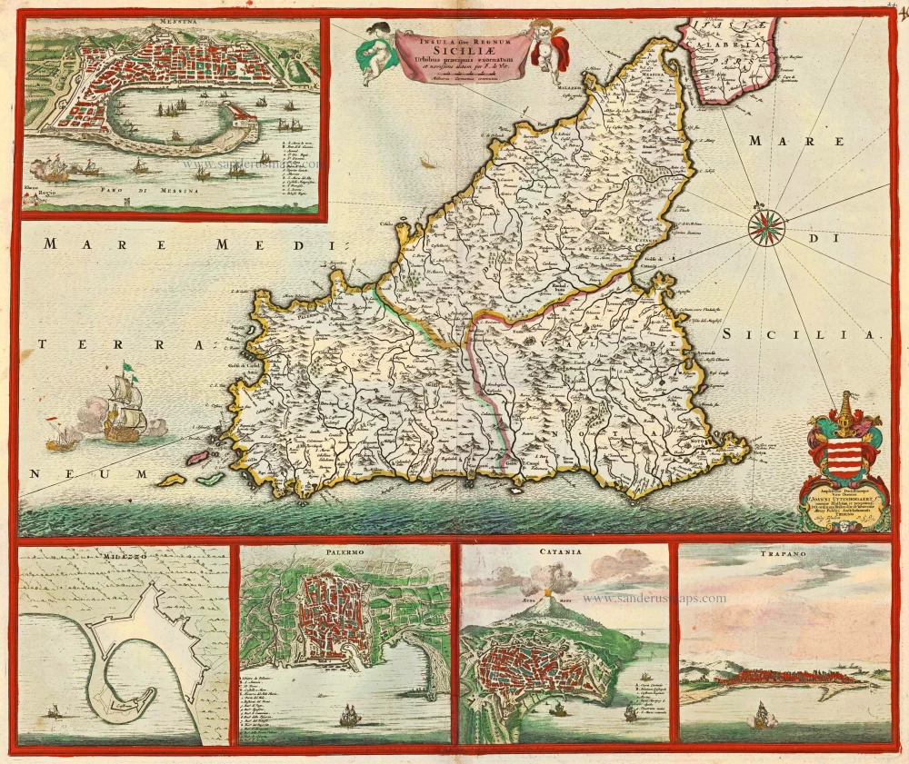
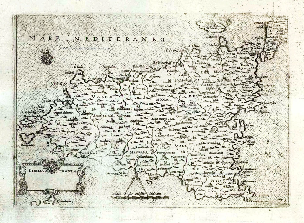
Insula sive Regnum Siciliae Urbibus praecipuis exornatum c. 1682
Sicily by Frederick de Wit.
[Item number: 24517]
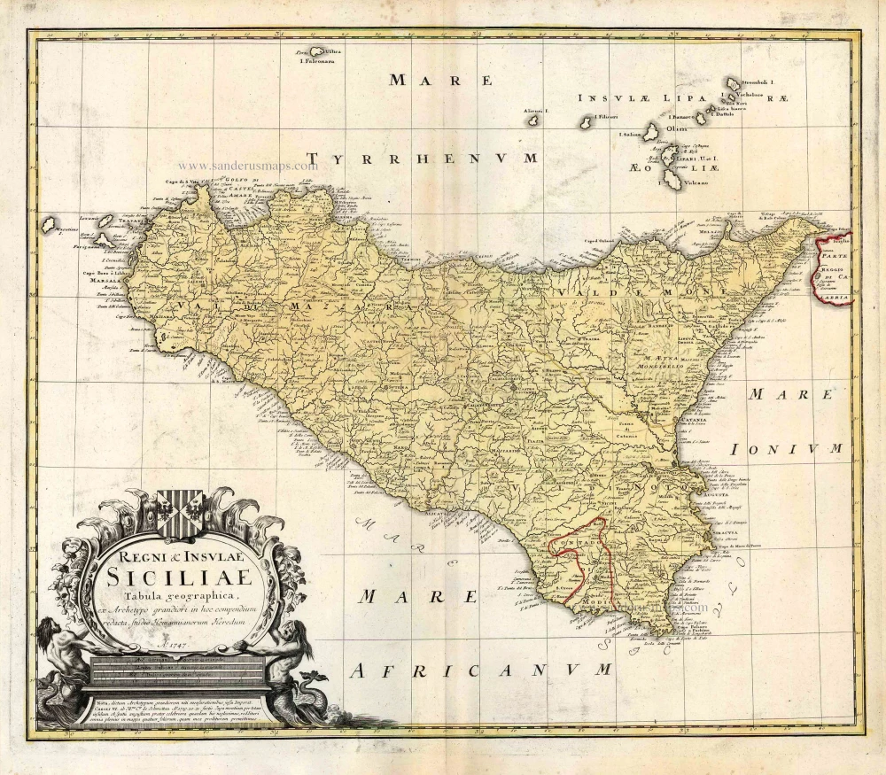
Regni & Insulae Siciliae Tabula Geographica ... c. 1720-65
Sicily, by Homann Heirs.
[Item number: 25478]
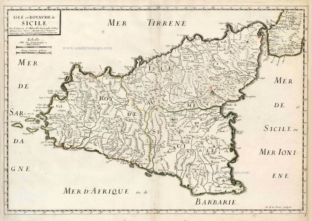
Isle et Royaume de Sicile. 1665
Sicily, by N. & G. Sanson.
[Item number: 25896]
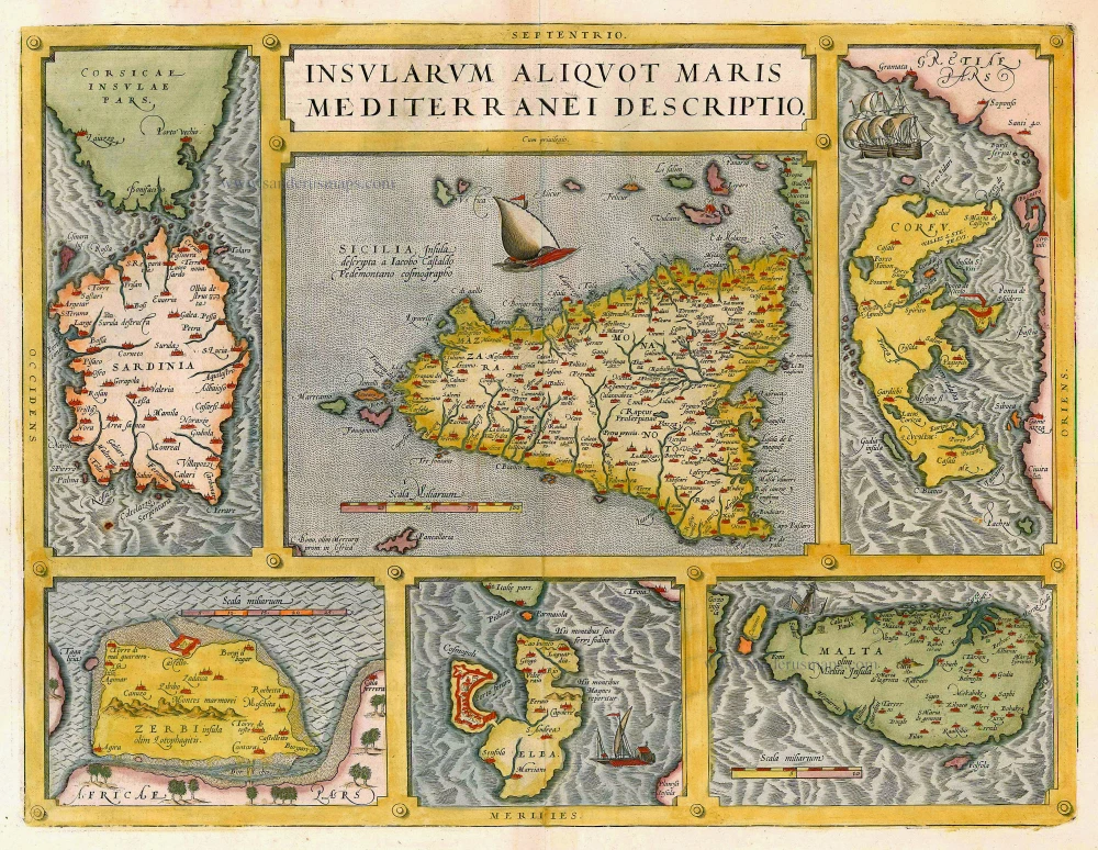
Insularum Aliquot Maris Mediterranei Descriptio. 1612
Sicily, Sardinia, Corfu, Djerba, Elba, Malta by Abraham Ortelius
[Item number: 20929]
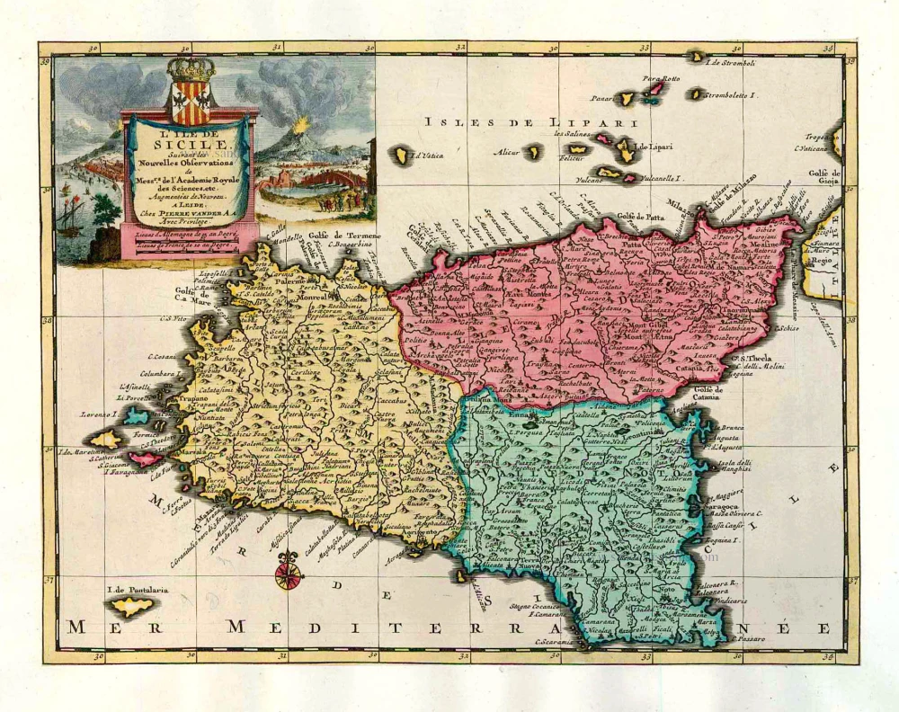
L'Ile de Sicile. 1713
Sicily, by Pieter Van der Aa.
[Item number: 26077]

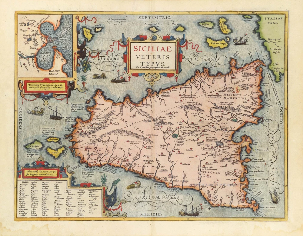
Siciliae Veteris Typus. 1641
Ancient Sicily, by Johannes Janssonius.
[Item number: 26426]
Siciliae Regnum. 1641
Sicily, by Henricus Hondius.
[Item number: 26427]
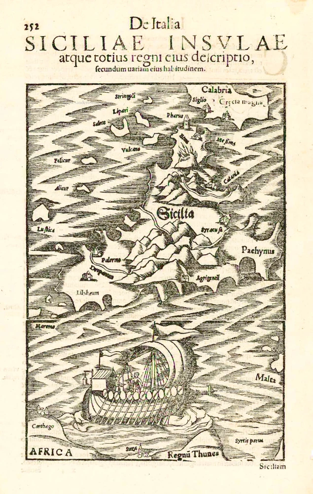
Sicilia. - Siciliae Insulae atque totius regni eius descriptio, ... 1552
Sicily, by Sebastian Münster.
[Item number: 27267]
Sicilia Insula. After 1575
Sicily (Sicilia) by Giovanni Francesco Camocio
[Item number: 27566]
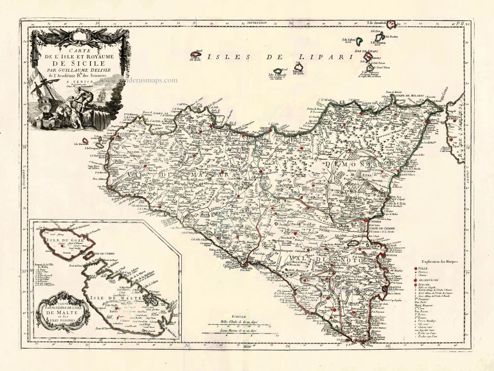
Carte de L'Isle et Royaume de Sicile. 1776-79
Sicily & Malta, by Paolo Santini.
[Item number: 27732]

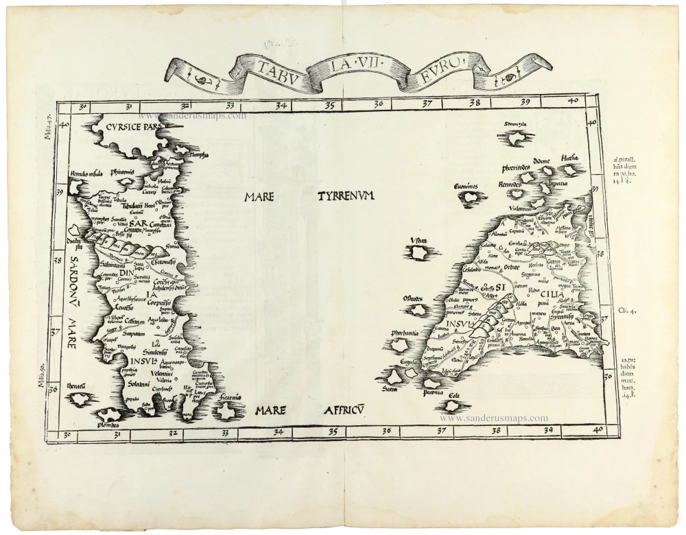
Tabula . VII . Euro. 1525
Sardinia & Sicily by Lorenz Fries.
[Item number: 28385]

Sicilia Regnum. 1650
Sicily (Sicilia), by Willem & Joan Blaeu.
[Item number: 28774]
Parergon map
Siciliae Veteris Typus. 1584
Ancient Sicily, by Abraham Ortelius.
[Item number: 29146]
Isle et Royaume de Sicile. 1652
Sicily, by N. & G. Sanson.
[Item number: 29720]
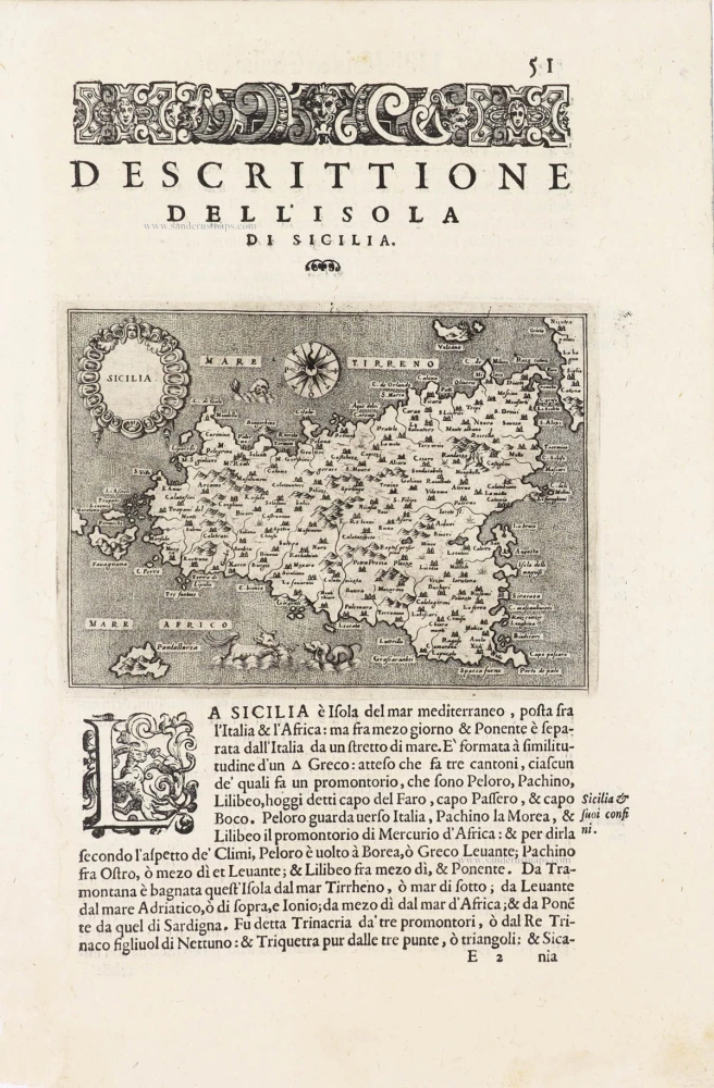
Sicilia - [Above map :] Descrittione dell'Isola di Sicilia. 1590
Sicily (Sicilia) by Thomaso Porcacchi.
[Item number: 29766]
Tabula . VII . Euro. 1525
Sardinia & Sicily by Lorenz Fries.
[Item number: 30534]