
Rare.
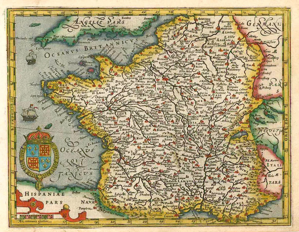
France, by Joannes Janssonius. 1630
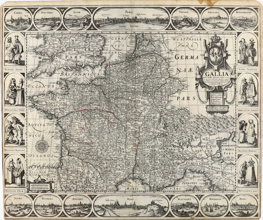
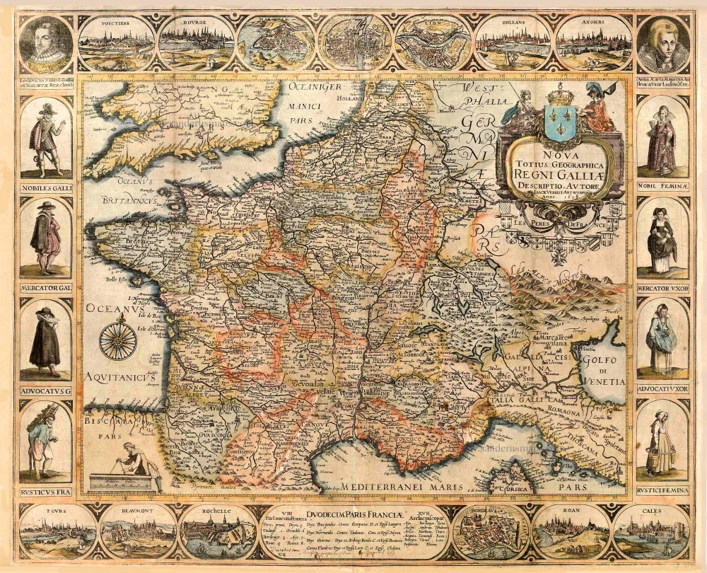
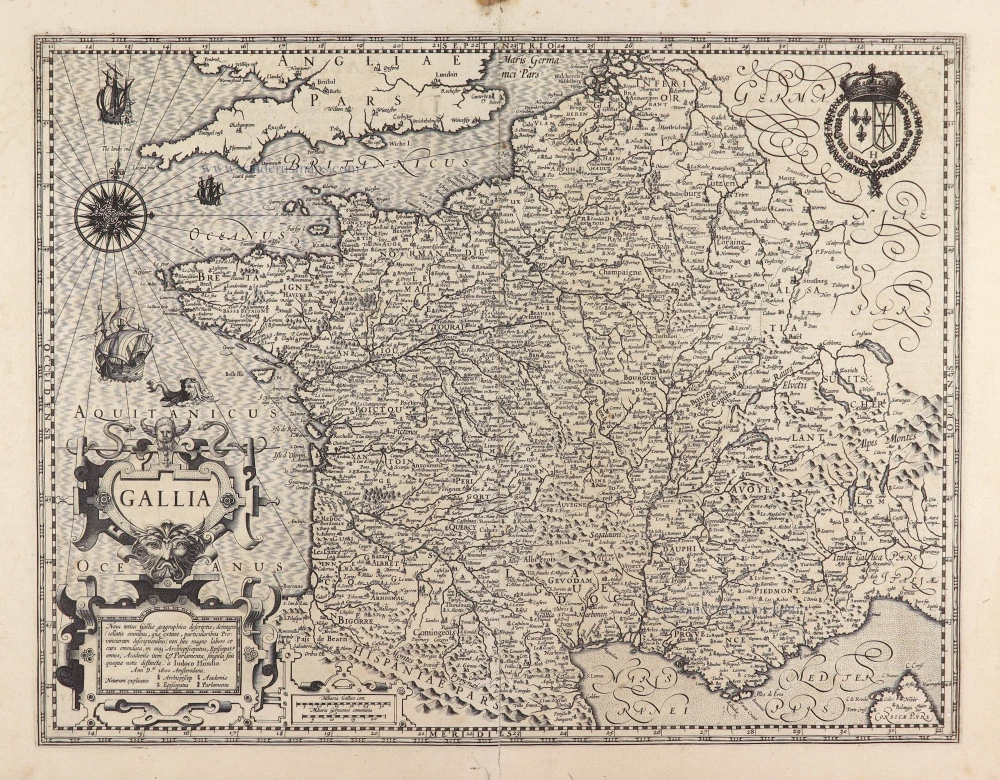
Pieter van den Keere first published this map in 1616.
The map is framed with borders on four sides: town views at the top and bottom borders and costumed figures of the different French social classes in the side borders.
The Janssonius Family
Joannes Janssonius (Arnhem, 1588-1664), son of the Arnhem publisher Jan Janssen, married Elisabeth Hondius, daughter of Jodocus Hondius, in Amsterdam in 1612. After his marriage, he settled down in this town as a bookseller and publisher of cartographic material. In 1618, he established himself in Amsterdam next door to Blaeu’s bookshop. He entered into serious competition with Willem Jansz. Blaeu when copying Blaeu’s Licht der Zeevaert after the expiration of the privilege in 1620. His activities concerned the publication of atlases, books, single maps, and an extensive book trade with branches in Frankfurt, Danzig, Stockholm, Copenhagen, Berlin, Koningsbergen, Geneva, and Lyon. In 1631, he began publishing atlases together with Henricus Hondius.
In the early 1640s, Henricus Hondius left the atlas publishing business to Janssonius. Competition with Joan Blaeu, Willem’s son and successor, in atlas production, prompted Janssonius to enlarge his Atlas Novus finally into a work of six volumes, into which a sea atlas and an atlas of the Old World were inserted. Other atlases published by Janssonius are Mercator’s Atlas Minor, Hornius’s historical atlas (1652), the townbooks in eight volumes (1657), Cellarius’s Atlas Coelestis and several sea atlases and pilot guides.
After the death of Joannes Janssonius, the shop and publishing firm were continued by the heirs under the direction of Johannes van Waesbergen (c. 1616-1681), son-in-law of Joannes Janssonius. Van Waesbergen added Janssonius's name to his own.
In 1676, Joannes Janssonius’s heirs sold by auction “all the remaining Atlases in Latin, French, High and Low German, as well as the Stedeboecken in Latin, in 8 volumes, bound and unbound, maps, plates belonging to the Atlas and Stedeboecken.” The copperplates from Janssonius’s atlases were afterwards sold to Schenk and Valck.
Gallia.
Item Number: 28022 Authenticity Guarantee
Category: Antique maps > Europe > France
Old, antique map of France, by Joannes Janssonius.
Title: Gallia.
Nova Galliae descriptio...
Amstelodami Excudebat Joannes Janßonius A°. 1627.
Fourth state (of six).
Date of the first edition: 1616.
Date of this map: 1630.
Date on map: 1627.
Copper engraving, printed on paper.
Size (not including margins): 467 x 565mm (18.39 x 22.24 inches).
Verso: Blank.
Condition: Short margins, left margin partly trimmed over the neatline (10 cm), some underlinings of placenames.
Condition Rating: B
References: Schilder 6, 80.4 (4th state); Van der Krogt 1, 4000:1C
From: Atlantis Maioris Appendix, sive Pars Altera, ... Amsterdam, J. Janssonius, 1630. (Van der Krogt 1, 1:202)
Pieter van den Keere first published this map in 1616.
The map is framed with borders on four sides: town views at the top and bottom borders and costumed figures of the different French social classes in the side borders.
The Janssonius Family
Joannes Janssonius (Arnhem, 1588-1664), son of the Arnhem publisher Jan Janssen, married Elisabeth Hondius, daughter of Jodocus Hondius, in Amsterdam in 1612. After his marriage, he settled down in this town as a bookseller and publisher of cartographic material. In 1618, he established himself in Amsterdam next door to Blaeu’s bookshop. He entered into serious competition with Willem Jansz. Blaeu when copying Blaeu’s Licht der Zeevaert after the expiration of the privilege in 1620. His activities concerned the publication of atlases, books, single maps, and an extensive book trade with branches in Frankfurt, Danzig, Stockholm, Copenhagen, Berlin, Koningsbergen, Geneva, and Lyon. In 1631, he began publishing atlases together with Henricus Hondius.
In the early 1640s, Henricus Hondius left the atlas publishing business to Janssonius. Competition with Joan Blaeu, Willem’s son and successor, in atlas production, prompted Janssonius to enlarge his Atlas Novus finally into a work of six volumes, into which a sea atlas and an atlas of the Old World were inserted. Other atlases published by Janssonius are Mercator’s Atlas Minor, Hornius’s historical atlas (1652), the townbooks in eight volumes (1657), Cellarius’s Atlas Coelestis and several sea atlases and pilot guides.
After the death of Joannes Janssonius, the shop and publishing firm were continued by the heirs under the direction of Johannes van Waesbergen (c. 1616-1681), son-in-law of Joannes Janssonius. Van Waesbergen added Janssonius's name to his own.
In 1676, Joannes Janssonius’s heirs sold by auction “all the remaining Atlases in Latin, French, High and Low German, as well as the Stedeboecken in Latin, in 8 volumes, bound and unbound, maps, plates belonging to the Atlas and Stedeboecken.” The copperplates from Janssonius’s atlases were afterwards sold to Schenk and Valck.
Related items
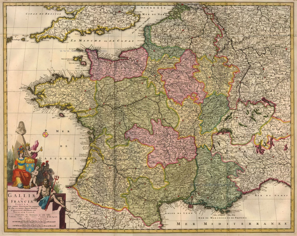
Galliae seu Franciae Tabula, ... 1683-1696
France, by Visscher N. II.
[Item number: 15637]
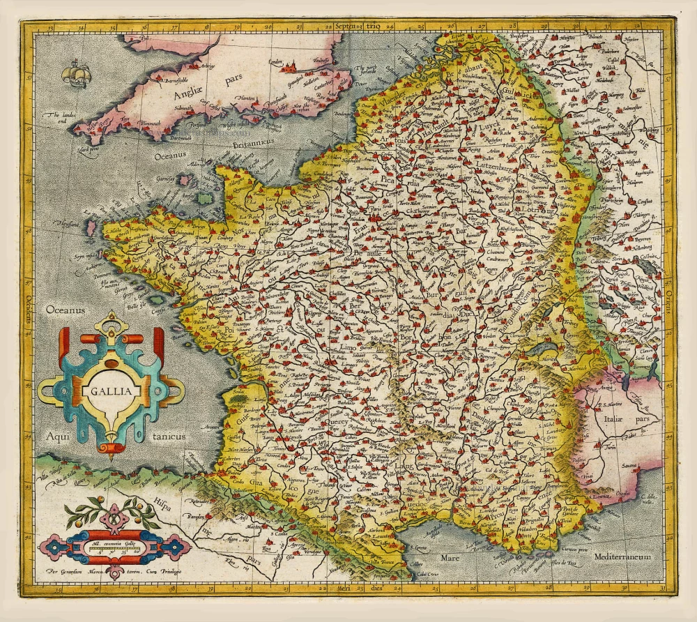
Gallia / Per Gerardum Mercatorem. 1609
France, by Gerard Mercator.
[Item number: 19119]
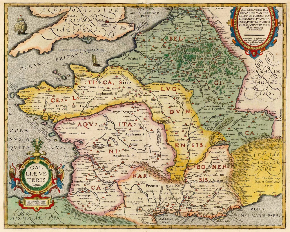
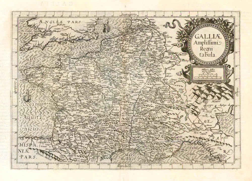
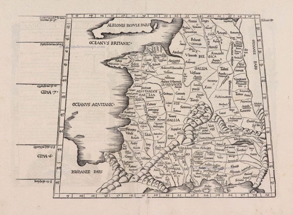
Galliae Veteris. 1601
France, by Ortelius A.
[Item number: 21253]
[No title] 1607
France, by Jodocus Hondius.
[Item number: 25294]
Galliae Amplissimi Regni Tabula. 1593
France, by Gerard de Jode.
[Item number: 26035]
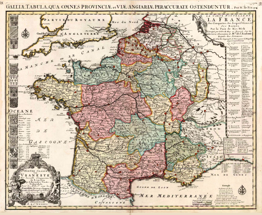
Nieuwe Caarte van Vrankryk Met desselfs Conquesten en Limiten by de Ryswykse Vrede Vastgestelt, ... 1730-45
France, by R. & I. Ottens.
[Item number: 26251]
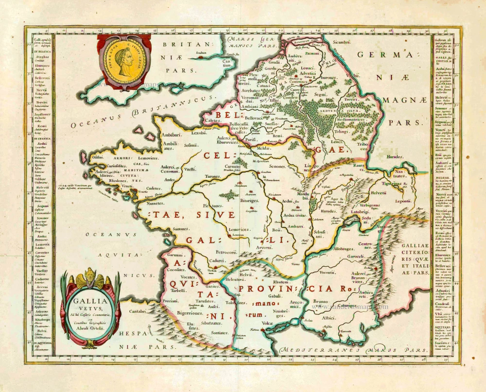
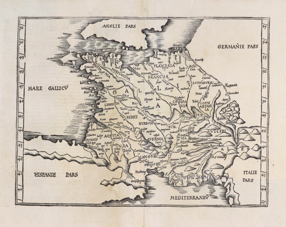
Gallia Vetus. 1640
Ancient France, by Willem Blaeu.
[Item number: 27153]
Très rare.
Nova Totius Geographica Regni Galliae Descriptio Isack Verbiest Antwerpia Anno, 1628. 1629
France, by Isaak Verbiest.
[Item number: 27740]
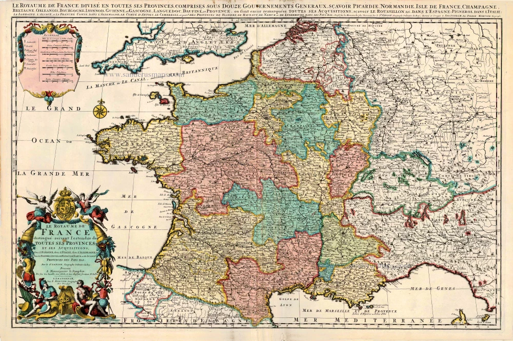
Le Royaume de France Distingué suivant l'estendue de Toutes ses Provinces, et ses Acquisitions, dans l'Espagne, dans l'Italie, dans l'Allemagne, et dans la Flandre, l'Artois, le Haynaut, le Namur, et le Luxembourg, Provinces des Pays-Bas c. 1705
France, by Pieter Mortier.
[Item number: 27773]
[No title] 1525
France, by Lorenz Fries.
[Item number: 27936]
[No title] - [On verso:] Tabula .III. Europae. 1525
France, by Lorenz Fries.
[Item number: 27957]
Gallia. 1619
France, by Jodocus Hondius.
[Item number: 28840]

Le Royaume de France et ses Acquisitions vers les Pays Bas, l'Allemagne, l'Italie et l'Espagne. 1665
France by Nicolas Sanson.
[Item number: 30082]