
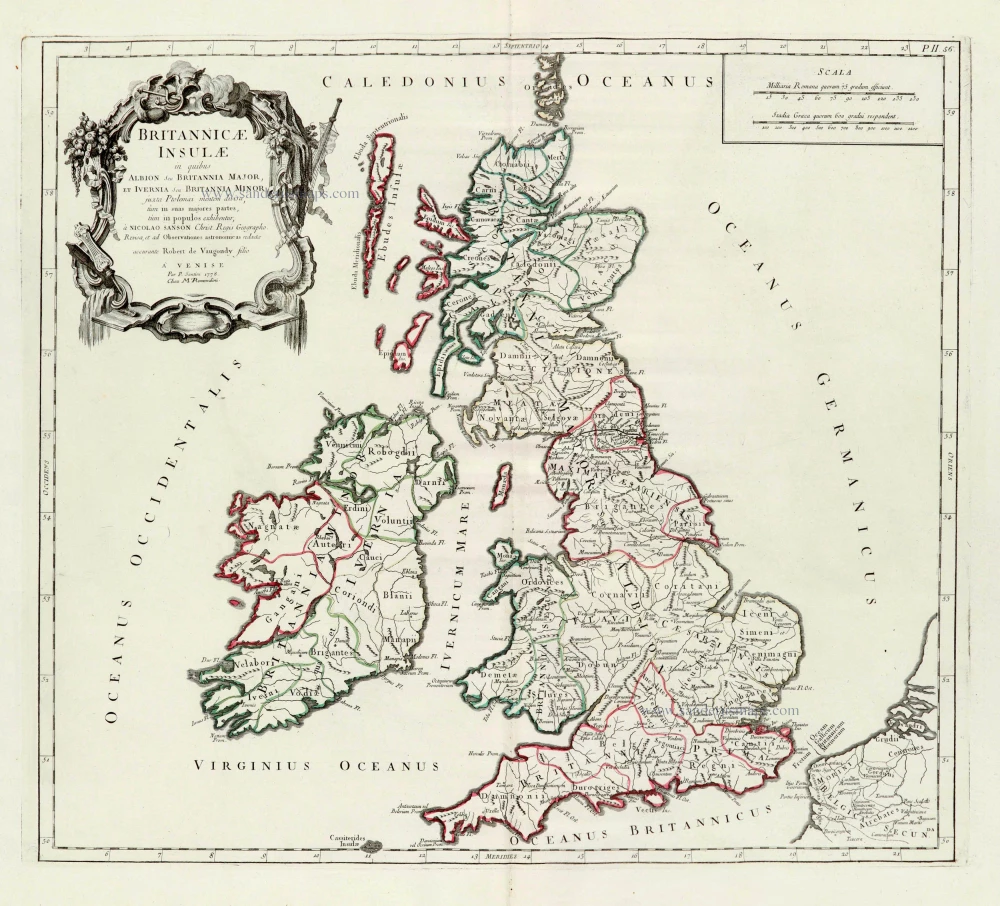
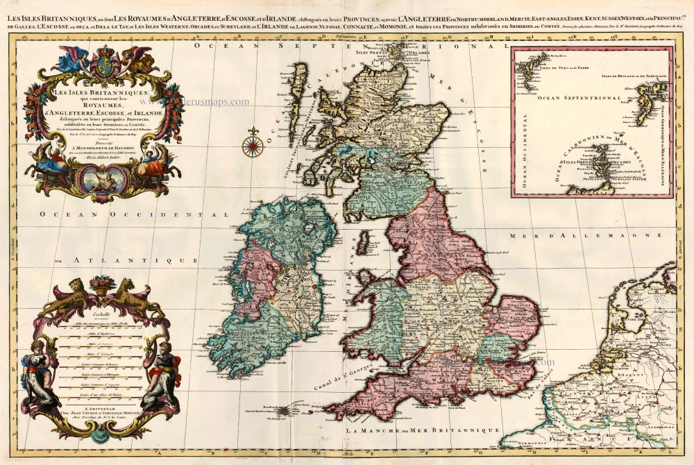
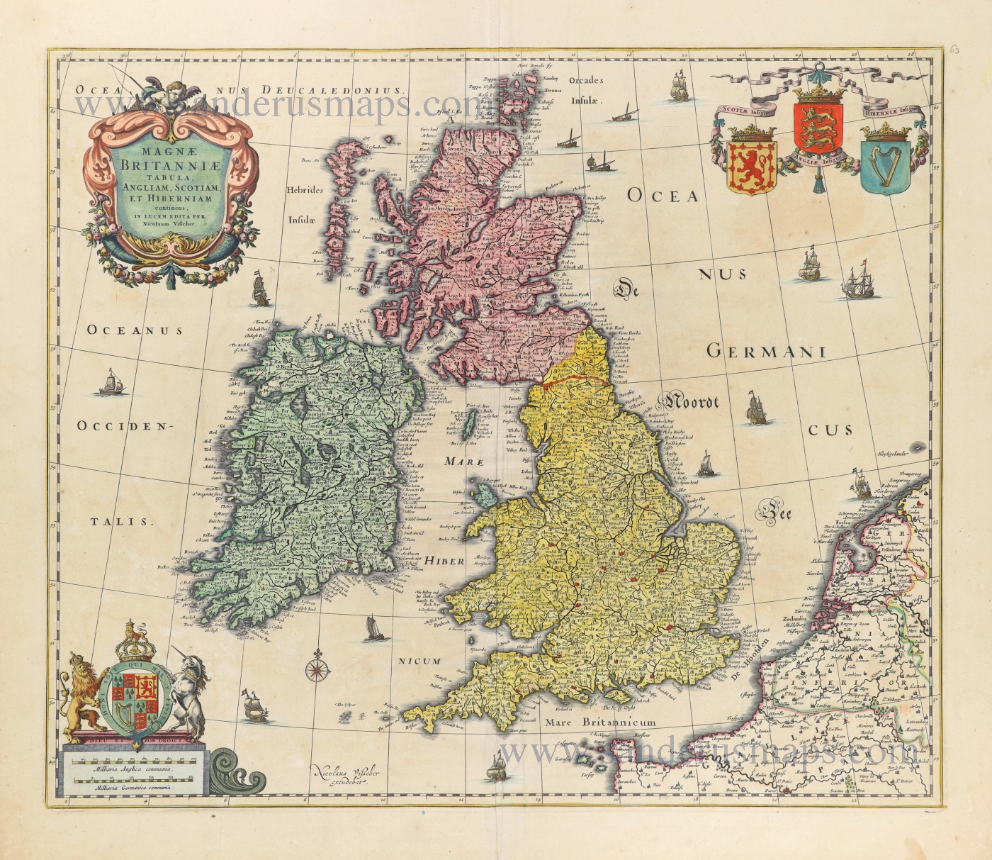
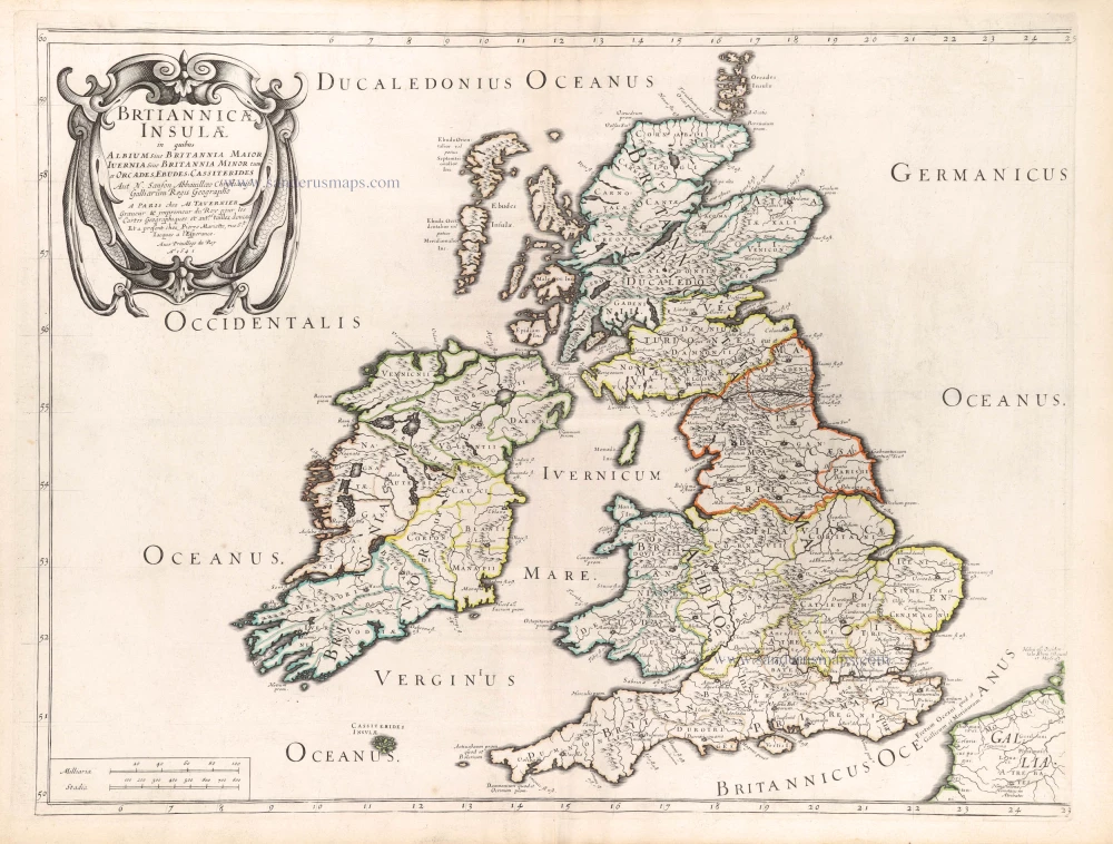
British Isles, by Paolo Santini, after Nicolas Sanson & Sr. Robert de Vaugondy. 1776-79
Francesco and Paolo Santini (c.1729-1793)
Francesco Santini, a Venetian publisher, acquired the printing plates of Vaugondy’s Atlas Universel …, a commercial and cartographic success, with widespread influence on mapmakers throughout Europe. Together with his brother Paolo, he commissioned a new set of plates and reissued the atlas in 1776. The following year, Paolo Santini assigned all his publication rights to M. Remondini, who in 1777 reissued the same atlas but with his name.
Nicolas Sanson (1600-1667) - Guillaume Sanson (1633-1703)
Originally from Abbeville, Nicolas I Sanson showed a keen interest in historical geography. Still very young, he published a map of ancient Gaul and two treatises, Britannia and Portus Itius on Abbeville and Boulogne's origins. His meeting with Melchior Tavernier was decisive: it prompted him to give up his duties as a military engineer in Picardy and devote himself to engraved cartography.
At the same time, Sanson had drawn up the outline of modern France. He got the help of Tavernier who encouraged him to compete with the Dutch map publishers. Tavernier contacted other French cartographers whose works he published.
From 1643, N. Sanson obtained a privilege to publish a work personally, the Princes souverains de l'Italie. Then, in 1644 and 1645, he had his famous geographical tables printed, which significantly contributed to his fame. He also published a series of atlases in quarto of the four continents.
In 1648, N. Sanson associated himself with Mariette for the publishing of atlases. From then on, certain maps bore his name, and others Mariette's. N. Sanson and Mariette worked together for more than 20 years. After the death of N. Sanson, Mariette acquired the entire fund. Since Mariette only wanted to publish complete atlases, individual maps were no longer sold, and some army generals complained to the king.
The disagreement between the Sanson family and Pierre II Mariette culminated in 1671 when Guillaume Sanson took the case to court. From then on, there was no longer any question of collaboration: Guillaume Sanson started working for another publisher, Alexis-Hubert Jaillot.
The Sanson family faced financial difficulties, and in 1692, their cousin, Pierre Moullart-Sanson, bought the entire geographic fund from his uncles and aunt. Moullart-Sanson restarted the publishing of Sanson's world atlas, and in 1704 he acquired a privilege for publishing all the works of Nicolas and Guillaume Sanson, which continued to be published until 1730.
Gilles and Didier Robert de Vaugondy
Gilles Robert de Vaugondy (1688-1766) and his son Didier Robert de Vaugondy (1723-1786) were leading cartographers in France during the 18th century. They served both as geographer to the king of France. The father, Gilles is also known as ‘Le Sieur’ or ‘Monsieur Robert’. He descended from the Nicolas Sanson family through Sanson's grandson Pierre Moulard-Sanson, from whom he inherited Sanson's cartographic material. After Hubert Jaillot died in 1712, the de Vaugondy's acquired numerous copies of his maps and plates, which formed the basis of their beautiful Atlas Universel (1757).
Their business flourished from 1731 to 1778. They made a substantial contribution to the world of cartography.
Britannicae Insulae in quibus Albion Seu Britannia Major, et Ivernia Seu Britannia Minor.
Item Number: 28105 Authenticity Guarantee
Category: Antique maps > Europe > British Isles
Old, antique map of the British Isles, by Paolo Santini, after Nicolas Sanson & Sr. Robert de Vaugondy.
Title: Britannicae Insulae in quibus Albion Seu Britannia Major, et Ivernia Seu Britannia Minor.
juta Ptolemaei mentem divisae, tùm in sua majores partes, tùm in populos ehibentur,
à Nicolao Sanson Christ Regis Geographo.
Revisae, et ad Observationes astronomic as redactae
accurante Robert de Vaugondy filio
A Venise
Par P. Santini 1778.
Chez Mr. Remondini.
Cartographer: Nicolas Sanson & Sr. Robert de Vaugondy.
Date of the first edition: 1750 (de Vaugondy).
Date of this map: 1776-79.
Date on map: 1778.
Copper engraving, printed on paper.
Size (not including margins): 480 x 535mm (18.9 x 21.06 inches).
Verso: Blank.
Condition: Original coloured in outline, excellent.
Condition Rating: A+.
References: Cf Pedley, #46
From: Atlas Universel dressé sur les meilleures cartes modernes. Venice, Remondini, 1776-79.
Francesco and Paolo Santini (c.1729-1793)
Francesco Santini, a Venetian publisher, acquired the printing plates of Vaugondy’s Atlas Universel …, a commercial and cartographic success, with widespread influence on mapmakers throughout Europe. Together with his brother Paolo, he commissioned a new set of plates and reissued the atlas in 1776. The following year, Paolo Santini assigned all his publication rights to M. Remondini, who in 1777 reissued the same atlas but with his name.
Nicolas Sanson (1600-1667) - Guillaume Sanson (1633-1703)
Originally from Abbeville, Nicolas I Sanson showed a keen interest in historical geography. Still very young, he published a map of ancient Gaul and two treatises, Britannia and Portus Itius on Abbeville and Boulogne's origins. His meeting with Melchior Tavernier was decisive: it prompted him to give up his duties as a military engineer in Picardy and devote himself to engraved cartography.
At the same time, Sanson had drawn up the outline of modern France. He got the help of Tavernier who encouraged him to compete with the Dutch map publishers. Tavernier contacted other French cartographers whose works he published.
From 1643, N. Sanson obtained a privilege to publish a work personally, the Princes souverains de l'Italie. Then, in 1644 and 1645, he had his famous geographical tables printed, which significantly contributed to his fame. He also published a series of atlases in quarto of the four continents.
In 1648, N. Sanson associated himself with Mariette for the publishing of atlases. From then on, certain maps bore his name, and others Mariette's. N. Sanson and Mariette worked together for more than 20 years. After the death of N. Sanson, Mariette acquired the entire fund. Since Mariette only wanted to publish complete atlases, individual maps were no longer sold, and some army generals complained to the king.
The disagreement between the Sanson family and Pierre II Mariette culminated in 1671 when Guillaume Sanson took the case to court. From then on, there was no longer any question of collaboration: Guillaume Sanson started working for another publisher, Alexis-Hubert Jaillot.
The Sanson family faced financial difficulties, and in 1692, their cousin, Pierre Moullart-Sanson, bought the entire geographic fund from his uncles and aunt. Moullart-Sanson restarted the publishing of Sanson's world atlas, and in 1704 he acquired a privilege for publishing all the works of Nicolas and Guillaume Sanson, which continued to be published until 1730.
Gilles and Didier Robert de Vaugondy
Gilles Robert de Vaugondy (1688-1766) and his son Didier Robert de Vaugondy (1723-1786) were leading cartographers in France during the 18th century. They served both as geographer to the king of France. The father, Gilles is also known as ‘Le Sieur’ or ‘Monsieur Robert’. He descended from the Nicolas Sanson family through Sanson's grandson Pierre Moulard-Sanson, from whom he inherited Sanson's cartographic material. After Hubert Jaillot died in 1712, the de Vaugondy's acquired numerous copies of his maps and plates, which formed the basis of their beautiful Atlas Universel (1757).
Their business flourished from 1731 to 1778. They made a substantial contribution to the world of cartography.
Related items
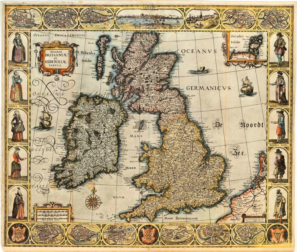
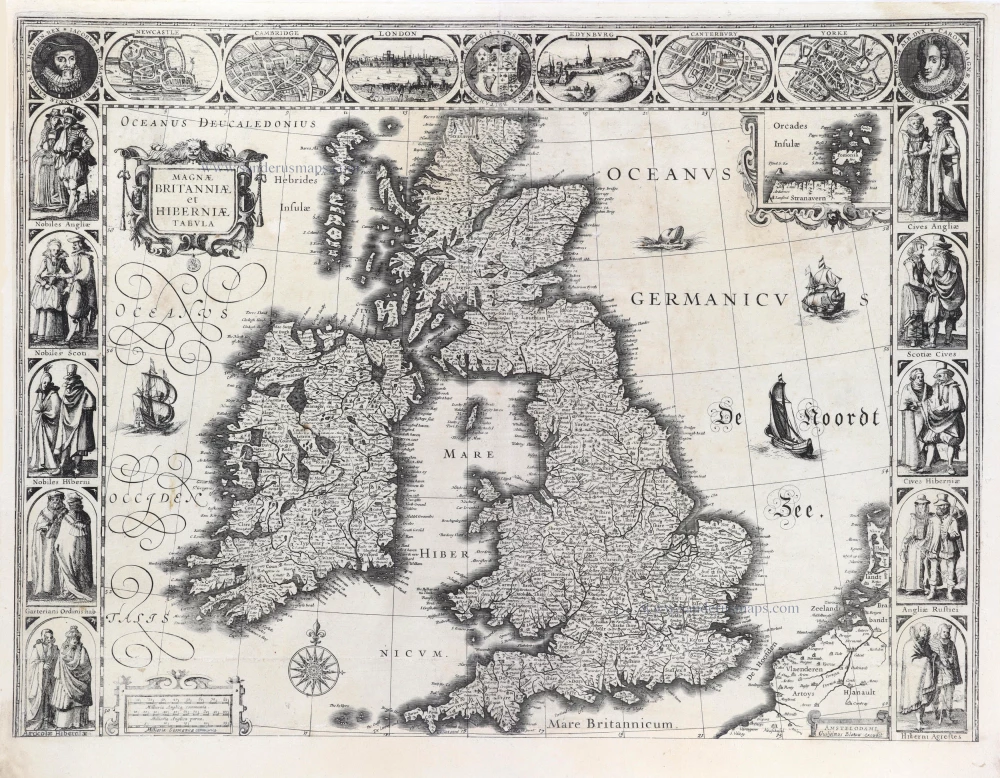
Angliae Scotiae et Hibernie Nova Descriptio 1593
British Isles, by de G. Jode.
[Item number: 11236]
Angliae, Scotiae, et Hiberniae, sive Britannicae Insularum Descriptio. 1579
The British Isles by Abraham Ortelius.
[Item number: 17897]
Angliae, Scotiae, et Hiberniae, sive Britannicae Insularum Descriptio. 1601
The British Isles, by Ortelius A.
[Item number: 22869]
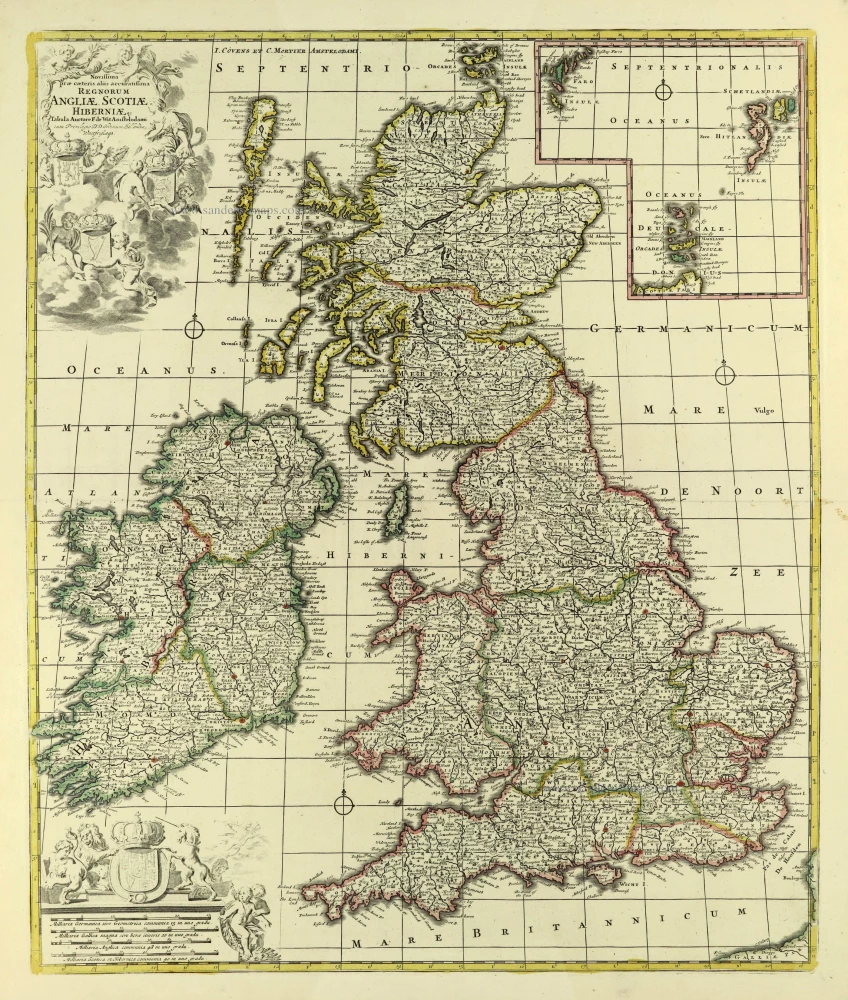
Les Isles Britanniques; qui Contiennent les Royaumes d'Angleterre, Escosse, et Irlande ... 1710
British Isles by Sanson - Covens & Mortier.
[Item number: 23726]
Anglia, Scotia et Hibernia. 1623
British Isles, by Gerard Mercator.
[Item number: 24894]
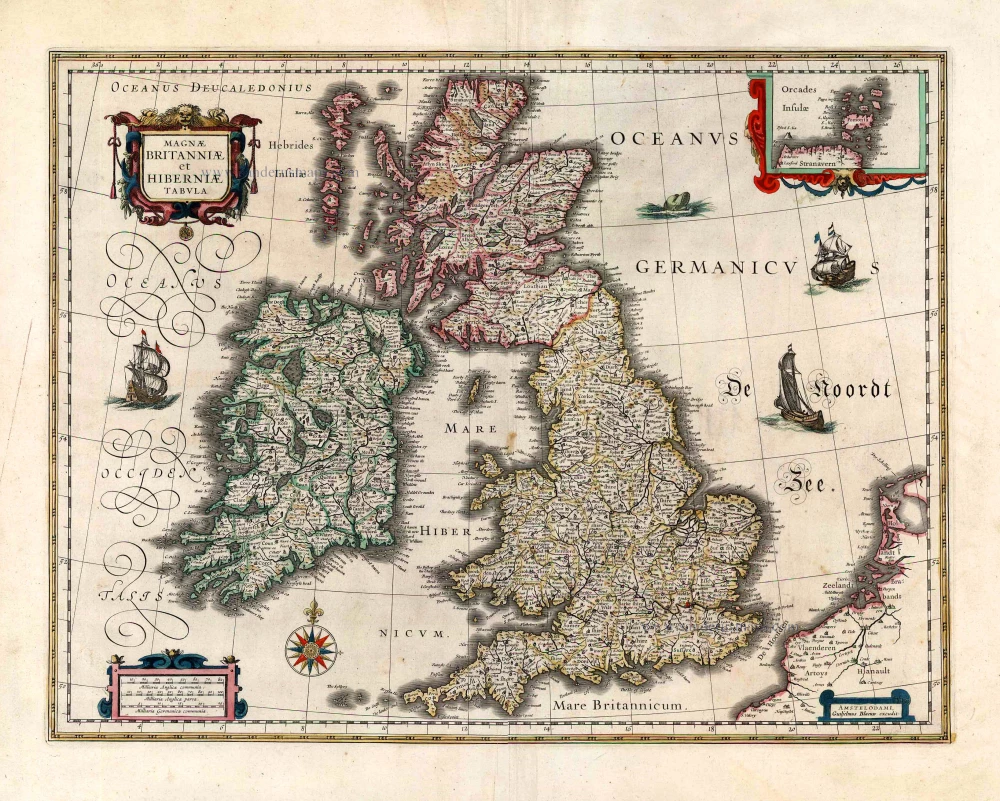
Magnae Britanniae et Hiberniae Tabula. 1662
British Isles, by W. & J. Blaeu.
[Item number: 25200]
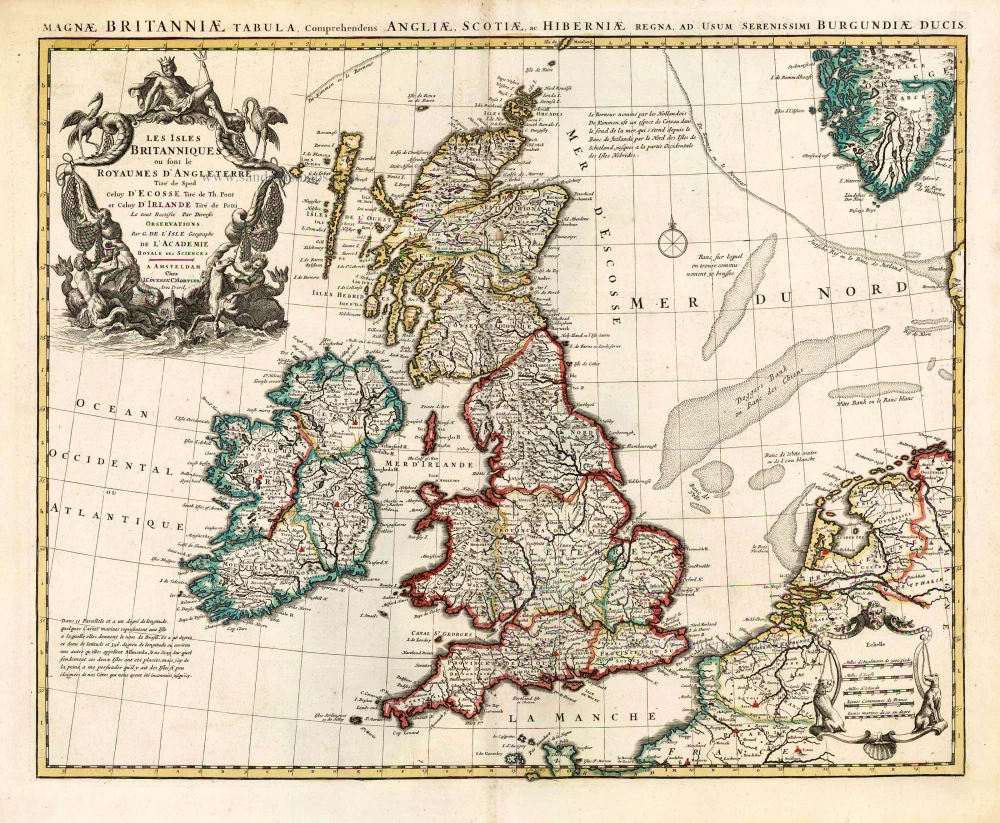
Les Isles Britanniques ou sont le Royaume D'Angleterre Tiré de Sped Celuy D'Ecosse Tiré de Th. Pont et Celuy D'Irlande Riré de Petti. 1730
British Isles by Guillaume Delisle, published by Covens & Mortier.
[Item number: 25680]
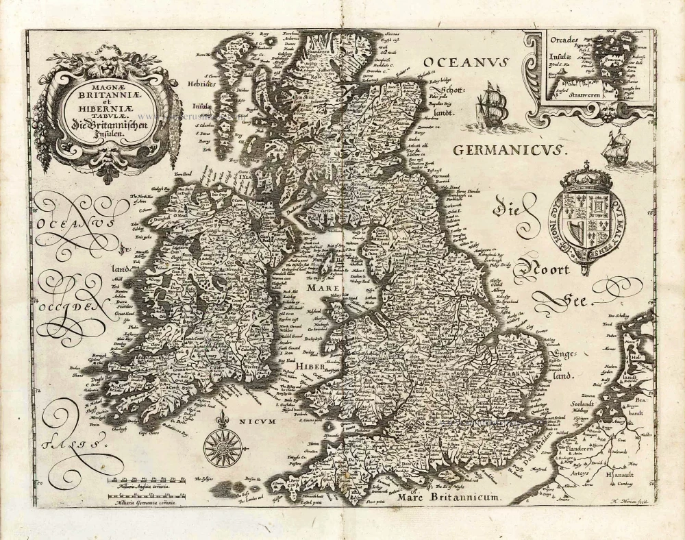
Magnae Britanniae et Hiberniae Tabulae. - Die Britannischen Insulen. 1638
The British Isles, by M. Merian.
[Item number: 25904]
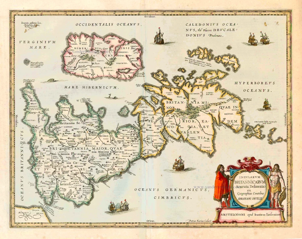
Insularum Britannicarum Acurata Delineatio ex Geographicis Conatibus Abrahami Ortelii. 1641
The British Isles, by Johannes Janssonius.
[Item number: 26483]
Magnae Britanniae et Hiberniae Tabula. 1645
The British Isles, by Joan and Willem Blaeu
[Item number: 26715]

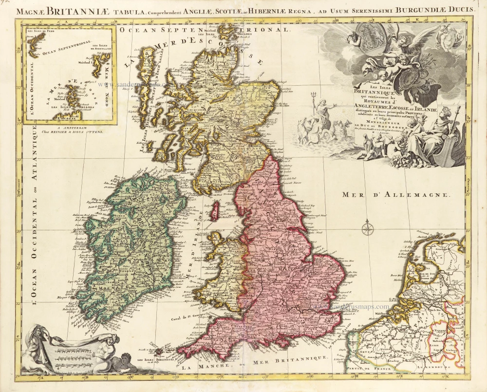
Les Isles Britanniques Comprenant les Royaumes d'Angleterre, d'Ecosse et d'Iralnade, divisés en grandes provinces, ... 1776-79
British Isles, by Francesco Santini.
[Item number: 26959]
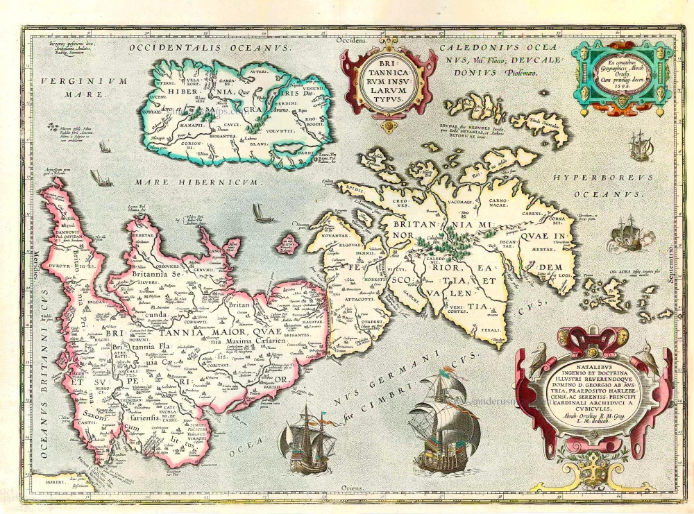
Britannicarum Insularum Typus. 1624
The British Isles, by Abraham Ortelius.
[Item number: 27469]
Magnae Britanniae et Hiberniae Tabula. 1629
British Isles by Pieter Verbiest
[Item number: 27737]

Les Isles Britanniques; qui Contiennent les Royaumes d'Angleterre, Escosse, et Irlande. c. 1705
British Isles, by H. Jaillot
[Item number: 27772]
Novissima Prae Caeteris aliis Accuratissima Regnorum Angliae, Scotiae, Hiberniae. c. 1691-96
British Isles by Frederik De Wit.
[Item number: 28239]
Magnae Britanniae Tabula, Angliam, Scotiam, et Hiberniam continens. 1677-80
British Isles by Nicolaes Visscher I.
[Item number: 28586]
Les Isles Britanniques qui contiennent les Royaumes d'Angleterre Escosse, et Irlande. 1730-45
British Isles by Hubert Jaillot, published by Reinier and Josua Ottens.
[Item number: 28747]
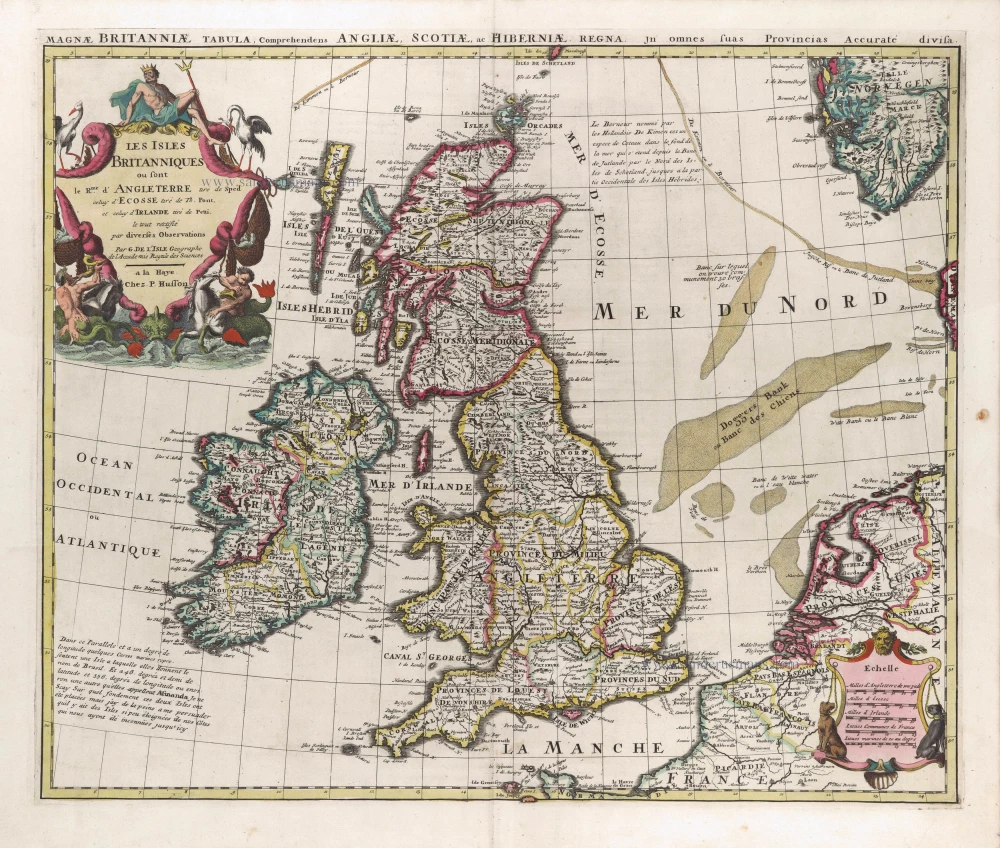
Les Isles Britanniques ou sont le Rme d'Angleterre tiré de Sped celuy d'Ecosse tiré de Th.Pont &c. et celuy d'Irlande tire de Petti, c. 1709
The British Isles by G. Delisle, published by Pierre Husson.
[Item number: 29562]
Magnae Britanniae et Hiberniae Tabula. 1631
British Isles by Blaeu, with three decorative borders
[Item number: 29586]
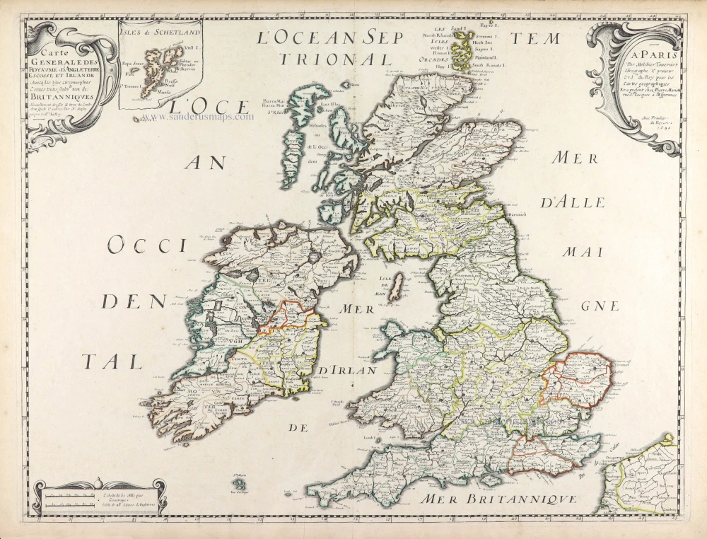
Carte Générale des Royaume d'Angleterre Escosse et Irlande. 1652
British Isles by Nicolas Sanson, published by Melchior Tavernier / Pierre Mariette.
[Item number: 29604]
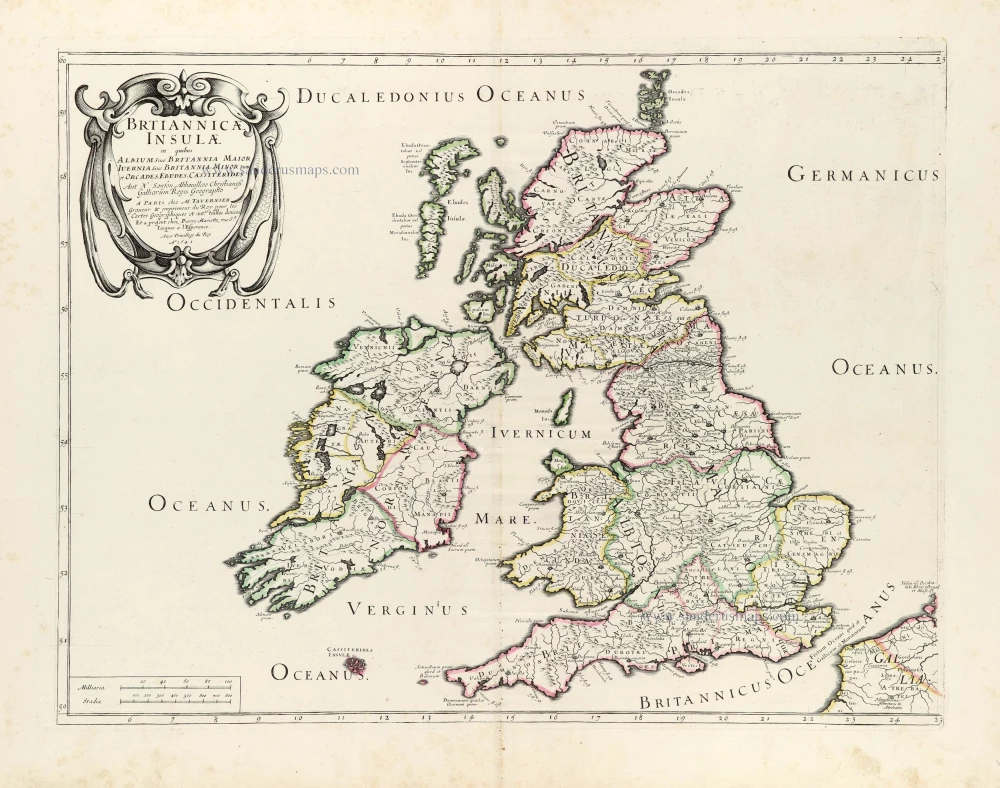
Brtiannicae [sic] Insulae in quibus Albium sive Britannia Maior Iuernia sive Britannia Minor tum et Orcades, Ebudes, Cassiterides. 1652
Ancient British Isles by Nicolas Sanson.
[Item number: 29623]
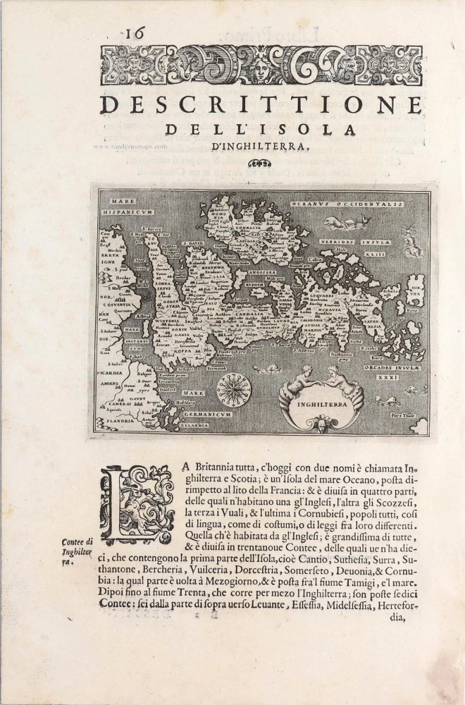
Inghilterra. - [Above map :] Descrittione dell'Isola d'Inghilterra. 1590
British Isles, by Thomaso Porcacchi.
[Item number: 29755]
Britannicae Insulae in quibus Albium Sive Britannia Maior Iuernie Sive Bitannia Minor tum et Orcades, Ebudes, Cassiterides. 1659
Ancient British Isles by Melchior Tavernier and Nicolas Sanson.
[Item number: 30014]
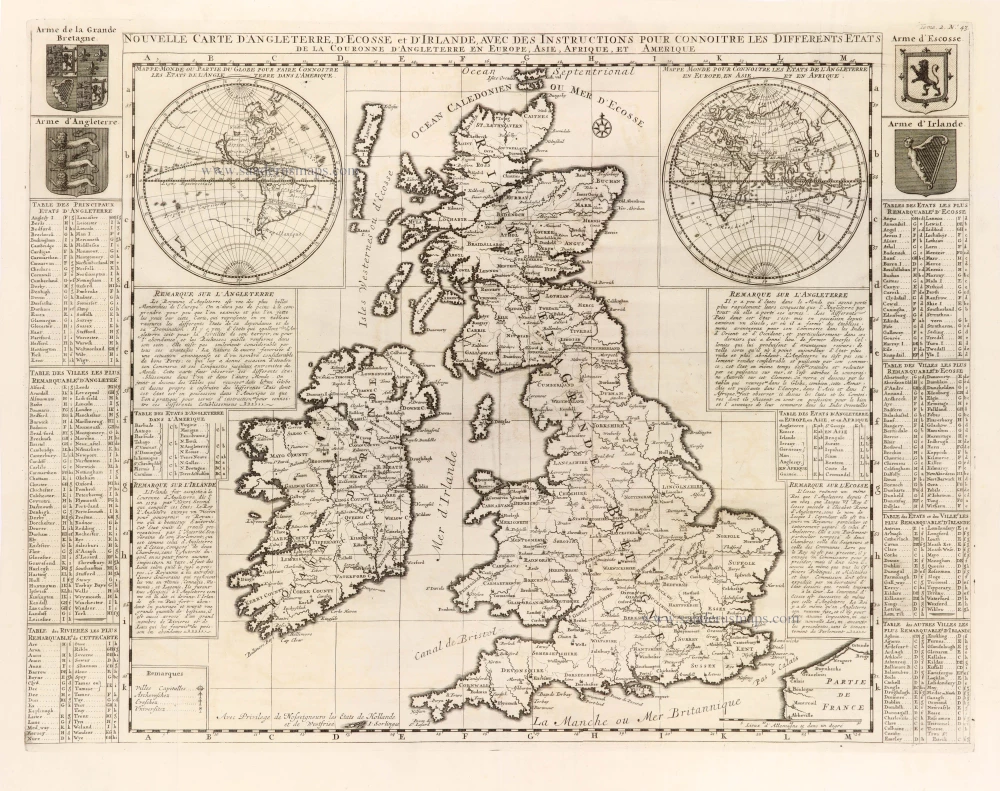
Nouvelle Carte d'Angleterre, d'Ecosse et d'Irlande, avec des Instructions pour connoitre les differents etats de la Couronne d'Angleterre en Europe, Asie, Afrique, et Amérique. 1708
British Isles with a world map in two hemispheres, by Zacharias Châtelain.
[Item number: 30167]

Verschiedene Reisen des Auctoris. 1753-55
British Isles by George Edwards.
[Item number: 30331]