
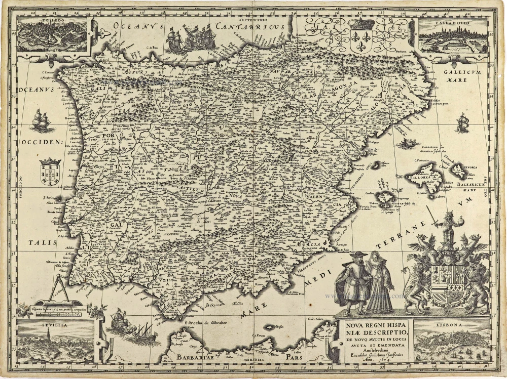
Spain by Joannes Janssonius. 1632
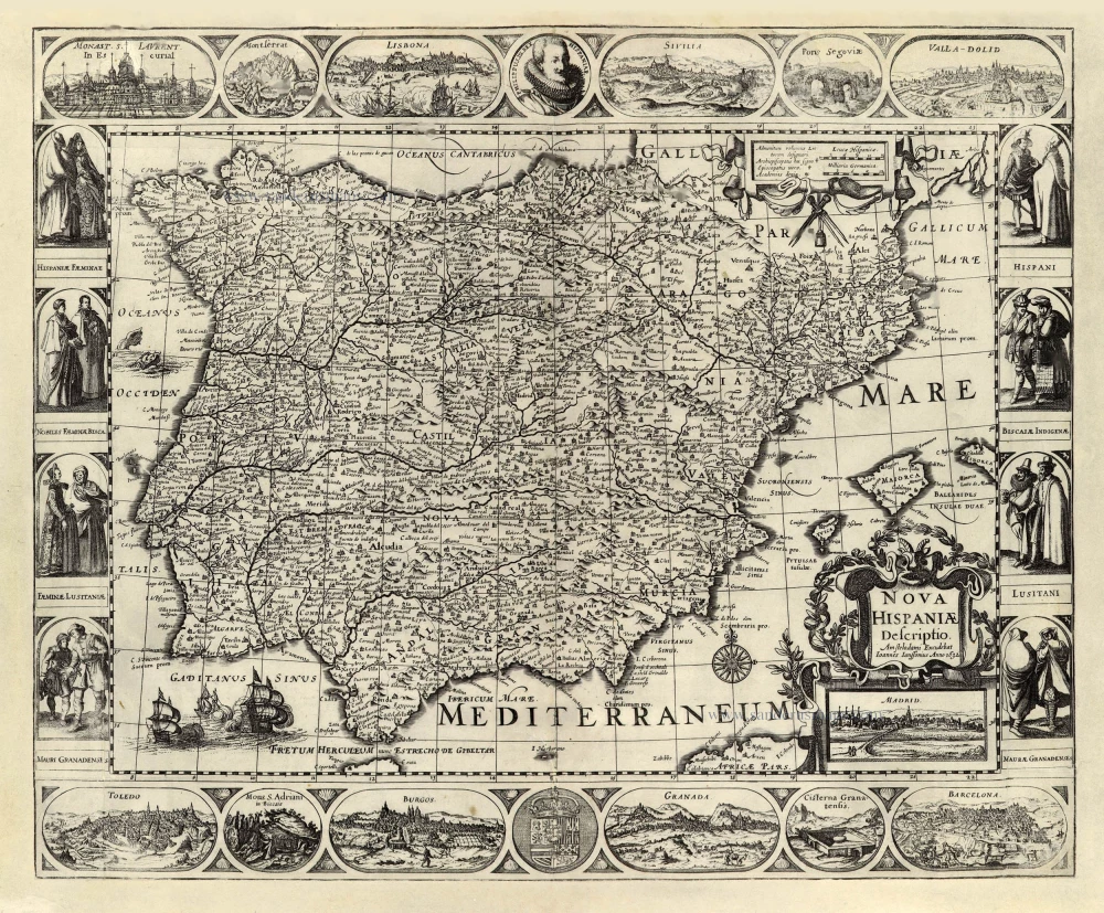
Third State of this scarce map with four borders. Pieter van den Keere published the first state in 1616. The map is surrounded by a series of engraved topographical views, a portrait of Philip III, and costumed figures representing the different social classes.
The geographical content of Van den Keere's map is faithfully copied from the map image introduced by Hessel Gerritz in 1613.
The Janssonius Family
Joannes Janssonius (Arnhem, 1588-1664), son of the Arnhem publisher Jan Janssen, married Elisabeth Hondius, daughter of Jodocus Hondius, in Amsterdam in 1612. After his marriage, he settled down in this town as a bookseller and publisher of cartographic material. In 1618, he established himself in Amsterdam next door to Blaeu’s bookshop. He entered into serious competition with Willem Jansz. Blaeu when copying Blaeu’s Licht der Zeevaert after the expiration of the privilege in 1620. His activities concerned the publication of atlases, books, single maps, and an extensive book trade with branches in Frankfurt, Danzig, Stockholm, Copenhagen, Berlin, Koningsbergen, Geneva, and Lyon. In 1631, he began publishing atlases together with Henricus Hondius.
In the early 1640s, Henricus Hondius left the atlas publishing business to Janssonius. Competition with Joan Blaeu, Willem’s son and successor, in atlas production, prompted Janssonius to enlarge his Atlas Novus finally into a work of six volumes, into which a sea atlas and an atlas of the Old World were inserted. Other atlases published by Janssonius are Mercator’s Atlas Minor, Hornius’s historical atlas (1652), the townbooks in eight volumes (1657), Cellarius’s Atlas Coelestis and several sea atlases and pilot guides.
After the death of Joannes Janssonius, the shop and publishing firm were continued by the heirs under the direction of Johannes van Waesbergen (c. 1616-1681), son-in-law of Joannes Janssonius. Van Waesbergen added Janssonius's name to his own.
In 1676, Joannes Janssonius’s heirs sold by auction “all the remaining Atlases in Latin, French, High and Low German, as well as the Stedeboecken in Latin, in 8 volumes, bound and unbound, maps, plates belonging to the Atlas and Stedeboecken.” The copperplates from Janssonius’s atlases were afterwards sold to Schenk and Valck.
Pieter Van den Keere (Petrus Kaerius) (1571-c.1650)
Pieter van den Keere was born in Ghent in 1571 as the son of the type-founder, Hendrik van den Keere. In 1584 he moved with his family for religious reasons to London. There, Van den Keere received training as an engraver from Jodocus Hondius, his brother-in-law. Not only the companionship with Jodocus Hondius but also the acquaintanceship with Pieter van den Berghe (Petrus Montanus) author of the text of the Germania Inferior originates from the years of refuge in London.
In 1593, both Keere and Hondius settled in Amsterdam. There, one of the first big enterprises was the large wall map of Europe, dated 1595: Nova totius Europae descriptio.
In 1610 he set up a workshop in the Kalverstraat that he called ‘In den onseeckeren tijd’ (In the uncertain time). In this period, he made numerous copperplates, including for maps for his atlas of the Netherlands and the Atlas Minor published by Jodocus Hondius.
The Germania Inferior (1617) is the first original atlas of the Netherlands published in folio size. The text for the atlas, both in Dutch and in French, was written by Petrus Montanus. After 1623, Claes Jansz. Visscher bought the plates and substituted his name for that of Kaerius’s. In 1634, Visscher included many of these maps in his Germana Inferior.
The fame of Kaerius is not only based on his atlas of the Netherlands. He is even better known as an engraver of many loose-leaf maps and as a collaborator of book publishers. His maps are found, i.a., in the Caert thresoor (Barent Langenes, 1598), Licht der Zeevaert (Blaeu, 1608), Atlas Minor (Hondius, 1628), and Caertboeck vande Midellandsche Zee (Barents, 1595).
Hessel Gerritsz. (1580/81 – 1632)
Hessel Gerritsz. was one of the seventeenth century's most influential and innovative map makers. He was born in Assum in North Holland and attended Alkmaar school. He must have known Willem Jansz. (= Willem Blaeu) who stayed in Alkmaar for several years. Later, he moved to Amsterdam for his further education.
After the closing of the Scheldt River, Amsterdam’s competitor was cut off so Amsterdam could take over the world trade centre's function. Flourishing Amsterdam offered plenty of work and was an excellent attraction for artisans from the Southern Netherlands. The two dominating publishers in the cartographical field were Cornelis Claesz. and Jodocus Hondius, both from the Southern Netherlands. Hessel Gerritsz. was trained in the graphic trade by David Vingboons, a painter and artist from the Southern Netherlands.
After his apprenticeship with David Vingboons, Hessel Gerritsz. continued his schooling in the publishing house of Willem Jansz. (Blaeu). There, he could perfect his etching style, was given the mathematical skills that would be useful to him later, and learned the trade of mapmaking. With the engraver Josua van den Ende, he was responsible for engraving the superb wall map of the Seventeen Provinces (1608). Van den Ende engraved the map image while Hessel Gerritsz. took care of the decorative borders and the decorations on the main map.
During his activities for Willem Jansz. Hessel Gerritsz. not only perfected his etching and engraving style but also received the geographical and mathematical education that would stand him in good stead in later years. He could not wish for a better cartographical school. Blaeu’s workshop was a repository where geographical information from all parts of the world came together.
Hessel Gerritsz. married in 1607 to Geertje Gijsbertdr. One of his children, Gerrit, born in 1609, was to follow in his father’s footsteps. Shortly after his marriage, he established himself as an independent engraver, mapmaker and printer.
Hessel Gerritsz. regularly worked with Claes Jansz. Visscher, as well. They cooperated for a long time.
His artistic talent comes to the fore in his map of the Leo Belgicus, depicting the Seventeen Provinces in the shape of a lion. This was seen as a symbol of the courage and persistence of the Dutch provinces in their resistance against Spanish tyranny.
In 1612-13, Hessel Gerritsz. was intensively busy with publications about Russia. In 1612, he published the influential booklet Beschryvinghe vander Samoyeden Landt. The two chapters about Siberia were provided by Isaac Massa, who had lived in Moscow for nine years. With the aid of original Russian material, Gerrritsz. produced a series of three maps in folio format: a map of Russia and Moscow and the Kremlin town plans. He also made an essential new wall map of Lithuania and engraved it on four plates for Willem Blaeu. In the meantime, he also made a wall map and a folio map of Spain.
Next to these works undertaken on his initiative, Hessel Gerritsz. also accepted engraving and publishing tasks for third parties.
In 1617, Hessel Gerritsz. published a large wall map of Italy in six sheets. He gave his wall map an extra cachet by extending the map image with town views and costumed figures. The map was copied shortly after publication by Willem Blaeu. To protect himself against such plagiarism in the future, he requested a patent from the States-General. In January 1618, they granted him a general license in which, amongst other things, it was forbidden in any way to reproduce, copy or distribute his maps, both written or printed.
Hessel Gerritsz. was so highly regarded in 1617 that he received such an extraordinary privilege. He was appointed as a geography instructor for the Councillors of the Admiralty at Amsterdam and as a mapmaker for the Chamber Amsterdam of the VOC. With both appointments, his old employer, Willem Blaeu, was passed over. In his function as VOC's mapmaker, he improved and expanded the charts for navigation to and from the Indies. The chart maker, of course, did not draw the charts needed for the VOC ships himself. He manufactured specific prototypes, the so-called leggers (master charts), which served as models for copying work by his assistants in his house.
At the beginning of September 1632, Hessel Gerritsz. died at the age of 52. He must be considered one of the most comprehensive map makers of his time. “He was multi-disciplined in his working method, integrating graphical technique and artistic expression in his scientific approach. Because of his mathematical talent, he could solve nautical problems and make proposals about them. His exceptional network – the interviews with pilots from diverse companies and his correspondence with persons at home and abroad – supplied him with a huge amount of geographical and nautical information that he used most efficiently. His good contacts with the families of the great merchants, ship owners, and the influential regents' representatives opened doors for him. He was, without doubt, the most informed person in geographical matters in Amsterdam of his time.” (Schilder)
Nova Hispaniae Descriptio.
Item Number: 28205 Authenticity Guarantee
Category: Antique maps > Europe > Spain and Portugal
Old, antique map of the Iberian Peninsula (Spain & Portugal) with decorative borders, by Joannes Janssonius.
Third state (First state by Pieter van den Keere).
Inset with a view of Madrid.
Title: Nova Hispaniae Descriptio.
Amstelodami Excudebat Ioannes Janssonius Anno 1632.
Cartographer: Hessel Gerritz.
Engraver: Pieter van den Keere (Kaerius).
Date of the first edition: 1616.
Date of this map: 1632.
Date on map: 1632.
Copper engraving, printed on paper.
Size (not including margins): 460 x 560mm (18.11 x 22.05 inches).
Verso: Blank.
Condition: New margins, borders restored with reinstatement.
Condition Rating: B
References: Van der Krogt 1, 6000:1B; Schilder 6, 101.3
Separate publication.
Third State of this scarce map with four borders. Pieter van den Keere published the first state in 1616. The map is surrounded by a series of engraved topographical views, a portrait of Philip III, and costumed figures representing the different social classes.
The geographical content of Van den Keere's map is faithfully copied from the map image introduced by Hessel Gerritz in 1613.
The Janssonius Family
Joannes Janssonius (Arnhem, 1588-1664), son of the Arnhem publisher Jan Janssen, married Elisabeth Hondius, daughter of Jodocus Hondius, in Amsterdam in 1612. After his marriage, he settled down in this town as a bookseller and publisher of cartographic material. In 1618, he established himself in Amsterdam next door to Blaeu’s bookshop. He entered into serious competition with Willem Jansz. Blaeu when copying Blaeu’s Licht der Zeevaert after the expiration of the privilege in 1620. His activities concerned the publication of atlases, books, single maps, and an extensive book trade with branches in Frankfurt, Danzig, Stockholm, Copenhagen, Berlin, Koningsbergen, Geneva, and Lyon. In 1631, he began publishing atlases together with Henricus Hondius.
In the early 1640s, Henricus Hondius left the atlas publishing business to Janssonius. Competition with Joan Blaeu, Willem’s son and successor, in atlas production, prompted Janssonius to enlarge his Atlas Novus finally into a work of six volumes, into which a sea atlas and an atlas of the Old World were inserted. Other atlases published by Janssonius are Mercator’s Atlas Minor, Hornius’s historical atlas (1652), the townbooks in eight volumes (1657), Cellarius’s Atlas Coelestis and several sea atlases and pilot guides.
After the death of Joannes Janssonius, the shop and publishing firm were continued by the heirs under the direction of Johannes van Waesbergen (c. 1616-1681), son-in-law of Joannes Janssonius. Van Waesbergen added Janssonius's name to his own.
In 1676, Joannes Janssonius’s heirs sold by auction “all the remaining Atlases in Latin, French, High and Low German, as well as the Stedeboecken in Latin, in 8 volumes, bound and unbound, maps, plates belonging to the Atlas and Stedeboecken.” The copperplates from Janssonius’s atlases were afterwards sold to Schenk and Valck.
Pieter Van den Keere (Petrus Kaerius) (1571-c.1650)
Pieter van den Keere was born in Ghent in 1571 as the son of the type-founder, Hendrik van den Keere. In 1584 he moved with his family for religious reasons to London. There, Van den Keere received training as an engraver from Jodocus Hondius, his brother-in-law. Not only the companionship with Jodocus Hondius but also the acquaintanceship with Pieter van den Berghe (Petrus Montanus) author of the text of the Germania Inferior originates from the years of refuge in London.
In 1593, both Keere and Hondius settled in Amsterdam. There, one of the first big enterprises was the large wall map of Europe, dated 1595: Nova totius Europae descriptio.
In 1610 he set up a workshop in the Kalverstraat that he called ‘In den onseeckeren tijd’ (In the uncertain time). In this period, he made numerous copperplates, including for maps for his atlas of the Netherlands and the Atlas Minor published by Jodocus Hondius.
The Germania Inferior (1617) is the first original atlas of the Netherlands published in folio size. The text for the atlas, both in Dutch and in French, was written by Petrus Montanus. After 1623, Claes Jansz. Visscher bought the plates and substituted his name for that of Kaerius’s. In 1634, Visscher included many of these maps in his Germana Inferior.
The fame of Kaerius is not only based on his atlas of the Netherlands. He is even better known as an engraver of many loose-leaf maps and as a collaborator of book publishers. His maps are found, i.a., in the Caert thresoor (Barent Langenes, 1598), Licht der Zeevaert (Blaeu, 1608), Atlas Minor (Hondius, 1628), and Caertboeck vande Midellandsche Zee (Barents, 1595).
Hessel Gerritsz. (1580/81 – 1632)
Hessel Gerritsz. was one of the seventeenth century's most influential and innovative map makers. He was born in Assum in North Holland and attended Alkmaar school. He must have known Willem Jansz. (= Willem Blaeu) who stayed in Alkmaar for several years. Later, he moved to Amsterdam for his further education.
After the closing of the Scheldt River, Amsterdam’s competitor was cut off so Amsterdam could take over the world trade centre's function. Flourishing Amsterdam offered plenty of work and was an excellent attraction for artisans from the Southern Netherlands. The two dominating publishers in the cartographical field were Cornelis Claesz. and Jodocus Hondius, both from the Southern Netherlands. Hessel Gerritsz. was trained in the graphic trade by David Vingboons, a painter and artist from the Southern Netherlands.
After his apprenticeship with David Vingboons, Hessel Gerritsz. continued his schooling in the publishing house of Willem Jansz. (Blaeu). There, he could perfect his etching style, was given the mathematical skills that would be useful to him later, and learned the trade of mapmaking. With the engraver Josua van den Ende, he was responsible for engraving the superb wall map of the Seventeen Provinces (1608). Van den Ende engraved the map image while Hessel Gerritsz. took care of the decorative borders and the decorations on the main map.
During his activities for Willem Jansz. Hessel Gerritsz. not only perfected his etching and engraving style but also received the geographical and mathematical education that would stand him in good stead in later years. He could not wish for a better cartographical school. Blaeu’s workshop was a repository where geographical information from all parts of the world came together.
Hessel Gerritsz. married in 1607 to Geertje Gijsbertdr. One of his children, Gerrit, born in 1609, was to follow in his father’s footsteps. Shortly after his marriage, he established himself as an independent engraver, mapmaker and printer.
Hessel Gerritsz. regularly worked with Claes Jansz. Visscher, as well. They cooperated for a long time.
His artistic talent comes to the fore in his map of the Leo Belgicus, depicting the Seventeen Provinces in the shape of a lion. This was seen as a symbol of the courage and persistence of the Dutch provinces in their resistance against Spanish tyranny.
In 1612-13, Hessel Gerritsz. was intensively busy with publications about Russia. In 1612, he published the influential booklet Beschryvinghe vander Samoyeden Landt. The two chapters about Siberia were provided by Isaac Massa, who had lived in Moscow for nine years. With the aid of original Russian material, Gerrritsz. produced a series of three maps in folio format: a map of Russia and Moscow and the Kremlin town plans. He also made an essential new wall map of Lithuania and engraved it on four plates for Willem Blaeu. In the meantime, he also made a wall map and a folio map of Spain.
Next to these works undertaken on his initiative, Hessel Gerritsz. also accepted engraving and publishing tasks for third parties.
In 1617, Hessel Gerritsz. published a large wall map of Italy in six sheets. He gave his wall map an extra cachet by extending the map image with town views and costumed figures. The map was copied shortly after publication by Willem Blaeu. To protect himself against such plagiarism in the future, he requested a patent from the States-General. In January 1618, they granted him a general license in which, amongst other things, it was forbidden in any way to reproduce, copy or distribute his maps, both written or printed.
Hessel Gerritsz. was so highly regarded in 1617 that he received such an extraordinary privilege. He was appointed as a geography instructor for the Councillors of the Admiralty at Amsterdam and as a mapmaker for the Chamber Amsterdam of the VOC. With both appointments, his old employer, Willem Blaeu, was passed over. In his function as VOC's mapmaker, he improved and expanded the charts for navigation to and from the Indies. The chart maker, of course, did not draw the charts needed for the VOC ships himself. He manufactured specific prototypes, the so-called leggers (master charts), which served as models for copying work by his assistants in his house.
At the beginning of September 1632, Hessel Gerritsz. died at the age of 52. He must be considered one of the most comprehensive map makers of his time. “He was multi-disciplined in his working method, integrating graphical technique and artistic expression in his scientific approach. Because of his mathematical talent, he could solve nautical problems and make proposals about them. His exceptional network – the interviews with pilots from diverse companies and his correspondence with persons at home and abroad – supplied him with a huge amount of geographical and nautical information that he used most efficiently. His good contacts with the families of the great merchants, ship owners, and the influential regents' representatives opened doors for him. He was, without doubt, the most informed person in geographical matters in Amsterdam of his time.” (Schilder)
Related items
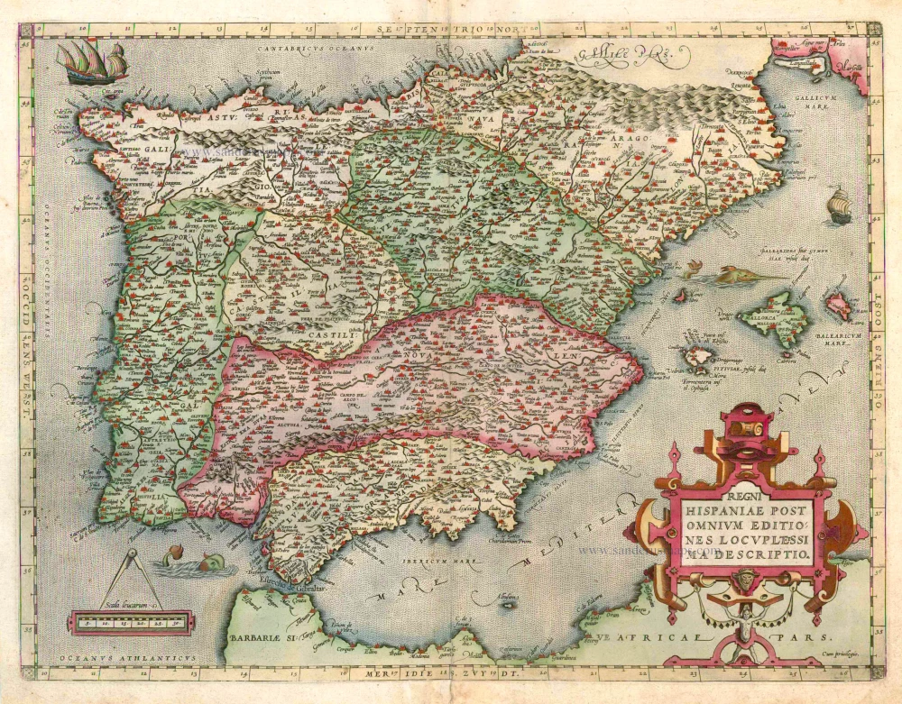
Regni Hispaniae Post Omnium Editiones Locuplessima Descriptio. 1598
Iberian Peninsula (Portugal & Spain), by Abraham Ortelius.
[Item number: 2568]
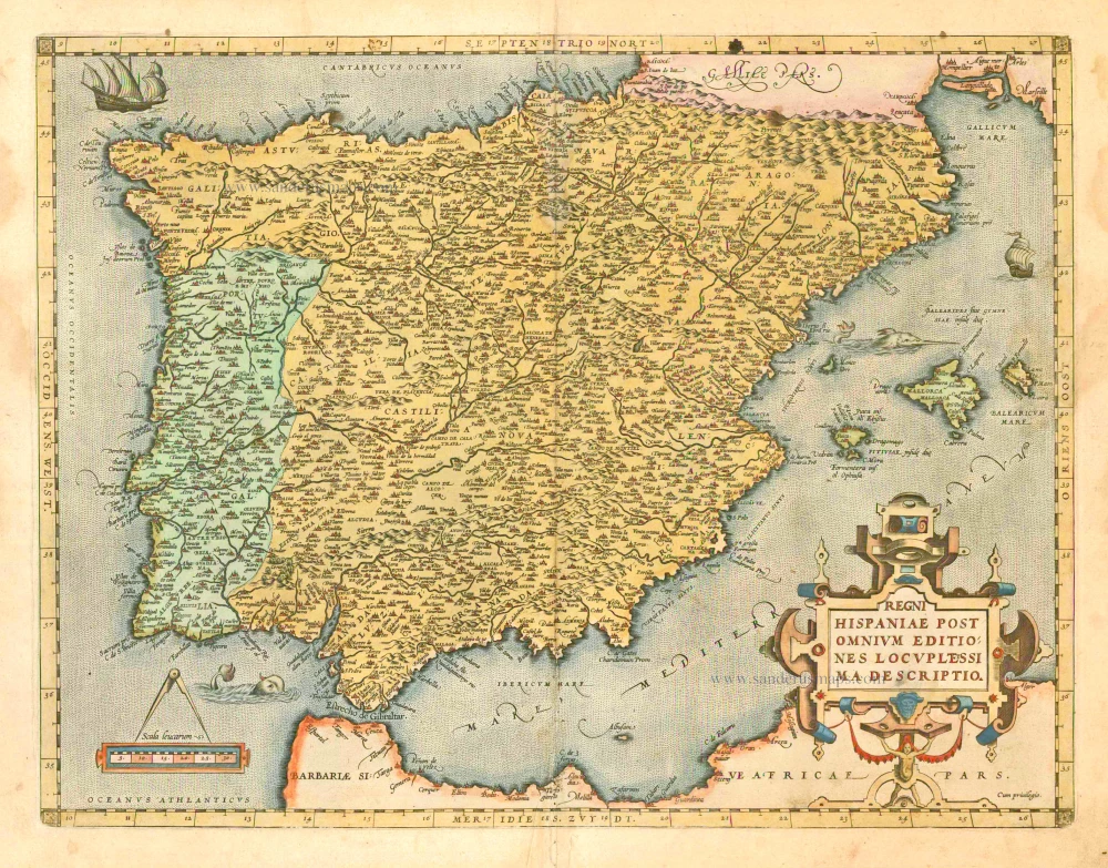
Regni Hispaniae Post Omnium Editiones Locuplessima Descriptio. 1601
Iberian Peninsula (Spain & Portugal), by A. Ortelius.
[Item number: 5727]
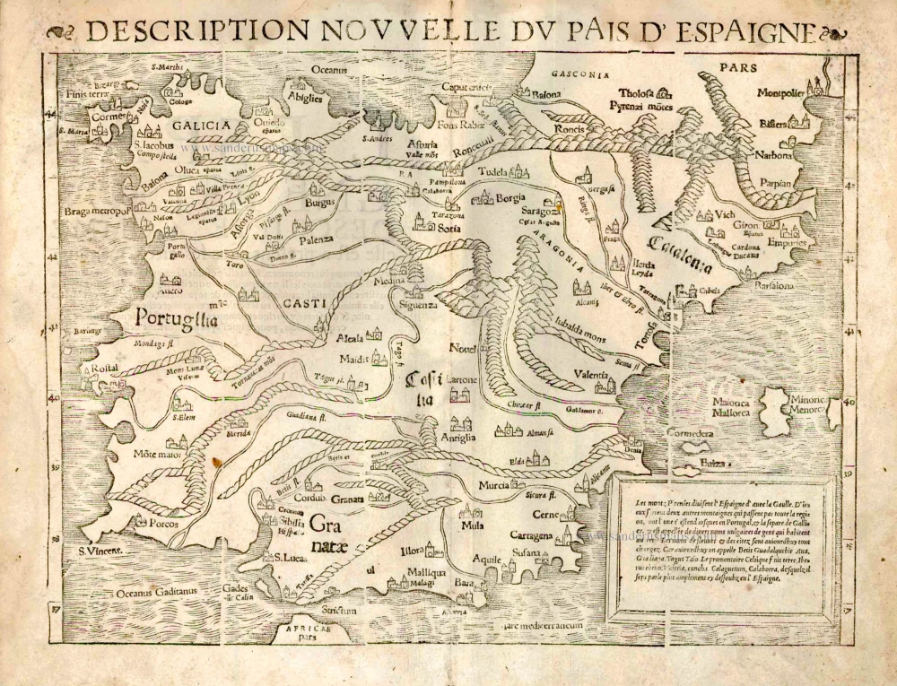
Description Nouvelle du Pais d'Espaigne. 1555
Iberian Peninsula (Spain - Portugal) by S. Munster.
[Item number: 25162]

Typus Hispaniae ab Hesselo Gerardo delineata et juxta annotationes Doctiss. Dni. Don Andreae d'Almada S. Theologiae Publici Professoris apud Coimbricenses emendatus M.DC.XXXI. 1641
The Iberian Peninsula (Spain & Portugal), by Henricus Hondius.
[Item number: 26328]
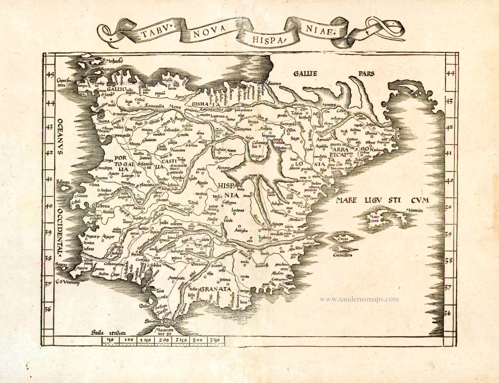
Tabu. Nova Hispaniae. 1535
Iberian Peninsula (Spain and Portugal) by Lorenz Fries.
[Item number: 26762]
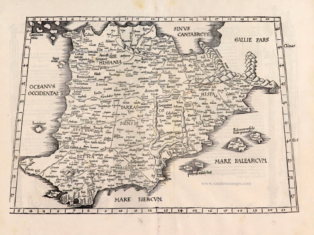
[No title] - [On verso:] Tabula .II. Europae. 1525
Spain & Portugal, by Spain & Portugal.
[Item number: 27956]
Very important map.
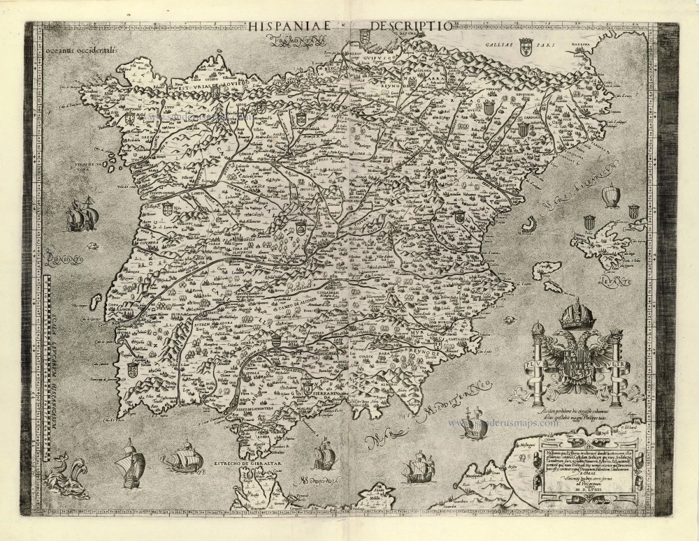
Hispaniae Descriptio. 1559
Iberian Peninsula (Spain & Portugal) by Vincenzo Luchini.
[Item number: 28151]
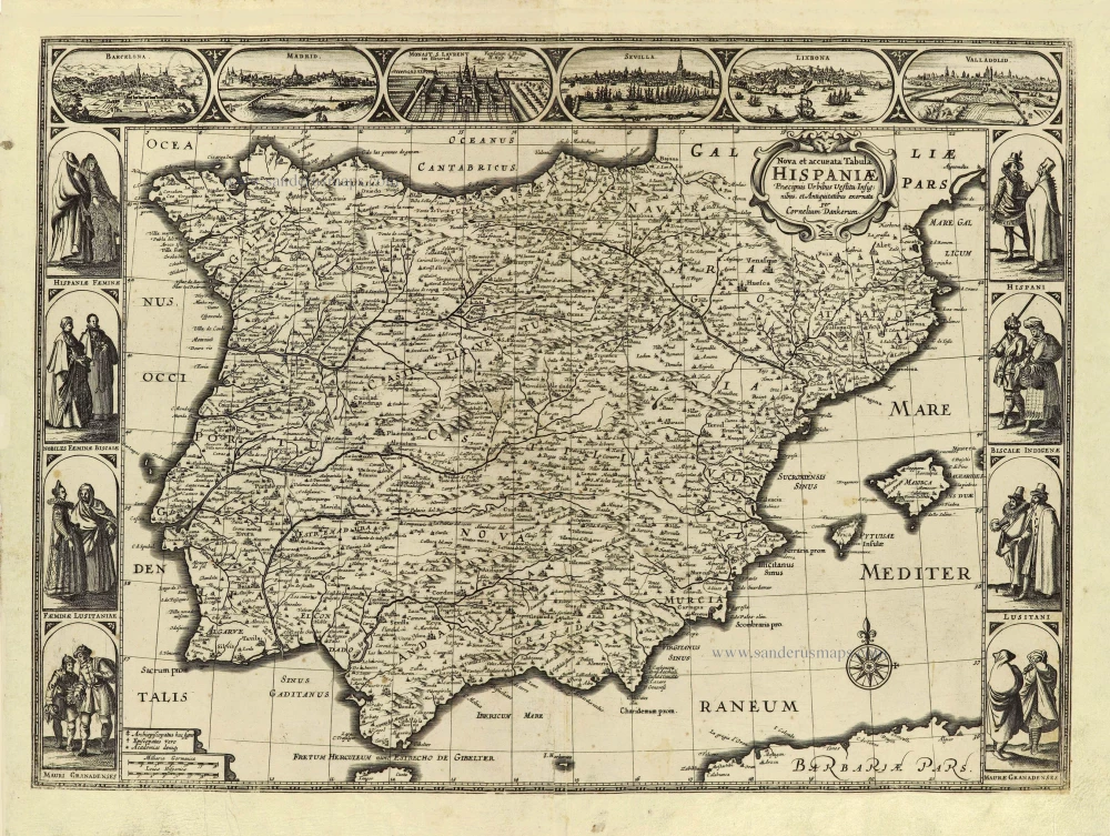
Nova et accurata Tabula Hispaniae Praecipuis Urbibus Vestitu Insignibus et Antiquitatibus exornata. c. 1640
Spain & Portugal (Iberian Peninsula) by Cornelis Danckerts.
[Item number: 28211]
Rare!
Nova Regni Hispaniae Descriptio, de novo multis in locis aucta et emendata. 1605
Spain by Willem Blaeu
[Item number: 28367]
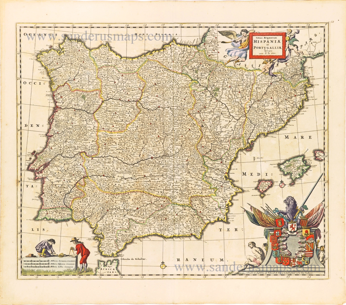
Totius Regnorum Hispaniae et Portugalliae. 1680
Iberian Peninsula (Spain & Portugal) by
[Item number: 28604]
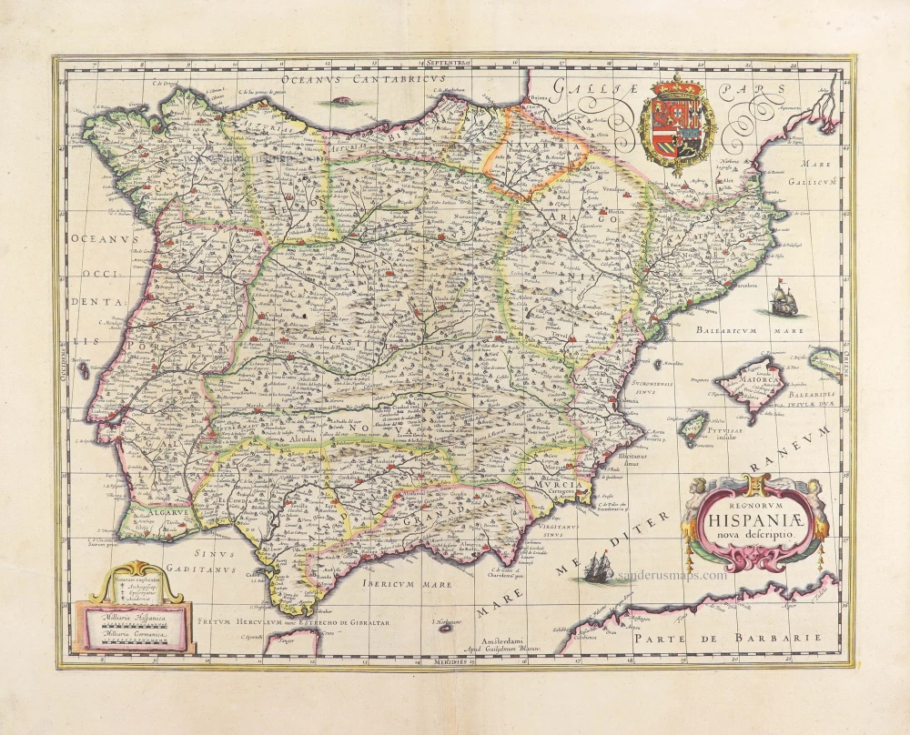
Regnorum Hispaniae nova descriptio. 1635
Iberian Peninsula (Spain & Portugal) by Willem Blaeu.
[Item number: 28729]