
Canada and northern U.S. by Guiilaume Delisle, Philippe Buache, and Jean Claude Dezauche. 1789
The boundaries are inserted in colour to indicate the other possessions; green for the U.S.A., red for England, blue for France and yellow for Spain.
.
Guillaume Delisle (Paris, 1675 – 1726)
Guillaume Delisle (de L’Isle), one of the key figures in the development of French cartography, is the son of Claude Delisle, a cartographer, and the half-brother of astronomers Joseph-Nicolas Delisle and Louis de l'Isle de la Croyère.
While his father has to be given credit for educating Guillaume, the boy showed early signs of being an exceptional talent. He soon contributed to the family workshop by drawing maps for his father's historical works. To perfect his skills, Guillaume Delisle became the student of the astronomer Jean-Dominique Cassini. Early on, he produced high-quality maps, the first being his Carte de la Nouvelle-France et des Pays Voisins in 1696. Delisle's first atlas appeared around 1700, and in 1702 he became a member of the French Académie Royale des Sciences. He taught geography to the young Louis XV, and in 1718 he received the title of Premier Géographe du Roi. On a commission from Peter the Great, he produced a map of the Caspian Sea, a region barely known. Many of the place names he gave are still in use. His Carte de la Louisiane et du cours du Mississippi (1718) is the first detailed map of this region.
A six-year-long plagiarism trial pits Delisle against Jean-Baptiste Nolin, cartographer. It is Nolin, the real plagiarist, who loses.
Delisle has remained famous for his astronomical-based corrections and the completeness of its topography. The high scientific quality of the work produced by the Delisle family contrasted with the workshop of Sanson. While Sanson knowingly published outdated facts and mistakes, Delisle constantly updated his maps to reflect widening knowledge of the world.
Philippe Buache (1700-1773)
One of the foremost French geographers of the 18th century, he was noted for his theoretical cartography.
He was the son-in-law of Guillaume Delisle and inherited Delisle's business and entered the Depôt des Cartes et Plans de Marin in 1721. In 1729 he was appointed "Premier Géographe du Roi". On Buache's death, his widow sold his work to Jean Nicholas Buache de la Neuville, Philippe's nephew, and in 1780 Dezauche bought it from him together with work by Delisle, Jaillot, and others. He, in turn, made his own alterations and improvements to the maps and then re-issued them in a revised form.
Jean Claude Dezauche (1745-1824)
French engraver, geographer, editor and map seller. He was one of the most influential geographer-publishers in the establishment of the French theoretical approach to cartography. He acquired the work of many other geographers and cartographers, including that of Guillaume Delisle and Philippe Buache.
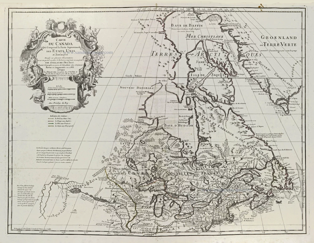
Carte du Canada Qui comprend la Partie Septentrionale des Etats Unis d'Amérique.
Item Number: 28427 Authenticity Guarantee
Category: Antique maps > America > North America
Old, antique map of Canada and northern U.S., by Delisle Guillaume - Philippe Buache - Jean Claude Dezauche.
Title: Carte du Canada Qui comprend la Partie Septentrionale des Etats Unis d'Amérique.
Dressée sur plusieurs Observations et sur un grand nombre de Relations imprimées ou manuscrites.
Par Guillaume DeL'Isle Premier Géographe de l'Académie des Sciences.
Revue et Augmentée en 1783.
A Paris Chez Dezauche successeur des Srs De L'Isle et Buache Rue des Noyers prèss celle des Anglois.
Avec Privilège du Roy.
Date of the first edition: 1703 (= Delisle).
Date of this map: 1789.
Date on map: 1783.
Copper engraving, printed on paper.
Map size: 550 x 655mm (21.65 x 25.79 inches).
Sheet size: 545 x 735mm (21.46 x 28.94 inches).
Verso: Blank.
Condition: Coloured in outline (colours faded), excellent.
Condition Rating: A+.
References: Tooley (America), p.21 #42; Kershaw II p. 279 #315
From: Atlas Géographique et Universel. Paris, J.Cl. Dezauche, 1789.
The boundaries are inserted in colour to indicate the other possessions; green for the U.S.A., red for England, blue for France and yellow for Spain.
.
Guillaume Delisle (Paris, 1675 – 1726)
Guillaume Delisle (de L’Isle), one of the key figures in the development of French cartography, is the son of Claude Delisle, a cartographer, and the half-brother of astronomers Joseph-Nicolas Delisle and Louis de l'Isle de la Croyère.
While his father has to be given credit for educating Guillaume, the boy showed early signs of being an exceptional talent. He soon contributed to the family workshop by drawing maps for his father's historical works. To perfect his skills, Guillaume Delisle became the student of the astronomer Jean-Dominique Cassini. Early on, he produced high-quality maps, the first being his Carte de la Nouvelle-France et des Pays Voisins in 1696. Delisle's first atlas appeared around 1700, and in 1702 he became a member of the French Académie Royale des Sciences. He taught geography to the young Louis XV, and in 1718 he received the title of Premier Géographe du Roi. On a commission from Peter the Great, he produced a map of the Caspian Sea, a region barely known. Many of the place names he gave are still in use. His Carte de la Louisiane et du cours du Mississippi (1718) is the first detailed map of this region.
A six-year-long plagiarism trial pits Delisle against Jean-Baptiste Nolin, cartographer. It is Nolin, the real plagiarist, who loses.
Delisle has remained famous for his astronomical-based corrections and the completeness of its topography. The high scientific quality of the work produced by the Delisle family contrasted with the workshop of Sanson. While Sanson knowingly published outdated facts and mistakes, Delisle constantly updated his maps to reflect widening knowledge of the world.
Philippe Buache (1700-1773)
One of the foremost French geographers of the 18th century, he was noted for his theoretical cartography.
He was the son-in-law of Guillaume Delisle and inherited Delisle's business and entered the Depôt des Cartes et Plans de Marin in 1721. In 1729 he was appointed "Premier Géographe du Roi". On Buache's death, his widow sold his work to Jean Nicholas Buache de la Neuville, Philippe's nephew, and in 1780 Dezauche bought it from him together with work by Delisle, Jaillot, and others. He, in turn, made his own alterations and improvements to the maps and then re-issued them in a revised form.
Jean Claude Dezauche (1745-1824)
French engraver, geographer, editor and map seller. He was one of the most influential geographer-publishers in the establishment of the French theoretical approach to cartography. He acquired the work of many other geographers and cartographers, including that of Guillaume Delisle and Philippe Buache.
Related items
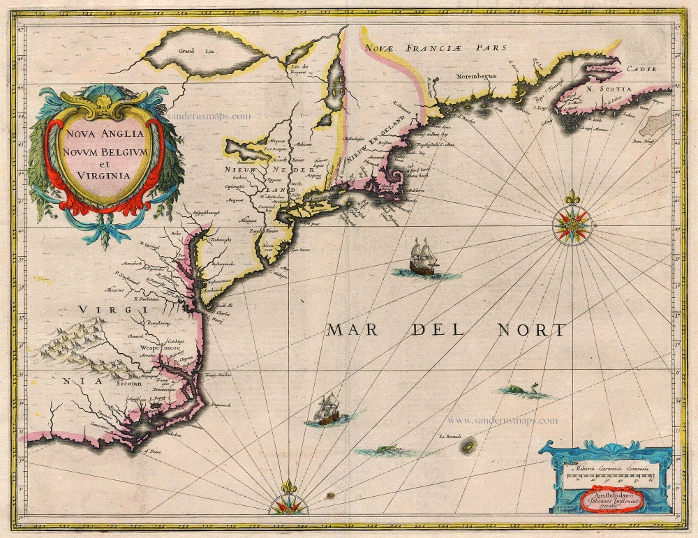
Nova Anglia Novum Belgium et Virginia 1638
United States (Northeast) by Janssonius J.
[Item number: 19011]
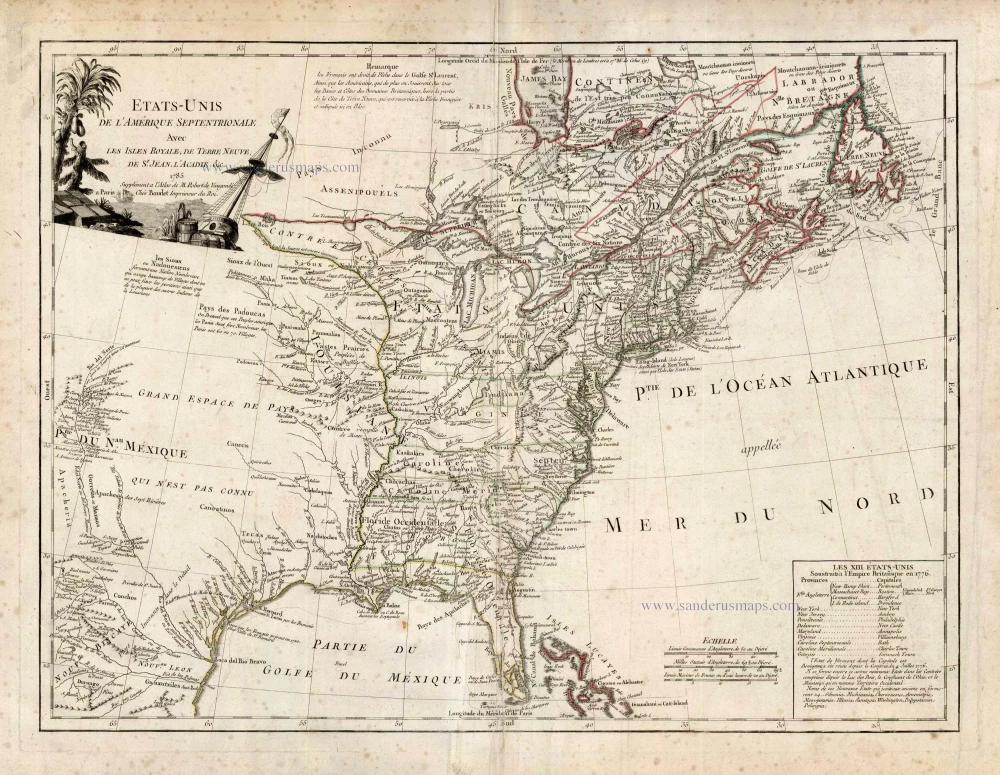
Etats-Unis de l'Amerique Septentrionale avec les Isles Royale, de Terre Neuve de St. Jean, l'Acadie &c. 1786
United States (East) by Boudet A. - de Vaugondy R.
[Item number: 25265]
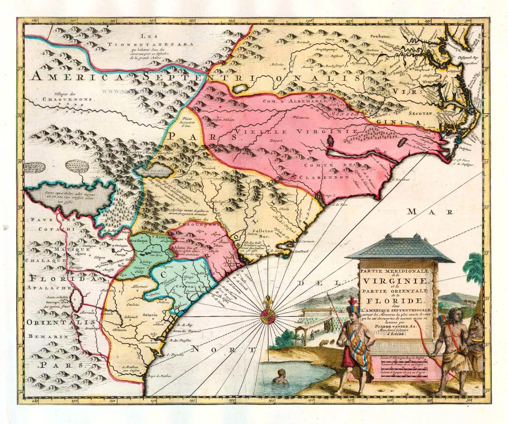
Partie Meridionale de la Virginie, et la Partie Orientale de la Floride dans l'Amerique Septentrionale. 1713
Carolina by Pieter van der Aa.
[Item number: 26137]
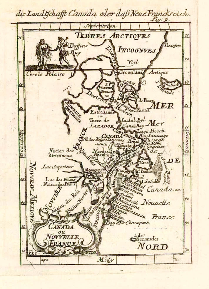
Canada ou Nouvelle France. 1685
North America (Northeast), by A.M. Mallet.
[Item number: 26601]
Amerique Septentrionale. 1685
North America, by A.M. Mallet.
[Item number: 26643]
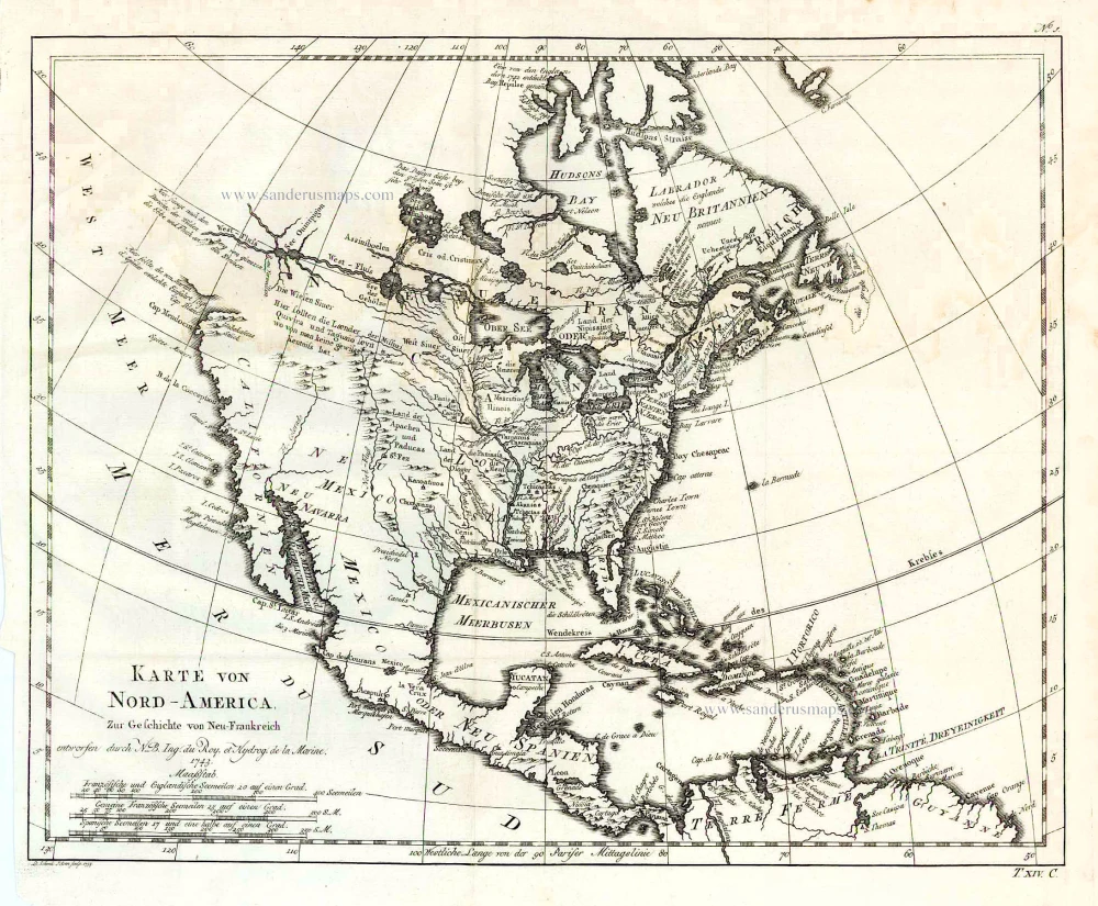
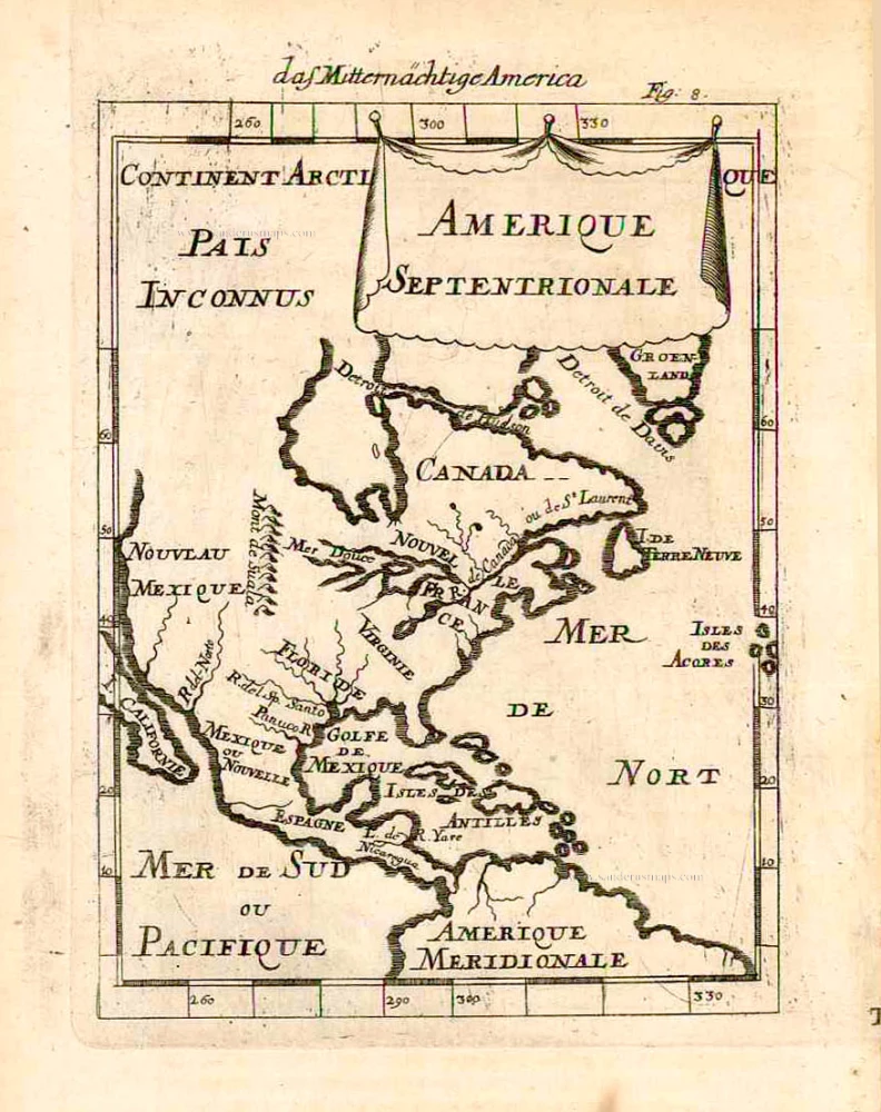
Karte von Nord-America, zur Geschichte von Neu-Frankreich. 1747-74
North America, by Jacques Nicolas Bellin.
[Item number: 26799]
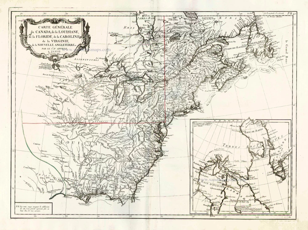
Carte Générale du Canada, de la Louisiane, de la Floride, de la Caroline, de la Virginie, de la Nouvelle Angleterre etc. 1776-79
North America (East), by Paolo Santini.
[Item number: 26980]
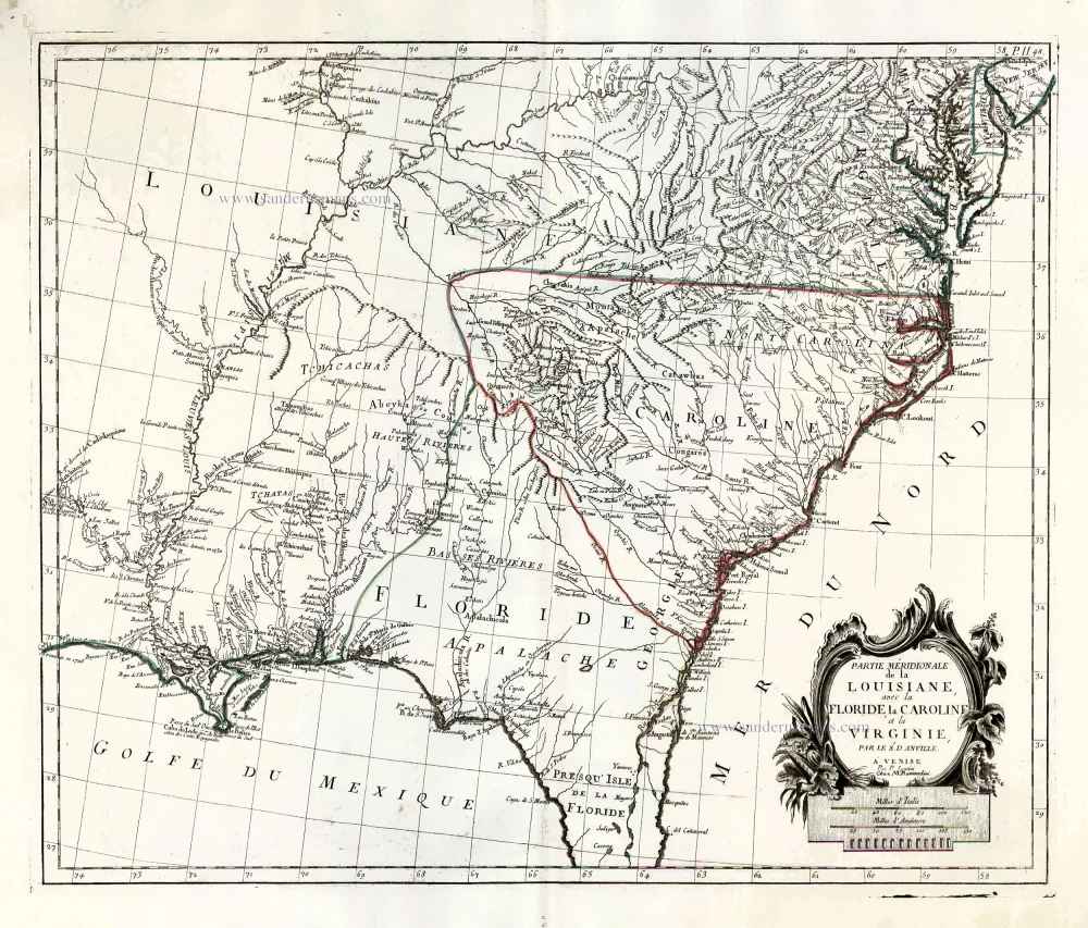
Partie Méridionale de la Louisiane, avec la Floride, la Caroline et la Virginie. 1776-79
The United States (Southeast), by Francesco Santini.
[Item number: 26983]
Earliest obtainable map of North America
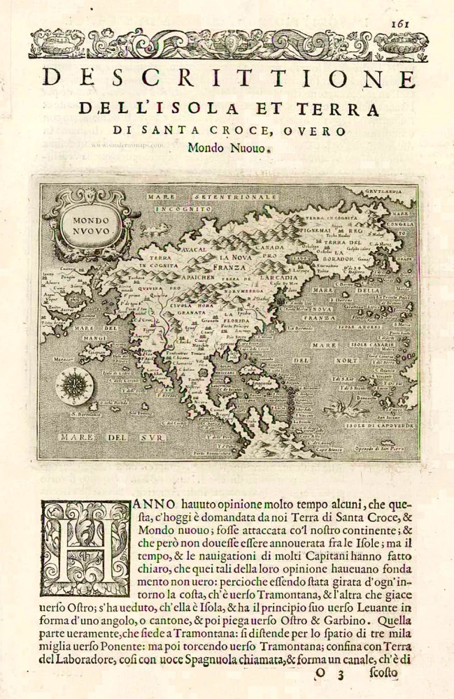
Mondo Nuovo - Descrittione del l'Isola et Terra di Sancta Croce, overo Mondo Nuovo. 1576
North America, by Tomaso Porcacchi.
[Item number: 27651]

Early 'Texas' map
Nueva Hispania Tabula Nova. 1574
North America, by Girolamo Ruscelli.
[Item number: 27755]
the most comprehensive and up-to-date map published by the French before the fall of New France in 1760
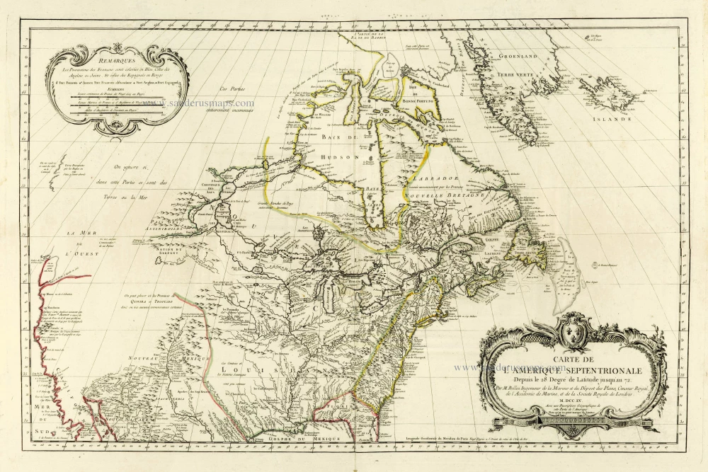
Carte de L'Amerique Septentrionale Depuis to 28. Degré de Latitude Jusqu'au 72. 1756-1770
North America, by J.N. Bellin.
[Item number: 28146]
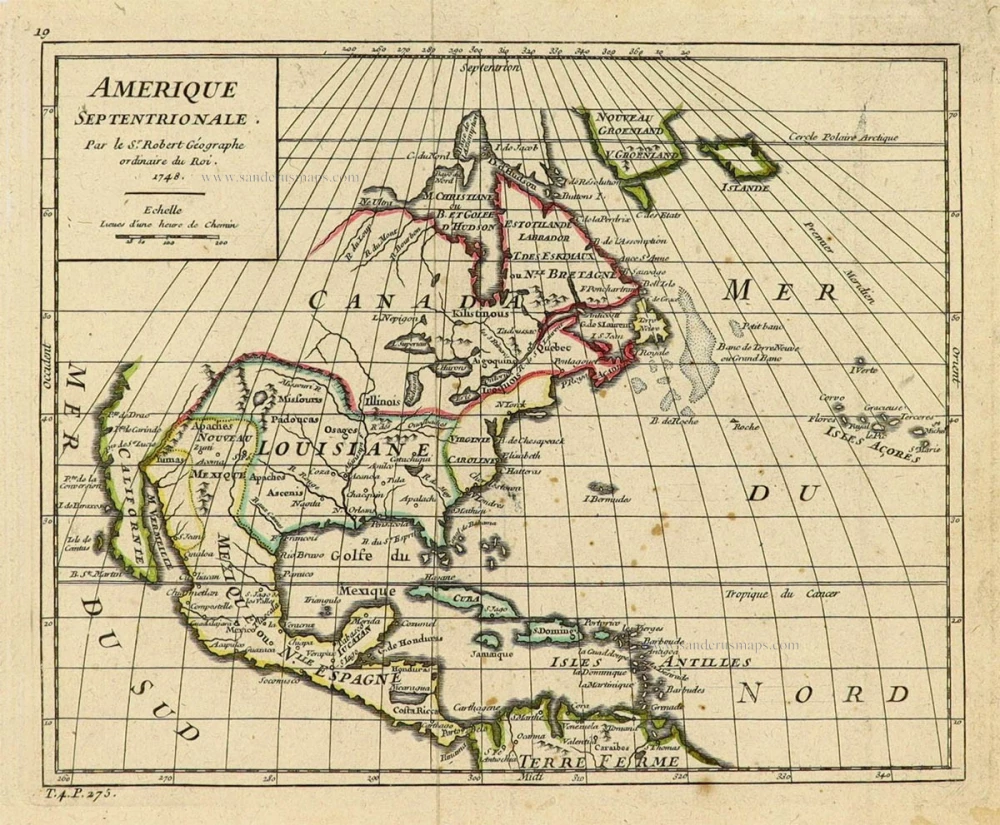
Amerique Septentrionale. 1748
North America by Robert de Vaugondy.
[Item number: 28157]

Septemtrionaliora Americae à Groenlandia, per Freta Davidis et Hudson, ad Terram Novam = De Noordelyckste Zee kusten van America van Goenland door de Straet Davis ende Straet Hudson tot Terra Neuf. c. 1690
North-Eastern Coasts of North America (Canada), by Frederick de Wit.
[Item number: 29242]
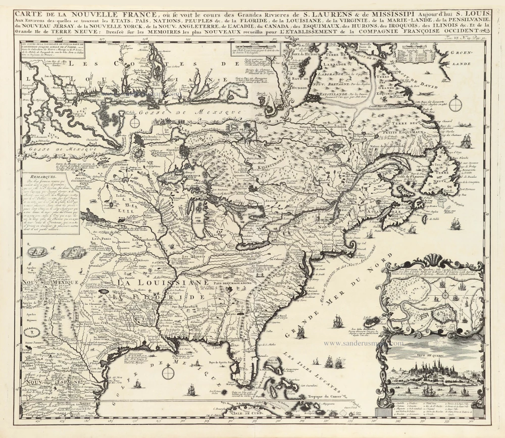
Carte de la Nouvelle France, ou se Voit le Cours des Grandes Rivieres de S. Laurens & de Mississipi Aujourd'hui S. Louis, Aux environs des quelles se trouvent les Etats, Païs, Nations, Peuples &c. de la Floride, de la Louisiane, de la Virginie, de la Marie-Lande, de la Pensilvanie, du Nouveau Jersay, de la Nouvelle Yorck, de la Nouv. Angleterre, de l'Acadie, du Canada, des Esquimaux, des Hurons, des Iroquois, des Ilinois &c. Et de la Grande Ile de Terre Neuve:. 1719
Eastern North America (U.S.), by Zacharias Châtelain.
[Item number: 29365]
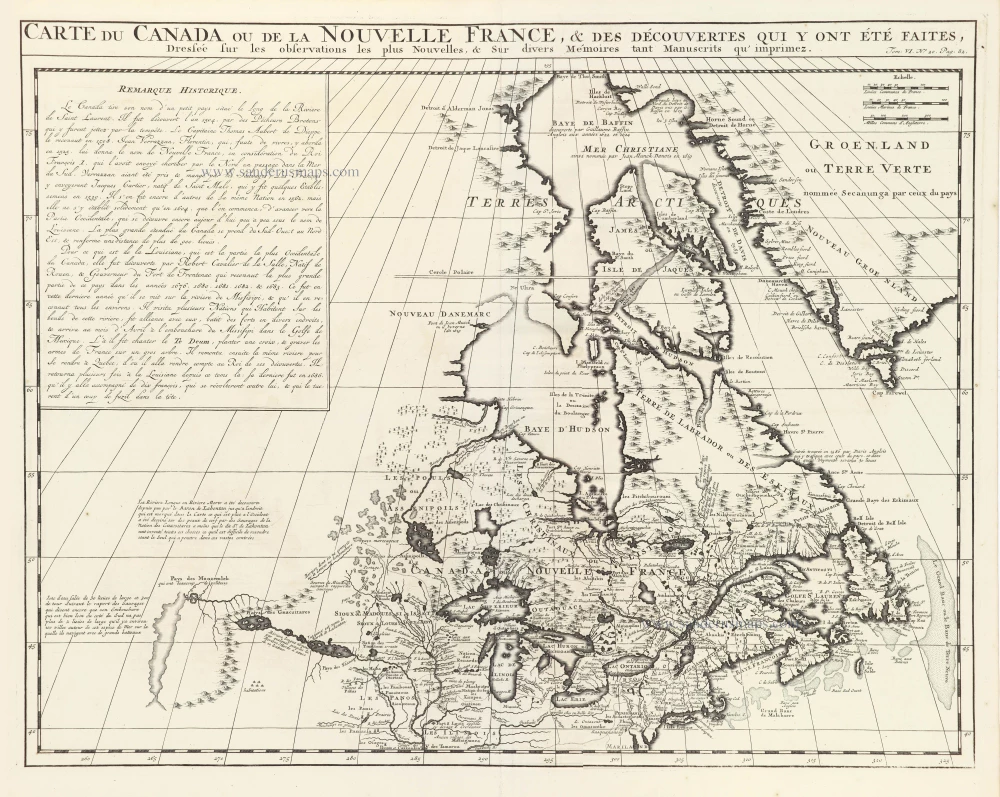
Carte du Canada ou de la Nouvelle France, & des découvertes qui y ont été faites, 1719
Canada, by Zacharias Châtelain.
[Item number: 29367]