
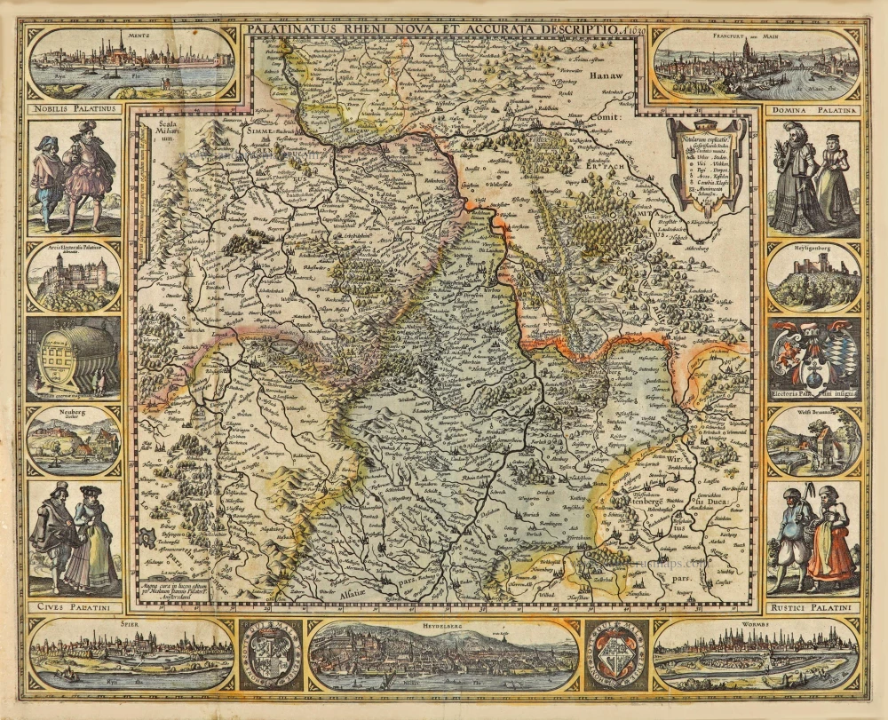
Rheinland-Pfalz by Nicolaes Visscher I. 1656-80
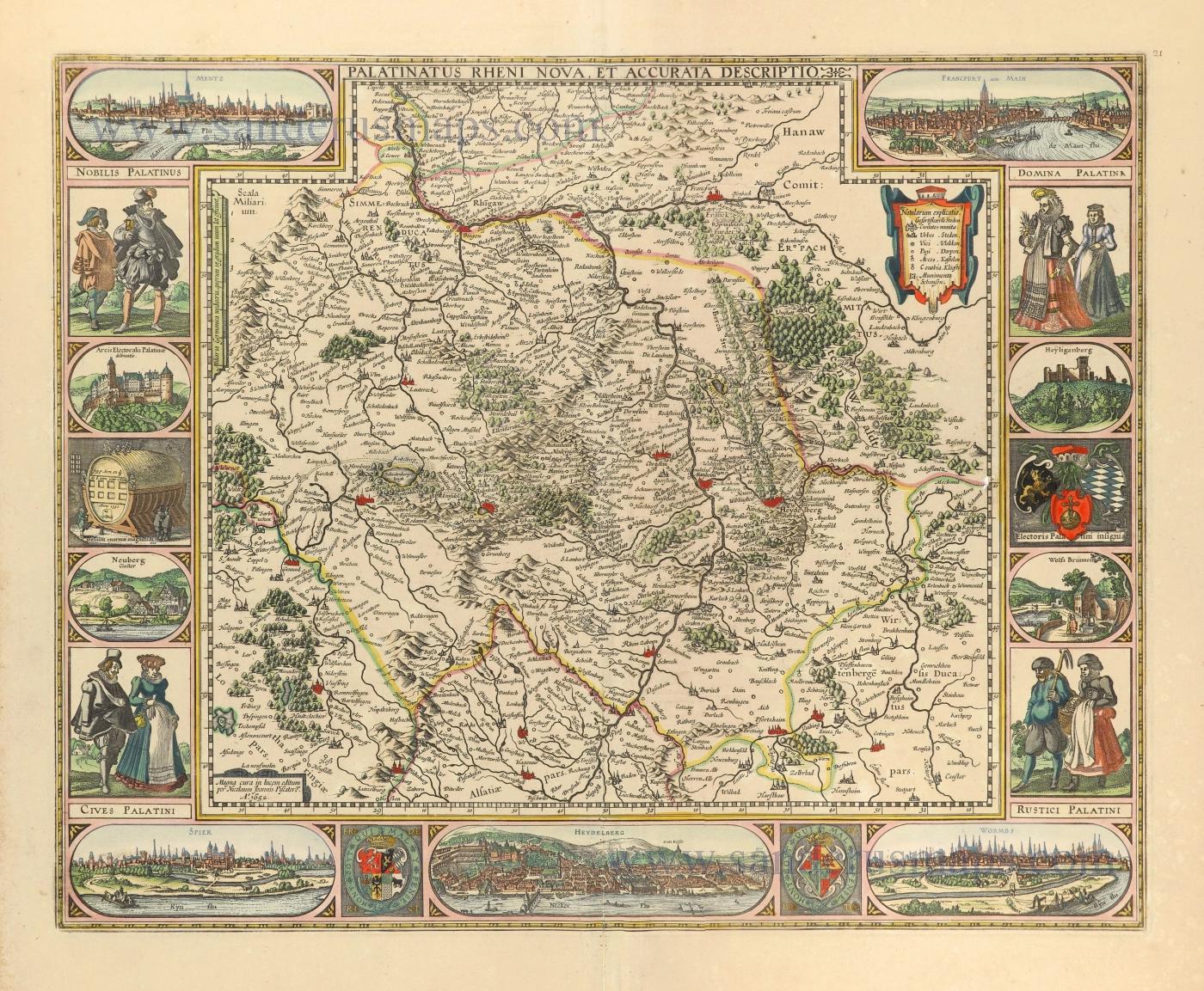
Visscher's map of the Palatinate of the Rhine is one of the many cartographical products created during the Bohemian-Palatine War (1620/21).
The title runs along the centre of the upper edge of the map, surrounded by the views of Mainz and Frankfurt in the top corners, which extend into the map area.
The map is framed at the sides and bottom by costumed figures, town views, coats of arms and the cask of Heidelberg.
The town views are based on depictions in the Civitates Orbis Terrarum, 1572, by Braun and Hogenberg.
Palatinatus Rheni Nova et Accurata Descriptio.
Item Number: 28592 Authenticity Guarantee
Category: Antique maps > Europe > Germany
Old, antique map of Rheinland-Pfalz, by Nicolaes Visscher I.
Title: Palatinatus Rheni Nova et Accurata Descriptio.
Magna cura in lucem editum per Nicolaum Joannis Piscatore.
A°. 1652.
Engraver: Claes Jansz Visscher.
Date of the first edition: 1621.
Date of this map: 1656-80.
Date on map: 1652.
Copper engraving, printed on paper.
Map size: 445 x 553mm (17.52 x 21.77 inches).
Sheet size: 540 x 615mm (21.26 x 24.21 inches).
Verso: Blank.
Condition: Original coloured, lower centerfold reinforced.
Condition Rating: A
References: Schilder 6, 49.5 - Fifth state, 1652.
From: Atlas Contractus Orbis Terrarum Praecipuas ac Novissimas Complectens Tabulas. Amsterdam, N. Visscher, 1656-80. (Koeman III, Vis5-8)
Visscher's map of the Palatinate of the Rhine is one of the many cartographical products created during the Bohemian-Palatine War (1620/21).
The title runs along the centre of the upper edge of the map, surrounded by the views of Mainz and Frankfurt in the top corners, which extend into the map area.
The map is framed at the sides and bottom by costumed figures, town views, coats of arms and the cask of Heidelberg.
The town views are based on depictions in the Civitates Orbis Terrarum, 1572, by Braun and Hogenberg.
Related items
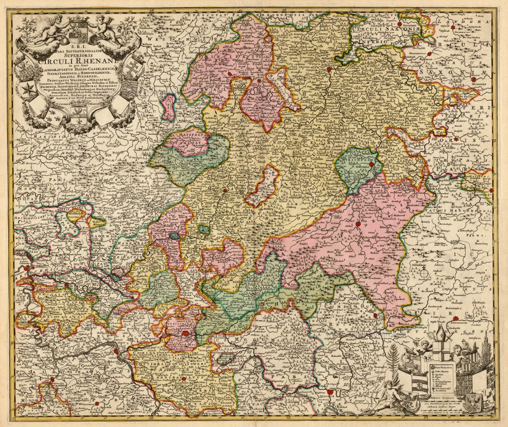
S.R.I. Pars Septentrionalor Superioris Circuli Rhenani, c. 1715
Rheinland-Pfalz, by Frederick de Wit - Covens & Mortier.
[Item number: 1265]
Scarce
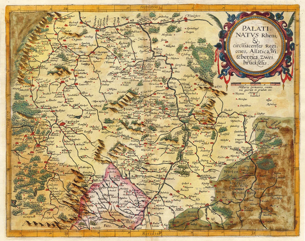
Palatinatus Rheni & Circumiacentes Regiones, Alsatica, Witebergica, Zweibruckselis 1593
Rheinland-Pfalz by Gerard de Jode.
[Item number: 5335]
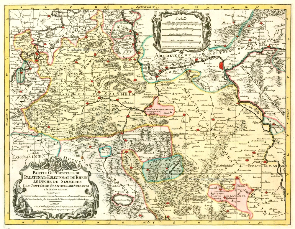
Partie Occidentale du Palatinat et Eslectorat du Rhein Le Duché de Simmeren, Les Comtés de Spanheim et de Veldentz à la Maison Palatine. 1710
Rheinland-Pfalz, by Covens & Mortier.
[Item number: 23829]
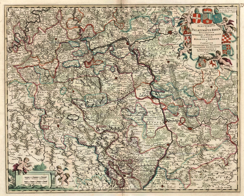
Electoratus et Palatinatus Rheni Episcopatuum Spirensis et Wormacensis Ducatuum Bipontii et Simmerae et Comitatuum Sponheimensis Veldensis Leiningensis Bircofeldensis et Rhenograviorum etc. c. 1680
Rheinland-Pfalz by Frederik De Wit.
[Item number: 24426]
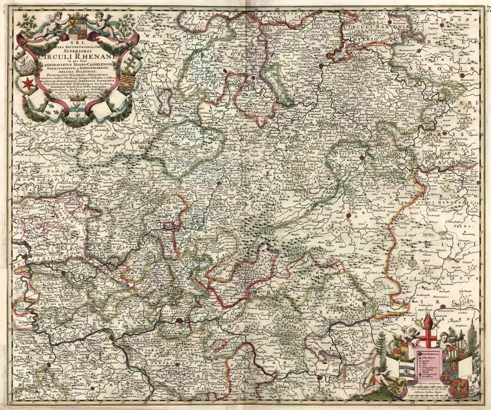
S.R.I. Pars Septentrionalor Superioris Circuli Rhenani, ... c. 1680
Rheinland-Pfalz, by F. De Wit.
[Item number: 10613]
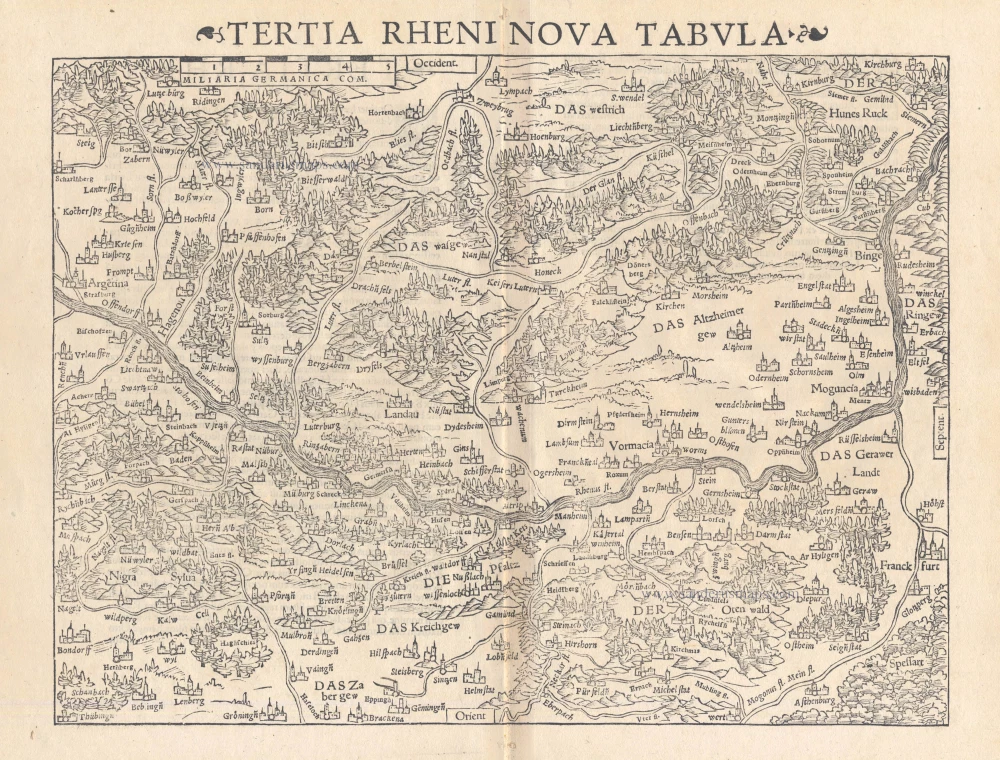
Tertia Rheni Nova Tabula 1542
Rheinland-Pfalz, by Sebastian Münster.
[Item number: 15390]
Palatinatus Rheni Nova et Accurata Descriptio. A° 1630. 1630
Rheinland-Pfalz, by Claes Jansz. Visscher.
[Item number: 28024]
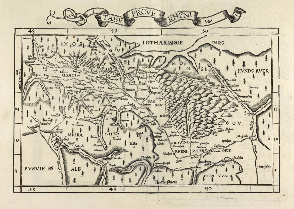
Tabu Provi. Rheni. 1525
Rheinland-Pfalz (Lorraine on verso) by Lorenz Fries.
[Item number: 28200]

Exactissima Tabula Sedis Belli Palatinatus ad Rhenum, Vormaciensis et Spirensis Episcopatus, Bipontini Ducatus; sed etiam plurimae Moguntini Archiepiscopatus, et aliae adjacentes et insertae Regiones, distincte ostenduntur. c. 1716.
Rheinland-Pfalz by Nicolas Visscher II.
[Item number: 29657]
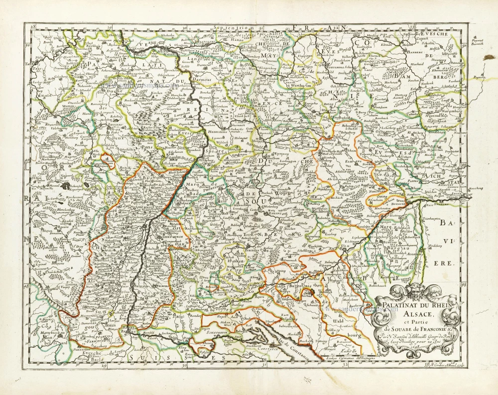
Palatinat du Rhein, Alsace, et Partie de Souabe de Franconie &c. 1652
Rheinland-Pfalz by Nicolas Sanson.
[Item number: 29696]