
Rare!
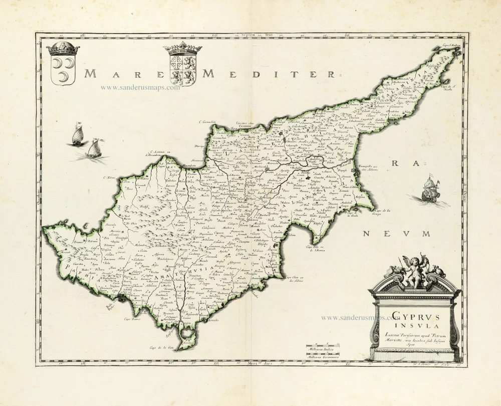
Cyprus by Pierre Moullart-Sanson. 1718
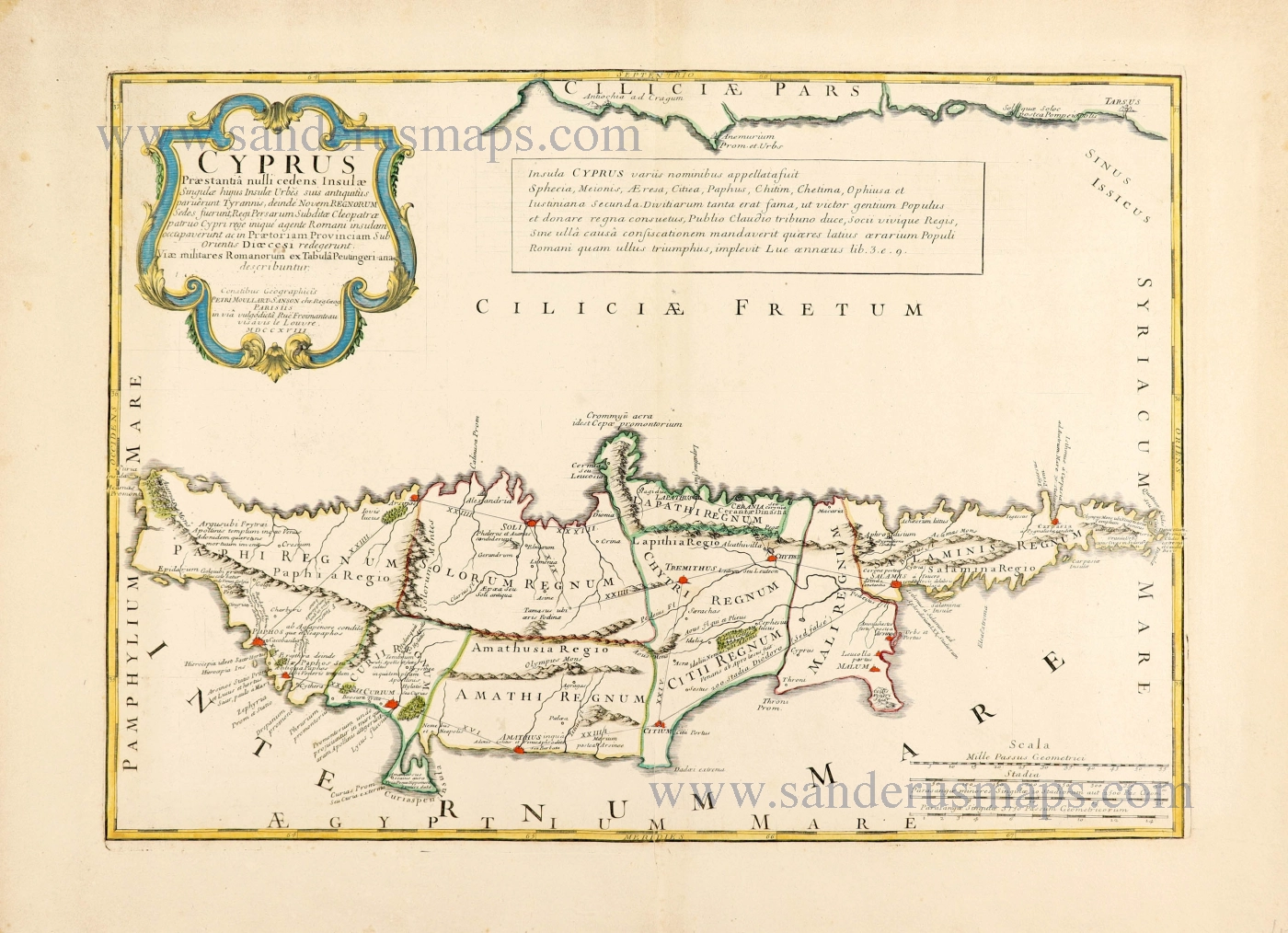
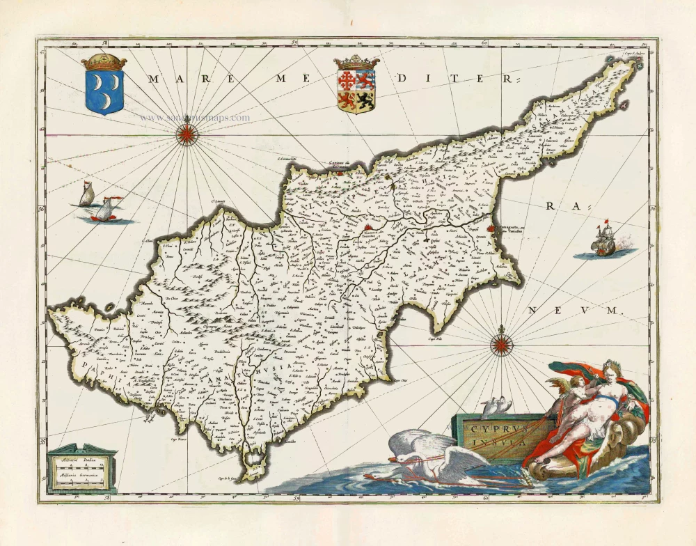
This map of Cyprus denotes the geographical areas of nine Cypriot kingdoms, Amathus, Chytroi, Kition, Kourion, Lapethos, Marion, Paphos, Salamis, and Soloi. This map is the only source, probably Greek, for this ancient information. Its hypothetical composition of the territory of each kingdom resulted from the investigation and interpretation of various historical sources from antiquity, including Herodotus' Histories and the works of Diodorus the Sicilian. Moullart-Sanson also used information drawn from two ancient cartographers, Ptolemy and Strabo. In the middle of the 4th century, the kingdoms of Cyprus are usually listed as ten, including Marium, Tamassus and Kerynia, which Moullart-Sanson omits and adds Chytri and Mali instead.
His Roman roads connecting the main towns borrowed from theTabula Peutingeriana are also modified.
The rest of the contents of the map are worth studying in detail. They are mainly based on Strabo and Ptolemy, but there are also some original suggestions by Moullart-Sanson himself. For example, he marks the ancient city of Asine in the kingdom of Soli, which is correct. However, other cartographers keep it as of unknown position on their "ancient" maps (Ortelius and others), although it is marked as a village in the corrupted form of Asimion on their ordinary maps.
Moullart-Sanson also adapted the Ptolemaic latitude and longitude to his map. (Stylianou)
SANSON FAMILY
Nicolas Sanson (1600-1667) - Guillaume Sanson (1633-1703) - Pierre Moullart-Sanson (? -1730)
Originally from Abbeville, Nicolas I Sanson showed a keen interest in historical geography. He was still very young; he published a map of ancient Gaul and two treatises, Britannia and Portus Itius on Abbeville and Boulogne's origins. His meeting with Melchior Tavernier was decisive: it prompted him to give up his duties as a military engineer in Picardy and devote himself to engraved cartography.
At the same time, Sanson had drawn up the outline of modern France. He got the help of Tavernier, who encouraged him to compete with the Dutch map publishers. Tavernier contacted other French cartographers whose works he published.
From 1643, N. Sanson obtained a privilege to publish a work personally, the Princes souverains de l'Italie. Then, in 1644 and 1645, he had his famous geographical tables printed, which significantly contributed to his fame. He also published a series of atlases in quarto of the four continents.
In 1648, N. Sanson associated himself with Mariette to publish atlases. From then on, specific maps bore his name and others Mariette's. N. Sanson and Mariette worked together for more than 20 years. After the death of N. Sanson, Mariette acquired the entire fund. Since Mariette only wanted to publish complete atlases, individual maps were no longer sold, and some army generals complained to the king.
The disagreement between the Sanson family and Pierre II Mariette culminated in 1671 when Guillaume Sanson took the case to court. There was no longer any question of collaboration: Guillaume Sanson started working for another publisher, Alexis-Hubert Jaillot.
The Sanson family faced financial difficulties, and in 1692, their cousin, Pierre Moullart-Sanson, bought the entire geographic fund from his uncles and aunt. Pierre Moullart-Sanson was the son of Françoise Sanson (third child of Nicolas) and Pierre Moullart. He restarted the publishing of Sanson's world atlas, and in 1704 he acquired a privilege for publishing all the works of Nicolas and Guillaume Sanson, which continued to be published until 1730.
Cyprus Praestantia nulli cedens Insulae.
Item Number: 28632 Authenticity Guarantee
Category: Antique maps > Asia > Turkey - Cyprus
Scarce antique map of Cyprus, by Petrus Moullart-Sanson.
Title: Cyprus Praestantia nulli cedens Insulae.
Singulae hujus Insulae Urbes suis antiquitus paruerunt Tyrannis, deindé, Novem Rgenorum Sedes fuerunt, Regi Persarum Subditae Cleopatrae patruo Cypri rege iniqué agente Romani insulam occupaverunt ac in Praetoriam Provinciam Sub Orientis Dioecesi redegerunt.
Viae militares Romanorum ex Tabula Peutingeriana describuntur
Conatibus Geographicis Petri Moullart-Sanson chr.Reg.Geog. Parisiis in via vulgodicta Rue Froimanteau visàvis le Louvre. MDCCXVIII.
Copper engraving, printed on paper.
Map size: 345 x 490mm (13.58 x 19.29 inches).
Sheet size: 450 x 600mm (17.72 x 23.62 inches).
Verso: Blank.
Condition: Original coloured in outline, excellent.
Condition Rating: A+.
References: Stylianou, 129
Separate publication.
This map of Cyprus denotes the geographical areas of nine Cypriot kingdoms, Amathus, Chytroi, Kition, Kourion, Lapethos, Marion, Paphos, Salamis, and Soloi. This map is the only source, probably Greek, for this ancient information. Its hypothetical composition of the territory of each kingdom resulted from the investigation and interpretation of various historical sources from antiquity, including Herodotus' Histories and the works of Diodorus the Sicilian. Moullart-Sanson also used information drawn from two ancient cartographers, Ptolemy and Strabo. In the middle of the 4th century, the kingdoms of Cyprus are usually listed as ten, including Marium, Tamassus and Kerynia, which Moullart-Sanson omits and adds Chytri and Mali instead.
His Roman roads connecting the main towns borrowed from theTabula Peutingeriana are also modified.
The rest of the contents of the map are worth studying in detail. They are mainly based on Strabo and Ptolemy, but there are also some original suggestions by Moullart-Sanson himself. For example, he marks the ancient city of Asine in the kingdom of Soli, which is correct. However, other cartographers keep it as of unknown position on their "ancient" maps (Ortelius and others), although it is marked as a village in the corrupted form of Asimion on their ordinary maps.
Moullart-Sanson also adapted the Ptolemaic latitude and longitude to his map. (Stylianou)
SANSON FAMILY
Nicolas Sanson (1600-1667) - Guillaume Sanson (1633-1703) - Pierre Moullart-Sanson (? -1730)
Originally from Abbeville, Nicolas I Sanson showed a keen interest in historical geography. He was still very young; he published a map of ancient Gaul and two treatises, Britannia and Portus Itius on Abbeville and Boulogne's origins. His meeting with Melchior Tavernier was decisive: it prompted him to give up his duties as a military engineer in Picardy and devote himself to engraved cartography.
At the same time, Sanson had drawn up the outline of modern France. He got the help of Tavernier, who encouraged him to compete with the Dutch map publishers. Tavernier contacted other French cartographers whose works he published.
From 1643, N. Sanson obtained a privilege to publish a work personally, the Princes souverains de l'Italie. Then, in 1644 and 1645, he had his famous geographical tables printed, which significantly contributed to his fame. He also published a series of atlases in quarto of the four continents.
In 1648, N. Sanson associated himself with Mariette to publish atlases. From then on, specific maps bore his name and others Mariette's. N. Sanson and Mariette worked together for more than 20 years. After the death of N. Sanson, Mariette acquired the entire fund. Since Mariette only wanted to publish complete atlases, individual maps were no longer sold, and some army generals complained to the king.
The disagreement between the Sanson family and Pierre II Mariette culminated in 1671 when Guillaume Sanson took the case to court. There was no longer any question of collaboration: Guillaume Sanson started working for another publisher, Alexis-Hubert Jaillot.
The Sanson family faced financial difficulties, and in 1692, their cousin, Pierre Moullart-Sanson, bought the entire geographic fund from his uncles and aunt. Pierre Moullart-Sanson was the son of Françoise Sanson (third child of Nicolas) and Pierre Moullart. He restarted the publishing of Sanson's world atlas, and in 1704 he acquired a privilege for publishing all the works of Nicolas and Guillaume Sanson, which continued to be published until 1730.
Related items
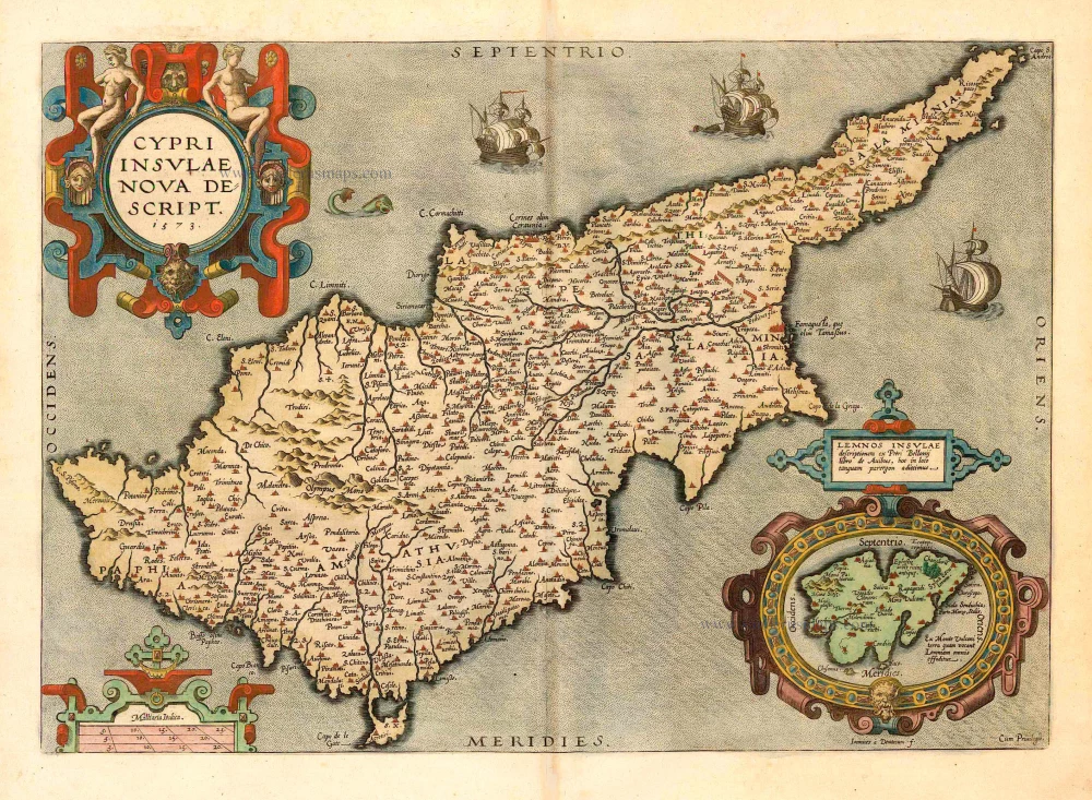
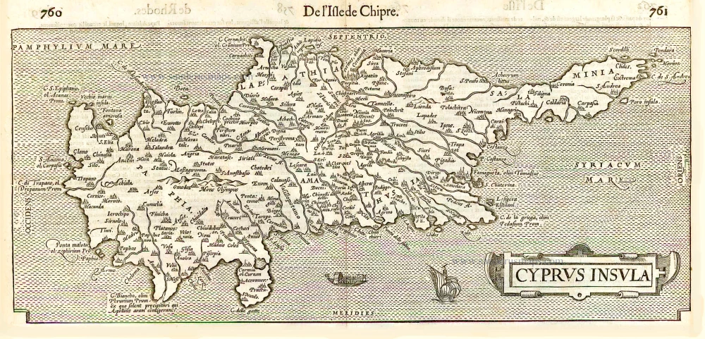
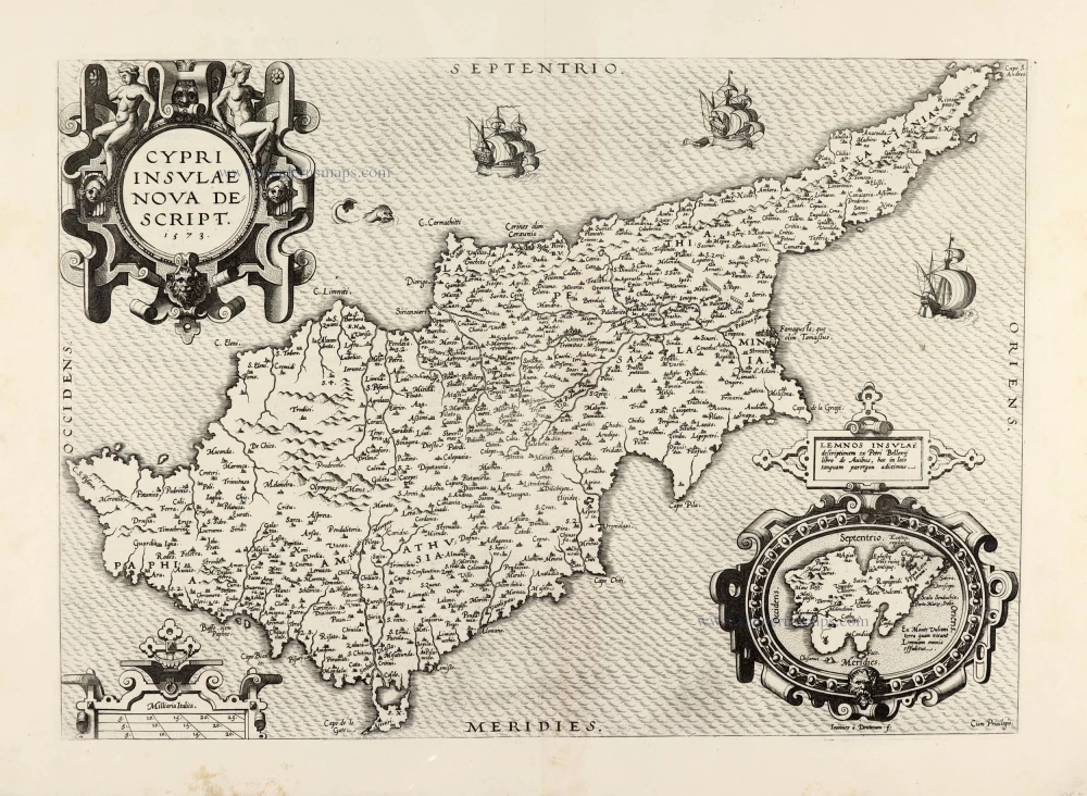
Cypri Insulae Nova Descript. 1573 1592
Cyprus, by Ortelius A.
[Item number: 22955]
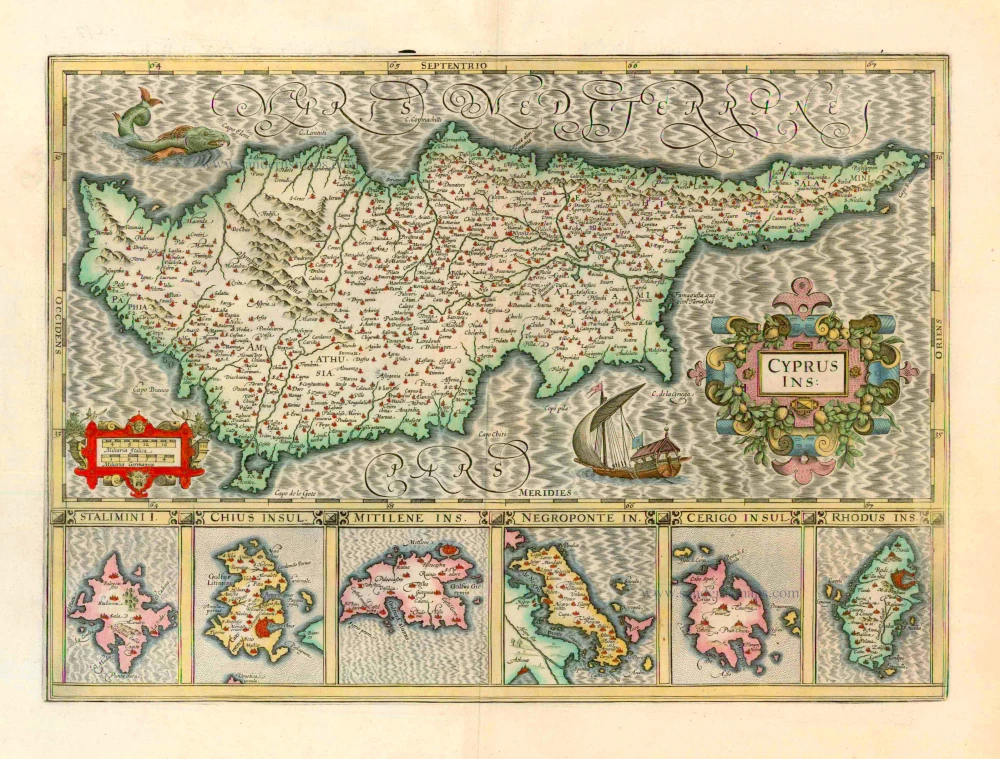
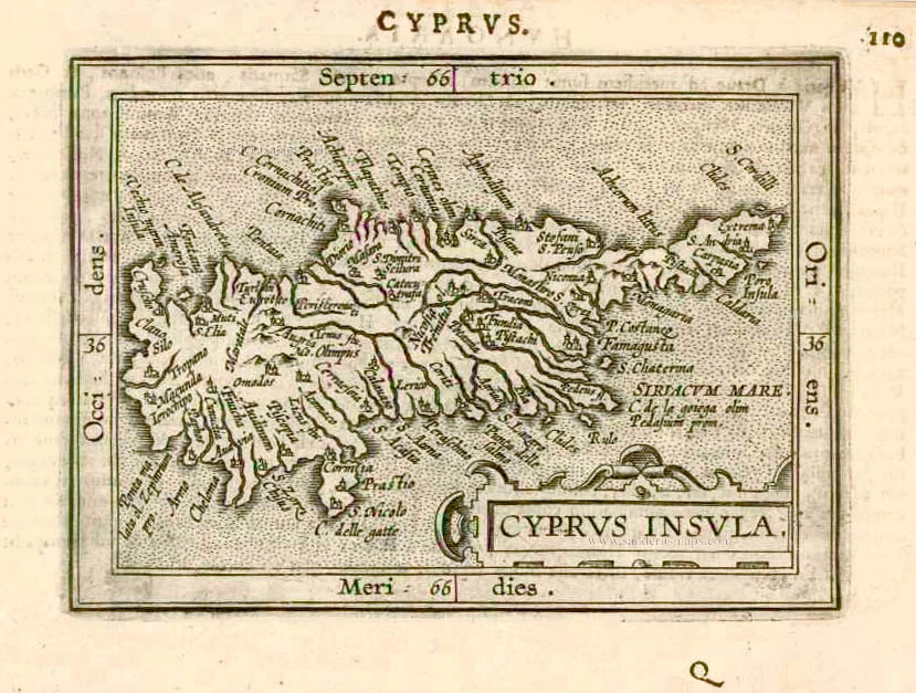
Cyprus Ins: 1633
Cyprus, by Jodocus Hondius.
[Item number: 24436]
Parergon map
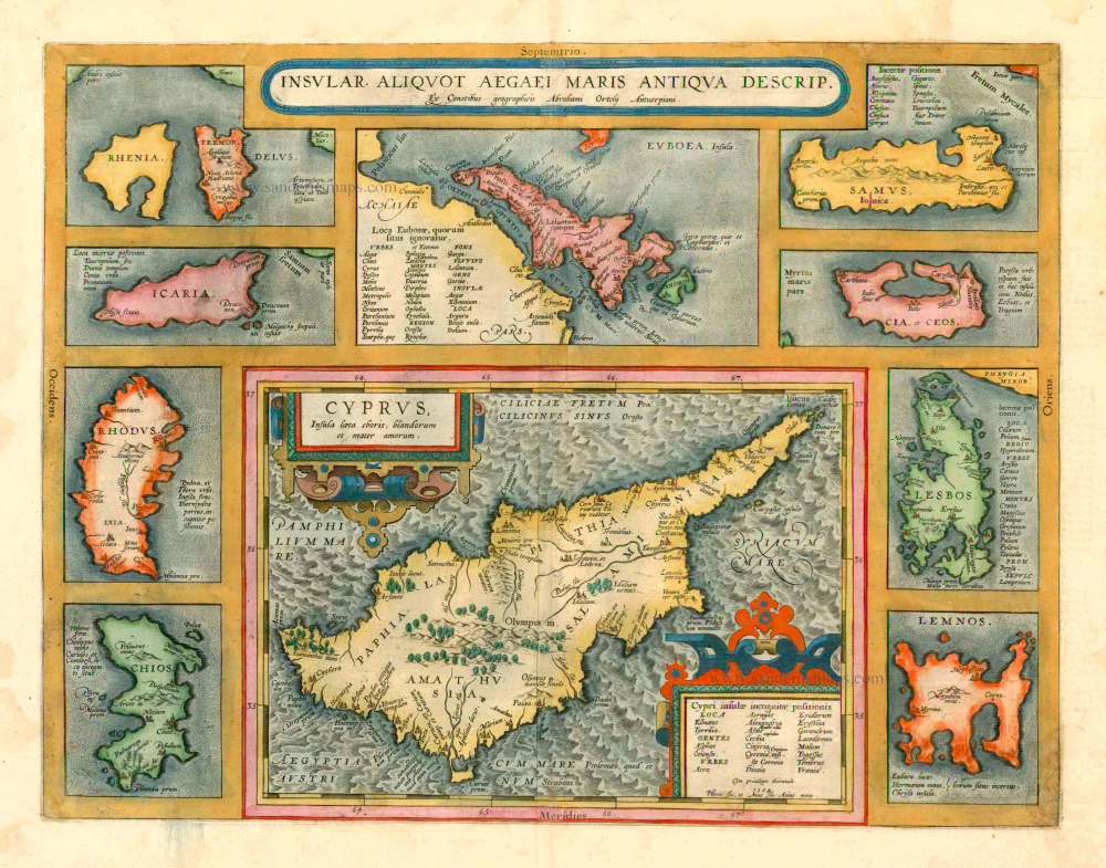
Insular. aliquot Aegaei Maris Antiqua Descrip. 1601
Cyprus & other Greek Islands by Abraham Ortelius.
[Item number: 12452]

Cyprus Insula - Candia, olim Creta. 1572
Cyprus - Crete, by A. Ortelius.
[Item number: 16585]
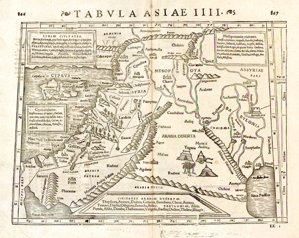
Tabula Asiae IIII. 1571
Middle East - Cyprus - Holy Land by Strabo - Sebastian Münster
[Item number: 25653]
Cyprus Insula. 1552
Cyprus, by S. Münster.
[Item number: 25723]
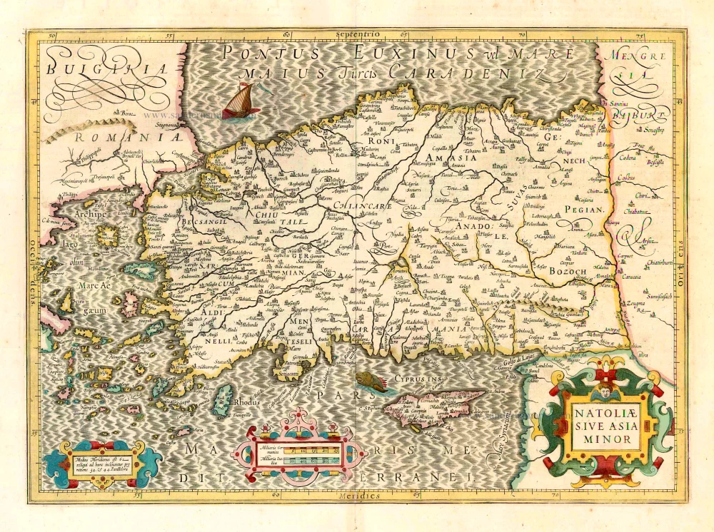
Natoliae sive Asia Minor. 1641
Turkey & Cyprus, by Jodocus Hondius.
[Item number: 26435]

Cyprus Ins: 1641
Cyprus, by Henricus Hondius.
[Item number: 26436]
Cyprus. 1602
Cyprus, by Barent Langenes, published by P. Bertius.
[Item number: 26542]
Cyprus Insula. 1640-43
Cyprus, by W. & J. Blaeu.
[Item number: 26641]
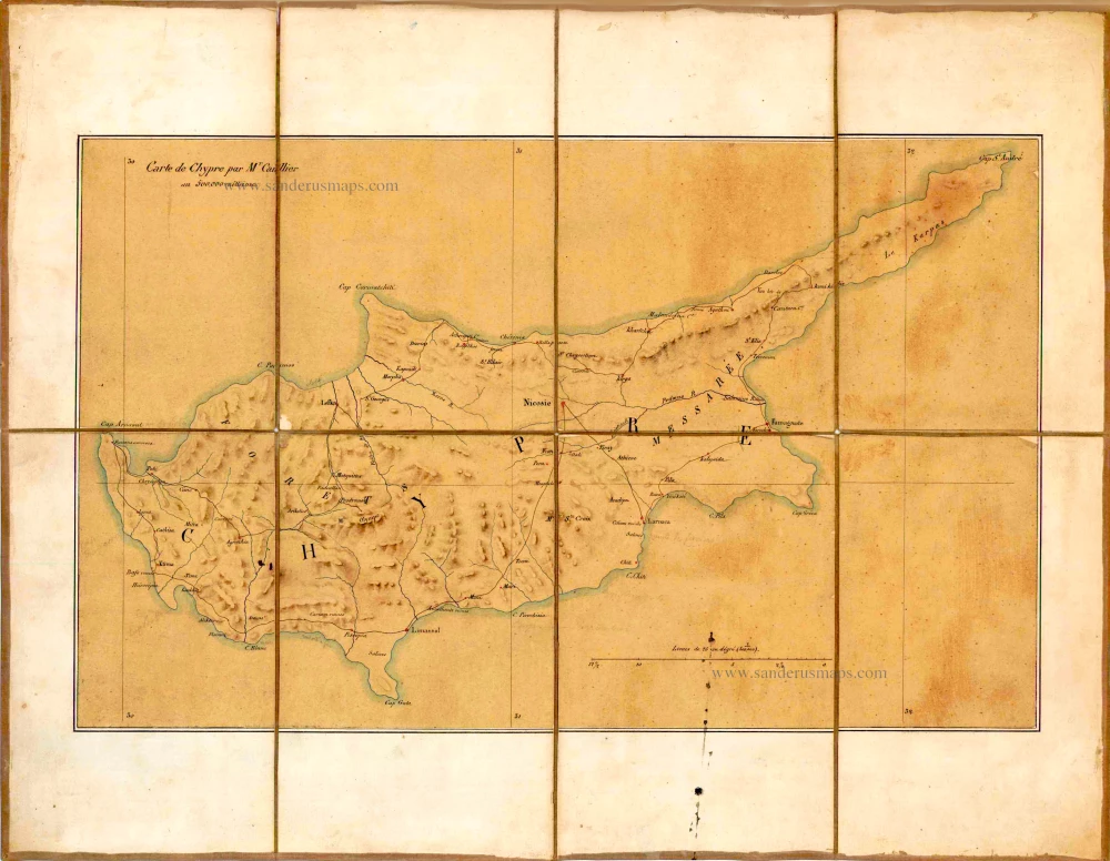
Carte de Chypre par Mr Caillier. c. 1850
Manuscript map of Cyprus, by Caillier.
[Item number: 26720]
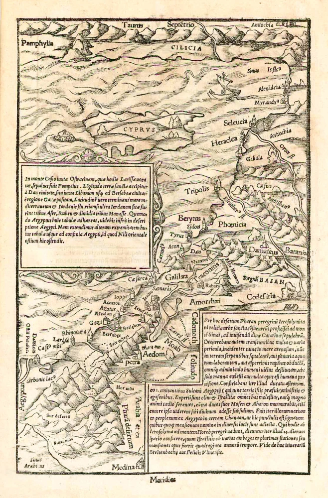
In monte Casio iuxta Ostracinam, ... 1550
Cyprus and the Holy Land, by Sebastian Münster.
[Item number: 27073]
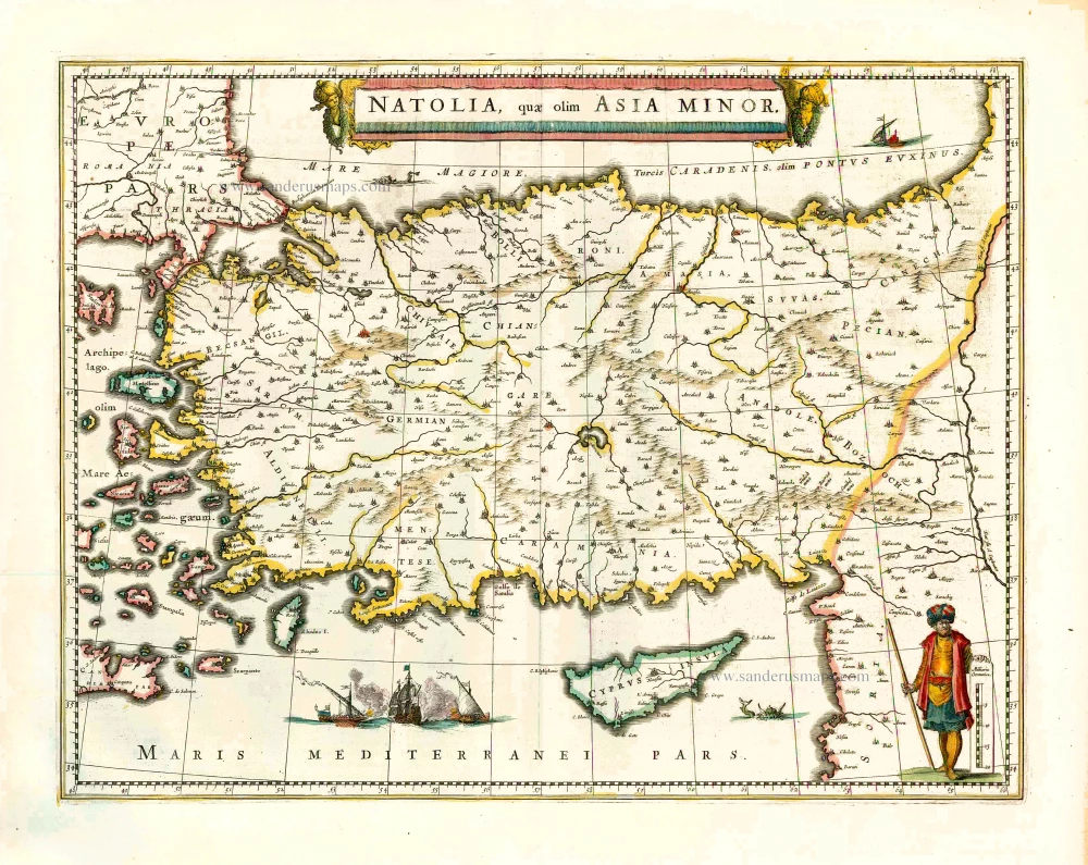
Natolia quae olim Asia Minor. 1640
Turkey and Cyprus, by Willem Blaeu.
[Item number: 27148]
Scarce
Cyprus Insula. - De L'Isle de Chipre. 1575
Cyprus, by François Belleforest.
[Item number: 27300]
Cyprus Insula. 1609
Cyprus by Abraham Ortelius.
[Item number: 27509]
Very rare.
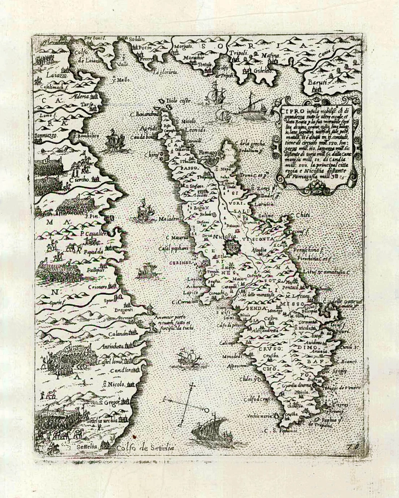
Cipro insula nobiliss. ... c. 1575
Cyprus by Giovanni Francesco Camocio
[Item number: 27577]
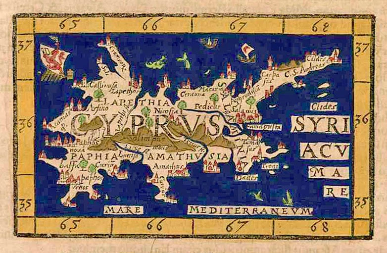
Cyprus. 1571
Cyprus by Johannes Honter.
[Item number: 27856]
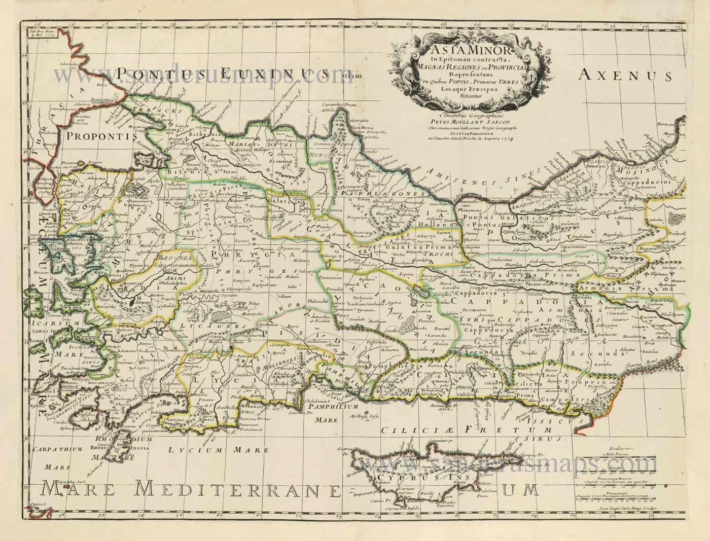
Asia Minor. 1665
Turkey - Cyprus by Philippe de la Rue.
[Item number: 28470]
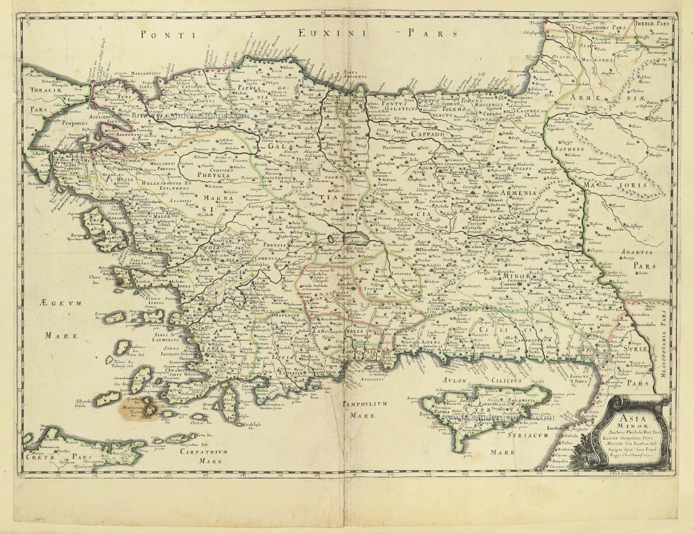
Asia Minor In Epitomen contracta, Magnas Regiones seu Provincias Representans In Quibus Populi, Primariae Urbes Locaque Praecipua Notantur. 1700-1710
Turkey & Cyprus by Pierre Moullart-Sanson.
[Item number: 28532]
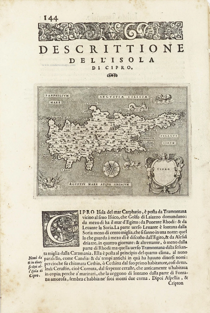
Cipro. - [Above map :] Descrittione dell'Isola di Cipro. 1590
Cyprus by Thomasso Porcacchi.
[Item number: 29827]
Rare.
Cyprus Insula. ca. 1658-1663
Cyprus by Nicolas Sanson, published by Pierre Mariette.
[Item number: 30045]
Cypri Insulae Nova Descript. 1573 1575
Cyprus by Abraham Ortelius.
[Item number: 30103]