
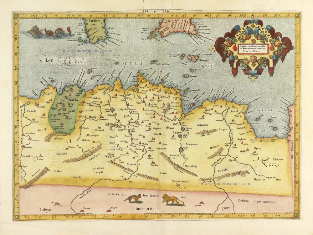
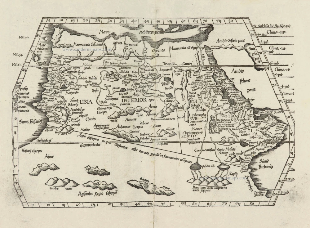
Northern Africa by Claudius Ptolemy, published by Jodocus Hondius. 1605
The Hondius Family
Jodocus Hondius the Elder (1563-1612)
Joost d’Hondt was born at Wakken (Flanders) in 1563. Two years later, his family settled down in Ghent, where young Joost displayed a great gift for drawing and calligraphy. By study and lessons, he developed his talents and became an engraver with a good reputation.
Due to the circumstances of war, he moved in 1584 to London where he settled down as an engraver, instrument-maker and map-maker. In 1587, he married Coletta van den Keere, sister of the well-known engraver, Pieter van den Keere (Petrus Kaerius); some years earlier his sister, Jacomina, had married Pieter van den Berghe (Petrus Montanus). Joost, who had Latinized his name to Jodocus Hondius, closely co-operated with his two brothers-in-law.
The political situation in the Northern Netherlands in 1593 was such that Jodocus seemed to be justified in establishing himself in Amsterdam, where so many Antwerp printers, publishers, and engravers had gone. In this new centre of cartography, Jodocus Hondius set up his business “In de Wackere Hondt” (in the vigilant dog), this name being an allusion to his birthplace and name. Here he engraved many maps and published atlases and many other works such as his continuation of Gerard Mercator’s Atlas.
He suddenly passed away in February 1612. The publishing firm of Jodocus Hondius was continued by his widow; later on by his two sons Jodocus Jr., and Henricus, and by his son-in-law, J. Janssonius.
Jodocus Hondius II (1594-1629) & Henricus Hondius (1597-1651)
After the father’s death, the widow with her seven children continued publishing the atlases under the name of Jodocus Hondius till 1620. The firm was reinforced by the very welcome help of Joannes Janssonius (1588-1664), who married 24-year-old Elisabeth Hondius in 1612. After 1619 Mercator’s Atlas was published under the name of Henricus Hondius.
One of the most dramatic events in the early history of commercial cartography in Amsterdam was the sale of Jodocus Hondius Jr.’s copper-plates to Willem Jansz. Blaeu in 1629, the year of his death. At least 34 plates, from which Jodocus II had printed single-sheet maps for his own benefit, passed into the hands of his great competitor. Immediately after that, his brother, Henricus, and Joannes Janssonius ordered the engraving of identical plates.
During a long period, Henricus devoted all his energy to the publication of the Atlas. He saw its growth up to, and including, the fourth part in 1646; after that, his name does not figure any more on the title-pages. After 1638, the title of the Atlas was changed to Atlas Novus; it was mainly carried on by Joannes Janssonius.
The competition with the Blaeus dates from 1630. In 1630, Willem Janszoon (=Blaeu) made the first attack with his Atlantis Appendix. In 1635, Blaeu completed his Theatrum orbis terrarum in two volumes with texts in French, Latin, Dutch, and German, which prompted Henricus Hondius to speed up the enlargement of his Atlas.
Claudius Ptolemy (c.100 – c.170 AD)
Claudius Ptolemaeus was a Greek astronomer, mathematician, and geographer who lived in Alexandria during the 2nd century. Much of medieval astronomy and geography were built on his ideas. He was the first to use longitudinal and latitudinal coordinates. This idea of a global coordinates system was highly influential, and we use a similar system today.
Ptolemy wrote several scientific treatises. The first is the astronomical treatise now known as the Almagest, and the second is the Geography, which is a thorough discussion of the geographic knowledge of the Greco-Roman world. The third is the Apotelesmatika, an astrological treatise in which he attempted to adapt horoscopic astrology to the Aristotelian natural philosophy of his day.
The Geographia is a compilation of geographical coordinates of the part of the world known to the Roman Empire during his time. However, the maps in surviving manuscripts of Ptolemy's Geography only date from about 1300, after Maximus Planudes rediscovered the text. It seems likely that the topographical tables are cumulative texts – texts which were altered and added to as new knowledge became available in the centuries after Ptolemy.
The earliest printed edition with engraved maps was produced in Bologna in 1477, followed quickly by a Roman edition in 1478. An edition printed at Ulm in 1482, including woodcut maps, was the first one published north of the Alps.
AFR. II. TAB.
Item Number: 28884 Authenticity Guarantee
Category: Antique maps > Africa
Old, antique map of Northern Africa by Claudius Ptolemy, published by Jodocus Hondius.
Title: AFR. II. TAB.
Cartographer: Claudius Ptolemy.
Date of the first edition: 1578.
Date of this map: 1605.
Copper engraving, printed on paper.
Map size: 335 x 465mm (13.19 x 18.31 inches).
Sheet size: 400 x 510mm (15.75 x 20.08 inches).
Verso: Latin text.
Condition: Original coloured, excellent.
Condition Rating: A+.
From: Geographiae Libri Octo Graeco-Latini. P. Montanus, Jodocus Hondius and Cornelis Claesz. 1605. (Van der Krogt 1, p. 483 1:511)
The Hondius Family
Jodocus Hondius the Elder (1563-1612)
Joost d’Hondt was born at Wakken (Flanders) in 1563. Two years later, his family settled down in Ghent, where young Joost displayed a great gift for drawing and calligraphy. By study and lessons, he developed his talents and became an engraver with a good reputation.
Due to the circumstances of war, he moved in 1584 to London where he settled down as an engraver, instrument-maker and map-maker. In 1587, he married Coletta van den Keere, sister of the well-known engraver, Pieter van den Keere (Petrus Kaerius); some years earlier his sister, Jacomina, had married Pieter van den Berghe (Petrus Montanus). Joost, who had Latinized his name to Jodocus Hondius, closely co-operated with his two brothers-in-law.
The political situation in the Northern Netherlands in 1593 was such that Jodocus seemed to be justified in establishing himself in Amsterdam, where so many Antwerp printers, publishers, and engravers had gone. In this new centre of cartography, Jodocus Hondius set up his business “In de Wackere Hondt” (in the vigilant dog), this name being an allusion to his birthplace and name. Here he engraved many maps and published atlases and many other works such as his continuation of Gerard Mercator’s Atlas.
He suddenly passed away in February 1612. The publishing firm of Jodocus Hondius was continued by his widow; later on by his two sons Jodocus Jr., and Henricus, and by his son-in-law, J. Janssonius.
Jodocus Hondius II (1594-1629) & Henricus Hondius (1597-1651)
After the father’s death, the widow with her seven children continued publishing the atlases under the name of Jodocus Hondius till 1620. The firm was reinforced by the very welcome help of Joannes Janssonius (1588-1664), who married 24-year-old Elisabeth Hondius in 1612. After 1619 Mercator’s Atlas was published under the name of Henricus Hondius.
One of the most dramatic events in the early history of commercial cartography in Amsterdam was the sale of Jodocus Hondius Jr.’s copper-plates to Willem Jansz. Blaeu in 1629, the year of his death. At least 34 plates, from which Jodocus II had printed single-sheet maps for his own benefit, passed into the hands of his great competitor. Immediately after that, his brother, Henricus, and Joannes Janssonius ordered the engraving of identical plates.
During a long period, Henricus devoted all his energy to the publication of the Atlas. He saw its growth up to, and including, the fourth part in 1646; after that, his name does not figure any more on the title-pages. After 1638, the title of the Atlas was changed to Atlas Novus; it was mainly carried on by Joannes Janssonius.
The competition with the Blaeus dates from 1630. In 1630, Willem Janszoon (=Blaeu) made the first attack with his Atlantis Appendix. In 1635, Blaeu completed his Theatrum orbis terrarum in two volumes with texts in French, Latin, Dutch, and German, which prompted Henricus Hondius to speed up the enlargement of his Atlas.
Claudius Ptolemy (c.100 – c.170 AD)
Claudius Ptolemaeus was a Greek astronomer, mathematician, and geographer who lived in Alexandria during the 2nd century. Much of medieval astronomy and geography were built on his ideas. He was the first to use longitudinal and latitudinal coordinates. This idea of a global coordinates system was highly influential, and we use a similar system today.
Ptolemy wrote several scientific treatises. The first is the astronomical treatise now known as the Almagest, and the second is the Geography, which is a thorough discussion of the geographic knowledge of the Greco-Roman world. The third is the Apotelesmatika, an astrological treatise in which he attempted to adapt horoscopic astrology to the Aristotelian natural philosophy of his day.
The Geographia is a compilation of geographical coordinates of the part of the world known to the Roman Empire during his time. However, the maps in surviving manuscripts of Ptolemy's Geography only date from about 1300, after Maximus Planudes rediscovered the text. It seems likely that the topographical tables are cumulative texts – texts which were altered and added to as new knowledge became available in the centuries after Ptolemy.
The earliest printed edition with engraved maps was produced in Bologna in 1477, followed quickly by a Roman edition in 1478. An edition printed at Ulm in 1482, including woodcut maps, was the first one published north of the Alps.
Related items
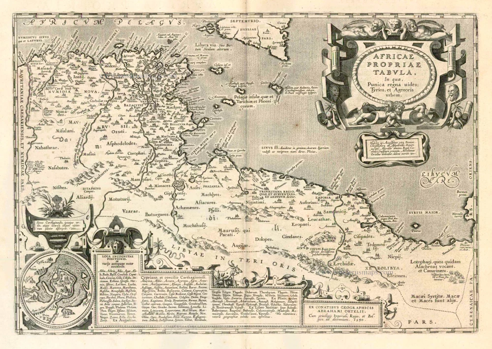
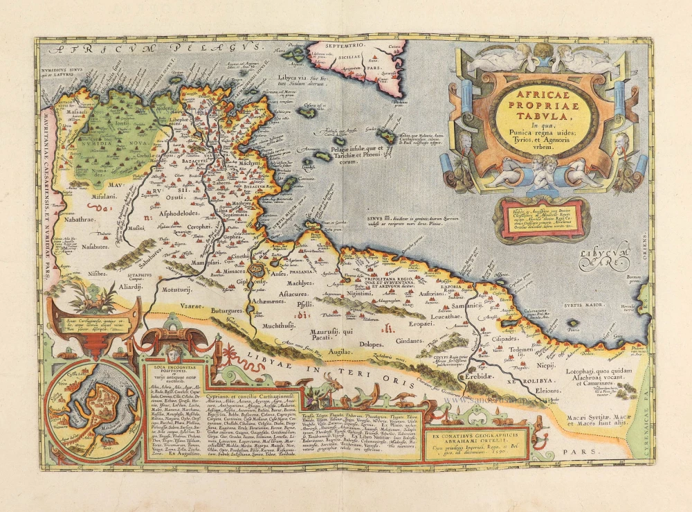
Africae Propriae Tabula. 1624
Ancient Northern Africa, by Ortelius A.
[Item number: 2053]
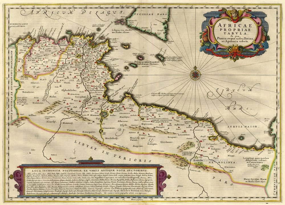
Africae Propriae Tabula .. 1645-58
Northern Africa, by Janssonius J.
[Item number: 19443]
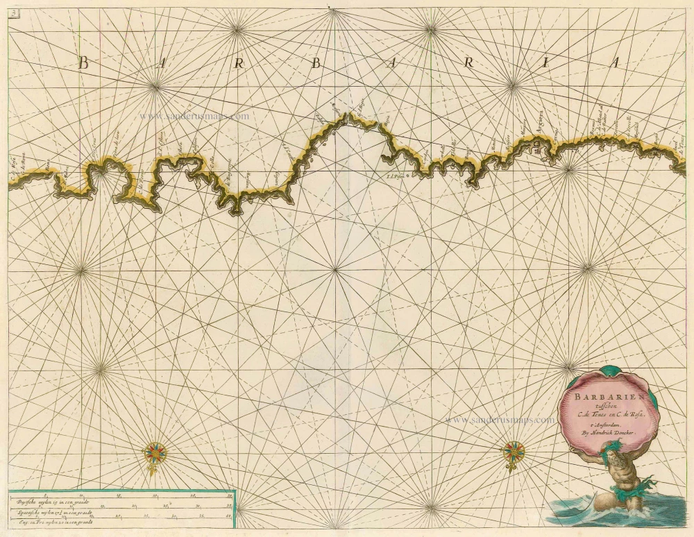
Barbarien tusschen C. de Tenes en C. de Rosa. t' Amsterdam, By Hendrick Doncker. 1664
Northern Africa, by Doncker H.
[Item number: 21375]
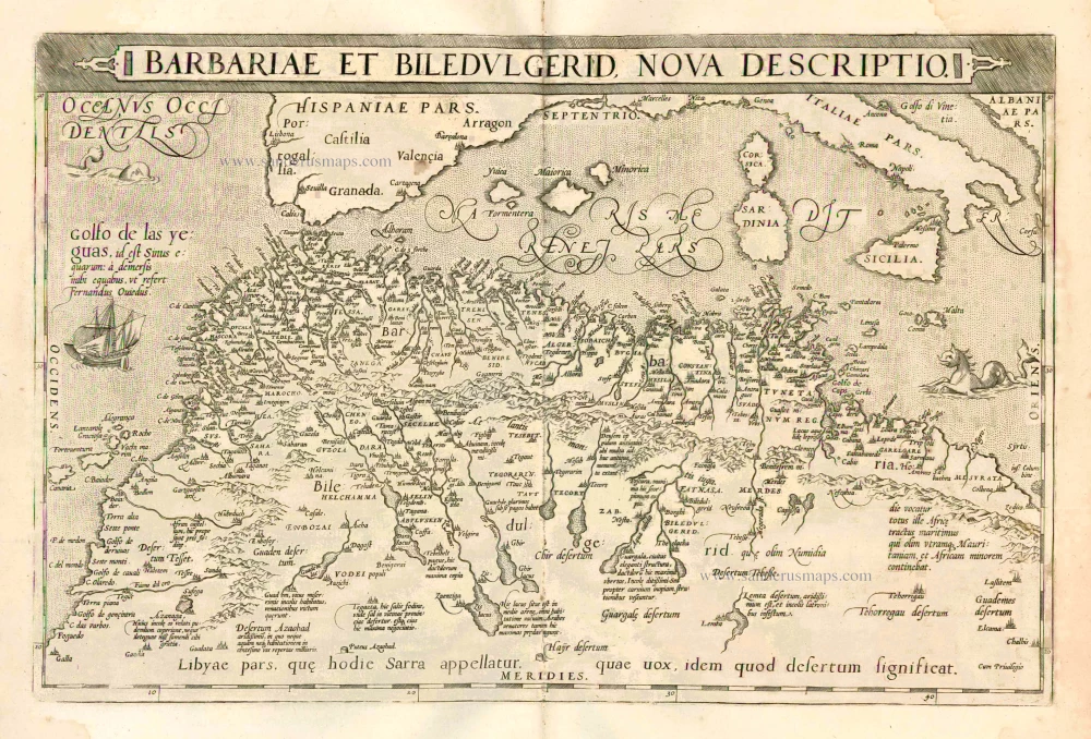
Barbariae et Biledulgerid, Nova Descriptio. 1601
Northern Africa, by A. Ortelius.
[Item number: 22524]

Barbaria 1662
Northern Africa, by Blaeu J.
[Item number: 22814]
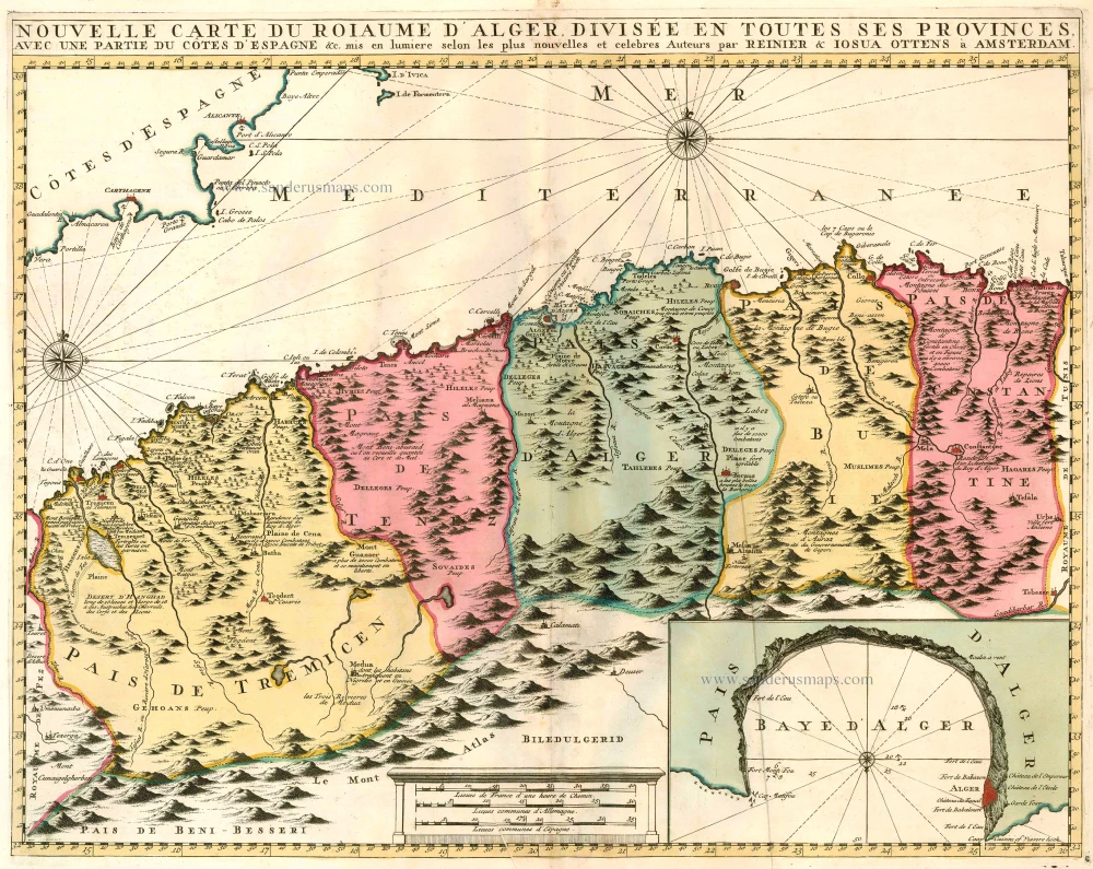
Nouvelle Carte du Roiaume d'Alger, divisée en toutes ses provinces, avec une partie du Côtes d'Espagne &c. 1756
Northern Africa - Algeria (Algiers) by Ottens R. & J.
[Item number: 23495]
Barbaria c. 1680
Northern Africa, by F. de Wit.
[Item number: 24490]
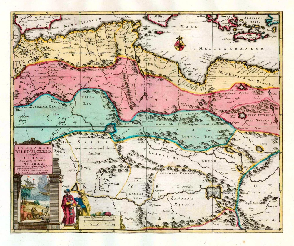
Barbarie, Biledulgerid, (autrefois Libye) et une partie du Pays des Negres. 1713
Northern Africa (Barbary), by Pieter van der Aa.
[Item number: 26154]
[Title on verso:] Tabula .IIII. Aphricae. 1525
Ptolemaic map of Northern Africa, by Lorenz Fries.
[Item number: 27976]

Nova Barbariae Descriptio. 1657
Northern Africa by Joannes Janssonius.
[Item number: 28219]
Parergon map
Africae Propriae Tabula, In qua, Punica regna vides; Tyrios, et Agenoris urbem. 1609
Abraham Ortelius, Ancient Northern Africa.
[Item number: 29348]
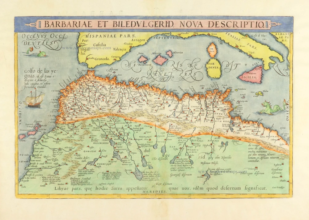
Barbariae et Biledulgerid, Nova Descriptio. 1584
Northern Africa, by Abraham Ortelius.
[Item number: 29356]
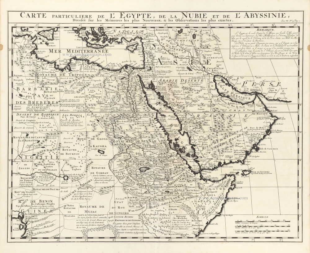
Carte Particuliere de l'Egypte, de la Nubie et de l'Abyssinie. 1719
Northeast Africa & Arabia, by Z. Châtelain.
[Item number: 29371]
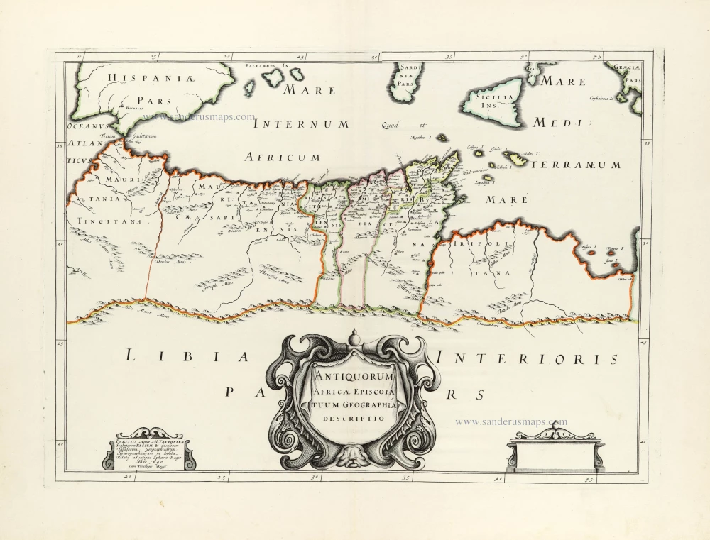
Antiquorum Africae Episcopatuum Geographice Descriptio. 1640
Northern Africa by Melchior Tavernier, published for Nicolas Sanson.
[Item number: 30001]
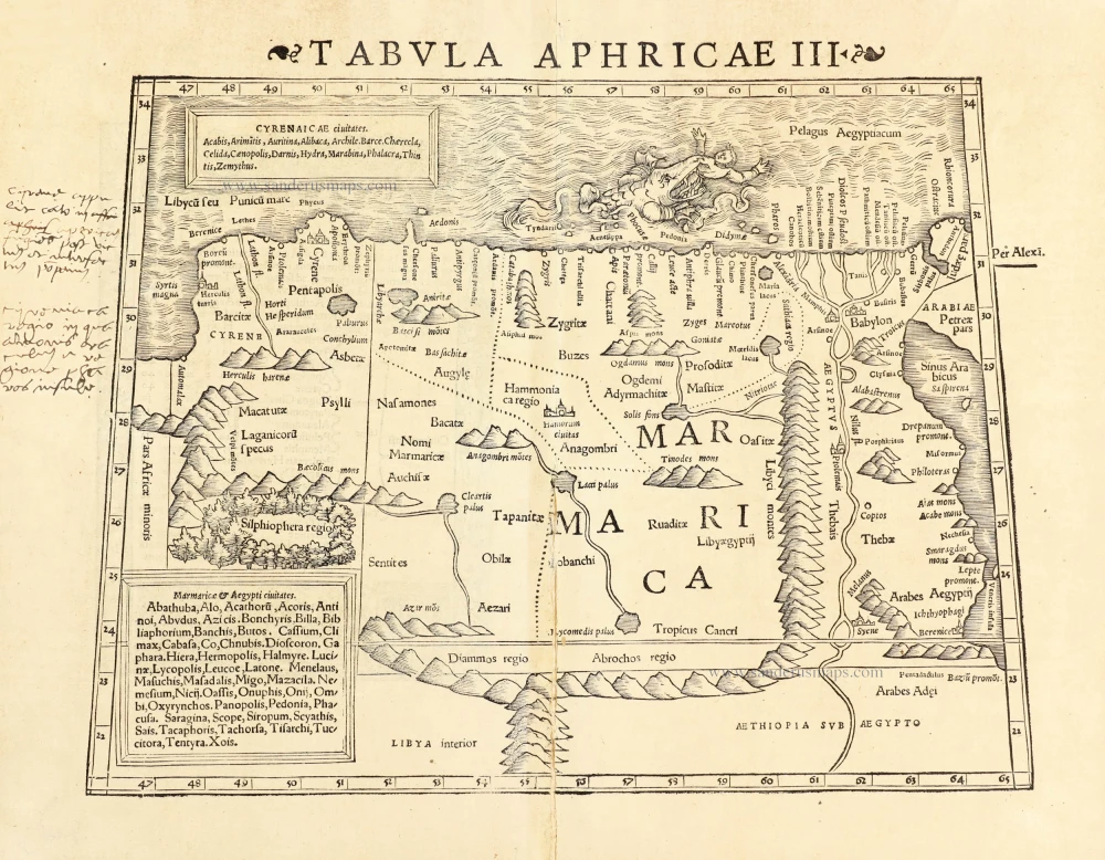
Tabula Aphricae III. 1545
Northern Africa by Sebastian Münster.
[Item number: 30293]