
Holy Land, by Willem Blaeu. 1640
The Blaeus: Willem Janszoon, Cornelis & Joan
Willem Jansz. Blaeu and his son Joan Blaeu are the seventeenth century's most widely known cartographic publishers.
Willem Jansz. (also written Guilielmus Janssonius) = Willem Janszoon Blaeu was born in Uitgeest (Netherlands), near Alkmaar, in 1571. He studied mathematics under Tycho Brahe and learned the theory and practice of astronomical observations and the art of instrument- and globe-making.
In 1596, he came to Amsterdam, where he settled down as a globe-, instrument- and map-maker. He published his first cartographic work (a globe) in 1599 and probably published his first printed map (a map of the Netherlands) in 1604. He specialised in maritime cartography, published the first edition of the pilot guide Het Licht der Zeevaert in 1608, and was appointed Hydrographer of the V.O.C. (United East India Company) in 1633. After publishing books, wall maps, globes, charts and pilot guides for thirty years, he brought out his first atlas, Atlas Appendix (1630). This was the beginning of the great tradition of atlas-making by the Blaeus.
In 1618, another mapmaker, bookseller and publisher, Johannes Janssonius, established himself in Amsterdam next door to Blaeu's shop. No wonder these two neighbours began accusing each other of copying and stealing their information and became fierce competitors who did not have a good word to say about each other. In about 1621 Willem Jansz. decided to end the confusion between his name and his competitor's and assumed his grandfather's nickname, 'blauwe Willem' ('blue Willem'), as the family name; after that, he called himself Willem Jansz. Blaeu.
Willem Janszoon Blaeu died in 1638, leaving his prospering business to his sons, Cornelis and Joan. We only know that Cornelis's name occurs in the prefaces of books and atlases until c. 1645.
Joan Blaeu, born in Amsterdam in 1596, became a partner in his father’s book trade and printing business. 1638, he was appointed his father’s successor in the Hydrographic Office of the V.O.C. His efforts culminated in the magnificent Atlas Major and the town books of the Netherlands and Italy – works unsurpassed in history and modern times, giving eternal fame to the name of the Blaeu's.
On February 23, 1672, a fire ruined the business. One year later, Dr Joan Blaeu died. The fire of 1672 and the passing away of the director gave rise to a complete sale of the stock of the Blaeu House. Five public auctions dispersed the remaining books, atlases, copperplates, globes, etc., among many other map dealers and publishers in Amsterdam. The majority was acquired by several booksellers acting in partnership.
In the succeeding years, the remaining printing department was left in the hands of the Blaeu family until 1695, when the printing house's inventory was sold at a public auction. That meant the end of the Blaeu's as a printing house of world renown.
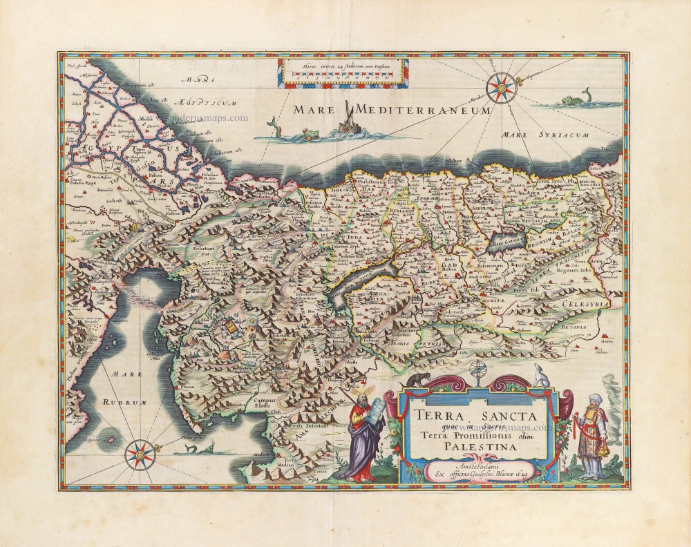
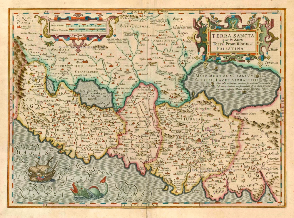
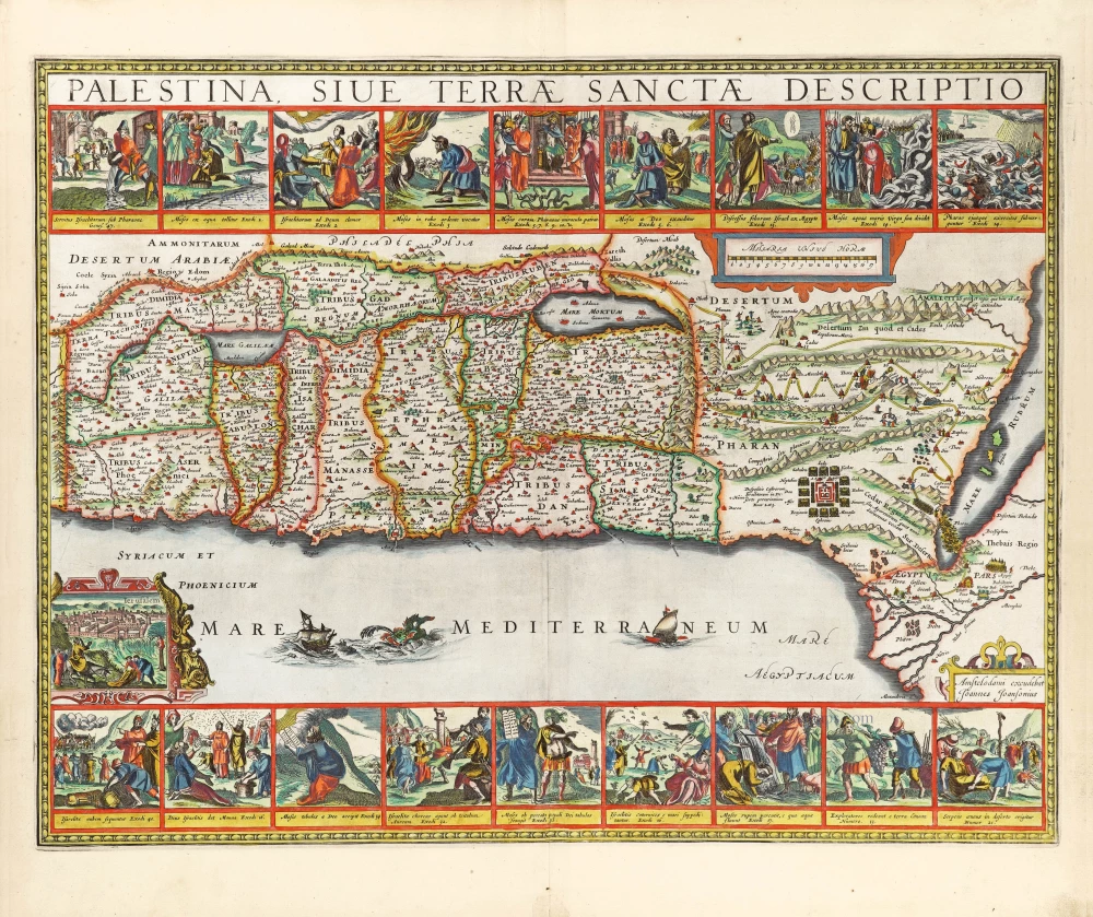
Terra Sancta quae in Sacris Terra Promissionis olim Palestina.
Item Number: 29049 Authenticity Guarantee
Category: Antique maps > Asia > Holy Land
Old, antique map of the Holy Land, by Willem Blaeu.
Title: Terra Sancta quae in Sacris Terra Promissionis olim Palestina.
Amstelodami Ex officina Guiljelmi Blaeuw 1629
Oriented to the west.
Date of the first edition: 1630.
Date of this map: 1640.
Date on map: 1629.
Copper engraving, printed on paper.
Map size: 380 x 495mm (14.96 x 19.49 inches).
Sheet size: 505 x 600mm (19.88 x 23.62 inches).
Verso: French text.
Condition: Original coloured, crease along centrefold, tear in lower margin reinforced not affecting the image.
Condition Rating: A.
From: Théâtre du Monde ou Nouvel Atlas. Seconde partie. J. Blaeu, 1640. (Van der Krogt 2, 211.2C)
The Blaeus: Willem Janszoon, Cornelis & Joan
Willem Jansz. Blaeu and his son Joan Blaeu are the seventeenth century's most widely known cartographic publishers.
Willem Jansz. (also written Guilielmus Janssonius) = Willem Janszoon Blaeu was born in Uitgeest (Netherlands), near Alkmaar, in 1571. He studied mathematics under Tycho Brahe and learned the theory and practice of astronomical observations and the art of instrument- and globe-making.
In 1596, he came to Amsterdam, where he settled down as a globe-, instrument- and map-maker. He published his first cartographic work (a globe) in 1599 and probably published his first printed map (a map of the Netherlands) in 1604. He specialised in maritime cartography, published the first edition of the pilot guide Het Licht der Zeevaert in 1608, and was appointed Hydrographer of the V.O.C. (United East India Company) in 1633. After publishing books, wall maps, globes, charts and pilot guides for thirty years, he brought out his first atlas, Atlas Appendix (1630). This was the beginning of the great tradition of atlas-making by the Blaeus.
In 1618, another mapmaker, bookseller and publisher, Johannes Janssonius, established himself in Amsterdam next door to Blaeu's shop. No wonder these two neighbours began accusing each other of copying and stealing their information and became fierce competitors who did not have a good word to say about each other. In about 1621 Willem Jansz. decided to end the confusion between his name and his competitor's and assumed his grandfather's nickname, 'blauwe Willem' ('blue Willem'), as the family name; after that, he called himself Willem Jansz. Blaeu.
Willem Janszoon Blaeu died in 1638, leaving his prospering business to his sons, Cornelis and Joan. We only know that Cornelis's name occurs in the prefaces of books and atlases until c. 1645.
Joan Blaeu, born in Amsterdam in 1596, became a partner in his father’s book trade and printing business. 1638, he was appointed his father’s successor in the Hydrographic Office of the V.O.C. His efforts culminated in the magnificent Atlas Major and the town books of the Netherlands and Italy – works unsurpassed in history and modern times, giving eternal fame to the name of the Blaeu's.
On February 23, 1672, a fire ruined the business. One year later, Dr Joan Blaeu died. The fire of 1672 and the passing away of the director gave rise to a complete sale of the stock of the Blaeu House. Five public auctions dispersed the remaining books, atlases, copperplates, globes, etc., among many other map dealers and publishers in Amsterdam. The majority was acquired by several booksellers acting in partnership.
In the succeeding years, the remaining printing department was left in the hands of the Blaeu family until 1695, when the printing house's inventory was sold at a public auction. That meant the end of the Blaeu's as a printing house of world renown.
Related items
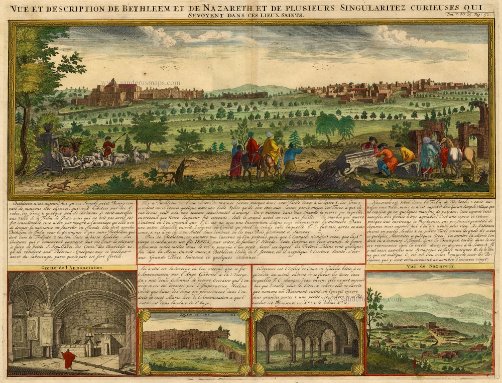
Vue et Description de Bethleem et de Nazareth et de Plusieurs Singularitez Curieuses .. 1719
Holy Land - Bethlehem - Nazareth, by Z. Châtelain.
[Item number: 16855]
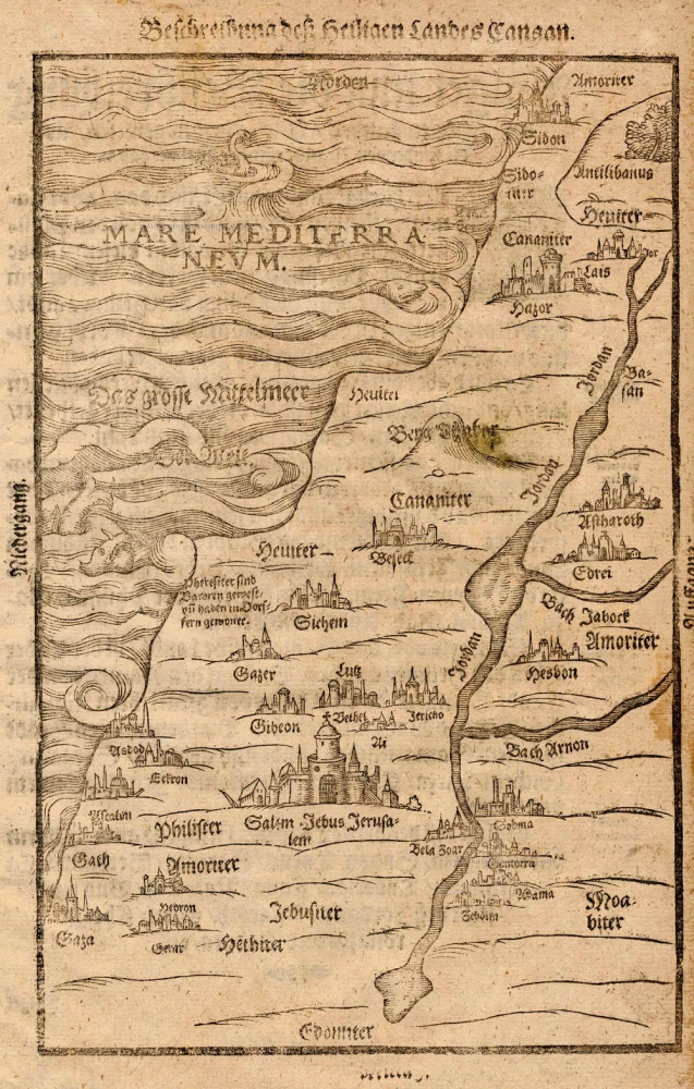
Beschreibung des Heiligen Landes Canaan. 1581
The Holy Land, by Bünting H.
[Item number: 18420]
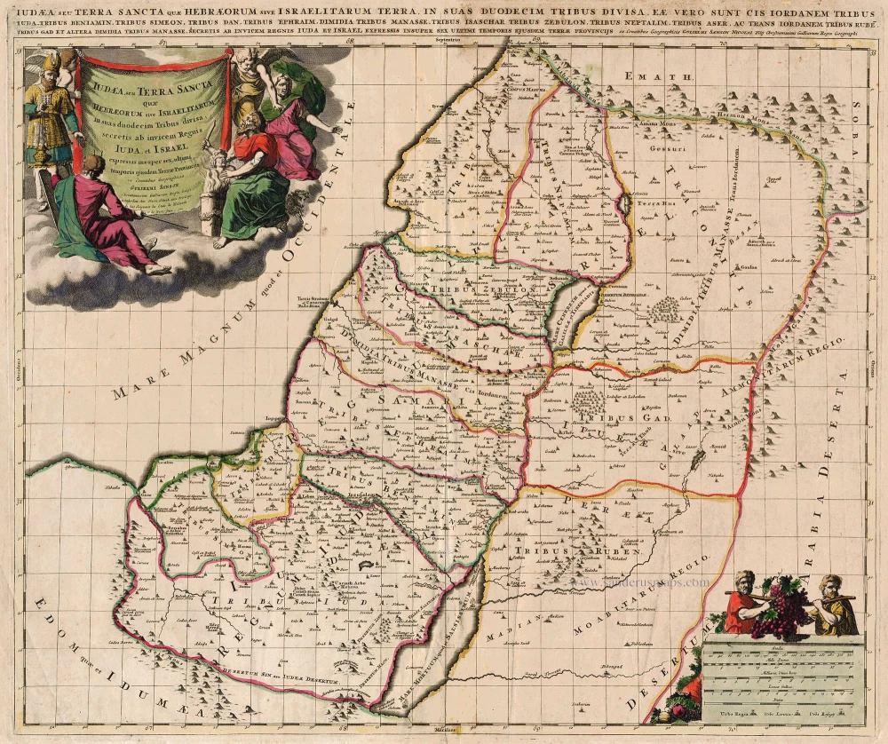
Iudea, seu Terra Sancta quae Hebraeorum sive Israelitarum ... c. 1700
HOLY LAND by Schenk P.
[Item number: 19146]
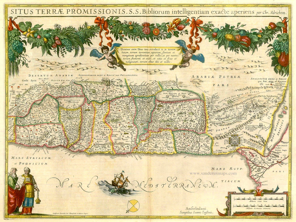
Situs Terrae Promissionis. S.S. Bibliorum intelligentiam exacte aperiens per Chr. Adrichom. c. 1658
The Holy Land, by Janssonius J.
[Item number: 19521]
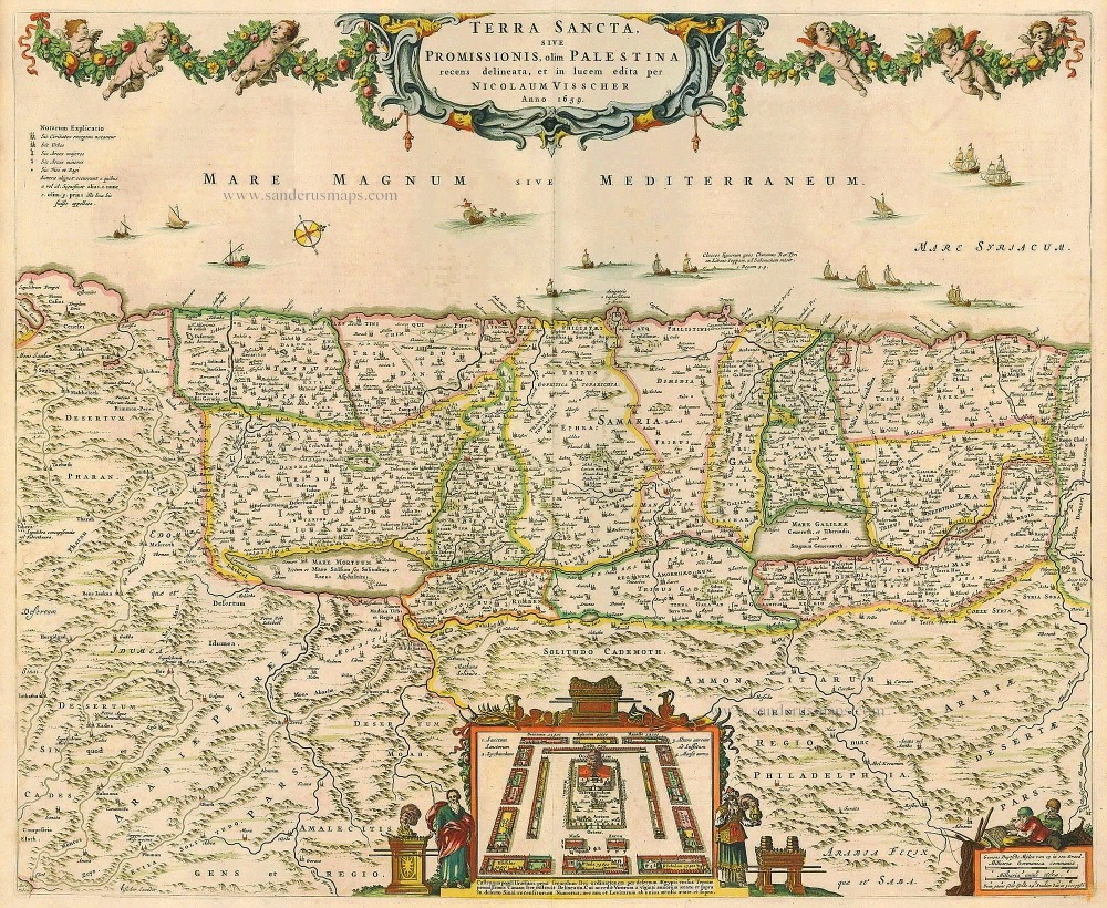
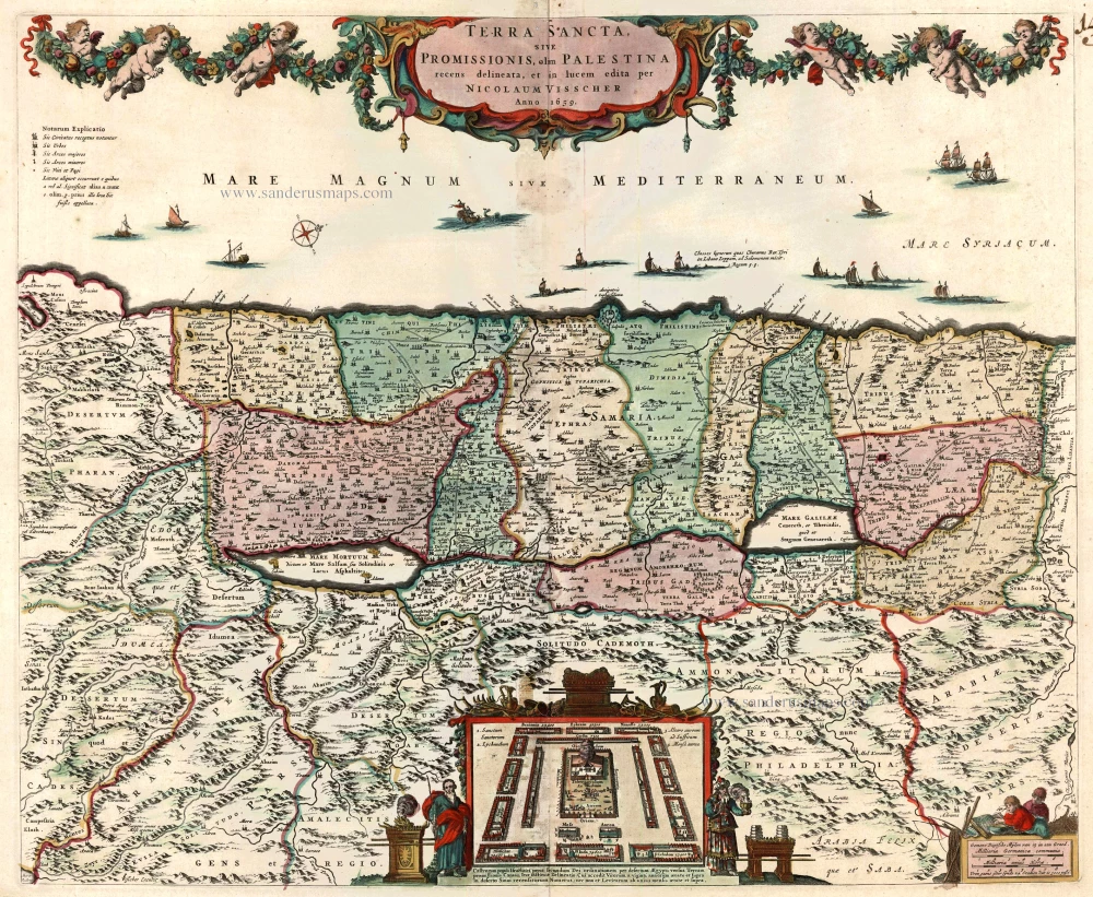
Terra Sancta, sive Promissionis, olim Palestina recens delineata. 1683-1696
The Holy Land, by Visscher N.
[Item number: 19522]
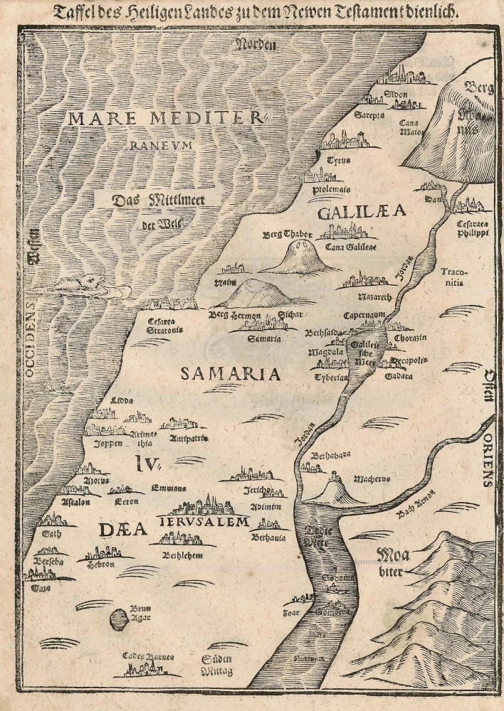
Taffel des Heiligen Landes zu dem Newen Testament dienlich. 1582
Holy Land, by Bünting H.
[Item number: 22640]
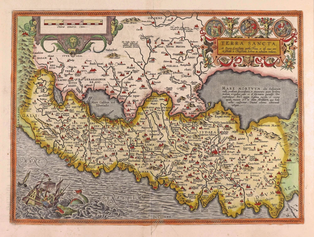
Terra Sancta, A Petro Laicstain perlustrata, et ab eius ore et schedisà Chistino Schrot in tabulam redacta. 1612
Holy Land by Abraham Ortelius.
[Item number: 23099]
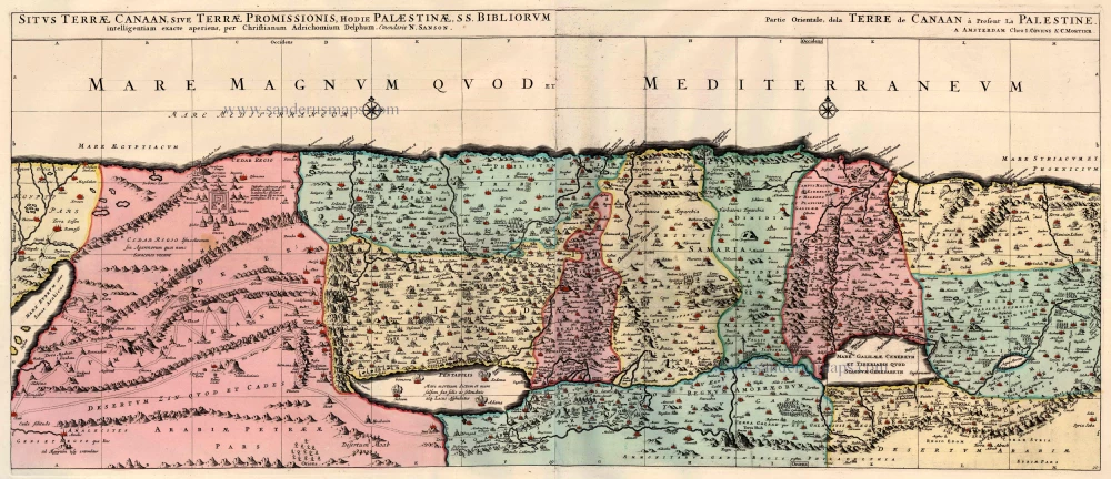
Situs Terrae Canaan sive Terrae Promissionis, hodie Palestinae, ... 1710
The Holy Land, by Jaillot - Covens & Mortier.
[Item number: 23600]
Terra Sancta, sive Promissionis, olim Palestina recens delineata. 1683-1696
The Holy Land by Nicolaas Visscher
[Item number: 24441]
Terra Sancta Quae In Sacris Terra Promissionis Ol: Palestina. 1623
Holy Land by Jodocus Hondius.
[Item number: 24974]
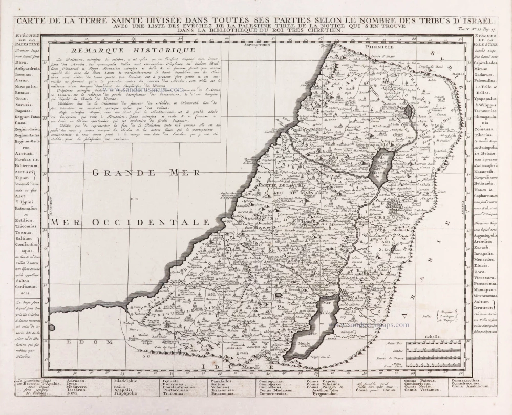
Carte de la Terre Sainte Divisée dans Toutes ses Parties selon le nombre des Tribus d'Israel. 1719
Holy Land, by Zacharias Châtelain.
[Item number: 29383]
Luxury colour
Palestina, sive Terrae Sanctae Descriptio. 1666
The Holy Land by Joannes Janssonius.
[Item number: 29972]
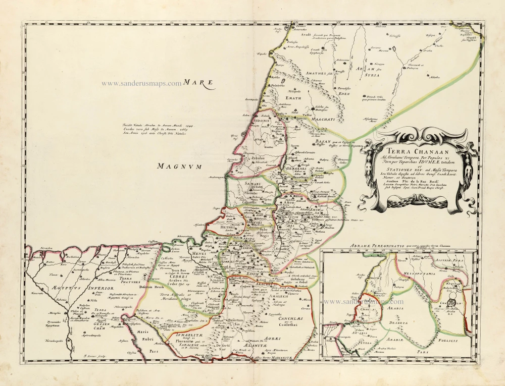
Terra Chanaan Ad Abrahami tempora, per populos XI Item per toparchias Idumeae Totidem et Stationes XLV. ad Mosis Tempora Seu Tabula digesta ad libros Genes. Exodi. Levit. Numer. et Deuteron. 1651
Historic map of the Land of Canaan from the time of Abraham up to the time of Moses, by Philippe de la Rue, published by Pierre Mariette.
[Item number: 30053]
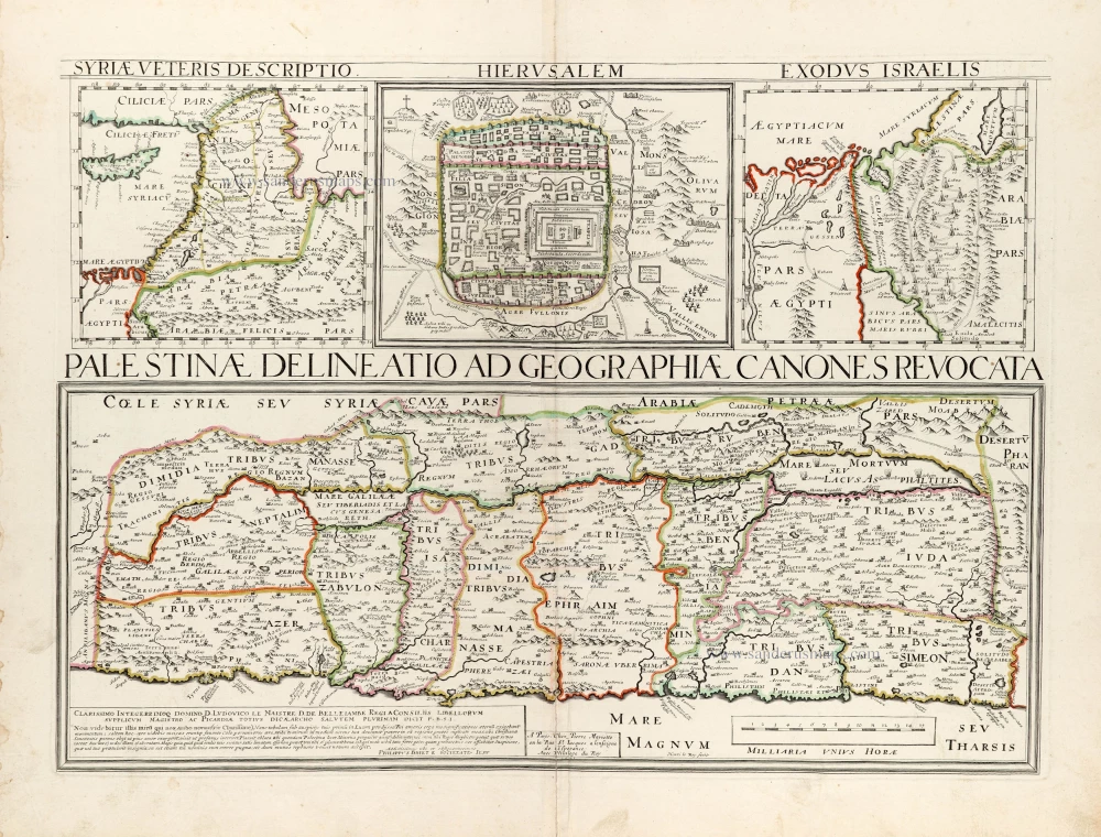
Palestinae Delineatio Ad Geographiae Canones Revocata. 1641
Holy Land - Jerusalem by Philippe Briet, published by Pierre Mariette.
[Item number: 30056]
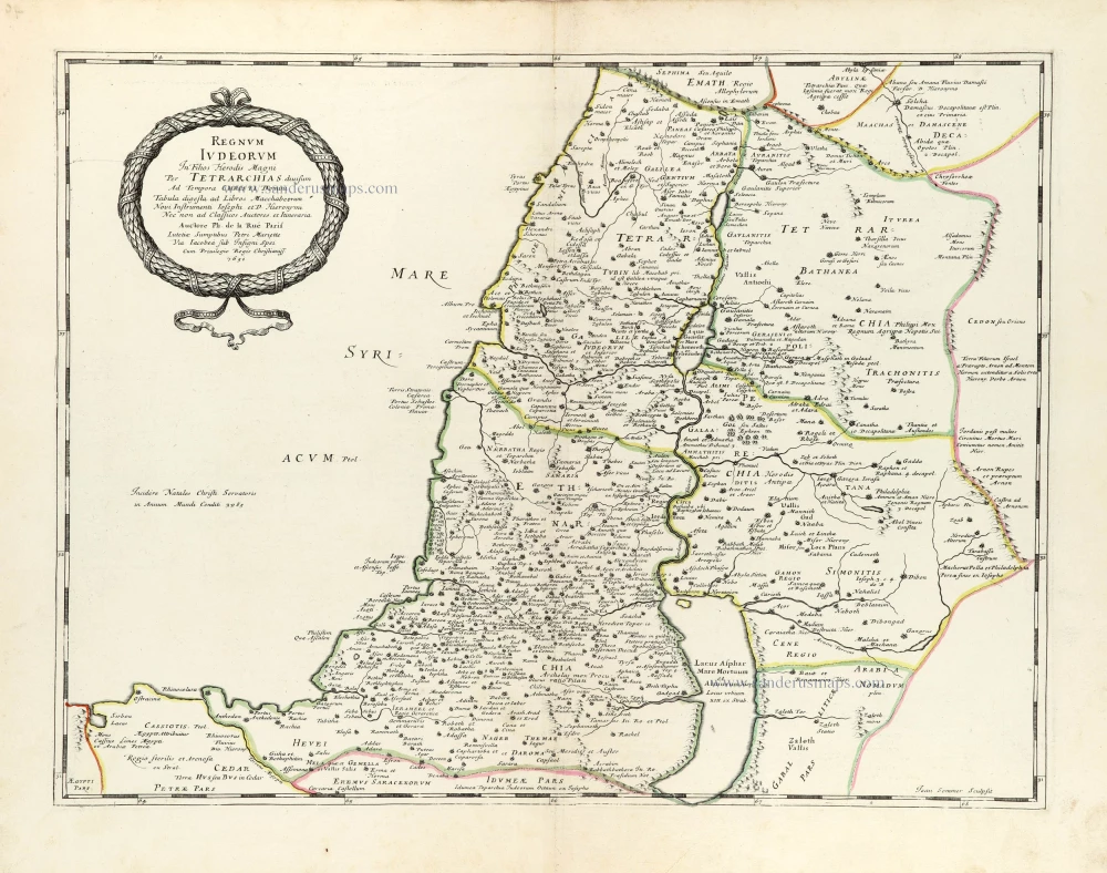
Regnum Iudeorum In Filios Herodis Magni. 1651
Historic map of the Kingdom of Judea in the time of Christ, by Philippe de la Rue, published by Pierre Mariette.
[Item number: 30060]
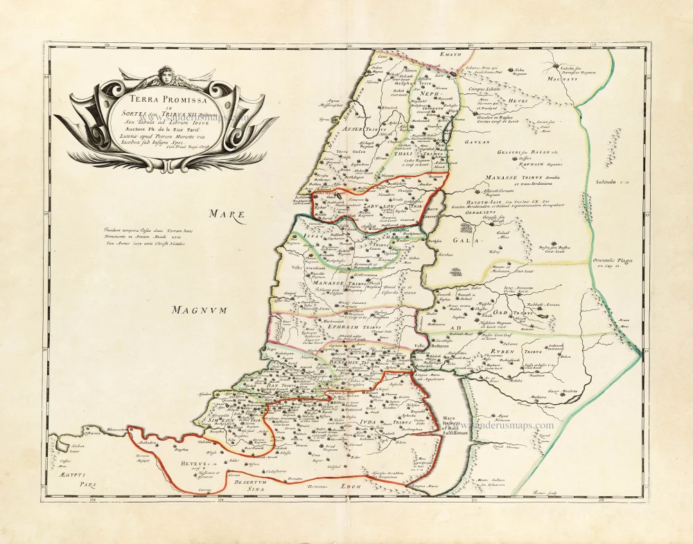
Terra Promissa in Sortes seu Tribus XII Distincta. 1651
The Promised Land divided among the 12 Tribes, by Philippe de la Rue, published by Pierre Mariette.
[Item number: 30061]
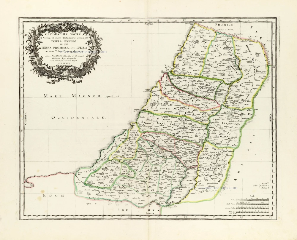
Geographiae Sacrae ex Veteri et Novo Testamento desumptae Tabula Secunda: in qua Terra Promissa, sive Iudaea in suas Tribus Partesq, distincta. 1665
Holy Land by Nicolas Sanson.
[Item number: 30105]
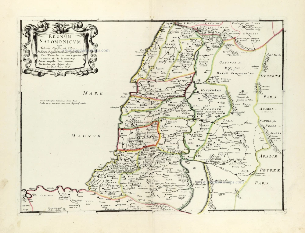
Regnum Salomonicum Seu Tabula digesta ad Libros Judicum, Regum, Paral. et Prophetarum. 1651
Historic map of the Kingdom of Solomon divided into 12 provinces, by Philippe de la Rue, published by Pierre Mariette.
[Item number: 30106]
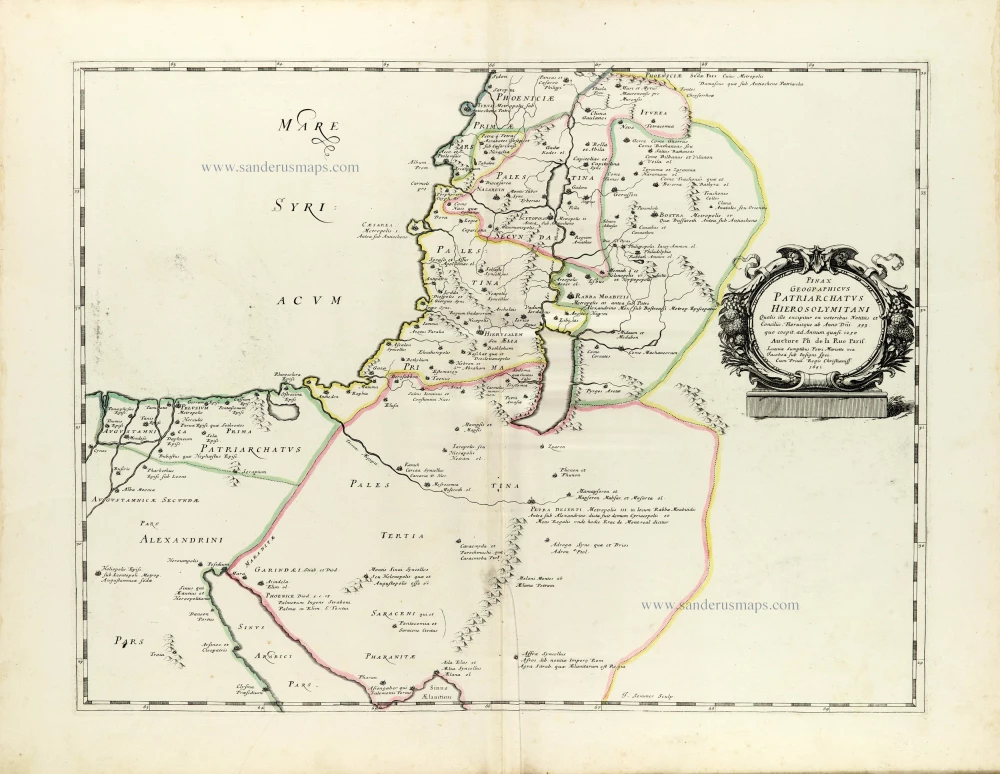
Pinax Geogpaphicus [sic] Patriarchatus Hierosolymitani [...] 1651
The Patriarchate of Jerusalem, by Philippe de la Rue, published by Pierre Mariette.
[Item number: 30120]
Superb old colouring, heightened with gold.
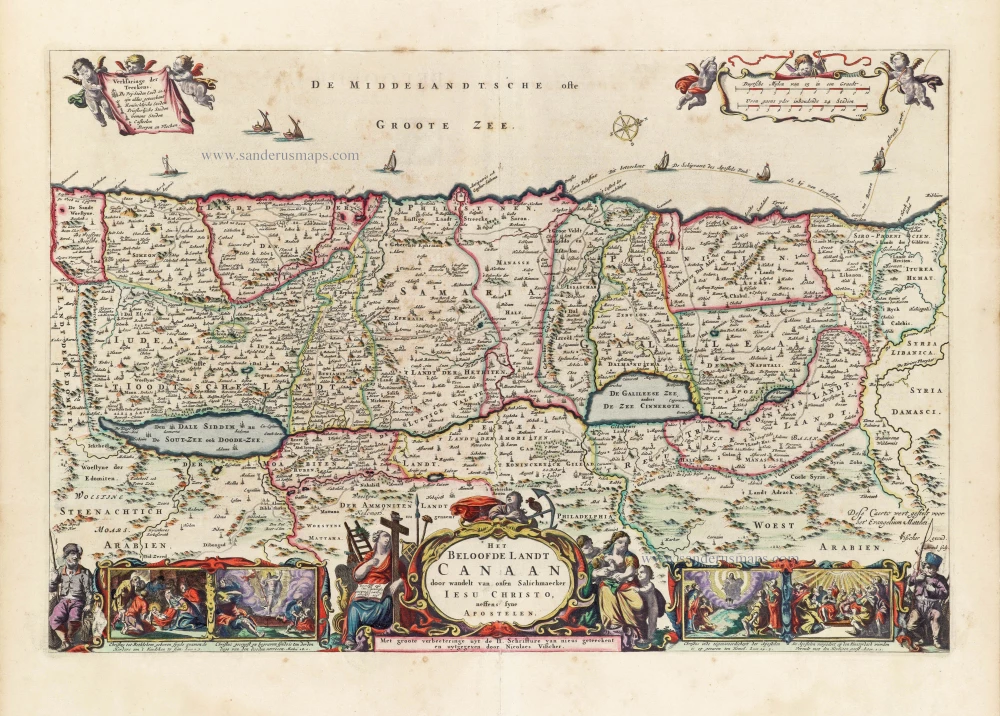
Het Beloofde Landt Canaan door wandelt van onsen Salichmaeker Iesu Christo, neffens syne Apostelen. 1663
Holy Land by Nicolaas Visscher.
[Item number: 30535]
new
Superb old colouring, heightened with gold.
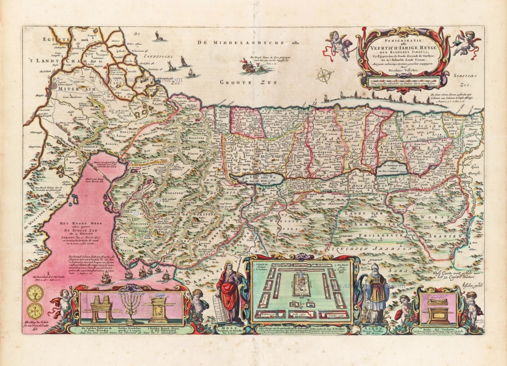
Perigrinatie ofte Veertigh-Iarige Reyse der Kinderen Israëls. 1663
Holy Land, by Nicolaes Visscher I.
[Item number: 30538]
new
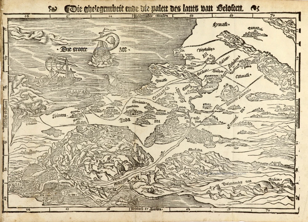
Holy Land map from the very rare van Liesveldt Bible
Die ghelegentheit ende die palen des lants van Beloften. 1532-1560
Holy Land by van Jacob van Liesveldt.
[Item number: 30549]
new