
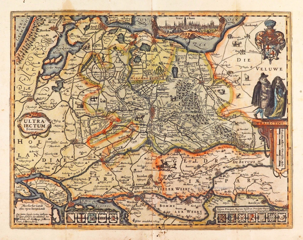
Utrecht by Petrus Kaerius. 1617
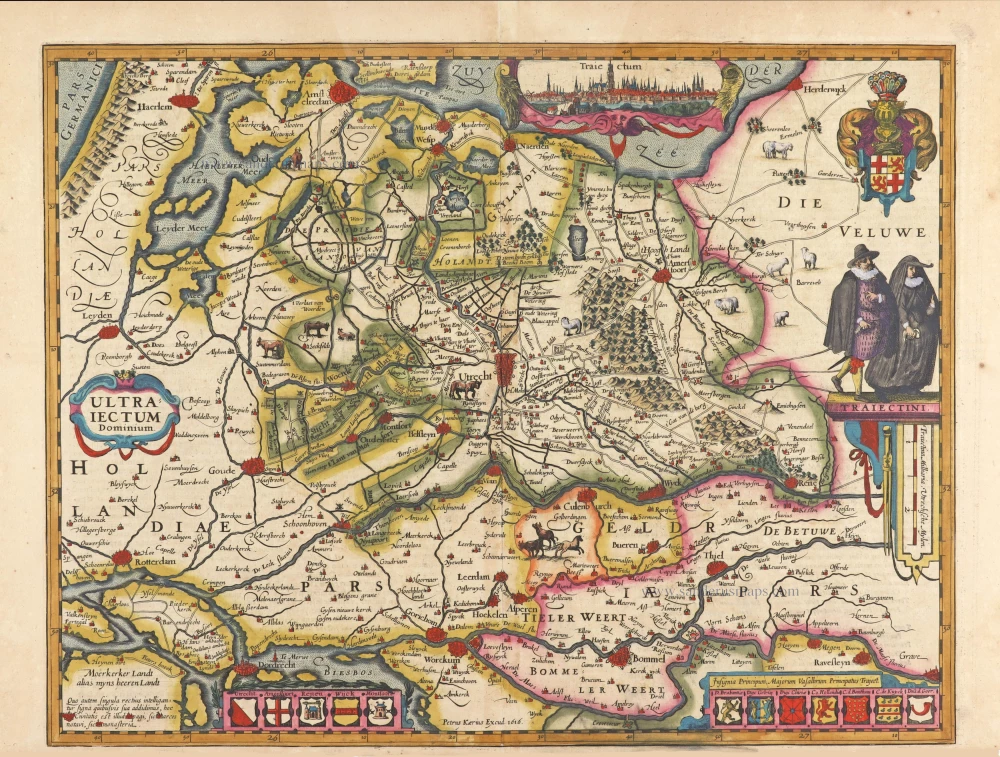
First state of this highly decorative map of the Province of Utrecht.
In the Zuiderzee, a cartouche is located with a view of Utrecht (Traiectum). A shield with the coat of arms of the province of Utrecht is shown in the upper right. Below it, two upright-standing costumed figures (TRAIECTINI) are depicted. Along the bottom border are two rows of coats of arms. The left one shows the arms of the towns in the bishopric Utrecht (Utrecht, Amersfoort, Rhenen, Wijk and Montfort), and the right one shows the coats of arms of the principal vassals and allies of the bishopric Utrecht.
The map content is a reduction of the map of Utrecht by Cornelius Anthonisz. Hornhovius of 1599 is now only known from a later edition by Clement de Jonghe. (Schilder)
Pieter Van den Keere (Petrus Kaerius) (1571-c.1650)
Pieter van den Keere was born in Ghent in 1571 as the son of the type-founder, Hendrik van den Keere. In 1584 he moved with his family for religious reasons to London. There, Van den Keere received training as an engraver from Jodocus Hondius, his brother-in-law. Not only the companionship with Jodocus Hondius but also the acquaintanceship with Pieter van den Berghe (Petrus Montanus) author of the text of the Germania Inferior originates from the years of refuge in London.
In 1593, both Keere and Hondius settled in Amsterdam. There, one of the first big enterprises was the large wall map of Europe, dated 1595: Nova totius Europae descriptio.
In 1610 he set up a workshop in the Kalverstraat that he called ‘In den onseeckeren tijd’ (In the uncertain time). In this period, he made numerous copperplates, including for maps for his atlas of the Netherlands and the Atlas Minor published by Jodocus Hondius.
The Germania Inferior (1617) is the first original atlas of the Netherlands published in folio size. The text for the atlas, both in Dutch and in French, was written by Petrus Montanus. After 1623, Claes Jansz. Visscher bought the plates and substituted his name for that of Kaerius’s. In 1634, Visscher included many of these maps in his Germana Inferior.
The fame of Kaerius is not only based on his atlas of the Netherlands. He is even better known as an engraver of many loose-leaf maps and as a collaborator of book publishers. His maps are found, i.a., in the Caert thresoor (Barent Langenes, 1598), Licht der Zeevaert (Blaeu, 1608), Atlas Minor (Hondius, 1628), and Caertboeck vande Midellandsche Zee (Barents, 1595).
Ultraiectum Dominium
Item Number: 4223 Authenticity Guarantee
Category: Antique maps > Europe > The Netherlands
Utrecht by Petrus Kaerius.
Title: Ultraiectum Dominium
Petrus Kaerius Excud. 1616.
Date of the first edition: 1617.
Date of this map: 1617.
Date on map: 1616.
Copper engraving, printed on paper.
Image size: 370 x 480mm (14.57 x 18.9 inches).
Sheet size: 400 x 540mm (15.75 x 21.26 inches).
Verso: Latin text.
Condition: Original coloured, short bottom margin (3-5mm).
Condition Rating: A+.
From: Petri Kaerii Germania Inferior id est, XVII provinciarum ejus novae et exactae Tabulae Geographicae, cum Luculentis Singularum descriptionibus additis. À Petro Montano. Amsterdam, 1617. (Koeman, Kee1; Van der Krogt 3, 64:01)
First state of this highly decorative map of the Province of Utrecht.
In the Zuiderzee, a cartouche is located with a view of Utrecht (Traiectum). A shield with the coat of arms of the province of Utrecht is shown in the upper right. Below it, two upright-standing costumed figures (TRAIECTINI) are depicted. Along the bottom border are two rows of coats of arms. The left one shows the arms of the towns in the bishopric Utrecht (Utrecht, Amersfoort, Rhenen, Wijk and Montfort), and the right one shows the coats of arms of the principal vassals and allies of the bishopric Utrecht.
The map content is a reduction of the map of Utrecht by Cornelius Anthonisz. Hornhovius of 1599 is now only known from a later edition by Clement de Jonghe. (Schilder)
Pieter Van den Keere (Petrus Kaerius) (1571-c.1650)
Pieter van den Keere was born in Ghent in 1571 as the son of the type-founder, Hendrik van den Keere. In 1584 he moved with his family for religious reasons to London. There, Van den Keere received training as an engraver from Jodocus Hondius, his brother-in-law. Not only the companionship with Jodocus Hondius but also the acquaintanceship with Pieter van den Berghe (Petrus Montanus) author of the text of the Germania Inferior originates from the years of refuge in London.
In 1593, both Keere and Hondius settled in Amsterdam. There, one of the first big enterprises was the large wall map of Europe, dated 1595: Nova totius Europae descriptio.
In 1610 he set up a workshop in the Kalverstraat that he called ‘In den onseeckeren tijd’ (In the uncertain time). In this period, he made numerous copperplates, including for maps for his atlas of the Netherlands and the Atlas Minor published by Jodocus Hondius.
The Germania Inferior (1617) is the first original atlas of the Netherlands published in folio size. The text for the atlas, both in Dutch and in French, was written by Petrus Montanus. After 1623, Claes Jansz. Visscher bought the plates and substituted his name for that of Kaerius’s. In 1634, Visscher included many of these maps in his Germana Inferior.
The fame of Kaerius is not only based on his atlas of the Netherlands. He is even better known as an engraver of many loose-leaf maps and as a collaborator of book publishers. His maps are found, i.a., in the Caert thresoor (Barent Langenes, 1598), Licht der Zeevaert (Blaeu, 1608), Atlas Minor (Hondius, 1628), and Caertboeck vande Midellandsche Zee (Barents, 1595).
Related items
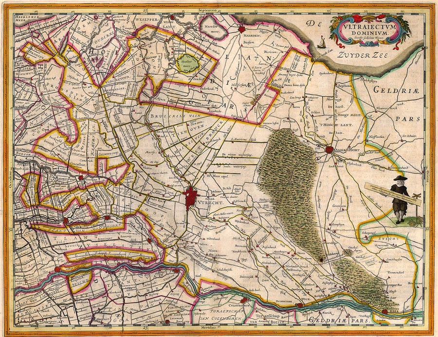
Ultraiectum Dominium. 1659-72
Utrecht, by Willem Blaeu.
[Item number: 1954]
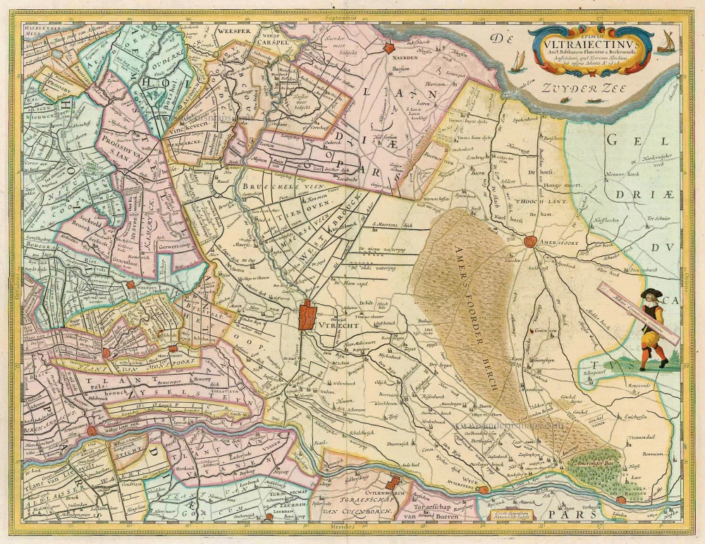
Episcopatus Ultraiectinus 1633
Utrecht, by Henricus Hondius.
[Item number: 7636]
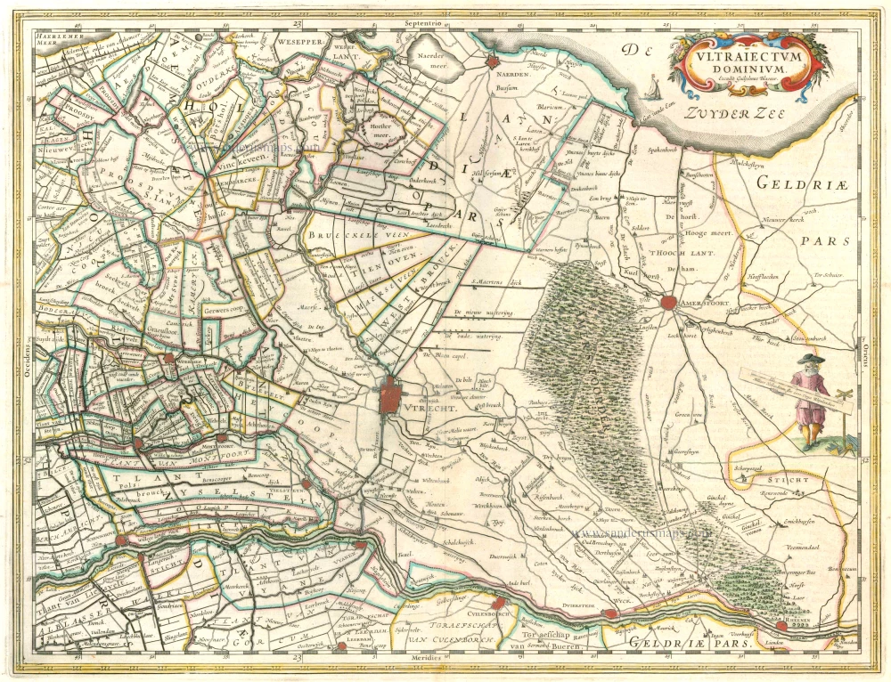
Ultraiectum Dominium 1642-43
Utrecht, by Willem Blaeu.
[Item number: 10851]
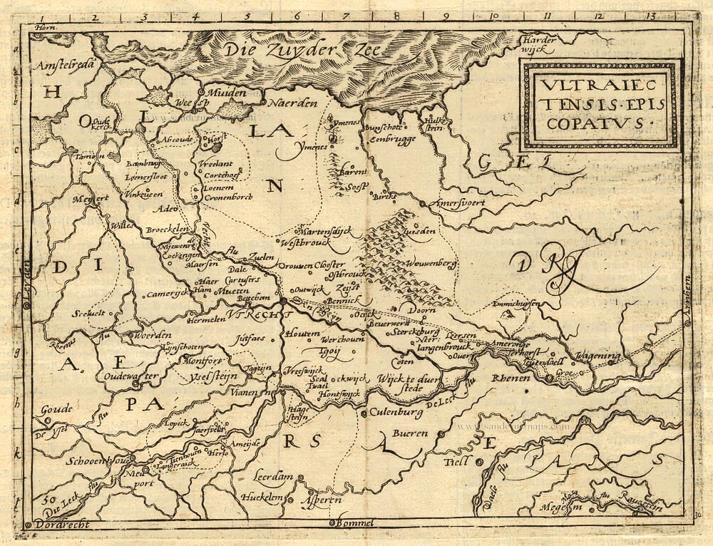
Ultraiectensis Episcopatus. 1587
Utrecht, by Frans Hogenberg - Michael von Eitzing (Aitzinger).
[Item number: 18081]

Traiectum Wttrecht 1649
Utrecht, by Joan Blaeu.
[Item number: 23876]
Ultraiectum Dominium. 1624
Utrecht by Petrus Kaerius (Pieter Van den Keere), published by Claes Jansz. Visscher.
[Item number: 28220]
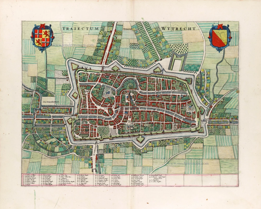
Traiectum Wttrecht. 1649
Utrecht, by Joan Blaeu.
[Item number: 29858]