
Western Balkans by Willem Blaeu. 1635
The Blaeus: Willem Janszoon, Cornelis & Joan
Willem Jansz. Blaeu and his son Joan Blaeu are the seventeenth century's most widely known cartographic publishers.
Willem Jansz. (also written Guilielmus Janssonius) = Willem Janszoon Blaeu was born in Uitgeest (Netherlands), near Alkmaar, in 1571. He studied mathematics under Tycho Brahe and learned the theory and practice of astronomical observations and the art of instrument- and globe-making.
In 1596, he came to Amsterdam, where he settled down as a globe-, instrument- and map-maker. He published his first cartographic work (a globe) in 1599 and probably published his first printed map (a map of the Netherlands) in 1604. He specialised in maritime cartography, published the first edition of the pilot guide Het Licht der Zeevaert in 1608, and was appointed Hydrographer of the V.O.C. (United East India Company) in 1633. After publishing books, wall maps, globes, charts and pilot guides for thirty years, he brought out his first atlas, Atlas Appendix (1630). This was the beginning of the great tradition of atlas-making by the Blaeus.
In 1618, another mapmaker, bookseller and publisher, Johannes Janssonius, established himself in Amsterdam next door to Blaeu's shop. No wonder these two neighbours began accusing each other of copying and stealing their information and became fierce competitors who did not have a good word to say about each other. In about 1621 Willem Jansz. decided to end the confusion between his name and his competitor's and assumed his grandfather's nickname, 'blauwe Willem' ('blue Willem'), as the family name; after that, he called himself Willem Jansz. Blaeu.
Willem Janszoon Blaeu died in 1638, leaving his prospering business to his sons, Cornelis and Joan. We only know that Cornelis's name occurs in the prefaces of books and atlases until c. 1645.
Joan Blaeu, born in Amsterdam in 1596, became a partner in his father’s book trade and printing business. 1638, he was appointed his father’s successor in the Hydrographic Office of the V.O.C. His efforts culminated in the magnificent Atlas Major and the town books of the Netherlands and Italy – works unsurpassed in history and modern times, giving eternal fame to the name of the Blaeu's.
On February 23, 1672, a fire ruined the business. One year later, Dr Joan Blaeu died. The fire of 1672 and the passing away of the director gave rise to a complete sale of the stock of the Blaeu House. Five public auctions dispersed the remaining books, atlases, copperplates, globes, etc., among many other map dealers and publishers in Amsterdam. The majority was acquired by several booksellers acting in partnership.
In the succeeding years, the remaining printing department was left in the hands of the Blaeu family until 1695, when the printing house's inventory was sold at a public auction. That meant the end of the Blaeu's as a printing house of world renown.
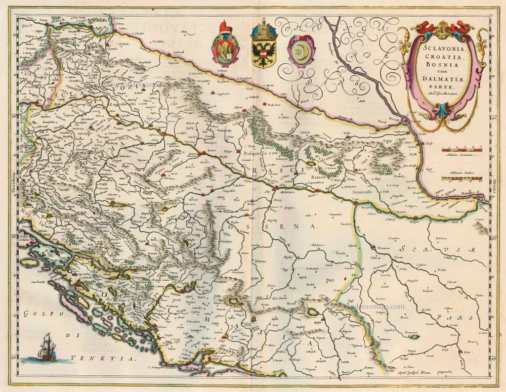
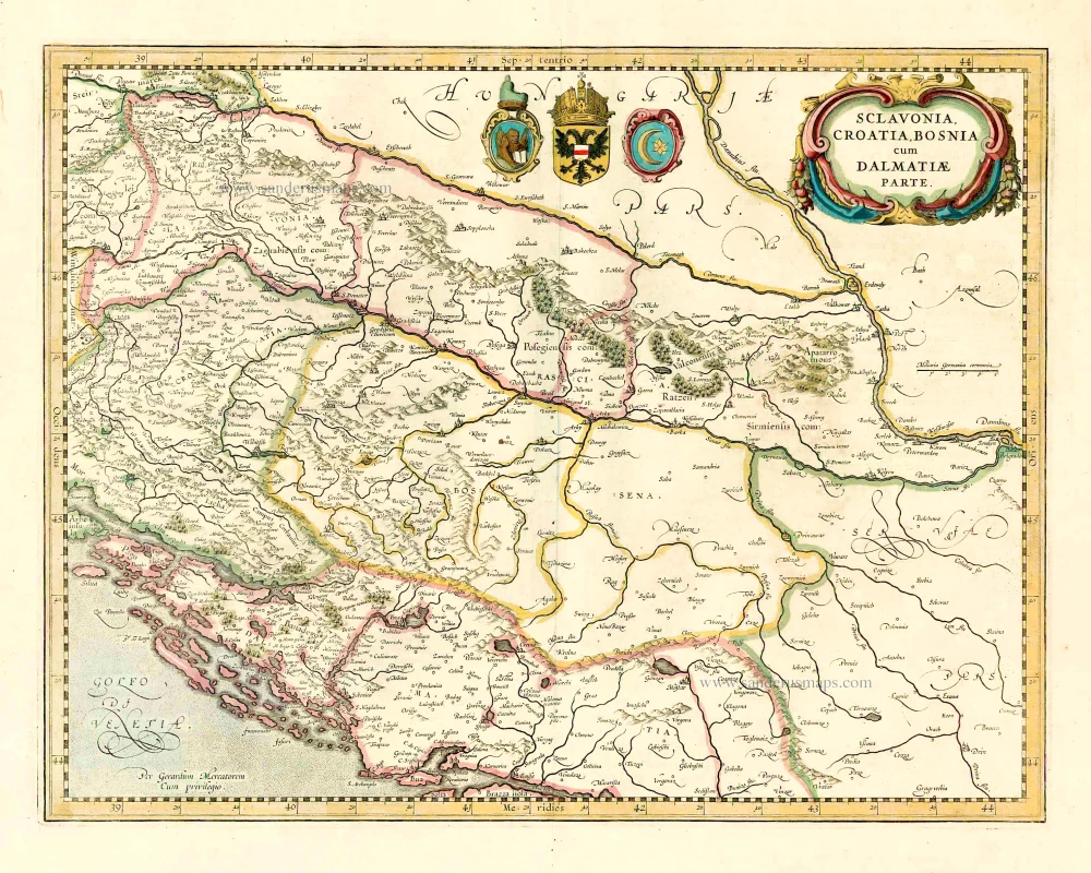
Sclavonia, Croatia, Bosnia cum Dalmatiae Parte.
Item Number: 6491 Authenticity Guarantee
Category: Antique maps > Europe > Southeastern Europe
Old, antique map of the Western Balkans by Willem Blaeu.
Title: Sclavonia, Croatia, Bosnia cum Dalmatiae Parte.
Auct. Ger. Mercatore.
Apud Guiljel. Blaeu.
Cartographer: Gerard Mercator (1512-1594).
Date of the first edition: 1634.
Date of this map: 1635.
Copper engraving, printed on paper.
Size (not including margins): 385 x 500mm (15.16 x 19.69 inches).
Verso: Latin text.
Condition: Original coloured, excellent.
Condition Rating: A+.
From: Theatrum Orbis Terrarum, W.& J. Blaeu, 1635. (Van der Krogt 2, 101)
The Blaeus: Willem Janszoon, Cornelis & Joan
Willem Jansz. Blaeu and his son Joan Blaeu are the seventeenth century's most widely known cartographic publishers.
Willem Jansz. (also written Guilielmus Janssonius) = Willem Janszoon Blaeu was born in Uitgeest (Netherlands), near Alkmaar, in 1571. He studied mathematics under Tycho Brahe and learned the theory and practice of astronomical observations and the art of instrument- and globe-making.
In 1596, he came to Amsterdam, where he settled down as a globe-, instrument- and map-maker. He published his first cartographic work (a globe) in 1599 and probably published his first printed map (a map of the Netherlands) in 1604. He specialised in maritime cartography, published the first edition of the pilot guide Het Licht der Zeevaert in 1608, and was appointed Hydrographer of the V.O.C. (United East India Company) in 1633. After publishing books, wall maps, globes, charts and pilot guides for thirty years, he brought out his first atlas, Atlas Appendix (1630). This was the beginning of the great tradition of atlas-making by the Blaeus.
In 1618, another mapmaker, bookseller and publisher, Johannes Janssonius, established himself in Amsterdam next door to Blaeu's shop. No wonder these two neighbours began accusing each other of copying and stealing their information and became fierce competitors who did not have a good word to say about each other. In about 1621 Willem Jansz. decided to end the confusion between his name and his competitor's and assumed his grandfather's nickname, 'blauwe Willem' ('blue Willem'), as the family name; after that, he called himself Willem Jansz. Blaeu.
Willem Janszoon Blaeu died in 1638, leaving his prospering business to his sons, Cornelis and Joan. We only know that Cornelis's name occurs in the prefaces of books and atlases until c. 1645.
Joan Blaeu, born in Amsterdam in 1596, became a partner in his father’s book trade and printing business. 1638, he was appointed his father’s successor in the Hydrographic Office of the V.O.C. His efforts culminated in the magnificent Atlas Major and the town books of the Netherlands and Italy – works unsurpassed in history and modern times, giving eternal fame to the name of the Blaeu's.
On February 23, 1672, a fire ruined the business. One year later, Dr Joan Blaeu died. The fire of 1672 and the passing away of the director gave rise to a complete sale of the stock of the Blaeu House. Five public auctions dispersed the remaining books, atlases, copperplates, globes, etc., among many other map dealers and publishers in Amsterdam. The majority was acquired by several booksellers acting in partnership.
In the succeeding years, the remaining printing department was left in the hands of the Blaeu family until 1695, when the printing house's inventory was sold at a public auction. That meant the end of the Blaeu's as a printing house of world renown.
Related items

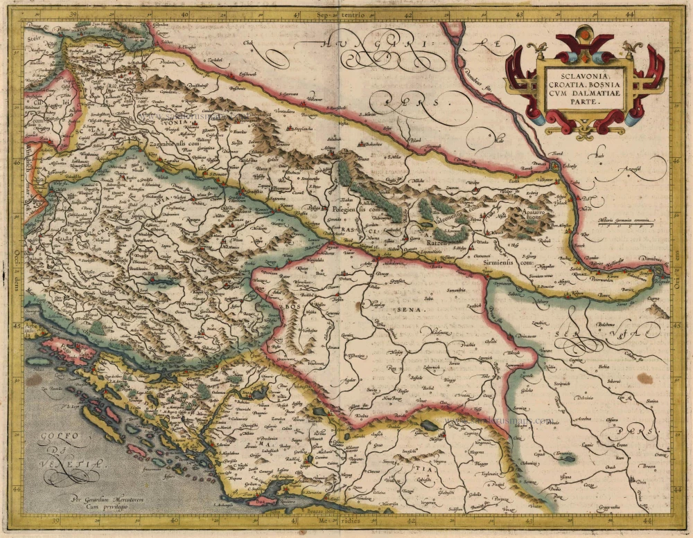
Sclavonia, Croatia, Bosnia cum Dalmatiae Parte 1619
Balkans (West) by Mercator-Hondius
[Item number: 12223]

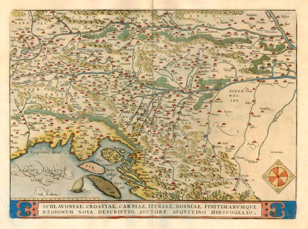
Schlavoniae, Croatiae, Carniae, Istriae, Bosniae, finitimarumque Regionum Nova Descriptio, ... 1598
Western Balkans, by A. Ortelius.
[Item number: 22920]
Sclavonia, Croatia, Bosnia cum Dalmatiae Parte 1613-16
Western Balkans by G. Mercator
[Item number: 13749]
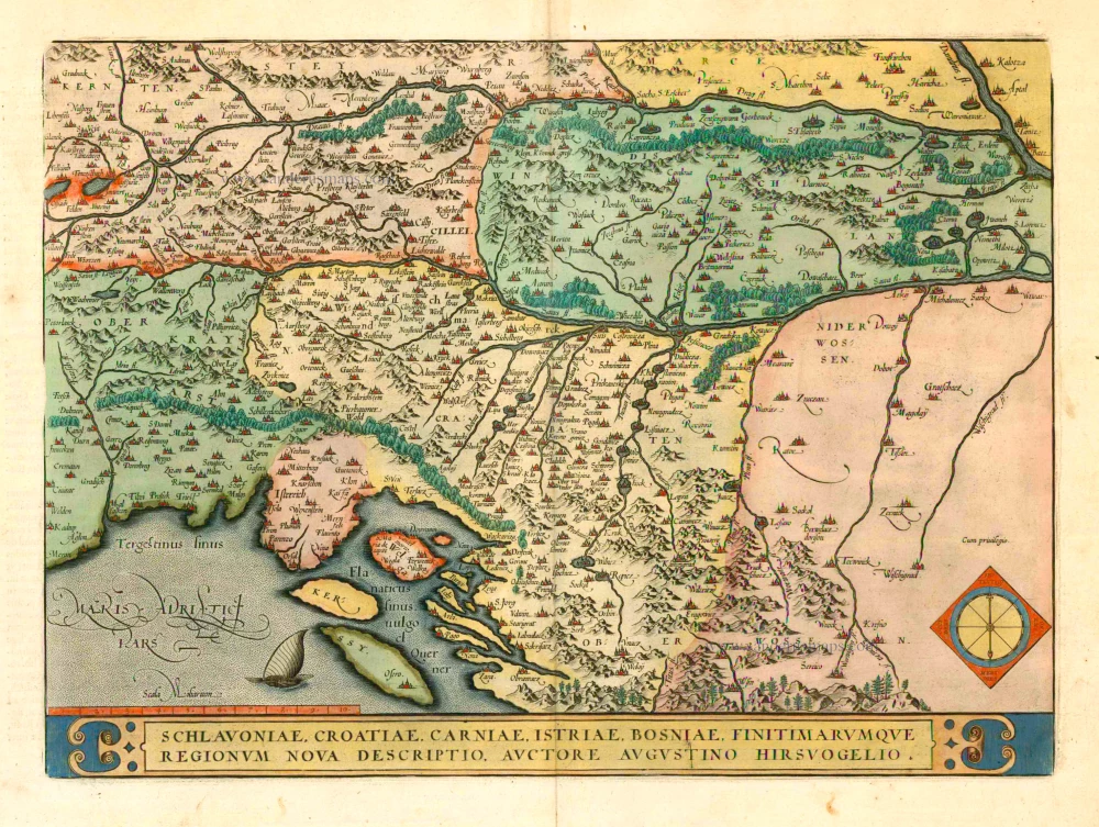
Schlavoniae, Croatiae, Carniae, Istriae, Bosniae, finitimarumque Regionum Nova Descriptio, ... 1579
Western Balkans, by A. Ortelius.
[Item number: 23650]
Schlavoniae, Croatiae, Carniae, Istriae, Bosniae, finitimarumque Regionum Nova Descriptio, ... 1601
The Western Balkans by Abraham Ortelius.
[Item number: 8080]
Sclavonia, Croatia, Bosnia cum Dalmatiae Parte. 1641
The western Balkans, by Henricus Hondius.
[Item number: 27085]
[No title] - [On verso:] Tabula .V. Europae. 1525
Balkans - Dalmatia, by Lorenz Fries.
[Item number: 27959]