
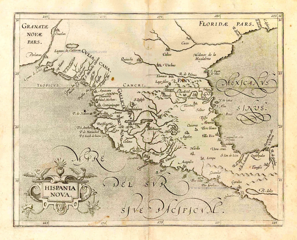
Mexico, by C. van Wytfliet. 1607
In 1597 Cornelis van Wytfliet published his Augmentum to Ptolemy's Geography. This is true as much as it covers all the Americas, a part of the world unknown to the latter; however, no other connection exists. Dedicated to Philip III of Spain, it is a history of the New World, recording its discovery, natural history etc. For the book, Wytfliet had engraved nineteen maps, by whom we do not know, one of the world and eighteen regional maps of the Americas. This book can be indeed called the first atlas of America. It was an immediate success and ran to several editions. (Burden)
Cornelius Wytfliet (? – 1597)
Cornelius Wytfliet was a geographer from Leuven. After graduating with a Licentiate in Laws from the University of Leuven, Wytfliet moved to Brussels and became secretary to the Council of Brabant.
In 1597, he published the first atlas of America: the Descriptionis Ptolemaicae Augmentum (Augmentation to Ptolemy’s description). He named his work an augmentation of Ptolemy’s Geography because it covers the Americas, a part of the world unknown to Ptolemy. However, there is no other connection between the works of Ptolemy and Van Wytfliet. Dedicated to Philip III of Spain, it is a history of the New World to date, recording its discovery, natural history, etc. It provides a history of exploration and the voyages of Christopher Columbus (1492-1502), John Cabot (1497-98), Sebastian Cabot (1526-28), Francisco Pizarro (1527-35), Giovanni de Verazzano (1524), Jacques Cartier (1540-42), and Martin Frobisher (1576-78). Most of Van Wytfliet’s maps are the first or among the earliest of specific regions of North and South America.
For the book, Wytfliet had engraved nineteen maps, one of the world and eighteen regional maps of the Americas. The book was an immediate success and ran to several editions.
Two editions of the Descriptionis Ptolemaicae were published at Leuven in 1597 and 1598, and in 1603, the first Douai edition appeared, with later editions with French text. The last edition was published in Arnhem in 1615.
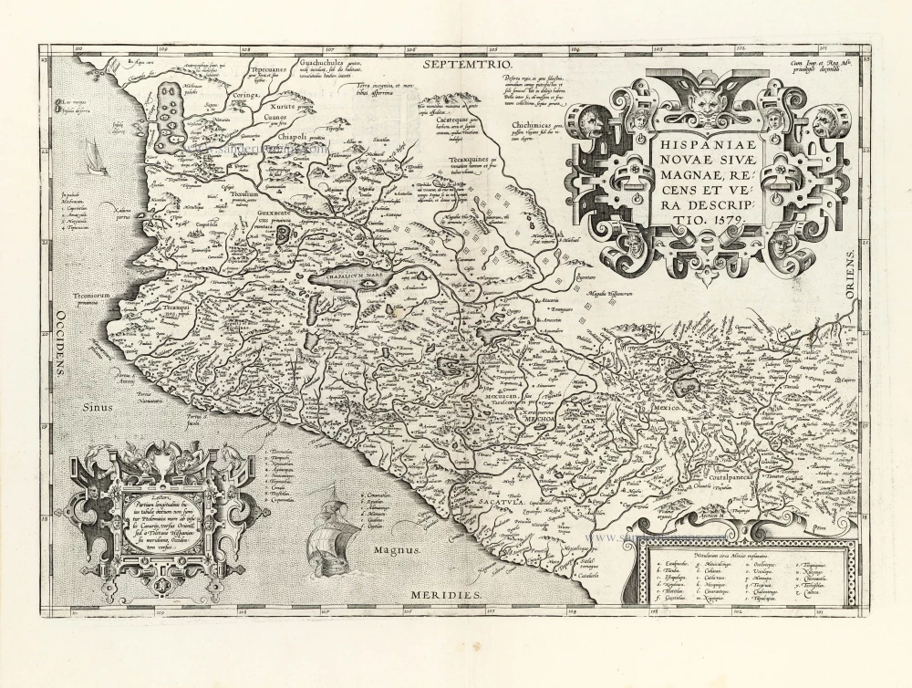
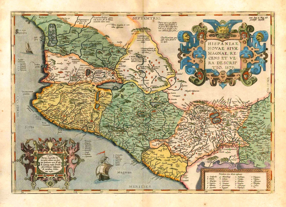
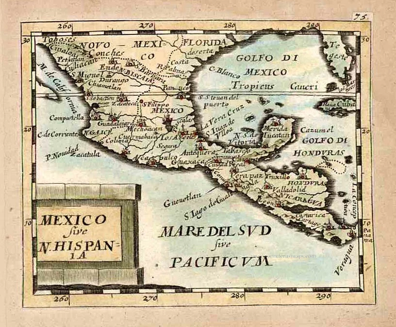
Hispania Nova.
Item Number: 26501 Authenticity Guarantee
Category: Antique maps > America > North America
Old antique map of Mexico by C. van Wytfliet.
Title: Hispania Nova.
Date of the first edition: 1597.
Date of this map: 1607.
Copper engraving, printed on paper.
Size (not including margins): 230 x 285mm (9.06 x 11.22 inches).
Verso: Blank.
Condition: Waterstain at upper centre.
Condition Rating: A.
From: Histoire Universelle des Indes Occidentales. Douai, Françoes Fabri, 1607. (Van der Krogt 3, 371:12)
In 1597 Cornelis van Wytfliet published his Augmentum to Ptolemy's Geography. This is true as much as it covers all the Americas, a part of the world unknown to the latter; however, no other connection exists. Dedicated to Philip III of Spain, it is a history of the New World, recording its discovery, natural history etc. For the book, Wytfliet had engraved nineteen maps, by whom we do not know, one of the world and eighteen regional maps of the Americas. This book can be indeed called the first atlas of America. It was an immediate success and ran to several editions. (Burden)
Cornelius Wytfliet (? – 1597)
Cornelius Wytfliet was a geographer from Leuven. After graduating with a Licentiate in Laws from the University of Leuven, Wytfliet moved to Brussels and became secretary to the Council of Brabant.
In 1597, he published the first atlas of America: the Descriptionis Ptolemaicae Augmentum (Augmentation to Ptolemy’s description). He named his work an augmentation of Ptolemy’s Geography because it covers the Americas, a part of the world unknown to Ptolemy. However, there is no other connection between the works of Ptolemy and Van Wytfliet. Dedicated to Philip III of Spain, it is a history of the New World to date, recording its discovery, natural history, etc. It provides a history of exploration and the voyages of Christopher Columbus (1492-1502), John Cabot (1497-98), Sebastian Cabot (1526-28), Francisco Pizarro (1527-35), Giovanni de Verazzano (1524), Jacques Cartier (1540-42), and Martin Frobisher (1576-78). Most of Van Wytfliet’s maps are the first or among the earliest of specific regions of North and South America.
For the book, Wytfliet had engraved nineteen maps, one of the world and eighteen regional maps of the Americas. The book was an immediate success and ran to several editions.
Two editions of the Descriptionis Ptolemaicae were published at Leuven in 1597 and 1598, and in 1603, the first Douai edition appeared, with later editions with French text. The last edition was published in Arnhem in 1615.
Related items
Hispania Nova. 1607
New Spain (Mexico) by G. Mercator.
[Item number: 362]
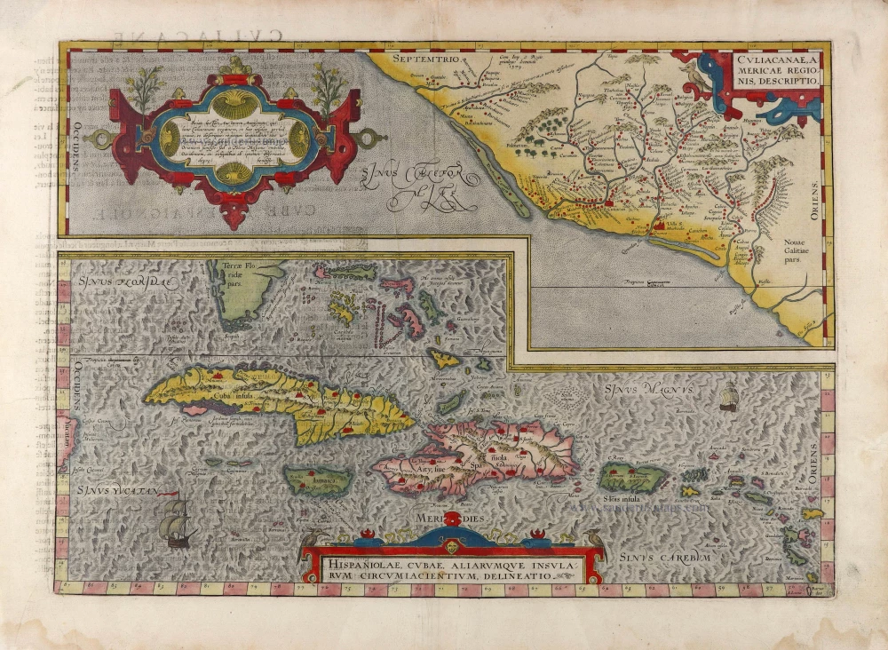
Culiacanae Americae Regionis Descriptio. - Hispaniolae, Cubae, Aliarumquae Insularum Circumiacentium, delineatio. 1581
Antilles - Mexico by Ortelius A.
[Item number: 6245]

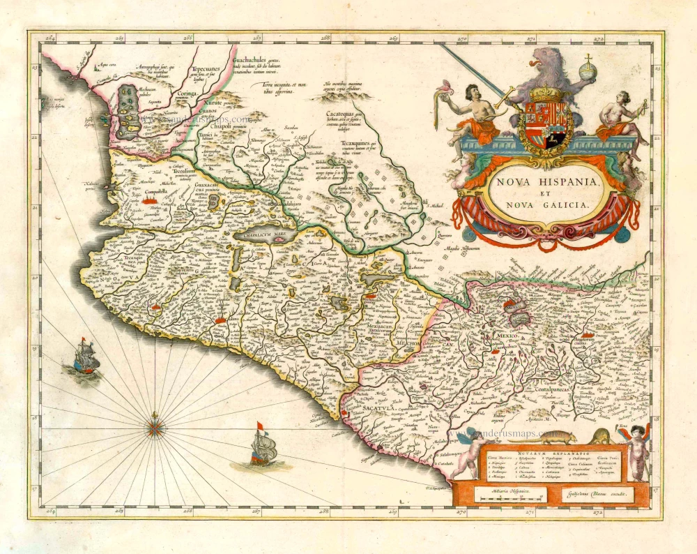
Nova Hispania, Et Nova Galicia. 1633
New Spain (Mexico) by J. Janssonius.
[Item number: 7787]
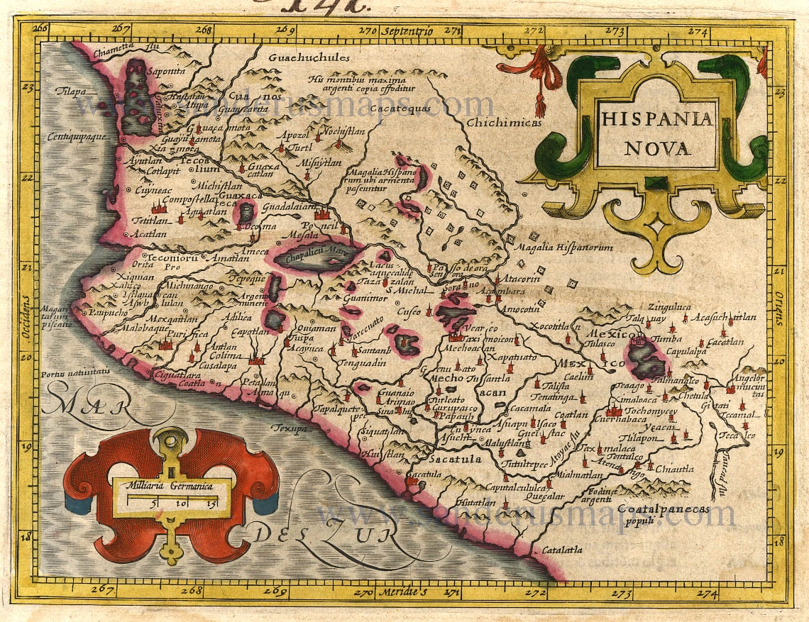
Hispaniae Novae sive Magnae Vera Descriptio. 1608
Mexico, by Quad M.-Bussemacher J.
[Item number: 15869]

Pas Kaart van de Boght van Florida met de Canaal tusschen Florida en Cuba ... 1680-1694
Sea chart of the Gulf of Mexico, Yucatan Channel, by J. Van Keulen.
[Item number: 16285]

Culiacanae Americae Regionis Descriptio. - Hispaniolae, Cubae, Aliarumquae Insularum Circumiacentium, delineatio. 1612
Antilles - Mexico, by Abraham Ortelius.
[Item number: 22951]
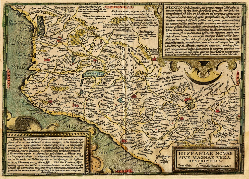
Hispaniae Novae sivae Magnae, recens et vera descriptio. 1612
New Spain (Mexico) by Abraham Ortelius.
[Item number: 23112]
Hispaniae Novae sivae Magnae, recens et vera descriptio. 1579. 1595
New Spain (Mexico) by Abraham Ortelius.
[Item number: 26297]
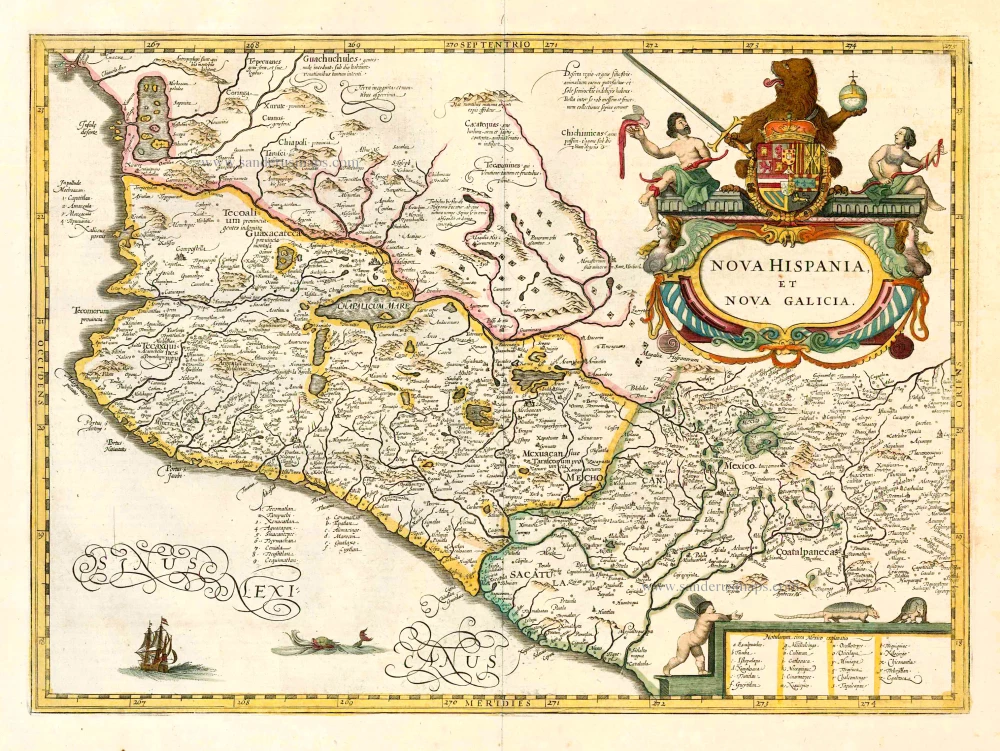
Nova Hispania et Nova Galicia. 1641
New Spain (Mexico), by Johannes Janssonius.
[Item number: 26463]
Hispania Nova. 1607
Mexico, by C. van Wytfliet.
[Item number: 26501]
Nova Hispania et Nova Galicia. 1643-50
New Spain (West Mexico), by Willem & Joan Blaeu.
[Item number: 26738]

Haven van Aquapulco in 't Coninkryk van Nova Spagnien in de Zuyd Zee. 1724-26
Acapulco, by François Valentyn (Valentijn).
[Item number: 26873]
Mexico sive N. Hispania. 1661
Mexico, by Pierre Duval.
[Item number: 27839]
Mexicana. 1602
Mexico, Texas & Florida by Bertius Petrus
[Item number: 29492]
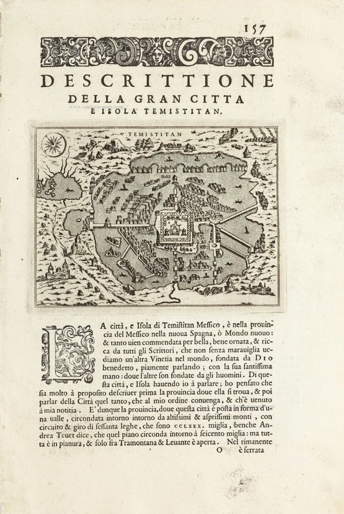
Temistitan - [Above map :] Descrittione della Gran Citta e Isola Temistitan. 1590
Mexico City by Tommaso Porcacchi.
[Item number: 29826]
Very rare.
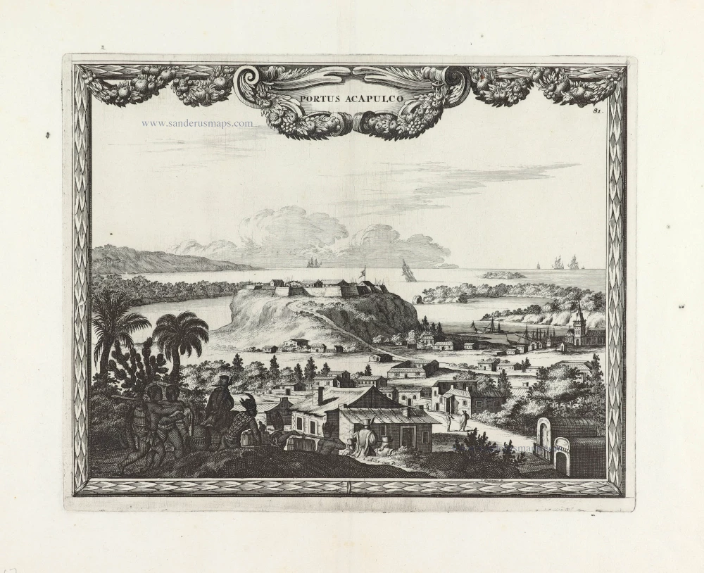
Portus Acapulco. 1685/90
View of Acapulco (Mexico) by Carel Allard.
[Item number: 30548]
new