
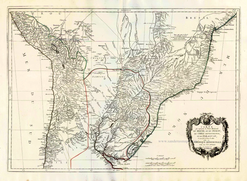
Old, antique map of Central South America, by Paolo Santini. 1776-79
Francesco and Paolo Santini (c.1729-1793)
Francesco Santini, a Venetian publisher, acquired the printing plates of Vaugondy’s Atlas Universel …, a commercial and cartographic success, with widespread influence on mapmakers throughout Europe. Together with his brother Paolo, he commissioned a new set of plates and reissued the atlas in 1776. The following year, Paolo Santini assigned all his publication rights to M. Remondini, who in 1777 reissued the same atlas but with his name.
Carte qui Représente la Partie Méridionale du Brésil et du Perou, le Chili Septentrional, et le Paraguay, ce qui Fait la Partie de milieu de l'Amérique Méridionale.
Item Number: 27012 Authenticity Guarantee
Category: Antique maps > America > South America
Old, antique map of Central South America, by Paolo Santini.
First state with the imprint of Remondini: with engraved page numbers in the top right corner: "P.II.52".
Cartographer: Jean Baptiste Bourguignon d'Anville.
Date of the first edition: 1779
Date of this map: 1779
Date on map: 1779
Copper engraving, printed on paper.
Size (not including margins): 48 x 67.5cm (18.7 x 26.3 inches)
Verso: Blank
Condition: Original coloured in outline, excellent.
Condition Rating: A+
From: Atlas Universel dressé sur les meilleures cartes modernes. Venice, Remondini, 1776-79.
Francesco and Paolo Santini (c.1729-1793)
Francesco Santini, a Venetian publisher, acquired the printing plates of Vaugondy’s Atlas Universel …, a commercial and cartographic success, with widespread influence on mapmakers throughout Europe. Together with his brother Paolo, he commissioned a new set of plates and reissued the atlas in 1776. The following year, Paolo Santini assigned all his publication rights to M. Remondini, who in 1777 reissued the same atlas but with his name.
Related items
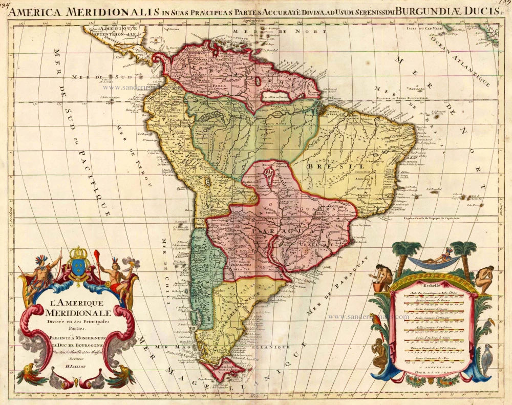
L'Amerique Meridionale Divisee en ses Principales Parties. 1756
South America, by Ottens R. & J.
[Item number: 23510]
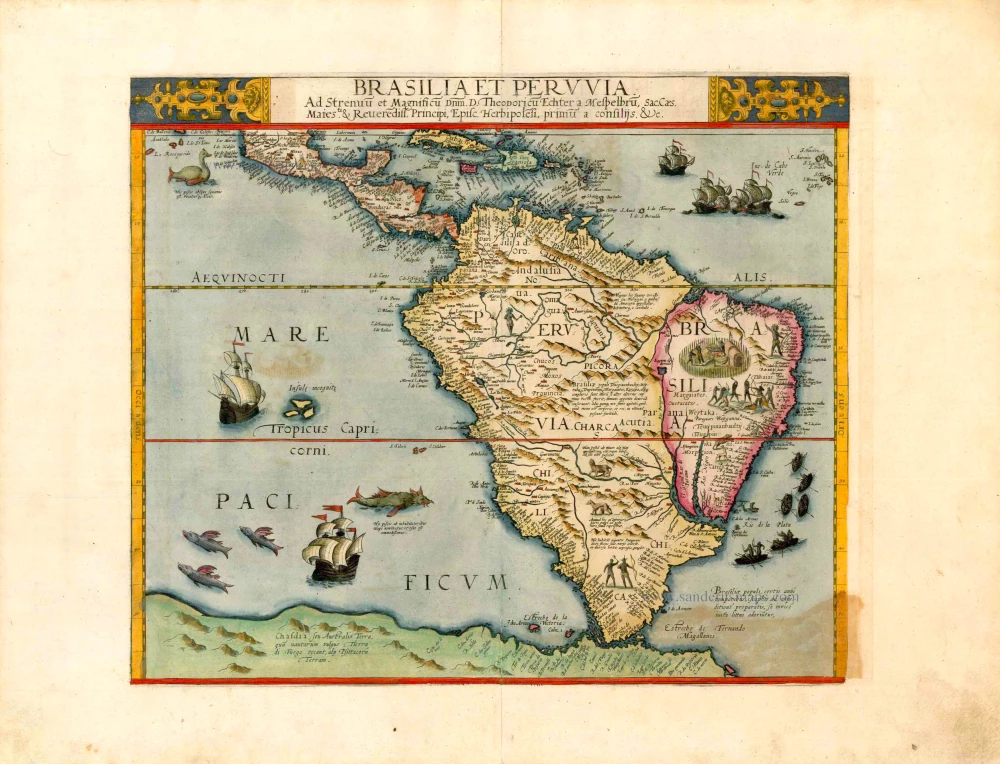
Important and rare map
Brasilia et Peruvia ... 1593
South America, by Cornelis de Jode.
[Item number: 25240]
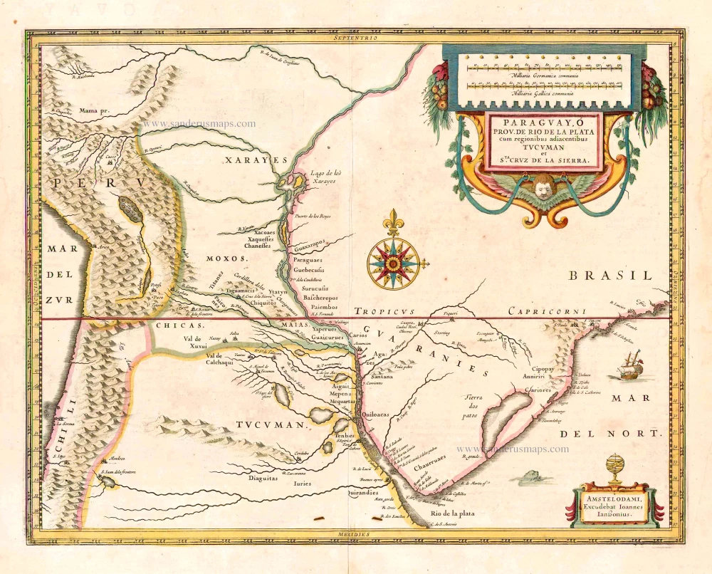
Paraguay, O Prov. de Rio de la Plata cum regionibus adiacentibus Tucuman et Sta. Cruz de la Sierra. 1641
Paraguay, by Johannes Janssonius.
[Item number: 26569]
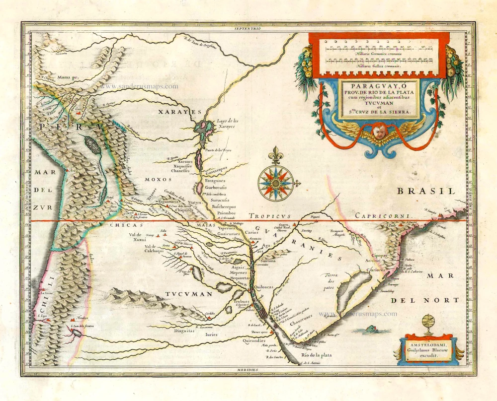
Paraguay, o Prov. de Rio de la Plata cum regionibus adiacentibus Tucuman et Sta Cruz de la Sierra. 1643-50
Paraguay, by Willem & Joan Blaeu.
[Item number: 26749]