
Venezuela, by J. de Laet. 1630
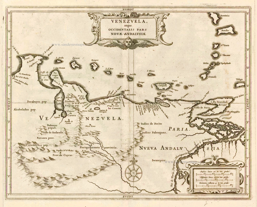
Considerable effort went into making the text and maps of this work the most accurate available at the time. It is arguably the finest description of the Americas published in the seventeenth century. The exhaustive research involved de Laet reading all of the published and manuscript material that he could find. For the cartographic work he had much to call on, being a director of the recently formed Dutch West India Company in charge of all Dutch interests in America and Africa. He therefore had access to the latest geographic knowledge. He also drew upon the fine talents of Hessel Gerritsz, the official cartographer to the Dutch East India Company since 1617. This was a post he attained before Willem Blaeu under whom he was apprenticed, and who was his senior by ten years.
The maps were some of the first to depart from the heavier style of the Mercator and Ortelius period. This more open style of engraving was one that both Blaeu and Janssonius would develop in their atlases. The first edition of the book in 1625 contained ten maps which concentrated on South America. Since then the Dutch had taken considerable interest in New Amsterdam (New York), and the work was expanded by some 100 pages and four newly engraved maps. (Burden)
Venezuela, atque Occidentalis Pars Novae Andalusiae.
Item Number: 25395 Authenticity Guarantee
Category: Antique maps > America > South America
Old, antique map of Venezuela by J. de Laet.
Cartographer: Hessel Gerritsz
Date of the first edition: 1625
Date of this map: 1630
Copper engraving
Size (not including margins): 28 x 36cm (10.9 x 14 inches)
Verso: Blank
Condition: Excellent.
Condition Rating: A+
From: Beschrijvinghe van West-Indien. Leiden, 1630.
Considerable effort went into making the text and maps of this work the most accurate available at the time. It is arguably the finest description of the Americas published in the seventeenth century. The exhaustive research involved de Laet reading all of the published and manuscript material that he could find. For the cartographic work he had much to call on, being a director of the recently formed Dutch West India Company in charge of all Dutch interests in America and Africa. He therefore had access to the latest geographic knowledge. He also drew upon the fine talents of Hessel Gerritsz, the official cartographer to the Dutch East India Company since 1617. This was a post he attained before Willem Blaeu under whom he was apprenticed, and who was his senior by ten years.
The maps were some of the first to depart from the heavier style of the Mercator and Ortelius period. This more open style of engraving was one that both Blaeu and Janssonius would develop in their atlases. The first edition of the book in 1625 contained ten maps which concentrated on South America. Since then the Dutch had taken considerable interest in New Amsterdam (New York), and the work was expanded by some 100 pages and four newly engraved maps. (Burden)
Related items
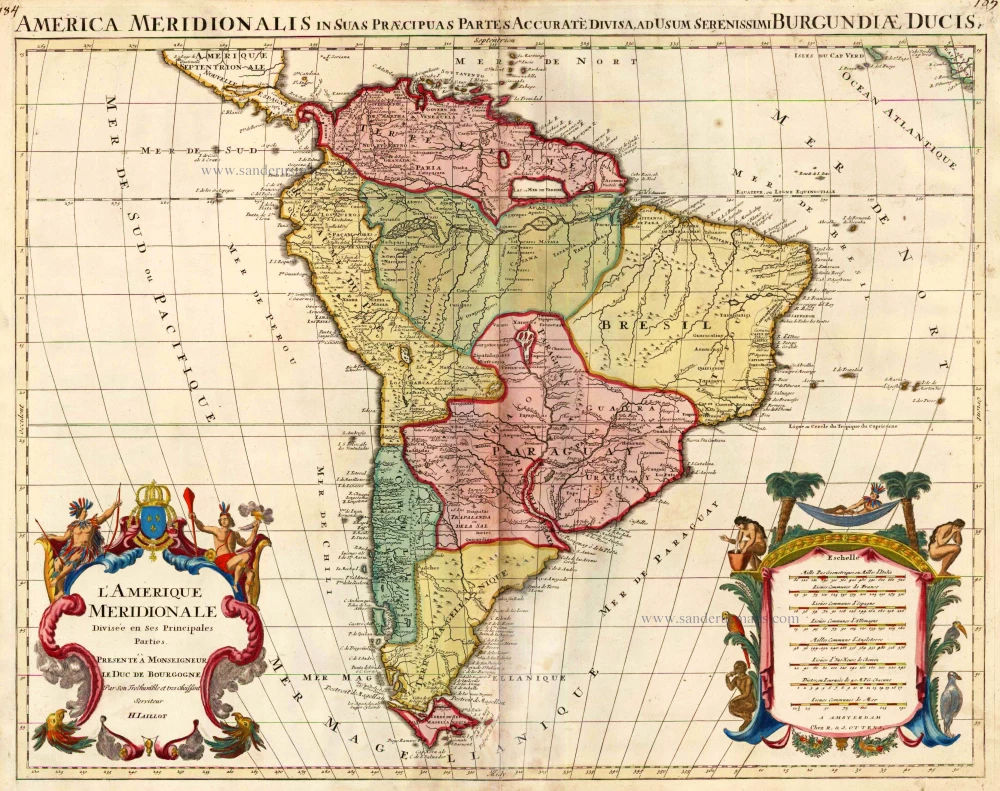
L'Amerique Meridionale Divisee en ses Principales Parties. 1756
South America, by Ottens R. & J.
[Item number: 23510]
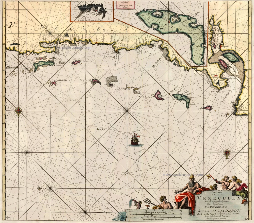
Pas-Kaart vande Zee-Kusten van Veneçuela met de Byleggende Eylanden 1697-1709
Sea chart of Venezuela, by J. Van Keulen.
[Item number: 13681]
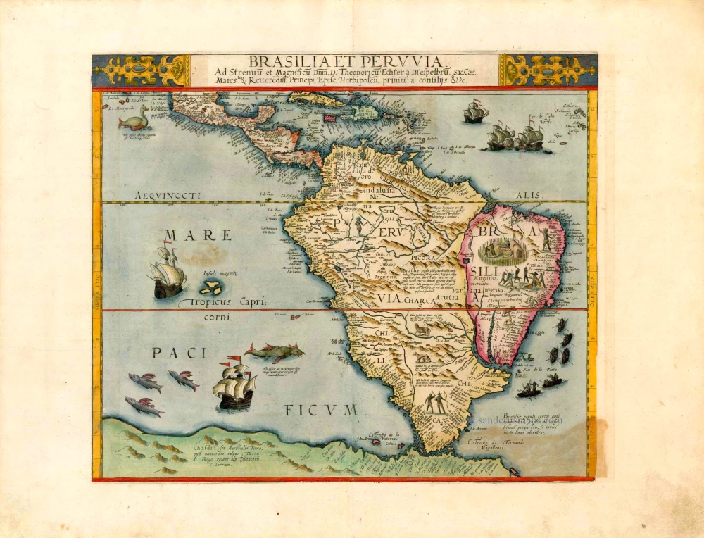
Important and rare map
Brasilia et Peruvia ... 1593
South America, by Cornelis de Jode.
[Item number: 25240]
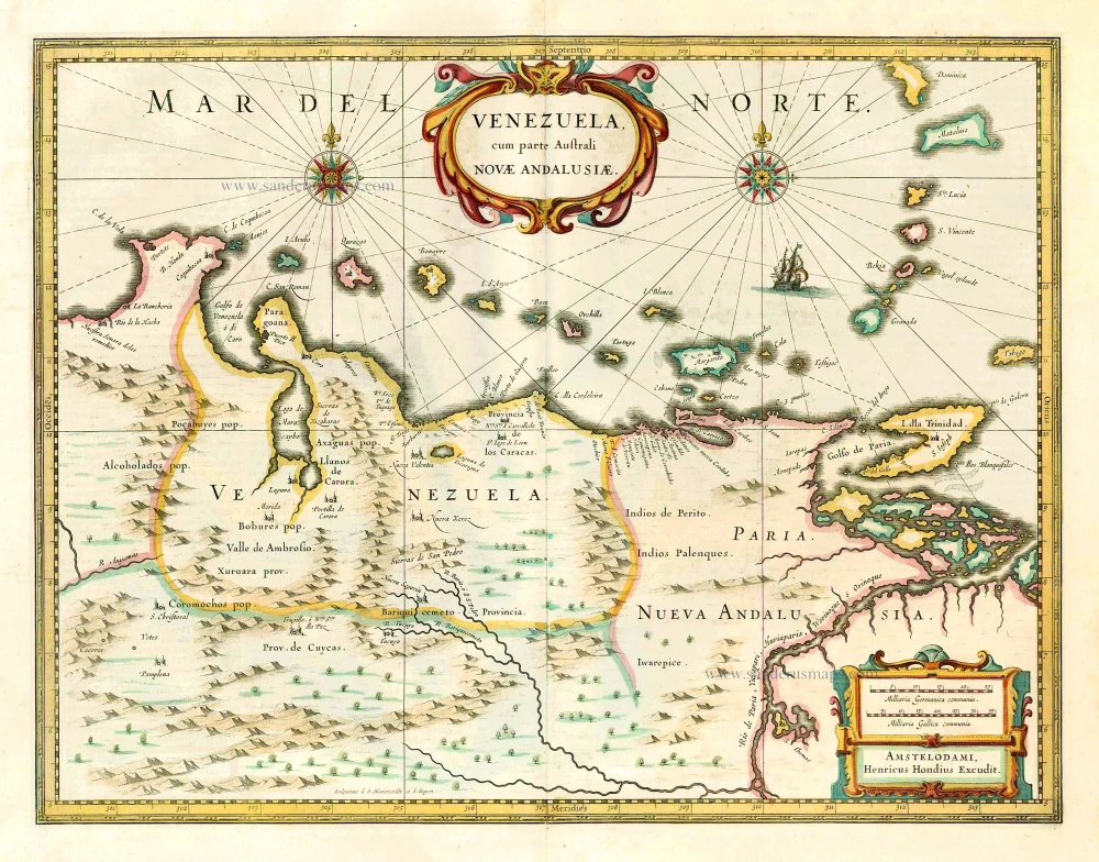
Venezuela cum parte Australi. Novae Andalusiae. 1641
Venezuela, by Henricus Hondius.
[Item number: 26467]
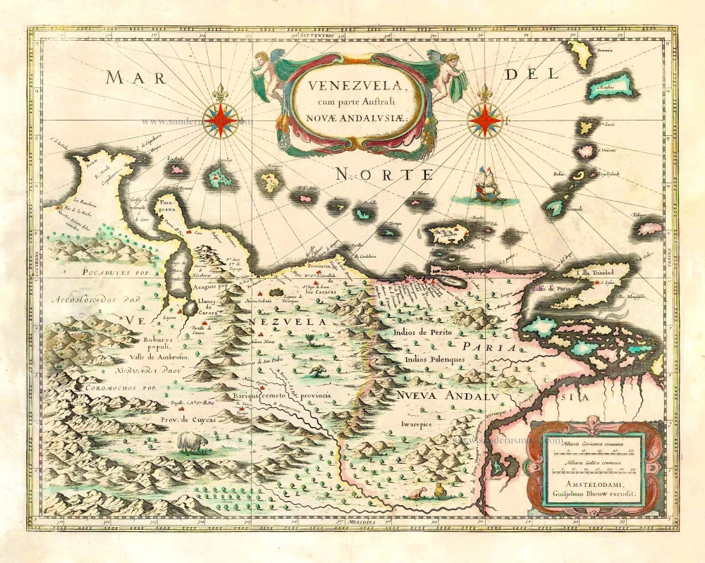
Venezuela, cum parte Australi Novae Andalusiae. 1643-50
Venezuela, by Willem & Joan Blaeu.
[Item number: 26740]