
Tartary, by Abraham Ortelius. 1612
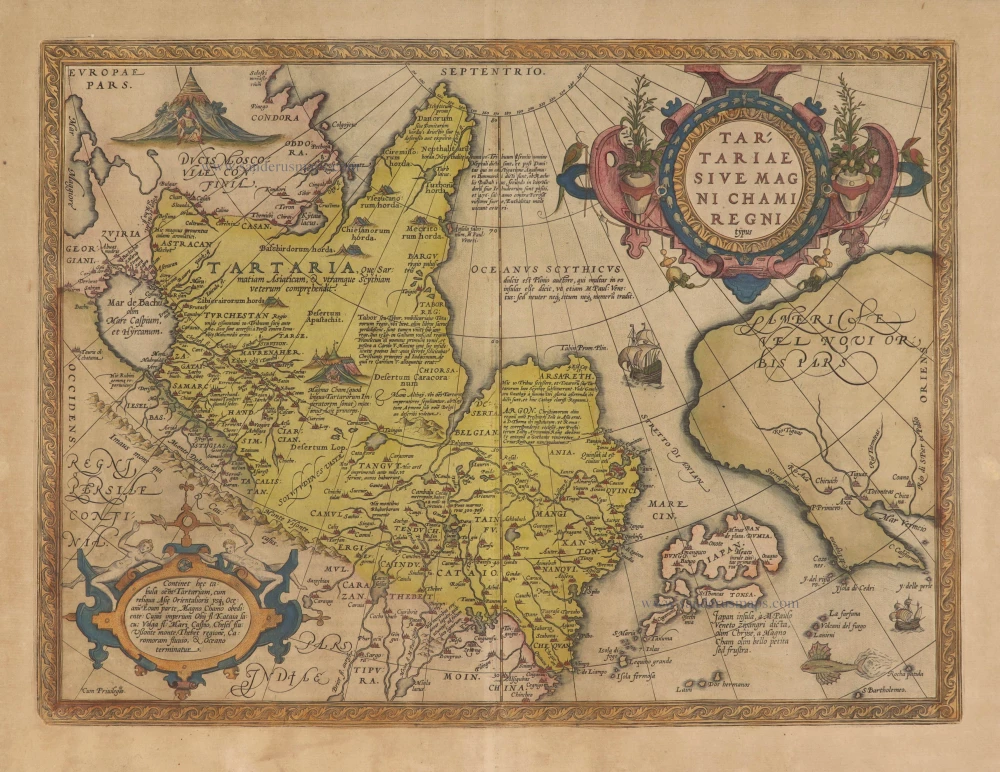


"This is a very early depiction of the northern Pacific. Its main feature is the STRETTO DI ANIAN. This increased the public awareness of the 1561 Giacomo Gastaldi theory of a strait between the continents of Asia and America. At its southern entrance, an enlarged Japan dominates, below which a note states that a large amount of the information in Asia emanates from the writings of Marco Polo. The west coast of North America differs from his map of America in that the peninsula is broader, some different names appear, and others are lacking." (Burden)
Abraham Ortelius (1527-1598)
The maker of the 'first atlas', the Theatrum Orbis Terrarum (1570), was born on 4 April 1527 into an old Antwerp family. He learned Latin and studied Greek and mathematics.
Abraham and his sisters Anne and Elizabeth took up map colouring. He was admitted to the Guild of St. Luke as an "illuminator of maps." Besides colouring maps, Ortelius was a dealer in antiques, coins, maps, and books, with the book and map trade gradually becoming his primary occupation.
Business went well because his means permitted him to start an extensive collection of medals, coins, antiques, and a library of many volumes. In addition, he travelled a lot and visited Italy and France, made contacts everywhere with scholars and editors, and maintained extensive correspondence with them.
In 1564 he published his first map, a large and ambitious world wall map. The inspiration for this map may well have been Gastaldi's large world map. In 1565 he published a map of Egypt and a map of the Holy Land, a large map of Asia followed.
In 1568 the production of individual maps for his atlas Theatrum Orbis Terrarum was already in full swing. He completed the atlas in 1569, and in May of 1570, the Theatrum was available for sale. It was one of the most expensive books ever published.
This first edition contained seventy maps on fifty-three sheets. Franciscus Hogenberg engraved the maps.
Later editions included Additamenta (additions), resulting in Ortelius' historical atlas, the Parergon, mostly bound together with the atlas. The Parergon can be called a truly original work of Ortelius, who drew the maps based on his research.
The importance of the Theatrum Orbis Terrarum for geographical knowledge in the last quarter of the sixteenth century is difficult to overemphasize. Nothing was like it until Mercator's atlas appeared twenty-five years later. Demand for the Theatrum was remarkable. Some 24 editions appeared during Ortelius's lifetime and another ten after his death in 1598. Editions were published in Dutch, German, French, Spanish, English, and Italian. The number of map sheets grew from 53 in 1570 to 167 in 1612 in the last edition.
In 1577, engraver Philip Galle and poet-translator Pieter Heyns published the first pocket-sized edition of the Theatrum, the Epitome. The work was trendy. Over thirty editions of this Epitome were published in different languages.
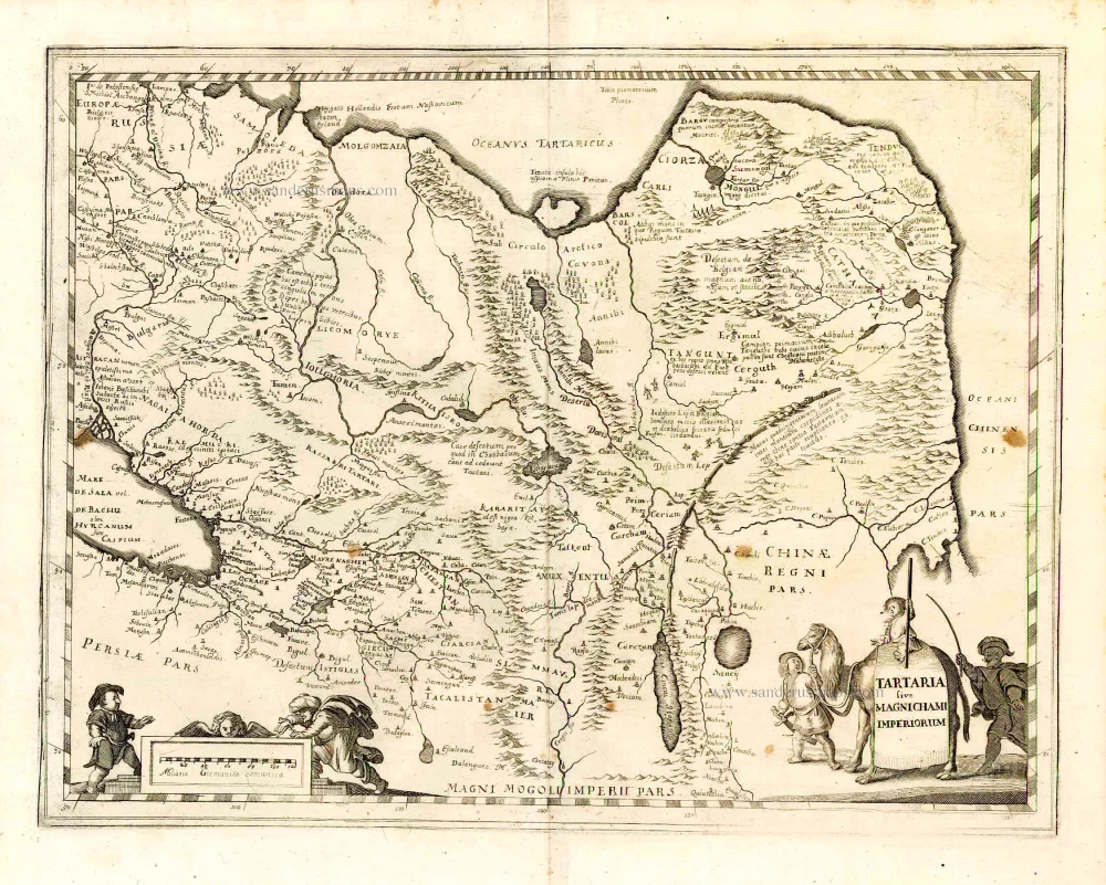
Tartariae Sive Magni Chami Regni Typus.
Item Number: 27973 Authenticity Guarantee
Category: Antique maps > Asia > Central Asia
Old, antique map of Tartary, Japan, Alaska and the Northern Pacific, by Abraham Ortelius.
Title: Tartariae Sive Magni Chami Regni Typus.
Cum Privilegio.
Date of the first edition: 1570.
Date of this map: 1612.
Copper engraving, printed on paper.
Size (not including margins): 354 x 474mm (13.94 x 18.66 inches).
Verso: Spanish text.
Condition: Original coloured, age toned.
Condition Rating: B
References: Van der Krogt 3, 8050:31; Van den Broecke, 163.3; Burden #41
From: Ortelius A. Theatro d'el Orbe de la Tierra. Antwerp. Plantin Press, 1612. (Van der Krogt 3, 1:453)
"This is a very early depiction of the northern Pacific. Its main feature is the STRETTO DI ANIAN. This increased the public awareness of the 1561 Giacomo Gastaldi theory of a strait between the continents of Asia and America. At its southern entrance, an enlarged Japan dominates, below which a note states that a large amount of the information in Asia emanates from the writings of Marco Polo. The west coast of North America differs from his map of America in that the peninsula is broader, some different names appear, and others are lacking." (Burden)
Abraham Ortelius (1527-1598)
The maker of the 'first atlas', the Theatrum Orbis Terrarum (1570), was born on 4 April 1527 into an old Antwerp family. He learned Latin and studied Greek and mathematics.
Abraham and his sisters Anne and Elizabeth took up map colouring. He was admitted to the Guild of St. Luke as an "illuminator of maps." Besides colouring maps, Ortelius was a dealer in antiques, coins, maps, and books, with the book and map trade gradually becoming his primary occupation.
Business went well because his means permitted him to start an extensive collection of medals, coins, antiques, and a library of many volumes. In addition, he travelled a lot and visited Italy and France, made contacts everywhere with scholars and editors, and maintained extensive correspondence with them.
In 1564 he published his first map, a large and ambitious world wall map. The inspiration for this map may well have been Gastaldi's large world map. In 1565 he published a map of Egypt and a map of the Holy Land, a large map of Asia followed.
In 1568 the production of individual maps for his atlas Theatrum Orbis Terrarum was already in full swing. He completed the atlas in 1569, and in May of 1570, the Theatrum was available for sale. It was one of the most expensive books ever published.
This first edition contained seventy maps on fifty-three sheets. Franciscus Hogenberg engraved the maps.
Later editions included Additamenta (additions), resulting in Ortelius' historical atlas, the Parergon, mostly bound together with the atlas. The Parergon can be called a truly original work of Ortelius, who drew the maps based on his research.
The importance of the Theatrum Orbis Terrarum for geographical knowledge in the last quarter of the sixteenth century is difficult to overemphasize. Nothing was like it until Mercator's atlas appeared twenty-five years later. Demand for the Theatrum was remarkable. Some 24 editions appeared during Ortelius's lifetime and another ten after his death in 1598. Editions were published in Dutch, German, French, Spanish, English, and Italian. The number of map sheets grew from 53 in 1570 to 167 in 1612 in the last edition.
In 1577, engraver Philip Galle and poet-translator Pieter Heyns published the first pocket-sized edition of the Theatrum, the Epitome. The work was trendy. Over thirty editions of this Epitome were published in different languages.
Related items
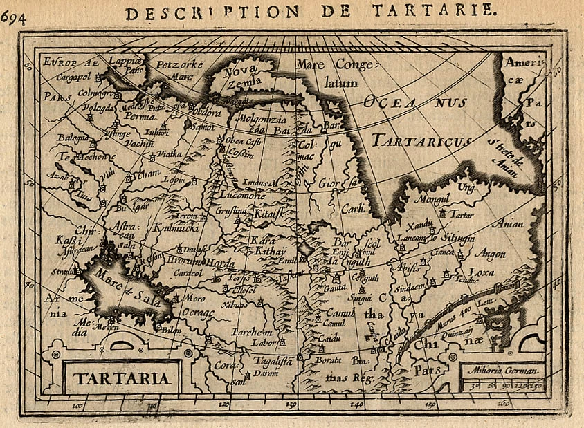
Tartaria. 1618
Tartary by Petrus Bertius
[Item number: 18290]
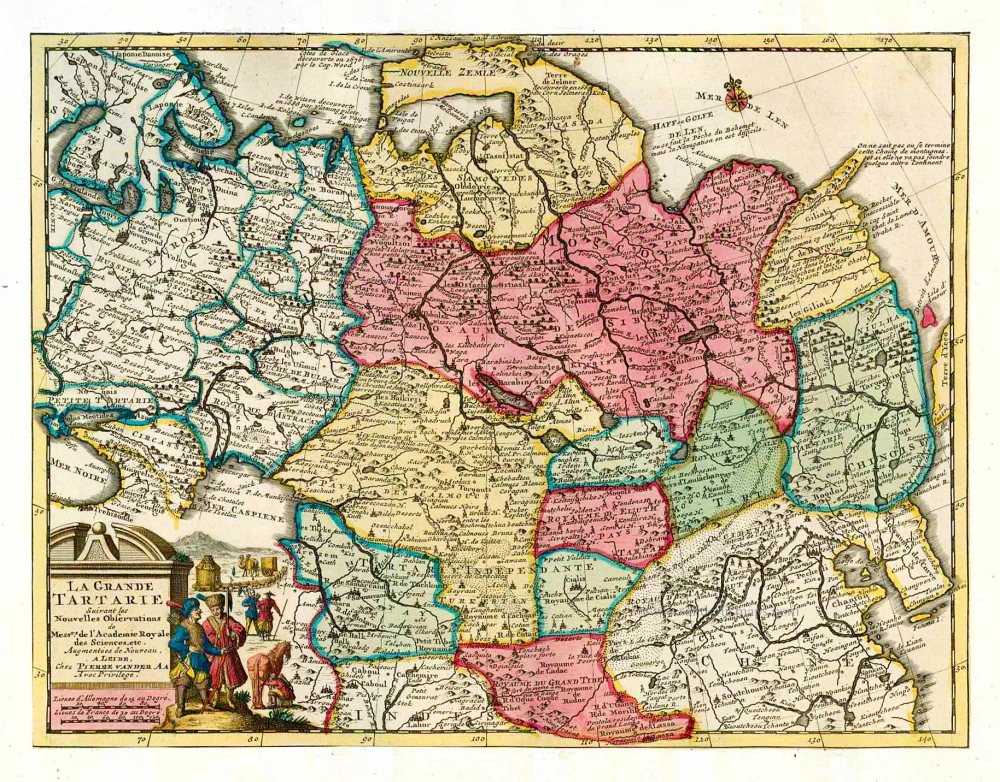
La Grande Tartarie. 1713
Tartary, by Pieter van der Aa.
[Item number: 26112]
Tartaria sive Magnichami Imperiorum. 1638
Tartary, by M. Merian.
[Item number: 26616]

Carte de Tartarie Dressée sur les Relations de Plusieurs Voyageurs de Differentes Nations ... 1730
Tartary by Guillaume Delisle, published by Covens & Mortier.
[Item number: 25837]

Tabu. .VII. Asiae. 1525
Central Asia, by Lorenz Fries.
[Item number: 27997]
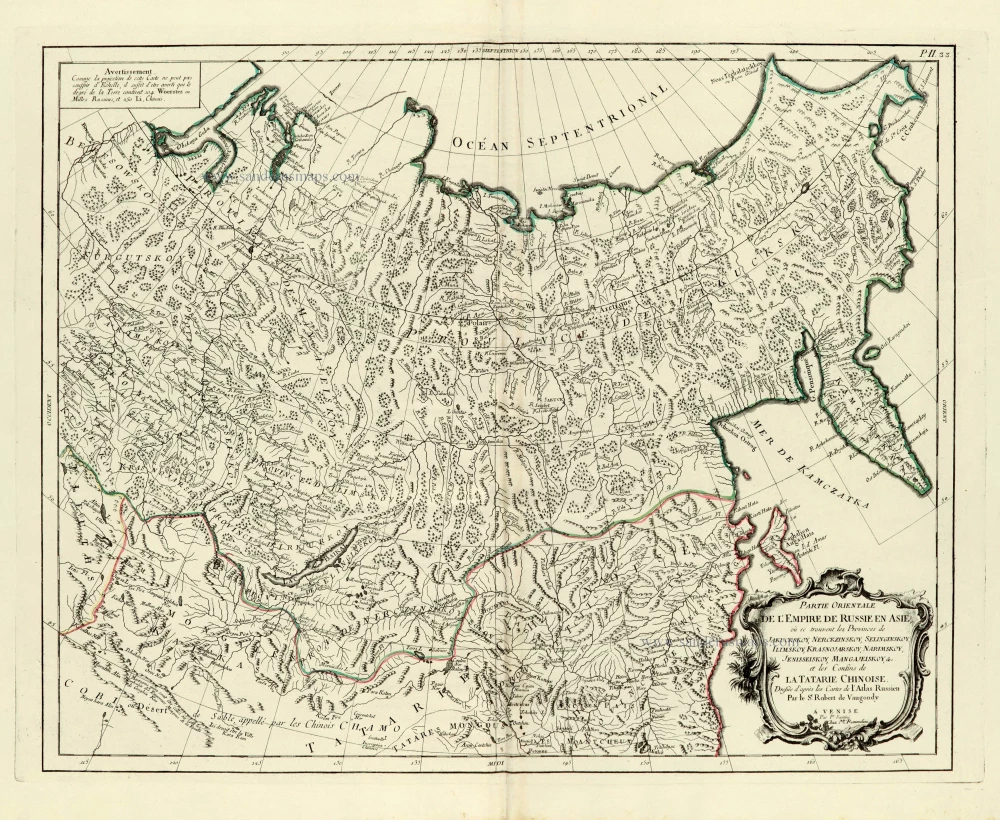
Partie orientale de l'Empire de Russie en Asie. 1776-79
Asiatic Russia, by Paolo Santini.
[Item number: 28095]