
The Holy Land by Heinrich Bünting. 1582
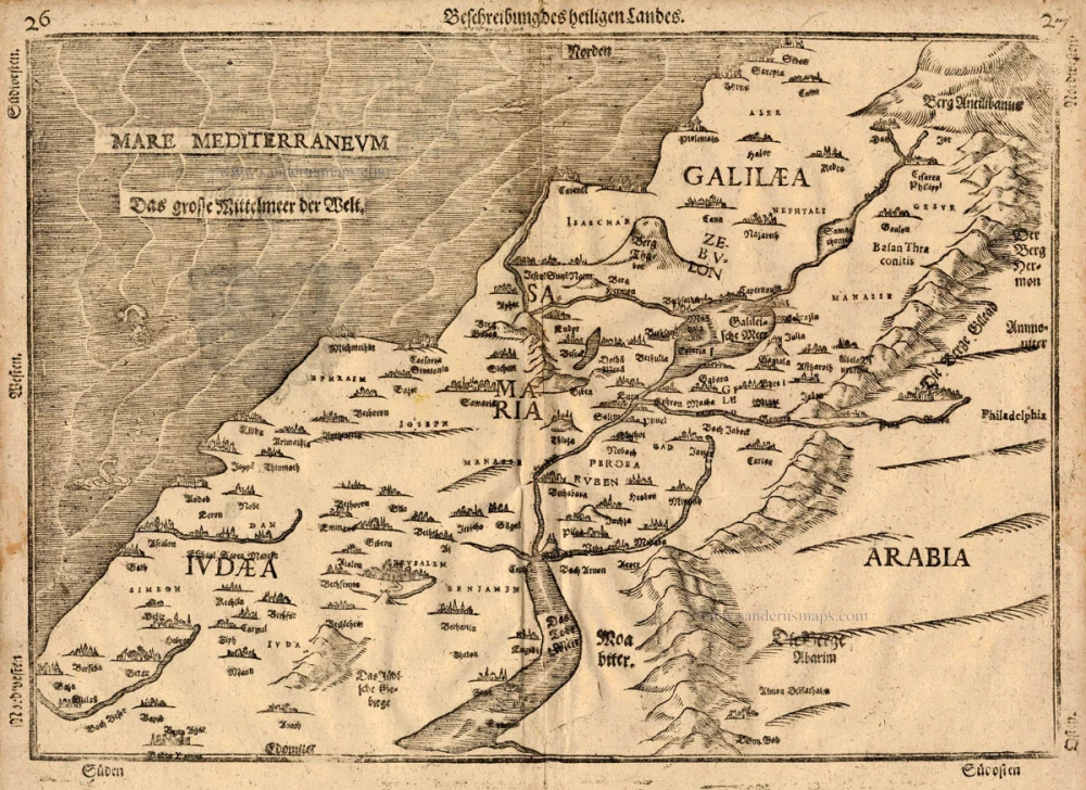
This is one of ten maps in Bünting's Itinerarium, in which the author, a theological commentator, rewrote the Bible as an illustrated travel book. Other maps in the series bear out his imaginative approach to cartography, which pictures the World as a cloverleaf, Europe as the Queen of the World, and Asia as Pegasus.
Heinrich Bünting (Hannover, 1545-1606)
Heinrich Bünting was a protestant pastor and theologian. He was also a brewer in Hannover, and he was concerned with history and wrote a Braunschweigische Chronica in 1584. His main work was the popular Itinerarium Sacrae Scripturae, which after the first edition in Magdeburg in 1581 had many editions in German, Latin, Dutch, Swedish, Danish, Czech and English.
The book gave an overview of biblical geography based on the travel descriptions of various notable people from the Old and New Testaments. It contained ten woodcut maps, including three figurative maps: the world depicted as a cloverleaf with Jerusalem in the centre, Europe in the shape of a crowned woman, and Asia as the winged horse Pegasus.
Beschreibung des Heiligen Landes
Item Number: 18423 Authenticity Guarantee
Category: Antique maps > Asia > Holy Land
Old, antique map of the Holy Land, by Heinrich Bünting.
Title: Beschreibung des Heiligen Landes
Date of the first edition: 1582.
Date of this map: 1582.
Woodcut, printed on paper.
Size (not including margins): 265 x 375mm (10.43 x 14.76 inches).
Verso: German text.
Condition: Excellent.
Condition Rating: A+.
References: Laor, p. 20 #141
From: Itinerarium Sacrae Scriptura . . . Helmstadt, Jacobus Lucius, 1582.
This is one of ten maps in Bünting's Itinerarium, in which the author, a theological commentator, rewrote the Bible as an illustrated travel book. Other maps in the series bear out his imaginative approach to cartography, which pictures the World as a cloverleaf, Europe as the Queen of the World, and Asia as Pegasus.
Heinrich Bünting (Hannover, 1545-1606)
Heinrich Bünting was a protestant pastor and theologian. He was also a brewer in Hannover, and he was concerned with history and wrote a Braunschweigische Chronica in 1584. His main work was the popular Itinerarium Sacrae Scripturae, which after the first edition in Magdeburg in 1581 had many editions in German, Latin, Dutch, Swedish, Danish, Czech and English.
The book gave an overview of biblical geography based on the travel descriptions of various notable people from the Old and New Testaments. It contained ten woodcut maps, including three figurative maps: the world depicted as a cloverleaf with Jerusalem in the centre, Europe in the shape of a crowned woman, and Asia as the winged horse Pegasus.
Related items

Palaestinae sive totius Terrae Promissionis nova descriptio Auctore Tilemanno Stella Sigenensi. 1624
Holy Land, by Abraham Ortelius.
[Item number: 1583]
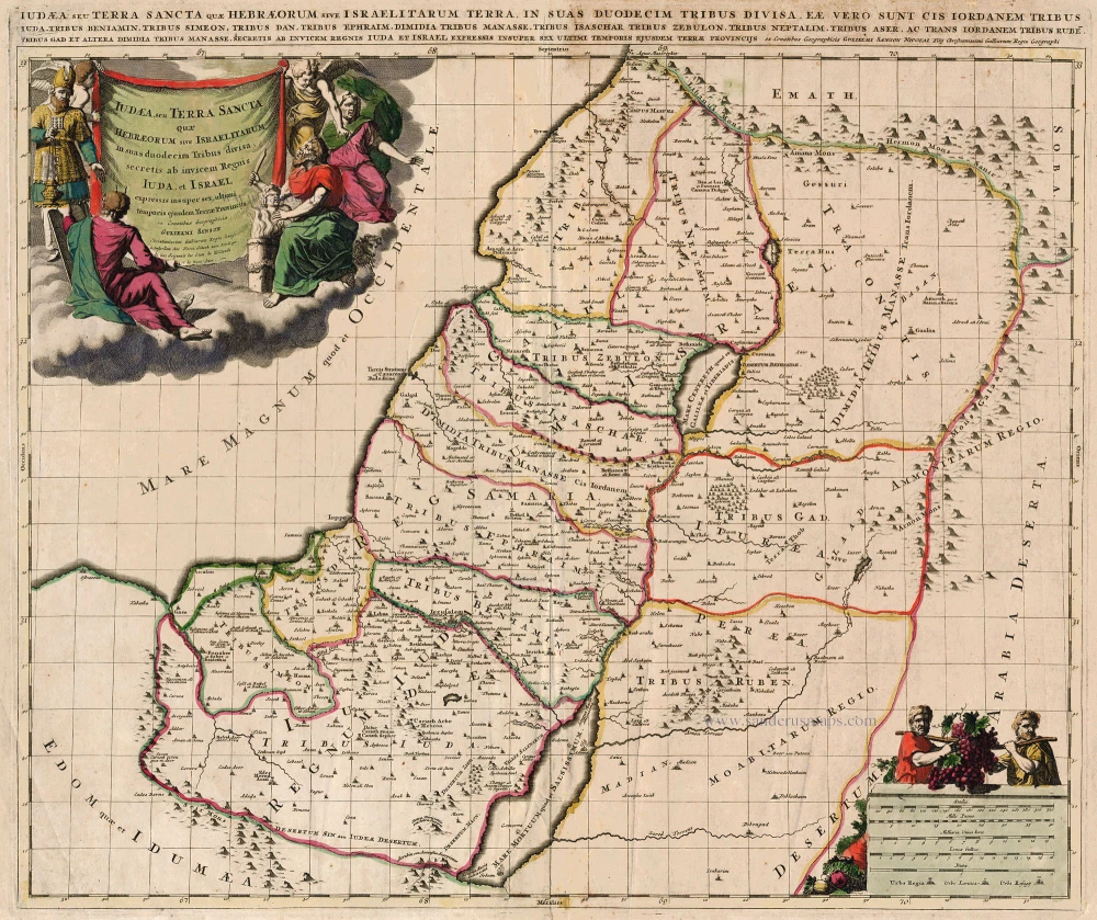
Iudaea, seu Terra Sancta quae Hebraeorum sive Israelitarum ... c. 1700
HOLY LAND by Schenk P.
[Item number: 19146]
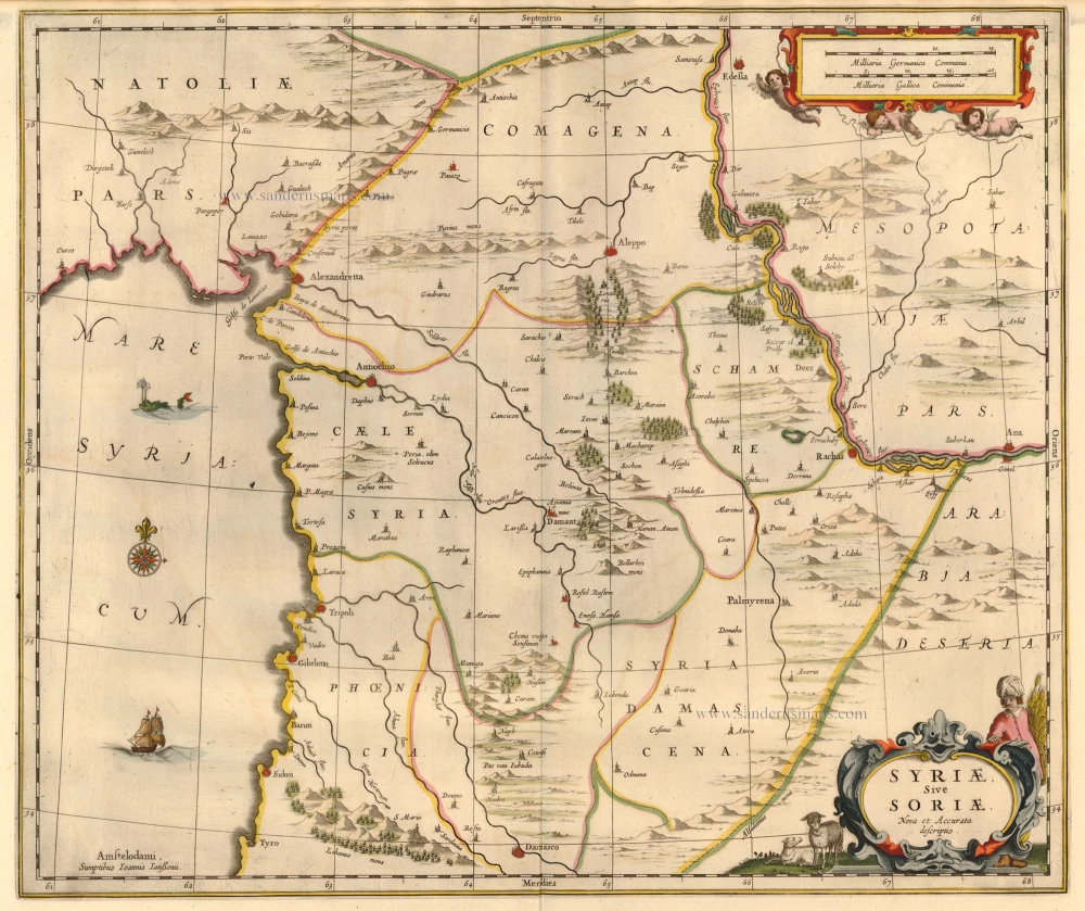
Syriae Sive Soriae. Nova et Accurata descriptio. c. 1658
Syria, by Janssonius J.
[Item number: 19520]

Terra Sancta, A Petro Laicstain perlustrata, et ab eius ore et schedisà Chistino Schrot in tabulam redacta. 1612
Holy Land by Abraham Ortelius.
[Item number: 23099]

Situs Terrae Canaan sive Terrae Promissionis, hodie Palestinae, ... 1710
The Holy Land, by Jaillot - Covens & Mortier.
[Item number: 23600]
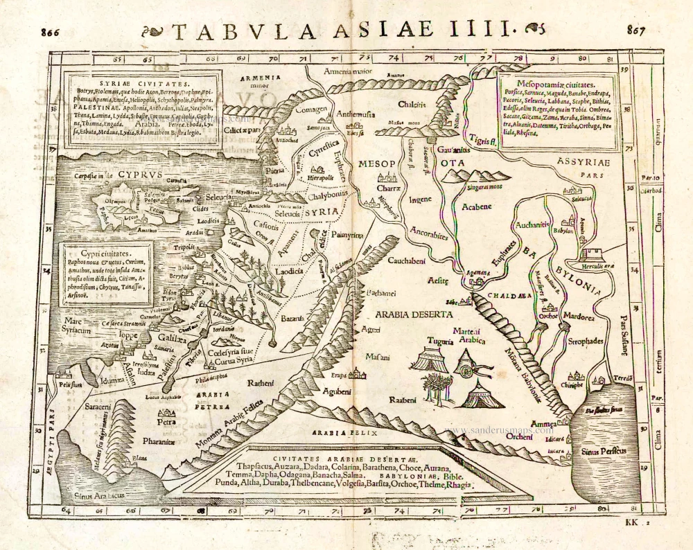
Tabula Asiae IIII. 1571
Middle East - Cyprus - Holy Land by Strabo - Sebastian Münster
[Item number: 25653]

Terre Sainte Suivant les Nouvelles Observations. 1713
The Holy Land, by Pieter van der Aa.
[Item number: 26110]

La Judée ou Terre Sainte divisée en ses Douze Tribus. 1776-79
Holy Land, by Paolo Santini.
[Item number: 27015]

Tabula .IIII. Asiae. 1525
Middle East, by Lorenz Fries.
[Item number: 27995]
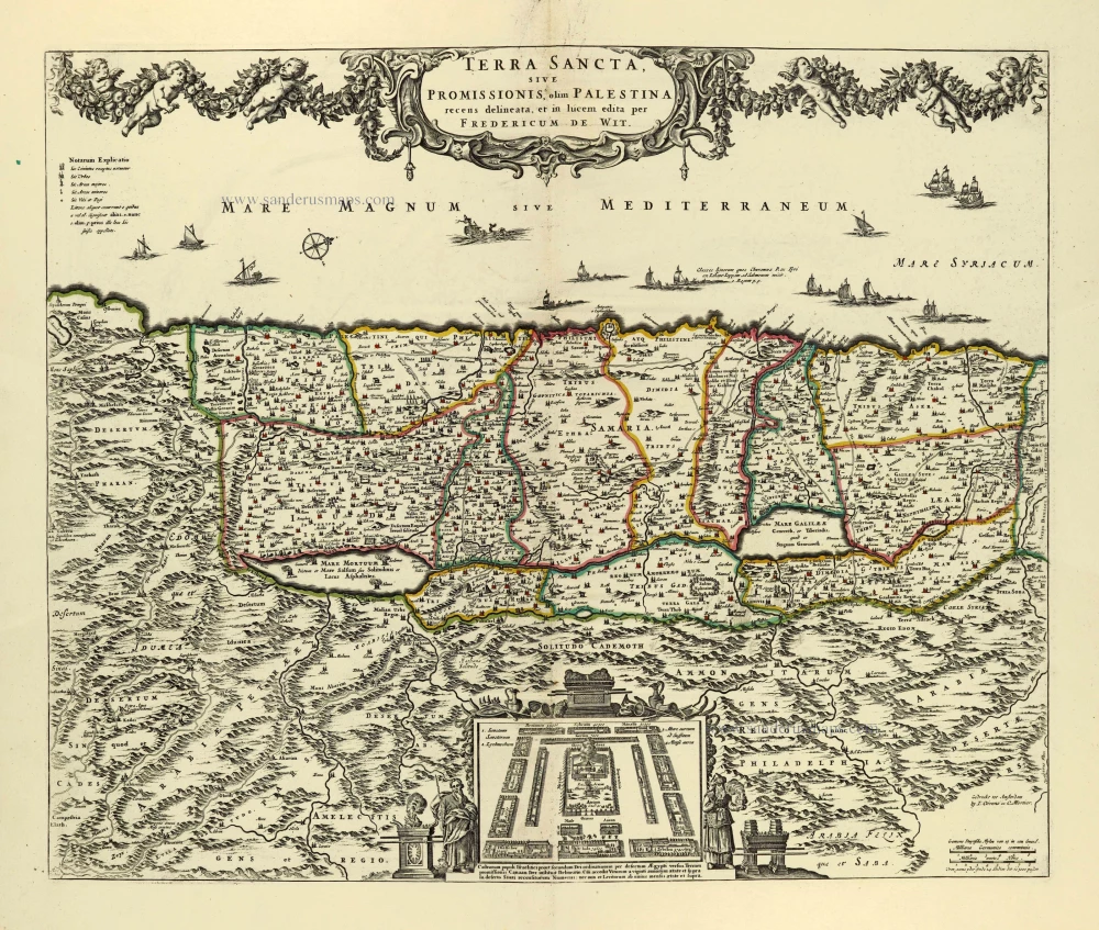
Terra Sancta, sive Promissionis, olim Palestina. after 1721
Holy Land by Frederik de Wit, published by Covens & Mortier.
[Item number: 28329]