
Japan by R. & I. Ottens 1730-45


The Ottens Family
Joachim Ottens (1663-1719), was a copper-engraver and the founder of the print- and mapsellers’ firm in Amsterdam. In 1710 he became a member of the art- and printsellers guild. After he died in 1719, his widow and the sons continued the business under the name “In de Wereldcaert” (In the world map). On the whole, the Ottens’s financial position was rather weak, and the stock was not very large.
In a notary contract dated 20 October 1726, the partnership between the two brothers, Reinier and Josua, was stipulated. Despite separate shops, the brothers’ partnership continued until the death of Renier in 1750.
After Joshua died in 1765, his widow continued the firm, together with her son, Renier II, until c. 1780.
The firm flourished mainly between 1719 and c. 1750. In that period, they advertised at various times the publication of new maps.
Ottens’s greatest fame comes from the voluminous atlases assembled to order. A small number of these so-called ‘Atlas factice’, splendid copies with gorgeous illumination, have survived. These collector’s copies are known to exist in 2, 6, 8, 11, and even 15 volumes. Ottens also published atlases in one volume, with a varying number of maps, pocket atlases, collections of military plans, and Renard’s atlas de la navigation.
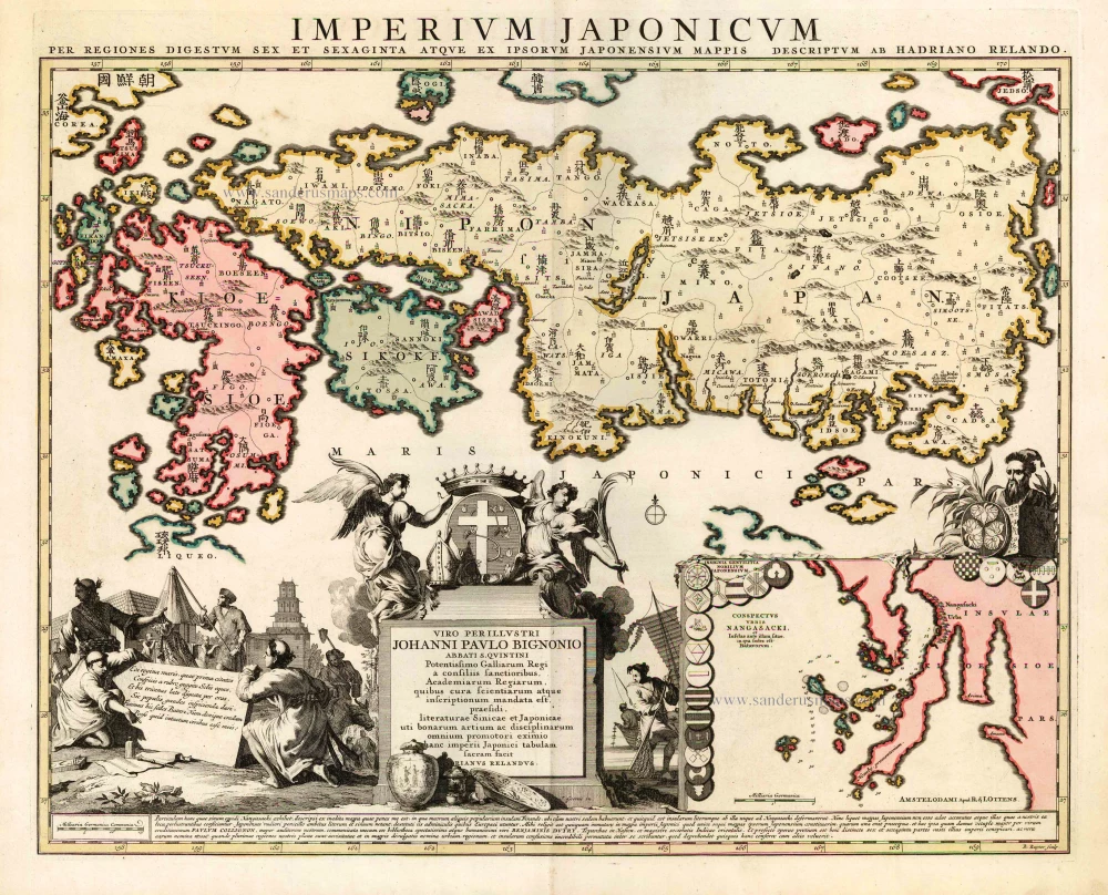
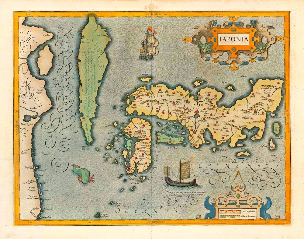
Imperium Japonicum per Regiones Digestum sex et sexaginta atque ex Ipsorum Japonensium Mappis.
Item Number: 25713 Authenticity Guarantee
Category: Antique maps > Asia > Japan
Old, antique map of Japan by Adrien Reland, published by R. & J. Ottens.
With an inset showing the Bay of Nagasaki.
Title: Imperium Japonicum per Regiones Digestum sex et sexaginta atque ex Ipsorum Japonensium Mappis.
Cartographer: Adrien Reland.
Date: 1730-45.
Copper engraving, printed on paper.
Size (not including margins): 485 x 590mm (19.09 x 23.23 inches).
Verso: Blank.
Condition: Original coloured, excellent.
Condition Rating: A+.
From: Atlas sive Geographia compendiosa in qua Orbis Terrarum pacis attamen novissimis Tabulis Ostenditur. - Atlas Nouveau, contenant toutes les partis du monde ... R. & I. Ottens, 1730-45. (Composite Atlas).
The Ottens Family
Joachim Ottens (1663-1719), was a copper-engraver and the founder of the print- and mapsellers’ firm in Amsterdam. In 1710 he became a member of the art- and printsellers guild. After he died in 1719, his widow and the sons continued the business under the name “In de Wereldcaert” (In the world map). On the whole, the Ottens’s financial position was rather weak, and the stock was not very large.
In a notary contract dated 20 October 1726, the partnership between the two brothers, Reinier and Josua, was stipulated. Despite separate shops, the brothers’ partnership continued until the death of Renier in 1750.
After Joshua died in 1765, his widow continued the firm, together with her son, Renier II, until c. 1780.
The firm flourished mainly between 1719 and c. 1750. In that period, they advertised at various times the publication of new maps.
Ottens’s greatest fame comes from the voluminous atlases assembled to order. A small number of these so-called ‘Atlas factice’, splendid copies with gorgeous illumination, have survived. These collector’s copies are known to exist in 2, 6, 8, 11, and even 15 volumes. Ottens also published atlases in one volume, with a varying number of maps, pocket atlases, collections of military plans, and Renard’s atlas de la navigation.
Related items
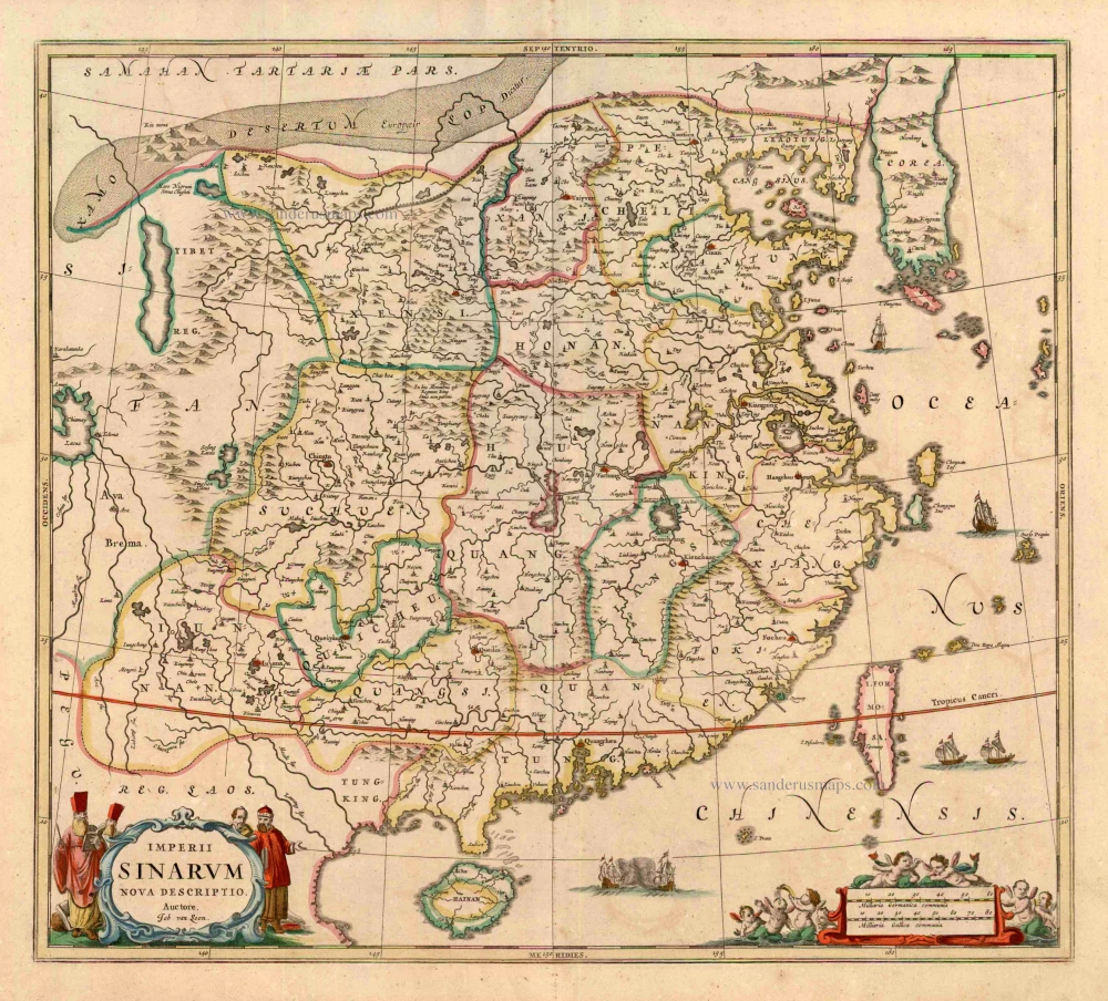
Imperii Sinarum Nova Descriptio. c. 1680.
China with Japan, Korea and Taiwan, by J. Janssonius.
[Item number: 2618]
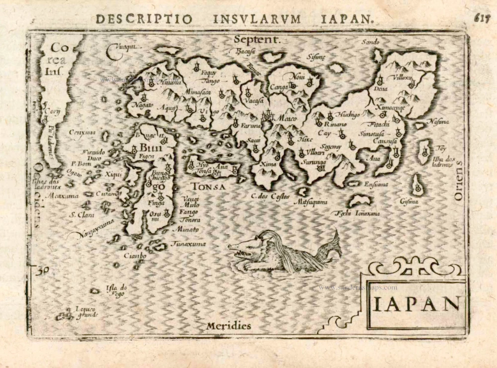
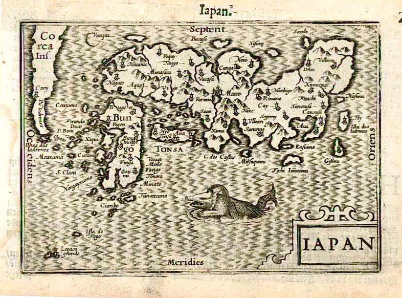
Iapan. 1602
Japan by Langenes, published by Bertius P.
[Item number: 12487]
Scarce map in old colour
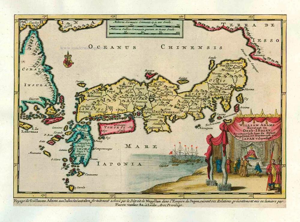
William Adams Reystogt na Oost-Indien; Avontuurlyk door de Straat Magellaan, in't Keyzerryk van Japan Voleyndigd. 1713
Japan by P. Van der Aa
[Item number: 26121]
In rare old colour
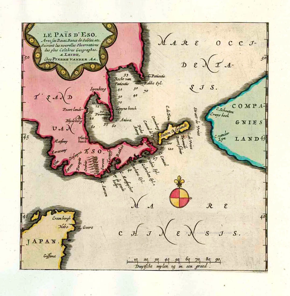
Le Païs d'Eso, Avec ses Baies, Bancs de Sables, etc. 1713
Eso (Hokkaido), by Pieter van der Aa.
[Item number: 26122]
In rare old colour
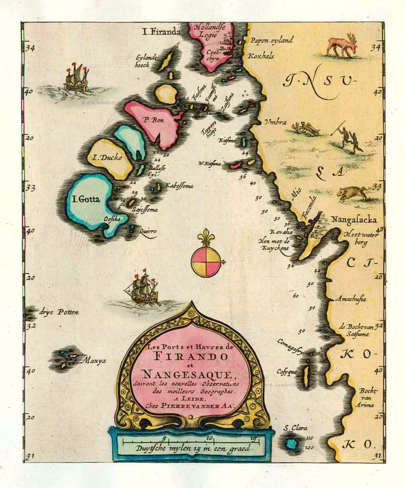
Les Ports et Havres de Firando et Nangesaque. 1713
Nagasaki and Hirado, by Pieter Van der Aa.
[Item number: 26123]
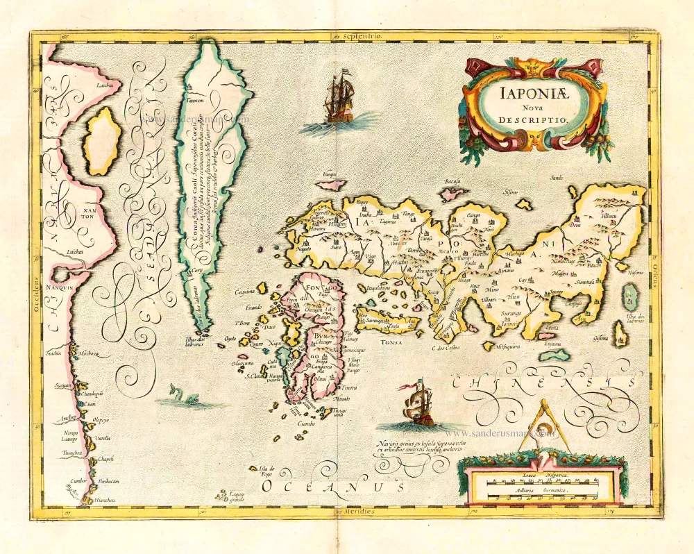
Iaponiae Nova Desciptio. 1641
Japan & Korea by Johannes Janssonius
[Item number: 26441]
Rare first edition!
Iapan. 1598
Japan by Barent Langenes & Cornelis Claesz
[Item number: 26543]
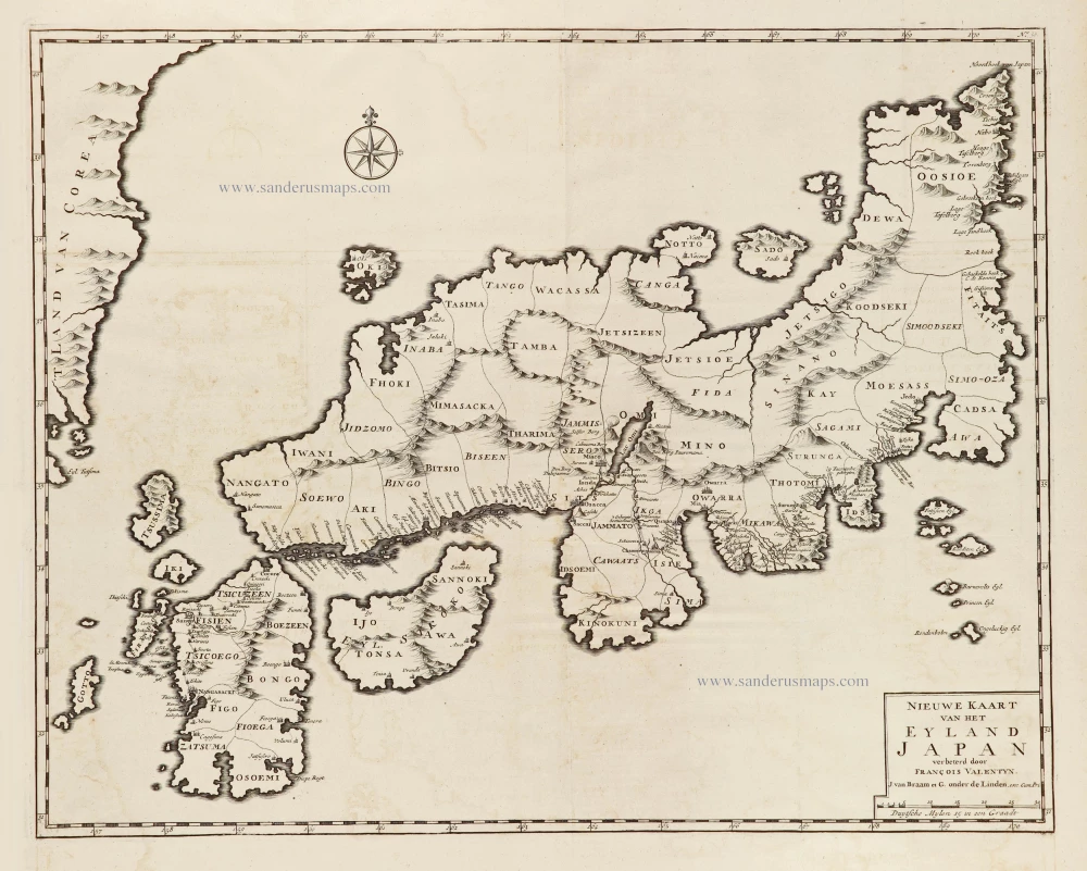
Nieuwe kaart van het Eyland Japan. 1724-26
Japan by François Valentyn (Valentijn).
[Item number: 26876]
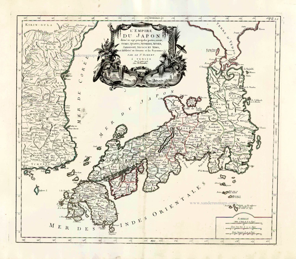
L'Empire du Japon Divisé en sept principales parties, savoir, Ochio, Quanto, Jetsegen, Jetsen, Jamaisoit, Xicoco et Ximo, et subdivisé en soixante et six Royaumes. 1776-79
Japan, by Francesco Santini.
[Item number: 26975]
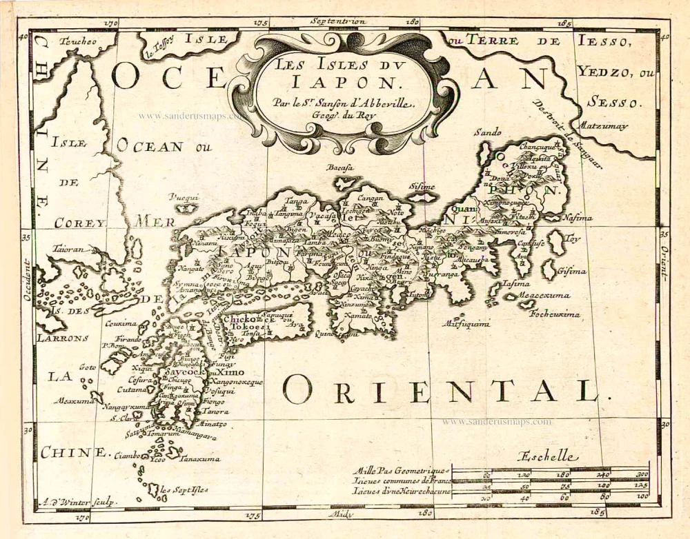
Les Isles du Iapon. 1683
Japan, by Nicolas Sanson.
[Item number: 27081]
Very nice old colour
Iaponia. 1623
Japan, Jodocus Hondius.
[Item number: 27819]
First printed map of China.
Ta. Superioris Indiae et Tartariae Maioris. 1525
China - Japan, by Lorenz Fries.
[Item number: 27928]

The first accurate European map of Japan.
Iaponiae Insulae Descriptio. 1609
Japan by Abraham Ortelius.
[Item number: 28433]
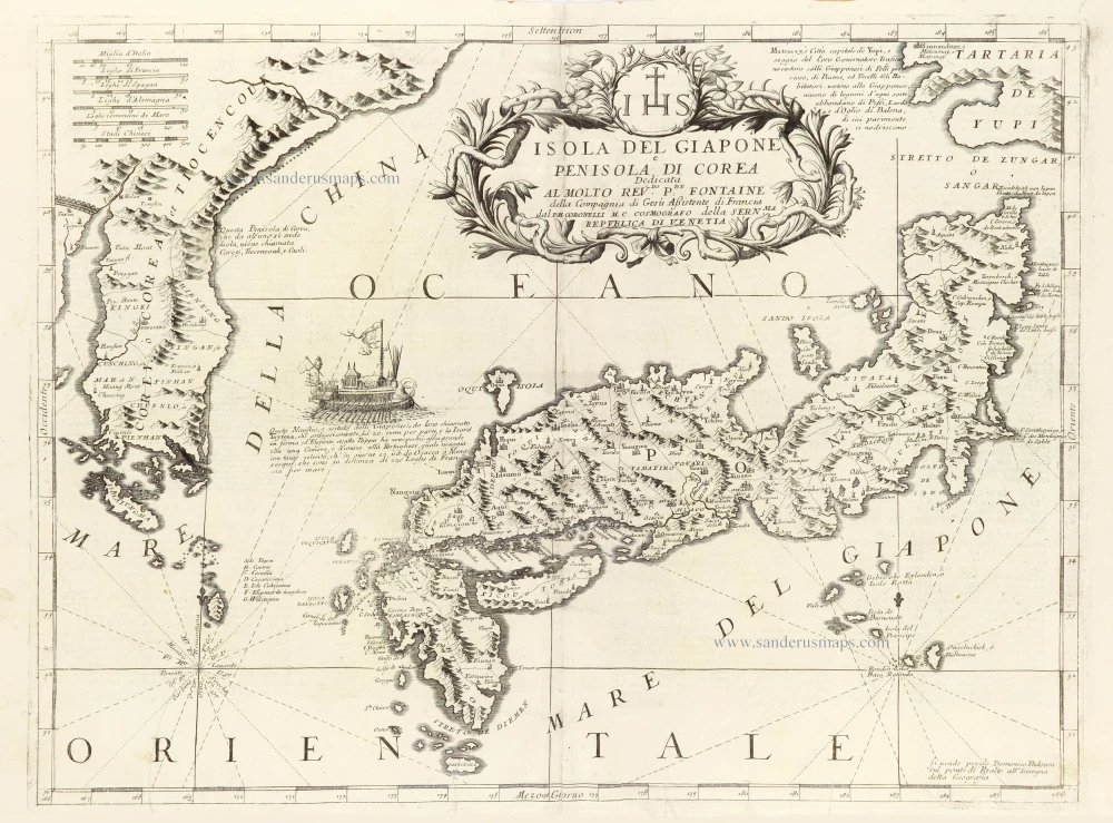
Isola del Giapone e Penisola di Corea. 1696
Japan - Korea by Vincenzo Coronelli.
[Item number: 28757]