
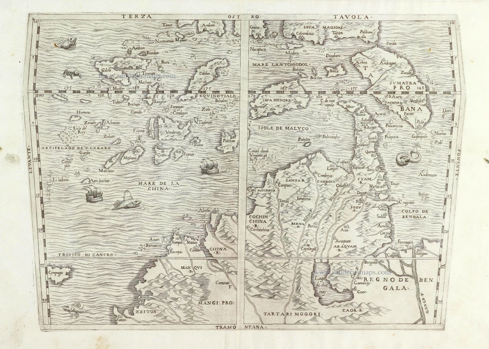
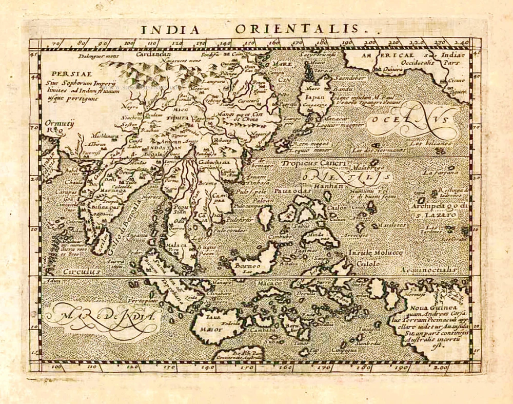
Southeast Asia by G.B. Ramusio. 1563
Giovanni Battista Ramusio (Treviso, 1485 - Padua, 1557)
Ramusio was the son of Paolo Ramusio, a magistrate of the Venetian city-state. In 1505 young Giovanni took a position as secretary to Aloisio Mocenigo of the patrician Mocenigo family, then served as the Republic's ambassador to France. Ramusio would spend the rest of his career in Venetian service. He was keenly interested in geography, and his position ensured he would receive news of all the latest discoveries from explorers around Europe as they were sent back to Venice. A learned man, fluent in several languages, he began to compile these documents and translated them into Italian, then the most widely understood of the European languages.
Ramusio compiled a collection of voyages which are the most highly valued of the sixteenth century. It is composed of accounts of voyages which had already been published, translated from French, Spanish and Latin, and also of manuscript accounts which appear for the first time. It enjoyed great success, and each of the three volumes appeared in several editions, some containing more narratives than others and minor differences in the maps.
Terza Tavola.
Item Number: 29489 Authenticity Guarantee
Category: Antique maps > Asia > Southeast Asia
Old, antique map of Southeast Asia by G.B. Ramusio.
Title: Terza Tavola.
Oriented to the south.
Cartographer: Giacomo Gastaldi.
Date of the first edition: 1563.
Date of this map: 1563.
Copper engraving, printed on paper.
Map size: 275 x 380mm (10.83 x 14.96 inches).
Sheet size: 310 x 450mm (12.2 x 17.72 inches).
Verso: Blank.
Condition: Wormhole filled in the centre under the island 'Paloban', else perfect.
Condition Rating: A.
From: Terzio Volume Delle Navigatione et Viaggi ... Venice, 1563.
Giovanni Battista Ramusio (Treviso, 1485 - Padua, 1557)
Ramusio was the son of Paolo Ramusio, a magistrate of the Venetian city-state. In 1505 young Giovanni took a position as secretary to Aloisio Mocenigo of the patrician Mocenigo family, then served as the Republic's ambassador to France. Ramusio would spend the rest of his career in Venetian service. He was keenly interested in geography, and his position ensured he would receive news of all the latest discoveries from explorers around Europe as they were sent back to Venice. A learned man, fluent in several languages, he began to compile these documents and translated them into Italian, then the most widely understood of the European languages.
Ramusio compiled a collection of voyages which are the most highly valued of the sixteenth century. It is composed of accounts of voyages which had already been published, translated from French, Spanish and Latin, and also of manuscript accounts which appear for the first time. It enjoyed great success, and each of the three volumes appeared in several editions, some containing more narratives than others and minor differences in the maps.
Related items
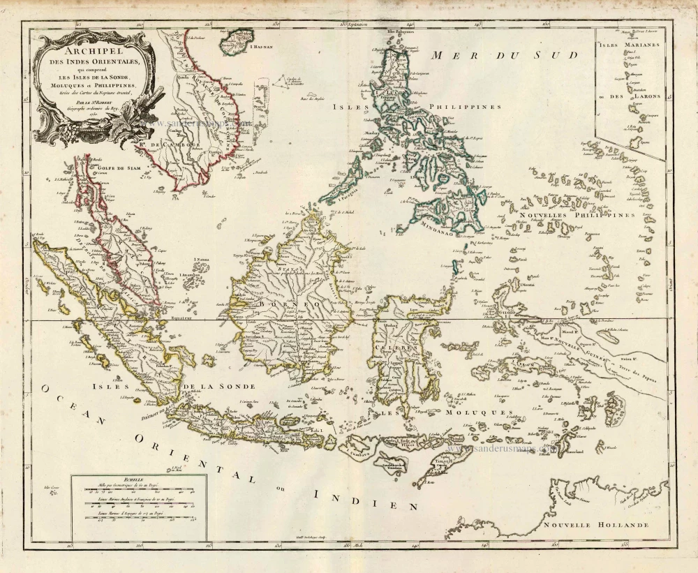
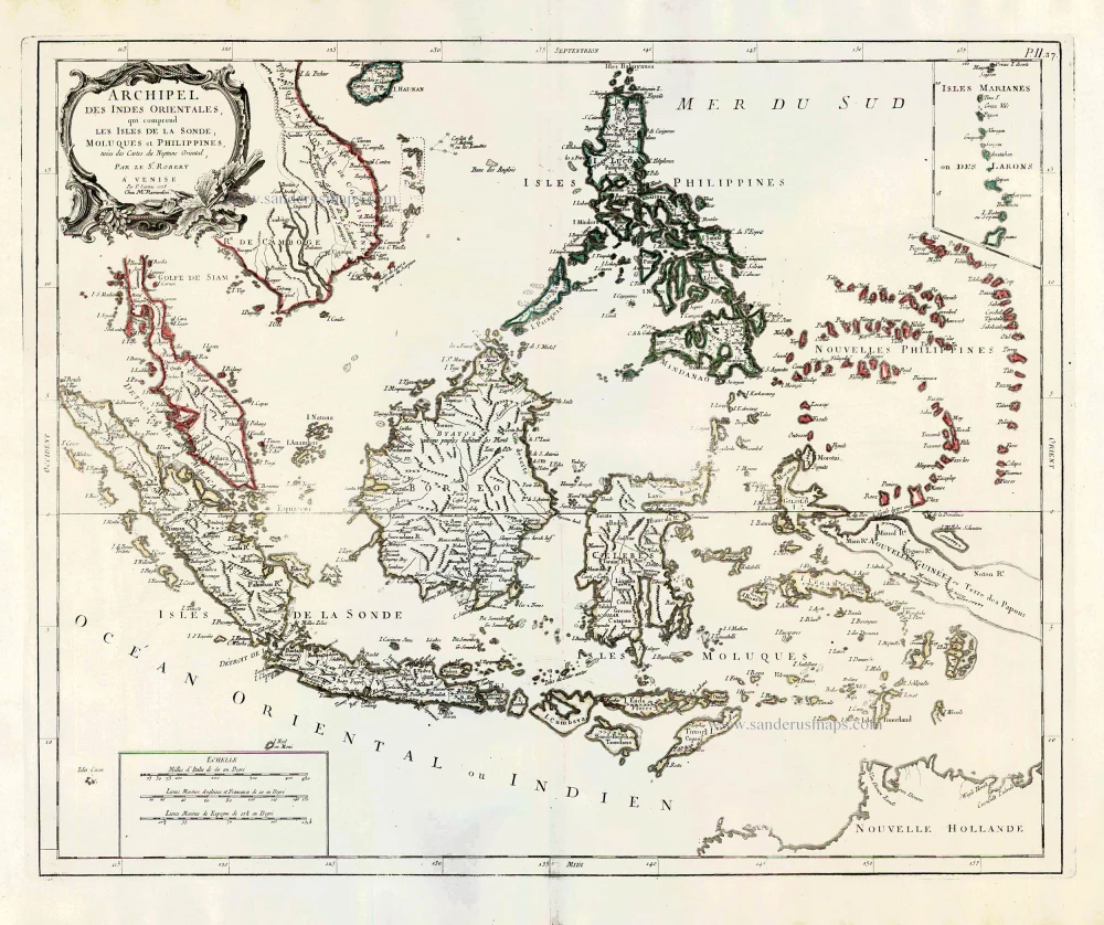
Archipel des Indes Orientales qui Comprend les Isles de la Sonde, Moluques et Philippines. c. 1757
Southeast Asia, par Robert de Vaugondy.
[Item number: 4751]
This map was the most accurate and one of the most elegant seventeenth-century maps of the East Indies
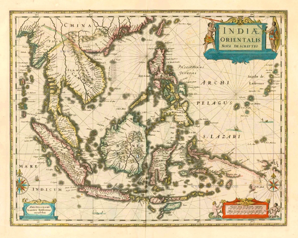
Indiae Orientalis Nova Descriptio. 1644-58
Southeast Asia by Janssonius, Johannes
[Item number: 10013]
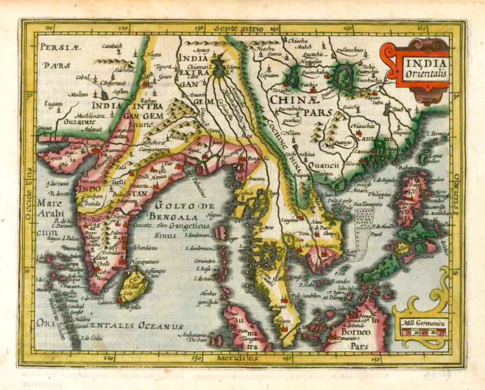
India Orientalis. 1607
Southeast Asia, by G. Mercator - J. Hondius (small)
[Item number: 25186]
From the Cloppenburg edition
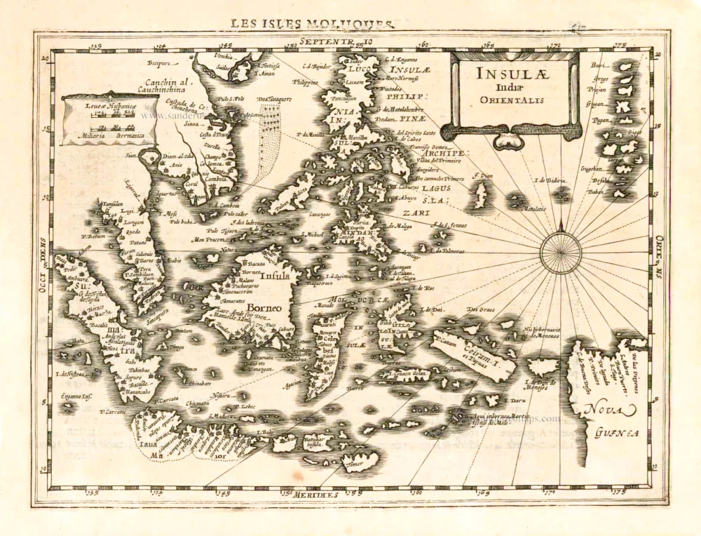
Insulae Indiae Orientalis. 1630
Southeast Asia, by G. Mercator - J. Hondius.
[Item number: 25234]
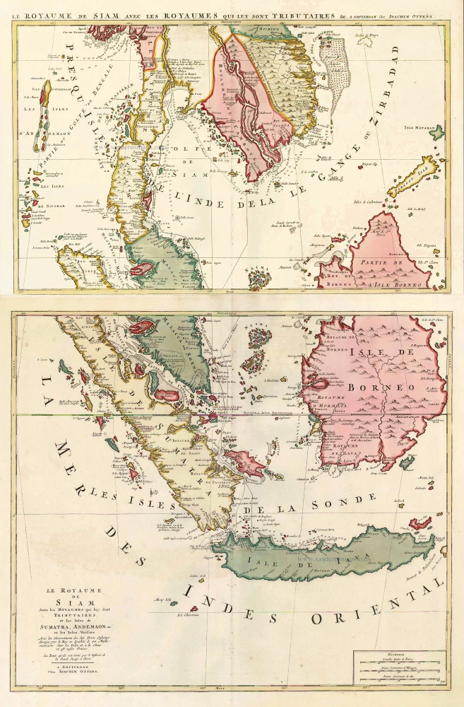
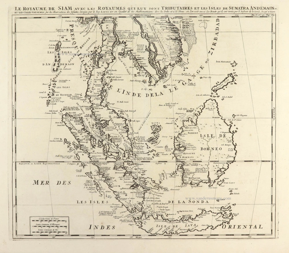
Le Royaume de Siam avec les Royaumes qui luy sont Tributaires, et les Isles de Sumatra, Andemaon, etc. et les Isles Voisine. c. 1700
Southeast Asia, by J. Ottens.
[Item number: 25716]
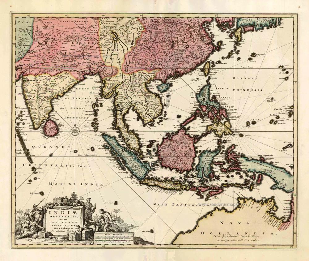
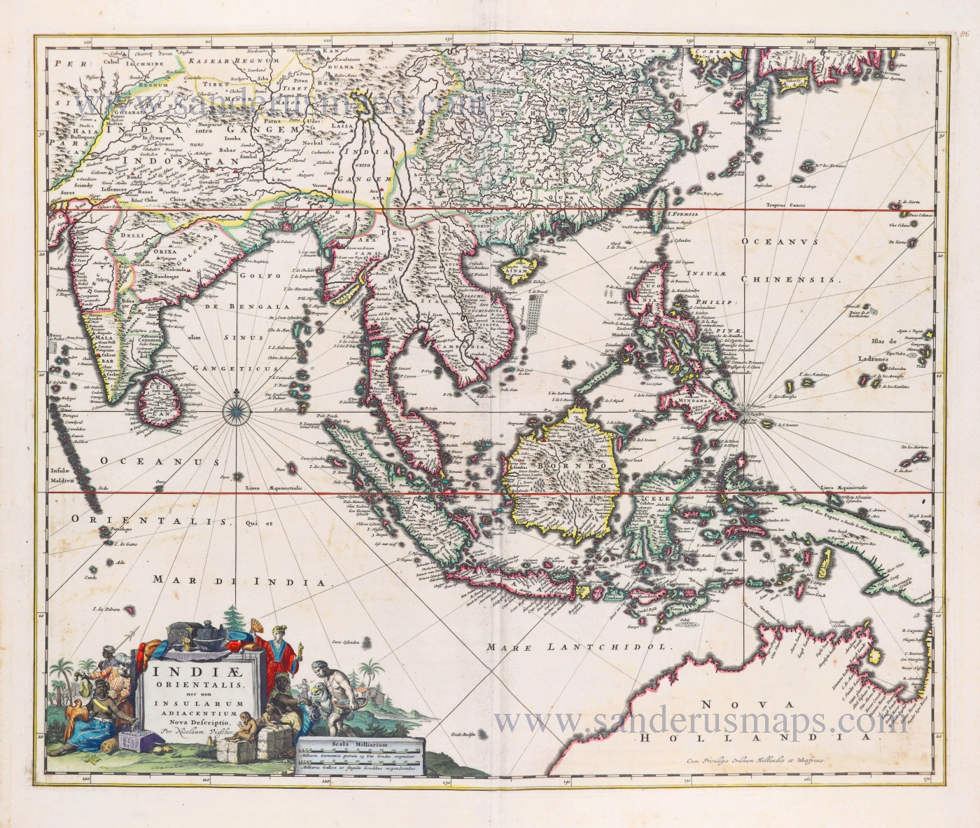
Indiae Orientalis nec non Insularum Adiacentium Nova Descriptio. c. 1740
Southeast Asia by Nicolaes Visscher, published by Petrus Schenk.
[Item number: 25718]
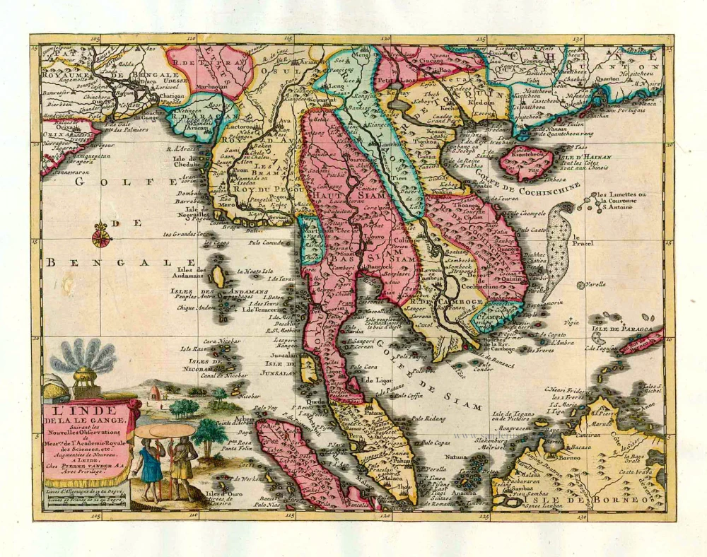
L'Inde de la le Gange, 1713
Southeast Asia, by Pieter van der Aa.
[Item number: 26097]
India Orientalis. 1597
Southeast Asia, by Giovanni Magini.
[Item number: 26521]

This map has the first accurate depiction of the Philippines
India quae Orientalis dicitur et Insulae Adiacentes. 1640-43
Southeast Asia by Willem & Joan Blaeu
[Item number: 26566]
Archipel des Indes Orientales qui comprend les Isles de la Sonde, Moluques et Philippines. 1776-79
Southeast Asia, by Francesco Santini.
[Item number: 26977]
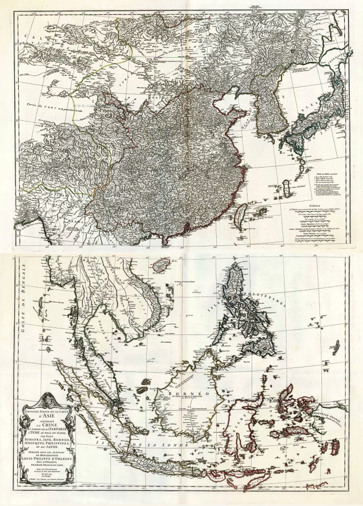
Seconde Partie de la Carte d'Asie Contenant la Chine et Partie de la Tartarie, l'Inde au Deca du Gange, les Isles Sumatra, Java, Borneo, Moluques, Philippines, et du Japo 1746-53
Southeast Asia, by J.B. d'Anville.
[Item number: 27401]
Including the first map of the Philippines.
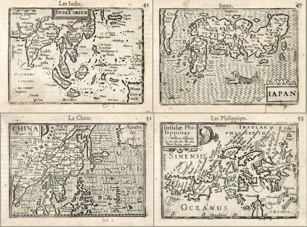
India Orien. - Iapan. - China. - Insulae Philippinae. 1602
Barent Langenes & Cornelis Claesz.: Southeast Asia, Japan, China, and the Philippines.
[Item number: 27705]
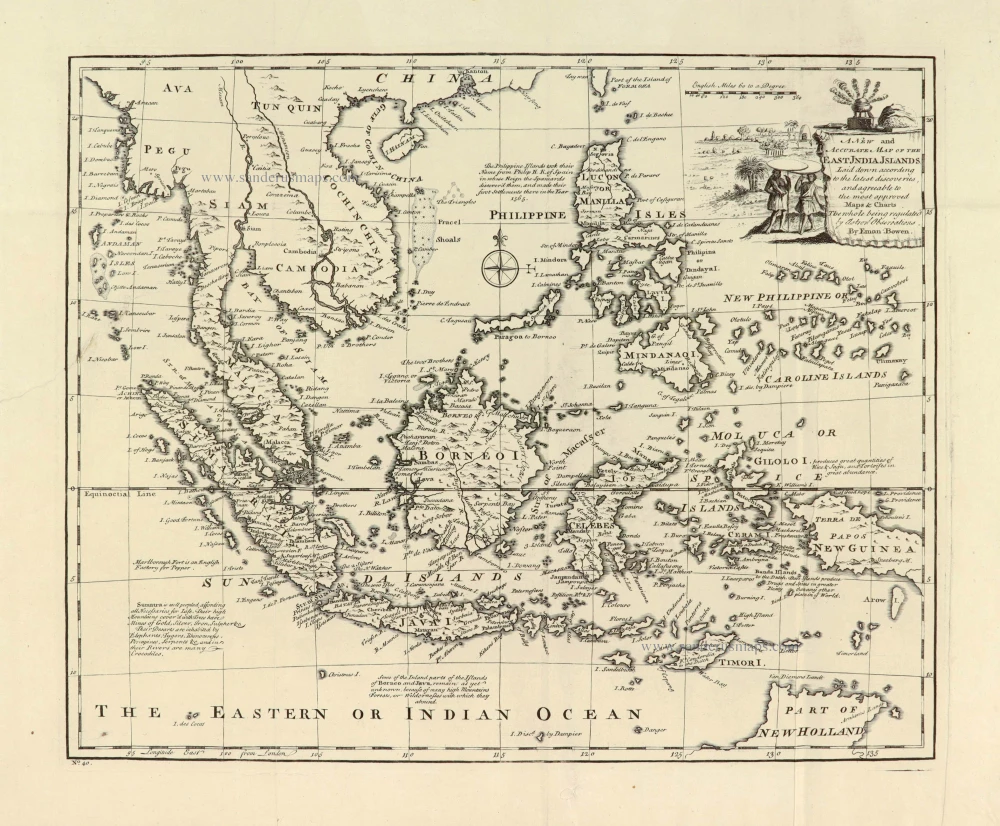
A New and Accurate Map of the East India Islands. 1747
Southeast Asia, by Emanuel Bowen.
[Item number: 28012]
A very important map of the region
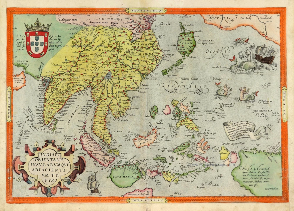
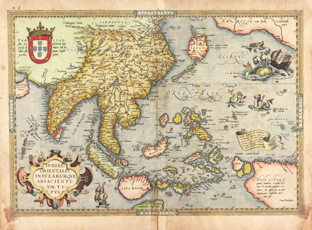
Indiae Orientalis Insularumque Adiacientium Typus. 1572
Southeast Asia, by Abraham Ortelius.
[Item number: 28046]
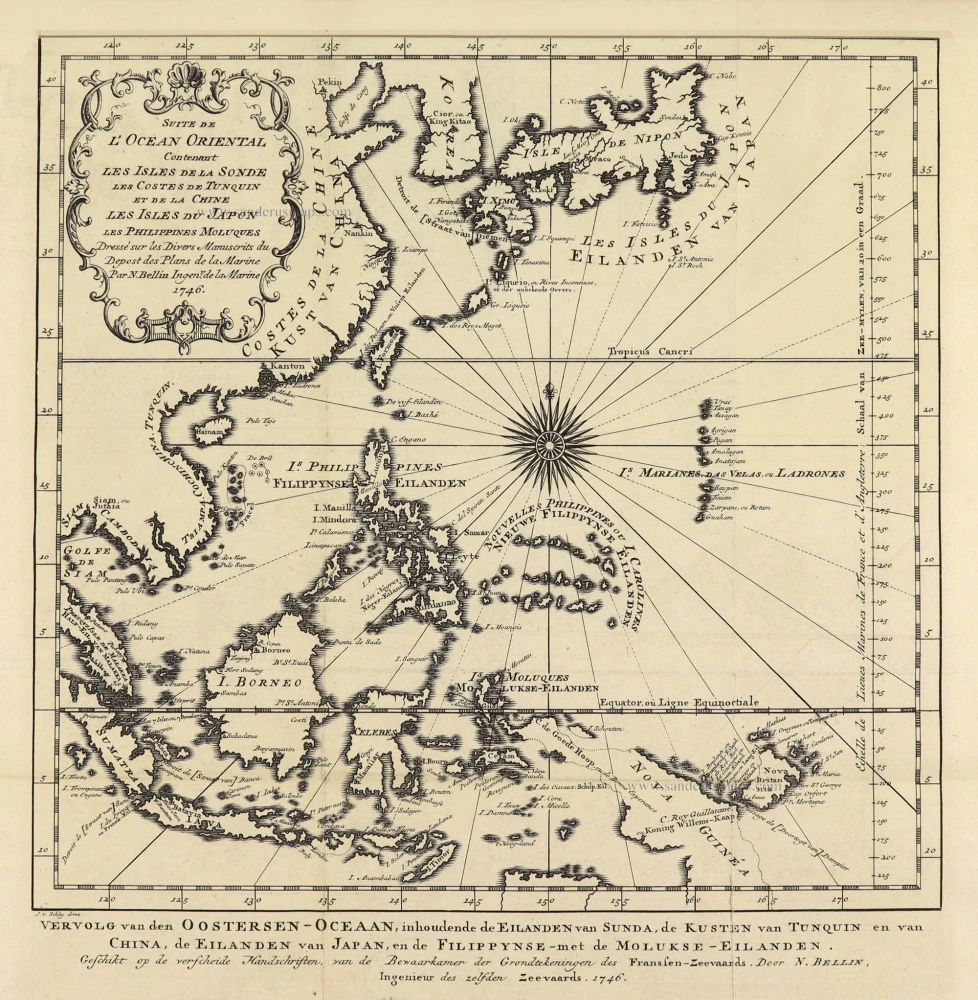
Suite de L'Ocean Oriental Contenant Les Isles de la Sonde Les Costes de Tunquin et de la Chine Les Isles du Japon les Philippines Moluques. 1747
Southeast Asia by Jacques Nicolas Bellin.
[Item number: 28189]
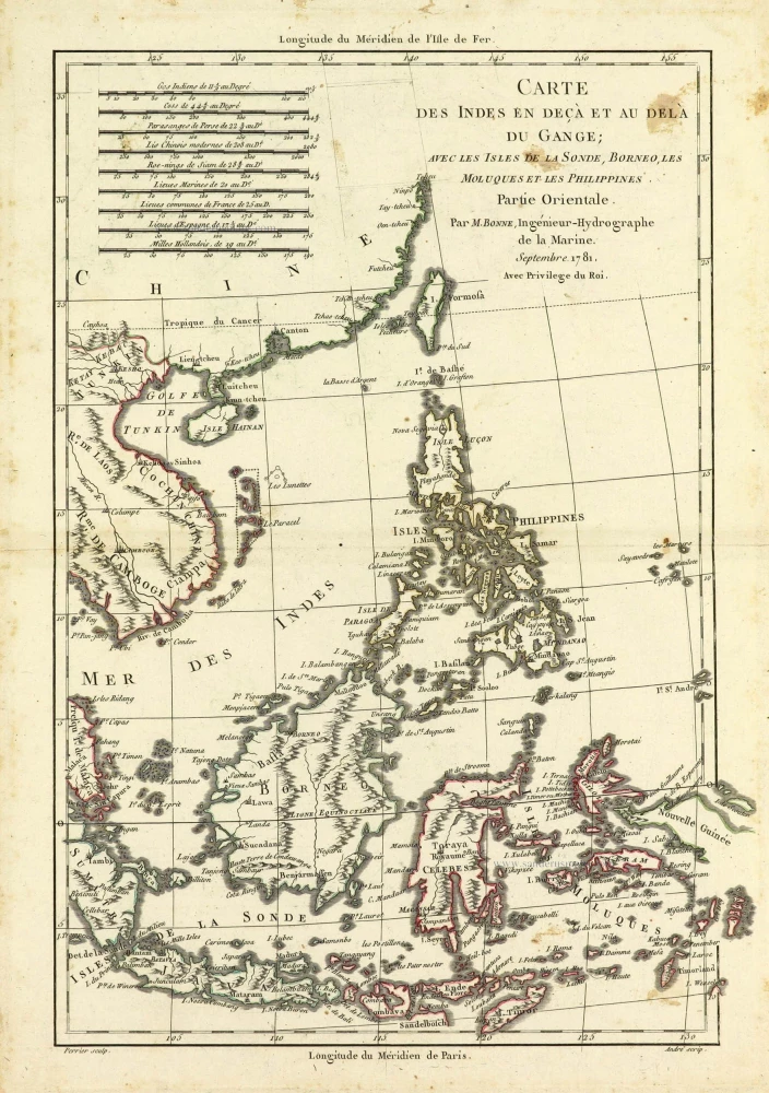
Carte des Indes en deçà et au dela du Gange; avec les Isles de la Sonde, Borneo, les Moluques et les Philippines. Partie Orientale. 1690
Southeast Asia by Rigobert Bonne.
[Item number: 28304]
Scarce
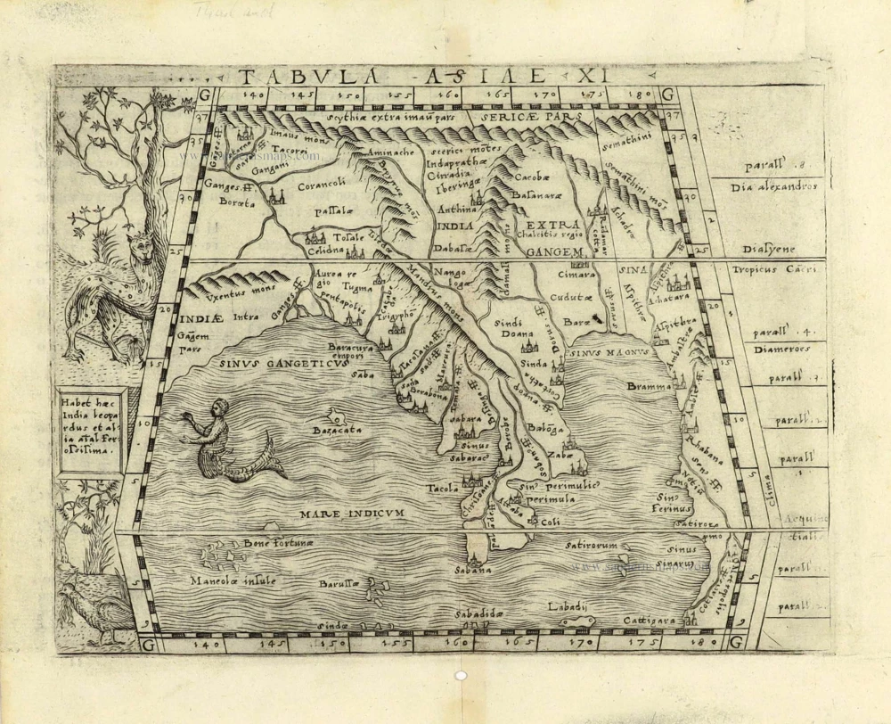
Tabula Asiae XI. 1548
Southeast Asia by Giacomo Gastaldi / Ptolemy.
[Item number: 28362]
Indiae Orientalis nec non Insularum Adiacentium Nova Descriptio. 1678
Southeast Asia by Nicolaes Visscher I.
[Item number: 28555]
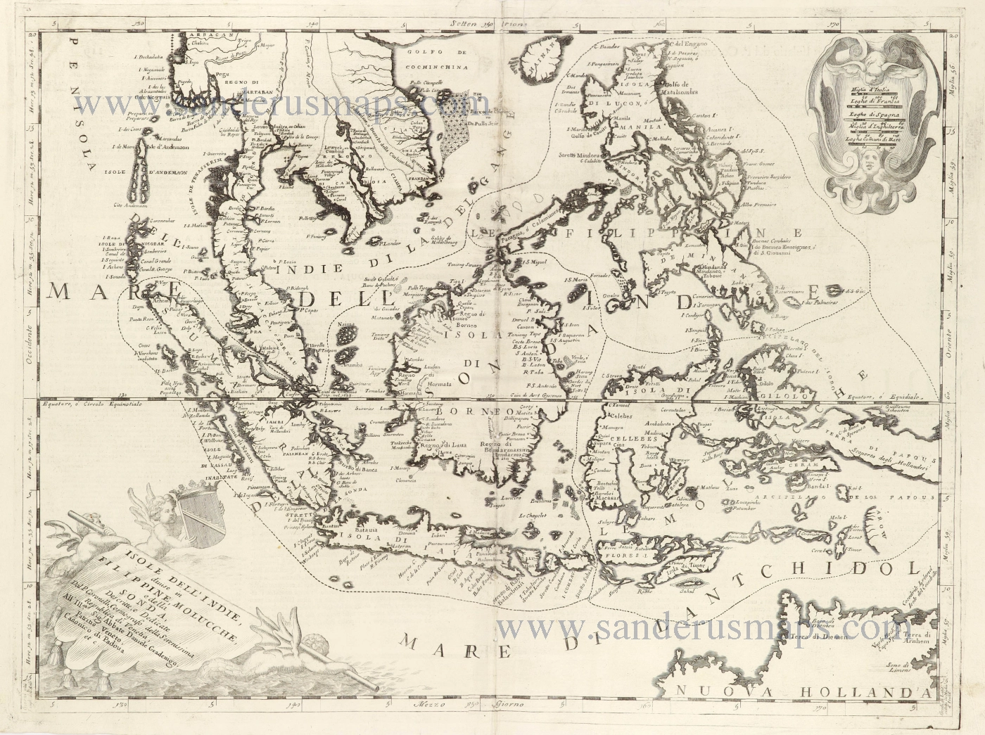
Isole dell'Indie, Divise in Filippine, Molucche, e della Sonda. 1696
Southeast Asia and Northwest Australia by Vincenzo Coronelli.
[Item number: 28670]
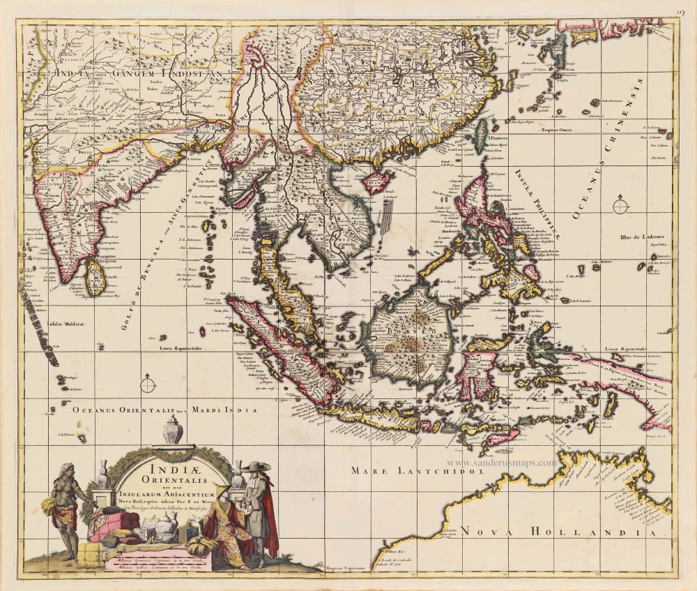
Indiae Orientalis nec non Insularum Adiacentium. c. 1691-97
Southeast Asia - Australia by Frederick de Wit.
[Item number: 29091]
In rare original colour.
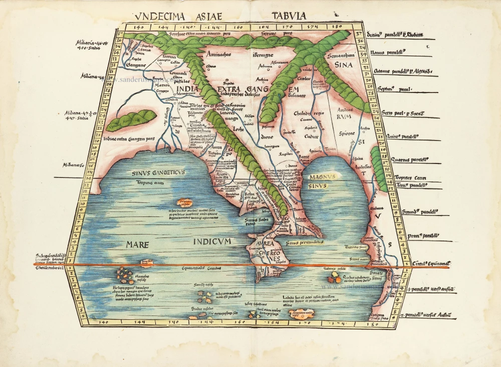
Undecima Asiae Tabula. 1513
South Asia by Waldseemüller Martin
[Item number: 29249]
Le Royaume de Siam avec les Royaumes qui luy sont Tributaires et les Isles de Sumatra Andemaon etc. et les isles voisines. 1719
Antique map of Southeast Asia by Châtelain
[Item number: 29372]

Carte des Indes, de la Chine & des Iles de Sumatra, Java &c. 1719
Southeast Asia, by Z. Châtelain.
[Item number: 29376]
Very rare first 1570 A edition.
Indiae Orientalis Insularumque Adiacientium Typus. 1570
Southeast Asia, by Abraham Ortelius.
[Item number: 30592]
new