
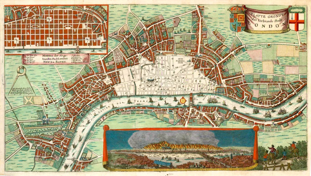
London, by Marcus Willemsz. Doornick. 1666


VERY RARE
Howgego mentions two variations of this print: A broadsheet without reference numbers and below the map a description of the fire in Dutch, French and English, and another edition with a different title. He mentions a variant of this second edition in a private collection, without descriptive text and with titles in German. This variant is the same as the one we have.
Platte Grondt der Verbrande Stadt London.
Item Number: 27524 Authenticity Guarantee
Category: Antique maps > Europe > British Isles
Old, antique map of London showing the area destroyed by the fire in 1666, by Marcus Willemsz. Doornick.
With two insets: In the top left corner, a detail of the rebuilding plan of the destroyed area with a new, right-angular street layout. At the bottom, a profile view of the burning city.
The rebuilding plan has a title in German: Modell der Abgebrandten Stadt London New zu Bauwen.
Date of the first edition: 1666
Date of this map: 1666
Copper engraving, printed on paper.
Size (not including margins): 29.5 x 53.5cm (11.5 x 20.9 inches)
Verso: Blank
Condition: Original coloured, excellent.
Condition Rating: A+
References: Muller, #2249; Howgego, #17.
Separate publication.
VERY RARE
Howgego mentions two variations of this print: A broadsheet without reference numbers and below the map a description of the fire in Dutch, French and English, and another edition with a different title. He mentions a variant of this second edition in a private collection, without descriptive text and with titles in German. This variant is the same as the one we have.
Related items
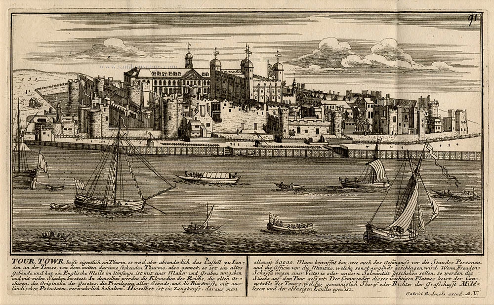
Tour Towr, heist eigentlich ein Thurm, es wird aber absonderlich das Castell zu Londen an der Temse, von dem mitten darinnen stehenden Thurms, also gennet, ... 1720
The Tower in London, by Gabriel Bodenehr.
[Item number: 13435]
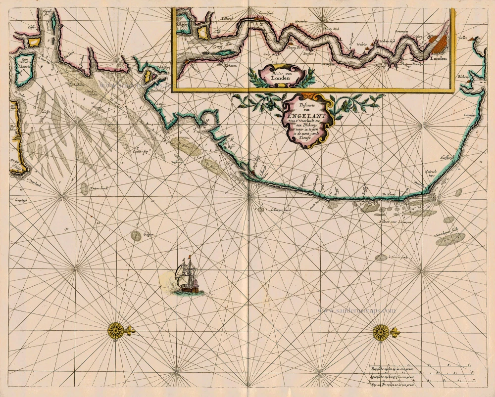
Pascaarte van Engelant van t' Voorlandt tot aen Blakeney waer in te Sien is de Mont vande Teemse 1667
Sea chart of England - Thames River - London, by Pieter Goos.
[Item number: 19032]
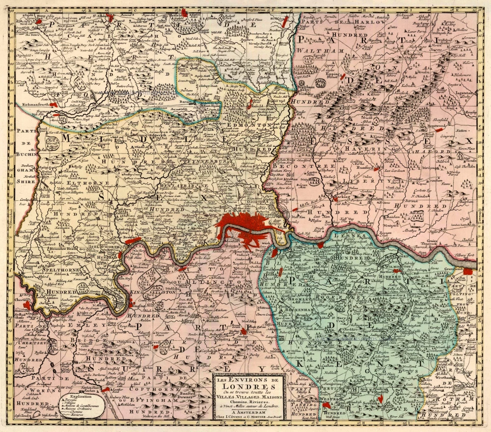
Les Environs de Londres Ou se trouve toutte les Villes, Villages, Maisons, Chemins, Rivières, à Vinct Milles autour de Londres. 1721-41
London, by Covens & Mortier.
[Item number: 23728]
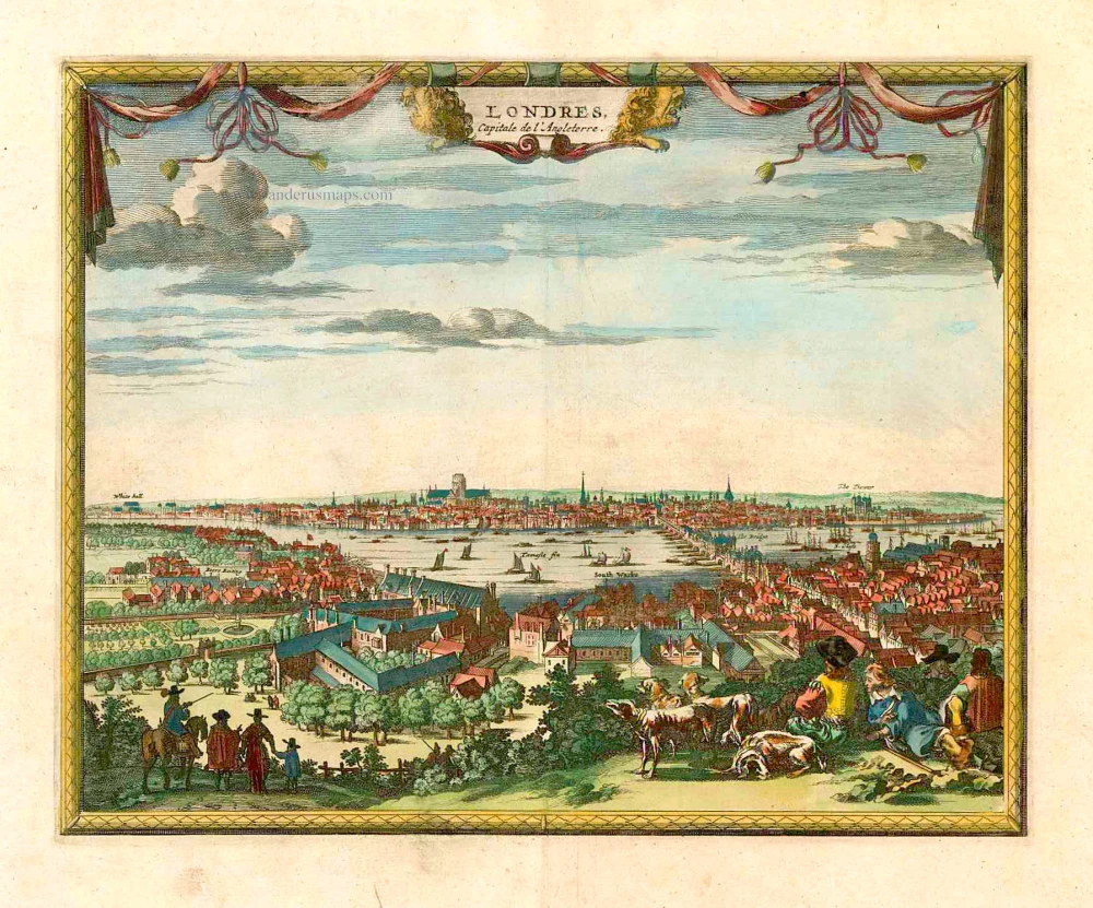
Londres Capitale de l'Angleterre. c. 1715
London, by Pieter van der Aa.
[Item number: 26854]

Londinum, Feracissimi Agliae Regni Metropolis. [French title above map:] La Ville de Londres. 1575
London, by François de Belleforest.
[Item number: 27163]
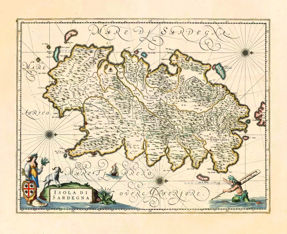
Isola di Sardegna 1650
Sardegna, by Joan Blaeu.
[Item number: 27425]
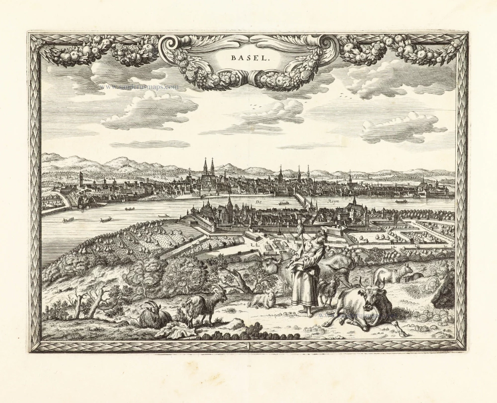
Unrecorded view of Basel by Carel Allard
Basel. 1673
View of Basel by Carel Allard.
[Item number: 30573]
new