
Rare.
Atlantic Ocean - Europe, Africa & Eastern Canada by Giovanni Francesco Camocio c. 1575
Giovanni Francesco Camocio (active in Venice between 1552 and 1575)
Giovanni Francesco Camocio, Venetian publisher and engraver was born in the first half of the 16th century, probably in Asolo (Treviso). He then moved to Venice, where his publishing activity has been registered since 1552. He was the owner of the bookshop Al segno della Piramide (At the Sign of the Pyramid) in San Lio in Merceria, where his main activity was the sale of prints and engravings, engraved reproductions of works of art and geographical maps. Camocio was one of the most significant publishers of the time. The presence of his name on many papers and prints and his numerous requests for privilege testify to his intense activity. It included subjects derived from great artists such as Titian and Michelangelo, views of cities, fortresses, and geographic maps. To realise these maps, he collaborated with famous engravers and cartographers, including Domenico Zenoi, Paolo Forlani, Giacomo Gastaldi and others. Many small-format papers were published between 1566 and 1574, forming the volume known as Isole famose (famous islands). The drawing of a pyramid on four spheres, resting on a pedestal with the inscription Prudentia perpetuat and a snake's head represents the typographic mark he used. It is assumed that the publisher died around 1575 because there is no more news of his activity after this date, which corresponds with the spread of a severe plague in Venice.
[No title]
Item Number: 27086 Authenticity Guarantee
Category: Antique maps > Europe > Europe Continent
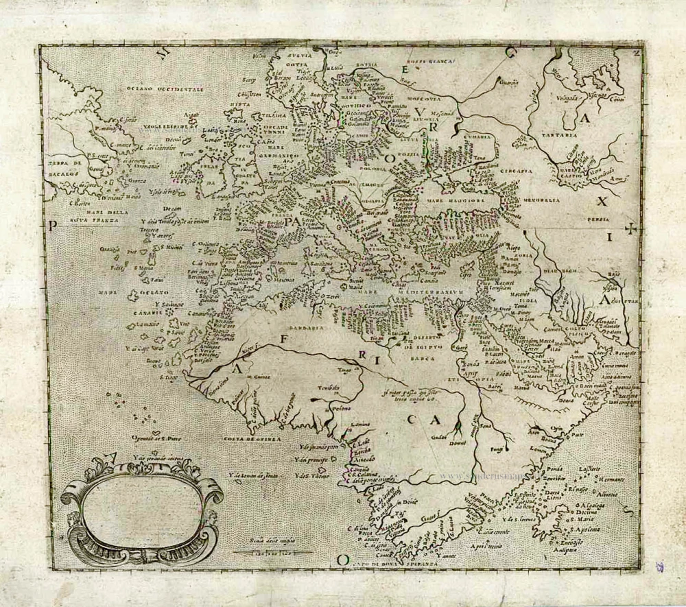
Old, antique map of the Atlantic Ocean with Europe, Africa & Eastern Canada, by Domenico Zenoi & Orazio Bertelli.
Untitled map, title cartouche blank and showing sign of erasure on plate.
Copper engraving, printed on paper.
Size (not including margins): 17 x 19.5cm (6.6 x 7.6 inches)
Verso: Blank
Condition Rating: A+
From: Isole Famose, Porti, Fortezze, e Terre Maritime. Venice, Libraria des segno di S. Marco (i.e. D. Bertelli), c. 1566-74. (Phillips 3975; Bifolco-Ronca, p.128 and p.140ff)
Very rare.
Giovanni Francesco Camocio (active in Venice between 1552 and 1575)
Giovanni Francesco Camocio, Venetian publisher and engraver was born in the first half of the 16th century, probably in Asolo (Treviso). He then moved to Venice, where his publishing activity has been registered since 1552. He was the owner of the bookshop Al segno della Piramide (At the Sign of the Pyramid) in San Lio in Merceria, where his main activity was the sale of prints and engravings, engraved reproductions of works of art and geographical maps. Camocio was one of the most significant publishers of the time. The presence of his name on many papers and prints and his numerous requests for privilege testify to his intense activity. It included subjects derived from great artists such as Titian and Michelangelo, views of cities, fortresses, and geographic maps. To realise these maps, he collaborated with famous engravers and cartographers, including Domenico Zenoi, Paolo Forlani, Giacomo Gastaldi and others. Many small-format papers were published between 1566 and 1574, forming the volume known as Isole famose (famous islands). The drawing of a pyramid on four spheres, resting on a pedestal with the inscription Prudentia perpetuat and a snake's head represents the typographic mark he used. It is assumed that the publisher died around 1575 because there is no more news of his activity after this date, which corresponds with the spread of a severe plague in Venice.
Related items
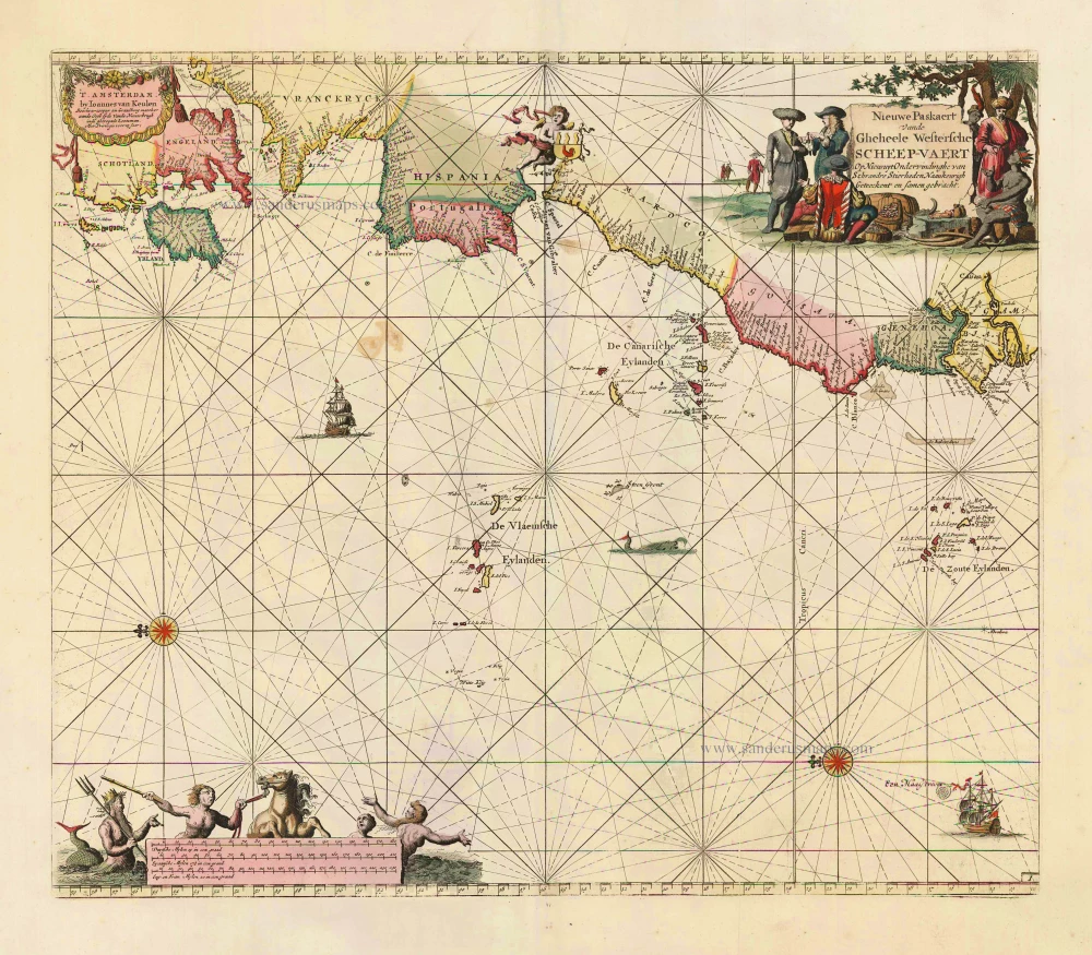
Nieuwe Paskaert vande Gheheele Westersche Scheep-Vaert, op Nieus uyt Ondervindinghe van Schrandre Stierlieden Naaukeurigh Geteeckent en Samen Gebracht. 1697-1709
The Atlantic Ocean, by J. Van Keulen.
[Item number: 11218]

Ocean Atlantique et Mers Adjacentes en Quatre Feuilles Contenant les Cotes de l'Europe, de l'Afrique et de l'Amerique ... 1778
The Atlantic Ocean, by G.L. Le Rouge.
[Item number: 14086]

The first sea chart relating to North America to use the Mercator projection
West-Indische Paskaert waer in de graden der breedde over wederzijden vande middellijn wassende so vergrooten dat die geproportioneert sijn tegen hunne nevenstaende graden der lengde; ... c. 1680
Atlantic Ocean. by P. Goos - J. Van Keulen
[Item number: 25938]
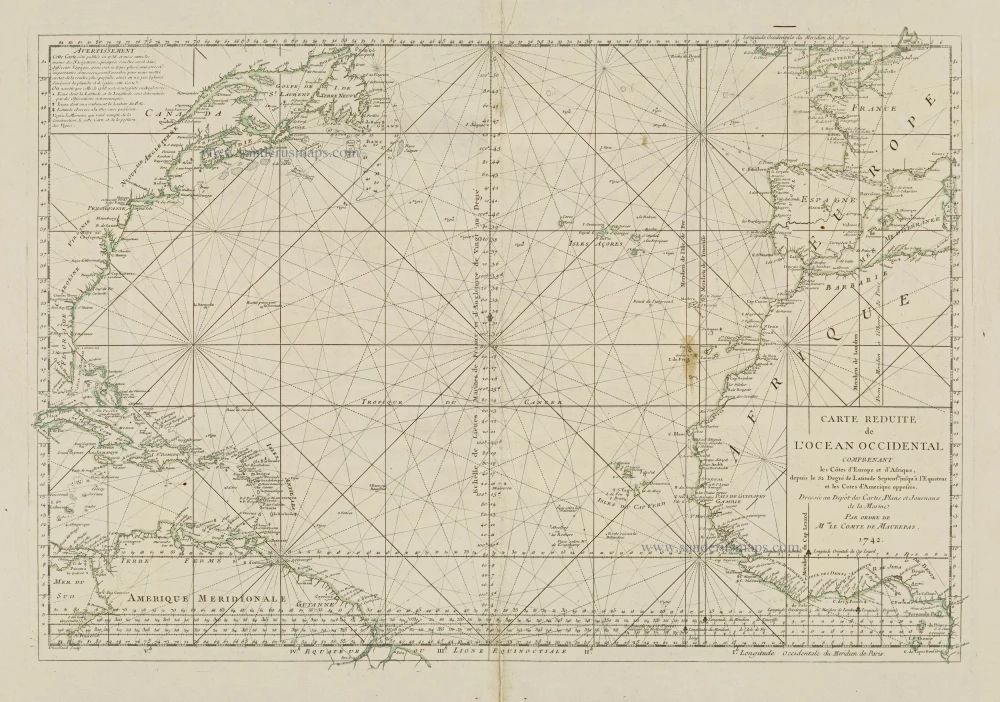
Carte Reduite de l'Ocean Occidental comprenant les Côtes d'Europe et d'Afrique, depuis le 52 Degré de Latitude Sept. jusqu'à l'Equateur et les Cotes d'Amerique opposées. 1756-1770
Atlantic Ocean, by J.N. Bellin.
[Item number: 28087]
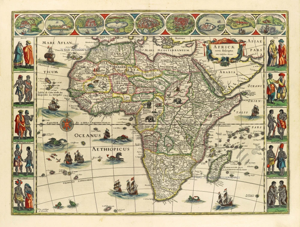
Africae nova descriptio. 1642
Africa by Willem Blaeu.
[Item number: 28388]

Septemtrionaliora Americae à Groenlandia, per Freta Davidis et Hudson, ad Terram Novam = De Noordelyckste Zee kusten van America van Goenland door de Straet Davis ende Straet Hudson tot Terra Neuf. c. 1690
North-Eastern Coasts of North America (Canada), by Frederick de Wit.
[Item number: 29242]
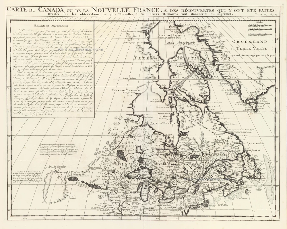
Carte du Canada ou de la Nouvelle France, & des découvertes qui y ont été faites, 1719
Canada, by Zacharias Châtelain.
[Item number: 29367]