
Papal States (North) by Paolo Santini. 1776-79

Francesco and Paolo Santini (c.1729-1793)
Francesco Santini, a Venetian publisher, acquired the printing plates of Vaugondy’s Atlas Universel …, a commercial and cartographic success, with widespread influence on mapmakers throughout Europe. Together with his brother Paolo, he commissioned a new set of plates and reissued the atlas in 1776. The following year, Paolo Santini assigned all his publication rights to M. Remondini, who in 1777 reissued the same atlas but with his name.
Partie Septentrionale de L'Etat de L'Eglise, contanant les Légations de Ferrare, de Bologne, et de Romagne, par le R.P. Boscovich.
Currently not available
Item Number: 27725 Authenticity Guarantee
Category: Antique maps > Europe > Italy
Old, antique map of the Papal States (North) by Paolo Santini.
Mappa antica dello Stato Pontificio (nord), di Paolo Santini.
Date of the first edition: 1776
Date of this map: 1776
Date on map: 1776
Cartographer: Ruggiero Giuseppe Boscovich SJ
Copper engraving, printed on paper.
Size (not including margins): 42.5 x 61.5cm (16.6 x 24 inches)
Verso: Blank
Condition: Original coloured in outline, excellent.
Condition Rating: A+
From: Atlas Universel dressé sur les meilleures cartes modernes. Venice, Remondini, 1776-79.
Francesco and Paolo Santini (c.1729-1793)
Francesco Santini, a Venetian publisher, acquired the printing plates of Vaugondy’s Atlas Universel …, a commercial and cartographic success, with widespread influence on mapmakers throughout Europe. Together with his brother Paolo, he commissioned a new set of plates and reissued the atlas in 1776. The following year, Paolo Santini assigned all his publication rights to M. Remondini, who in 1777 reissued the same atlas but with his name.
Related items
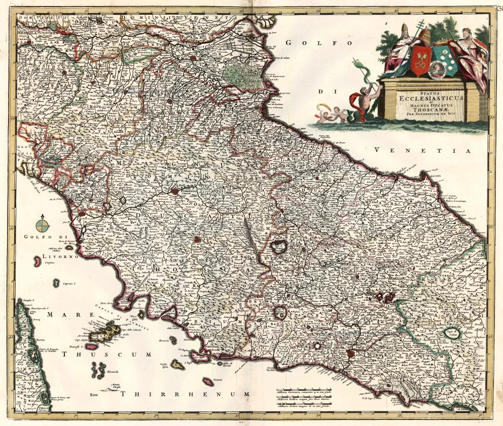
Status Ecclesiasticus et Magnus Ducatus Thoscanae. c. 1680
Papal States & Toscana by Frederik De Wit.
[Item number: 24382]

Partie de milieu de L'Etat de L'Eglise, contenant les Légations d' Urbin, La Marche, L'Ombrie, avec les territoires d'Orvieto, de Perouse et de Citta de Castello, par le P. Boscovich. 1776-79
Papal States (Central), by Paolo Santini.
[Item number: 27726]