
Very rare!
Rhine River by Cornelis Claesz. After 1630
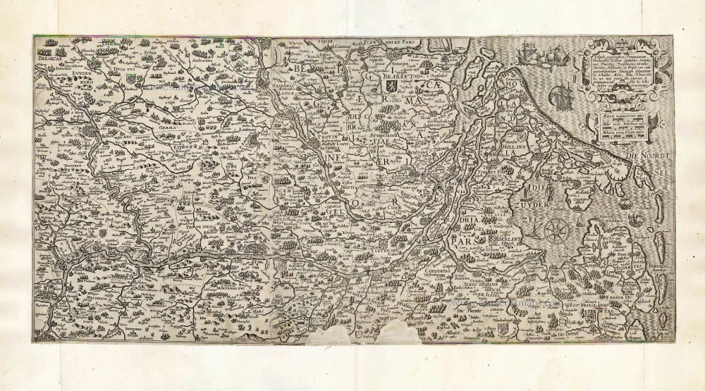
The map coverage is bounded to the southeast by Groningen- Frankfurt line. In the southwest, the boundary is formed by the line Antwerp - Namur - Luxembourg. A characteristic feature of the map image is the accentuated depiction of the flow structure of the Rhine River and its confluences. This is not surprising because the model used by the engraver Benjamin Wright was one of the monumental maps of the Rhine that appeared at the end of the sixteenth century: the map by Theodor de Bry, published in 1594 in three sheets.
De Bry's map is based on a much older one that had come to dominate the cartographic depiction of the Rhine for a very long period. Caspar Vopelius, a mapmaker from Cologne, produced 1555 a map of the Rhine in five sheets. One copy of this map has been preserved. In composing this map, Vopelius has created a masterpiece, the first to provide a uniform and detailed image of the entire course of the Rhine. The main accent is on the representation of the river systems; the forests and mountains ate schematically drawn.
Cornelis Claesz was responding to the demand for a general map of the Rhine and Maas area. In those years, this area was repeatedly a theatre of war in the conflict between Prince Maurits and the Spanish commander Spinola. De Bry's map of the Rhine formed an ideal model for publishing a separate map of this area. The map engraved by Benjamin Wright did not cover the entire course of the Rhine, however, extending only to Mainz. Nonetheless, De Bry's map copied every detail for the map image from the North Sea to Frankfurt and Mainz. The use of the idealized miniature profiles in various sizes of circles as symbols for less important places offers a good overview of the significance of each of the diverse settlements. In addition, the strategic importance of bridges is given the necessary attention on the map.
This third state of Cornelis Claesz's map of the Rhine in one-and-a-half sheets was reissued by Nicolaas van Geelkercken (1585/86-1656). Van Geelkercken already had a long service record. From 1603 on, he lived in Amsterdam, where he was educated as an engraver and surveyor. His earliest maps and prints date from 1610. At the end of 1615, he moved to Leiden, where he lived till 1628.
Cornelis Claesz.
Printer and bookseller in Amsterdam, 1580-1609. He is famous for publishing maps, pilot guides, and atlases in the beginning period of the development of cartography in the northern Netherlands. He is noted for his co-operation with the cartographer Petrus Plancius and his editions of voyages. After 1590, the works of Lucas Jansz. He published Waghenaer, and in 1599, he acquired the publication rights of Barent Langenes’ Caert-thresoor.
Tabula geographica Prouinciarum Brabantiae, Geldriae comitatus Sutphaniae, Traiectini, Transiluaniae; Drentiae, Twentiae, Hollandiae, et Frisiae: ...
Item Number: 27065 Authenticity Guarantee
Category: Antique maps > Europe > The Netherlands
Old, antique map of the Rhine River, by Cornelis Claesz, published by Nicolaas van Geelkercken.
Oriented to the west-south-west.
Third state (of three).
Mapmaker: Cornelis Claesz.
Engraver: Benjamin Wright
Editor: Nicolaas van Geelkercken
Date of this map: After 1630
Date of the first state: c. 1600
Copper engraving, printed on paper from two plates, joined.
Size (not including margins): 32 x 67cm (12.5 x 26.1 inches)
Verso: Blank
Condition: Remargined, two chips in the lower border (2.5 x 5cm), restored with blank paper.
Condition Rating: C+
References: Schilder 7, p.440-445 15.13 third state.
Separate publication.
One copy was recorded of the first state, four of the second state and three of the third state. (Schilder).
The map coverage is bounded to the southeast by Groningen- Frankfurt line. In the southwest, the boundary is formed by the line Antwerp - Namur - Luxembourg. A characteristic feature of the map image is the accentuated depiction of the flow structure of the Rhine River and its confluences. This is not surprising because the model used by the engraver Benjamin Wright was one of the monumental maps of the Rhine that appeared at the end of the sixteenth century: the map by Theodor de Bry, published in 1594 in three sheets.
De Bry's map is based on a much older one that had come to dominate the cartographic depiction of the Rhine for a very long period. Caspar Vopelius, a mapmaker from Cologne, produced 1555 a map of the Rhine in five sheets. One copy of this map has been preserved. In composing this map, Vopelius has created a masterpiece, the first to provide a uniform and detailed image of the entire course of the Rhine. The main accent is on the representation of the river systems; the forests and mountains ate schematically drawn.
Cornelis Claesz was responding to the demand for a general map of the Rhine and Maas area. In those years, this area was repeatedly a theatre of war in the conflict between Prince Maurits and the Spanish commander Spinola. De Bry's map of the Rhine formed an ideal model for publishing a separate map of this area. The map engraved by Benjamin Wright did not cover the entire course of the Rhine, however, extending only to Mainz. Nonetheless, De Bry's map copied every detail for the map image from the North Sea to Frankfurt and Mainz. The use of the idealized miniature profiles in various sizes of circles as symbols for less important places offers a good overview of the significance of each of the diverse settlements. In addition, the strategic importance of bridges is given the necessary attention on the map.
This third state of Cornelis Claesz's map of the Rhine in one-and-a-half sheets was reissued by Nicolaas van Geelkercken (1585/86-1656). Van Geelkercken already had a long service record. From 1603 on, he lived in Amsterdam, where he was educated as an engraver and surveyor. His earliest maps and prints date from 1610. At the end of 1615, he moved to Leiden, where he lived till 1628.
Cornelis Claesz.
Printer and bookseller in Amsterdam, 1580-1609. He is famous for publishing maps, pilot guides, and atlases in the beginning period of the development of cartography in the northern Netherlands. He is noted for his co-operation with the cartographer Petrus Plancius and his editions of voyages. After 1590, the works of Lucas Jansz. He published Waghenaer, and in 1599, he acquired the publication rights of Barent Langenes’ Caert-thresoor.
Related items
Scarce
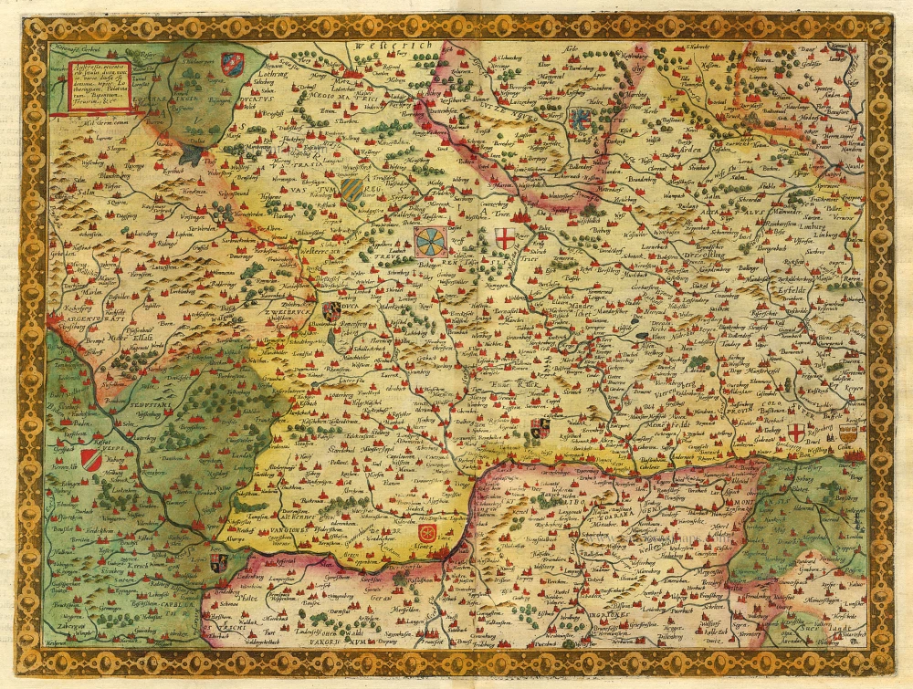
Austrasia ... 1593
The Rhine River, by Gerard de Jode.
[Item number: 5428]
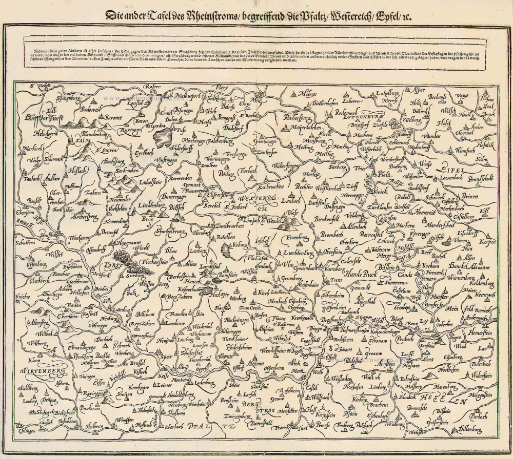
Die ander Tafel des Rheinstroms begreiffens die Pfalz, Westereich, Eyfel ... 1578
The Rhine River, by Münster S.
[Item number: 14630]

Le Cours de la Rivière du Rhein depuis sa Source jusques à son Emboucheure ou sont distingues Toutes les Estats et Souverainetés qui sont dessus et aux environs. ... c. 1700
RHINE RIVER by Schenk P.
[Item number: 19152]
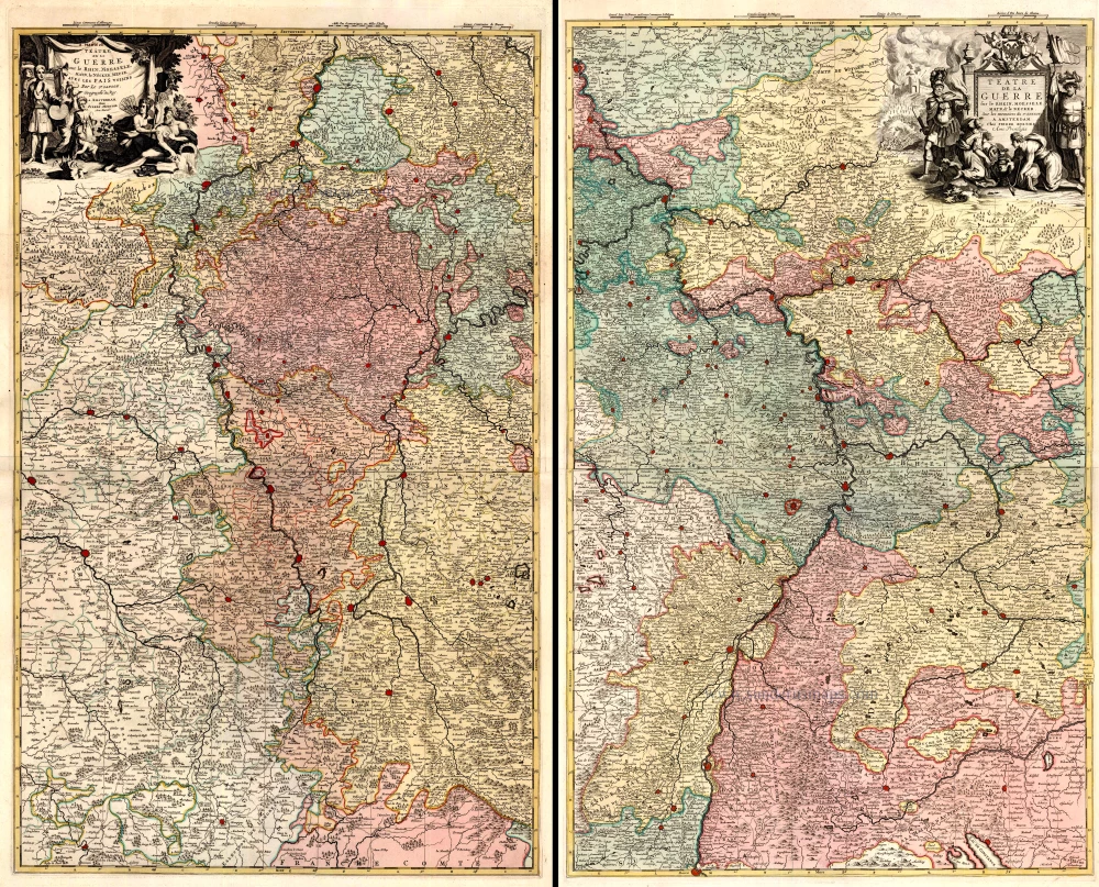
Téâtre de la Guerre sur le Rhein, Moesselle. Mayn, & le Necker, Meuse. Avec les Pais Voisins. 1721-41
The Upper Rhine and surroundings by N. Sanson / Covens & Mortier.
[Item number: 23695]
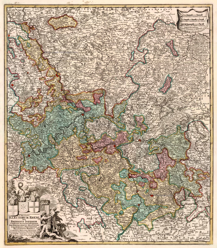
Circulus Electorum Rheni Sive Rhenanus Inferior ... 1721-41
Rhine River, by Covens & Mortier.
[Item number: 23824]
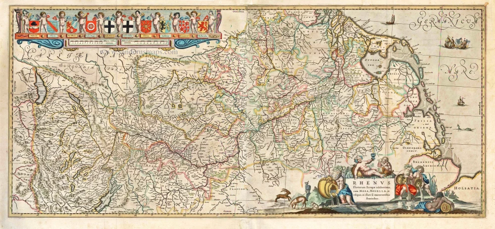
Rhenus Fluviorum Europae Celeberrimus, cum Mosa, Mosella, et Reliquis, in illum se exonerantibus fluminibus. 1641
Rhine River, by H. Hondius & J. Janssonius.
[Item number: 26281]
Big and decorative map.
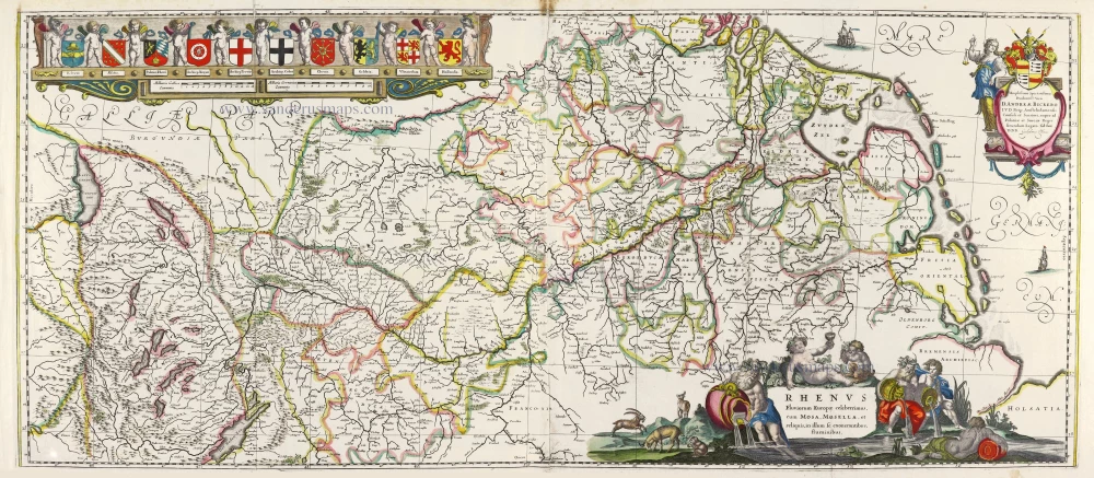
Rhenus Fluviorum Europae Celeberrimus, cum Mosa, Mosella, et Reliquis, in illum se exonerantibus, fluminibus. 1643
Rhine River, by Willem Blaeu.
[Item number: 29927]