
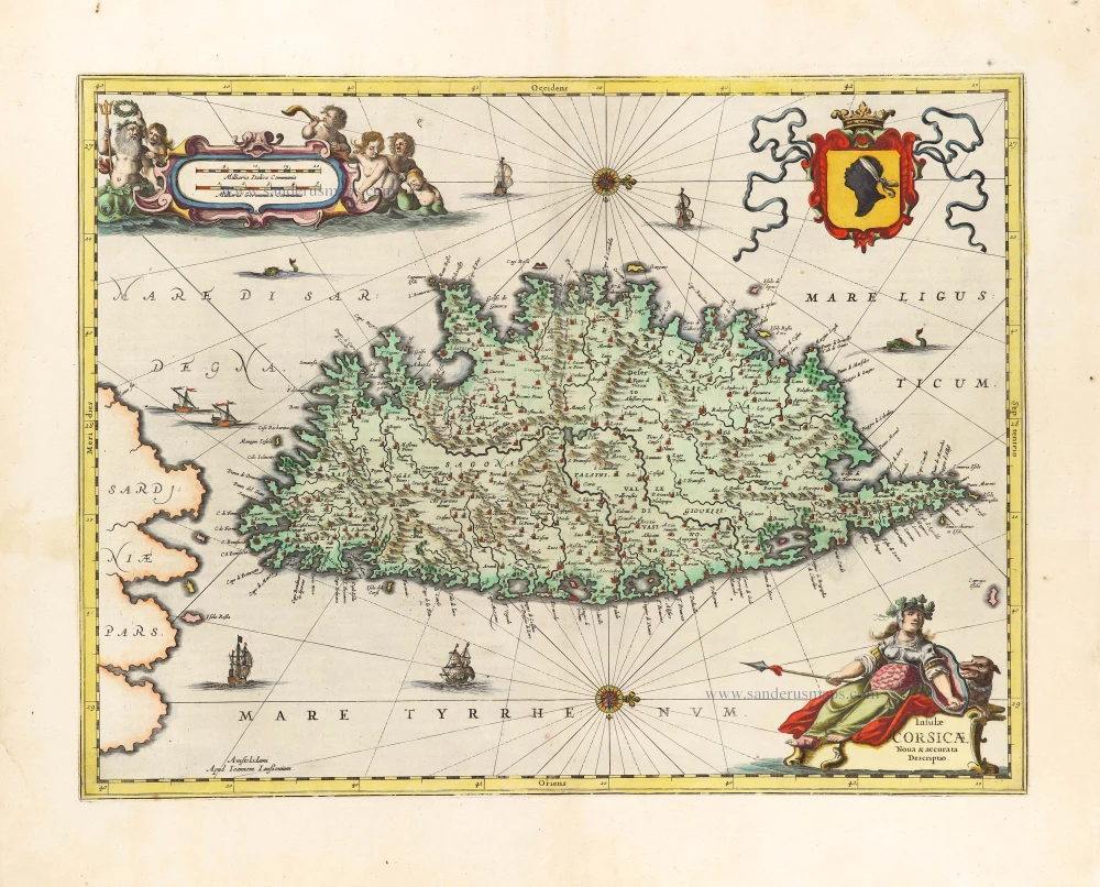
Corsica & Sardinia, by F. De Wit. c. 1680
Frederick de Wit (1630-1706)
The engraver and map-seller, Frederick de Wit, was born in Gouda (Netherlands) in 1630 as a son of Hendrick Fredericksz de Wit. Through his marriage with Maria van der Waag of Amsterdam in 1661, he obtained citizenship of the city where he had been working since 1648 and where he became one of the most famous engravers of maps of the second half of the 17th century. Although De Wit was a Catholic, which meant that he was not favoured at the time by the city council, he was awarded the honour of being listed as one of the "excellent citizens" on the roll of the city council in the years 1694-1704. However, his name was not written in the Guild of St. Luke book before 1664. At that time, he lived on the Kalverstraat "in de Witte Pascaert", where he stayed until his death in 1706. His earliest dates on maps engraved are 1659 (Regni Daniae) and 1660 (World map).
Frederick de Wit published several world atlases, a sea atlas, and an atlas of the Netherlands.
The dating of the maps is difficult. However, as a privilege was granted in 1689, the annotation 'cum privilegio' marks an edition after 1688.
Around 1700, Frederick de Wit entered the market with a town atlas. He produced two volumes with a total of 260 plans and views. Most were printed from plates used for Janssonius and Blaeu town atlases.
After he died in 1706, his widow continued the shop until 1709. The plates and stock of De Wit's atlas were sold to Covens & Mortier in 1710, who sold the atlas for an extended period.
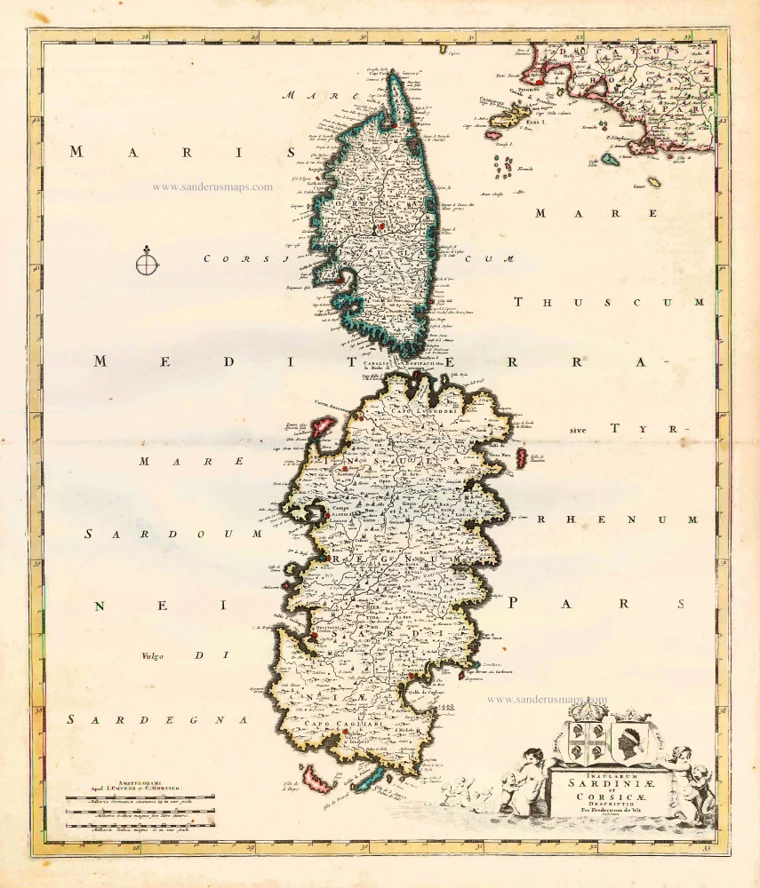
Insularum Sardiniae et Corsicae Descriptio.
Item Number: 25914 Authenticity Guarantee
Category: Antique maps > Mediterranean Sea
Old, antique map of Corsica & Sardinia, by F. De Wit.
Title: Insularum Sardiniae et Corsicae Descriptio.
Descriptio Per Fredericum de Wit Amstelodami.
Date: c. 1680.
Copper engraving, printed on paper.
Size (not including margins): 570 x 487mm (22.44 x 19.17 inches).
Verso: Blank.
Condition: Original coloured in outline, excellent.
Condition Rating: A+.
From: Composite Atlas by F. De Wit, c. 1680.
Frederick de Wit (1630-1706)
The engraver and map-seller, Frederick de Wit, was born in Gouda (Netherlands) in 1630 as a son of Hendrick Fredericksz de Wit. Through his marriage with Maria van der Waag of Amsterdam in 1661, he obtained citizenship of the city where he had been working since 1648 and where he became one of the most famous engravers of maps of the second half of the 17th century. Although De Wit was a Catholic, which meant that he was not favoured at the time by the city council, he was awarded the honour of being listed as one of the "excellent citizens" on the roll of the city council in the years 1694-1704. However, his name was not written in the Guild of St. Luke book before 1664. At that time, he lived on the Kalverstraat "in de Witte Pascaert", where he stayed until his death in 1706. His earliest dates on maps engraved are 1659 (Regni Daniae) and 1660 (World map).
Frederick de Wit published several world atlases, a sea atlas, and an atlas of the Netherlands.
The dating of the maps is difficult. However, as a privilege was granted in 1689, the annotation 'cum privilegio' marks an edition after 1688.
Around 1700, Frederick de Wit entered the market with a town atlas. He produced two volumes with a total of 260 plans and views. Most were printed from plates used for Janssonius and Blaeu town atlases.
After he died in 1706, his widow continued the shop until 1709. The plates and stock of De Wit's atlas were sold to Covens & Mortier in 1710, who sold the atlas for an extended period.
Related items

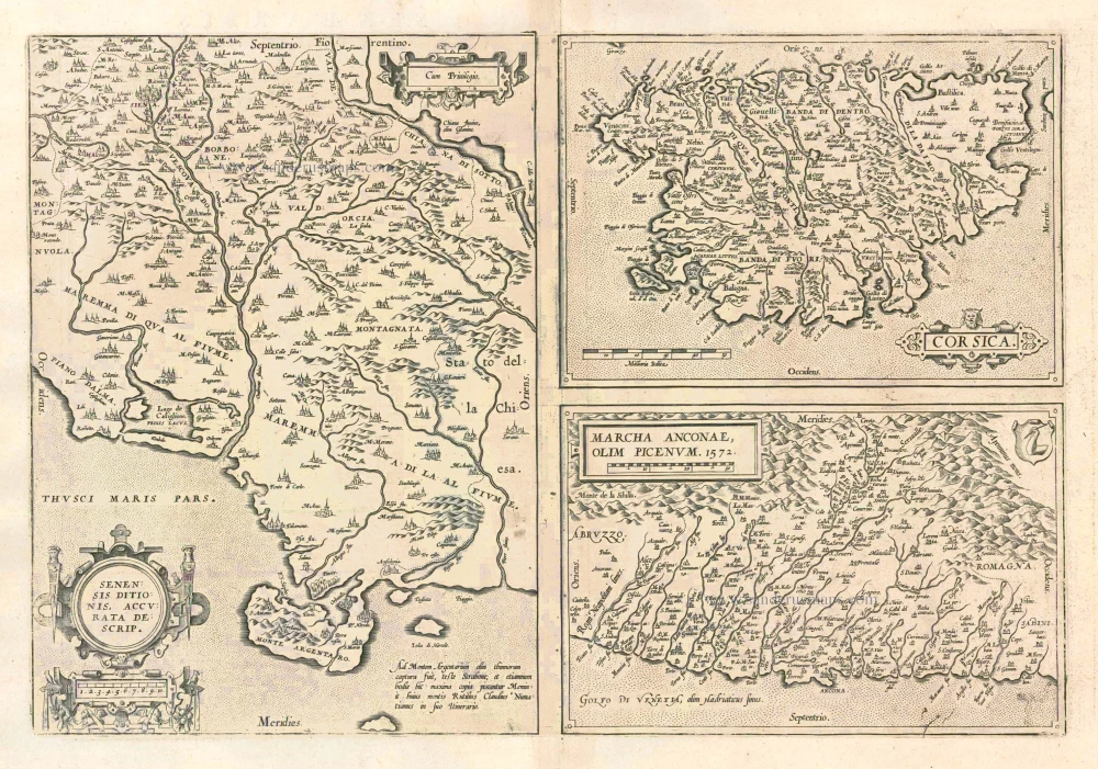
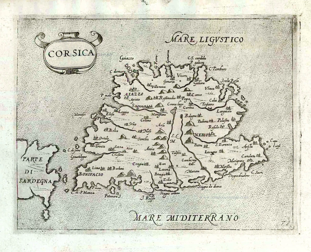
Senensis Ditionis - Corsica - Marcha Anconae olim Picenum. 1572. 1581
Siena - Corsica - Ancona, by Ortelius A.
[Item number: 6252]
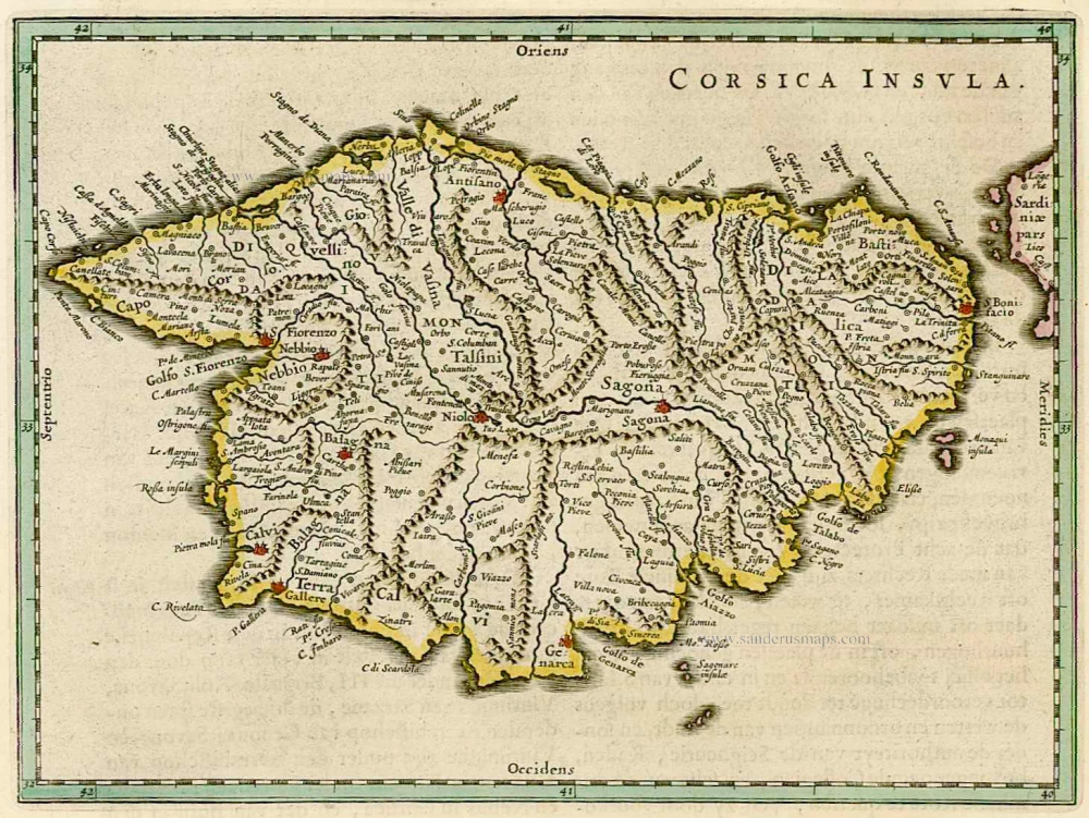
Corsica Insula 1664-65
Corse, by W. & J. Blaeu.
[Item number: 22050]
Senensis Ditionis - Corsica - Marcha Anconae olim Picenum. 1572. 1612
Siena - Corsica - Ancona, by Ortelius A.
[Item number: 22975]
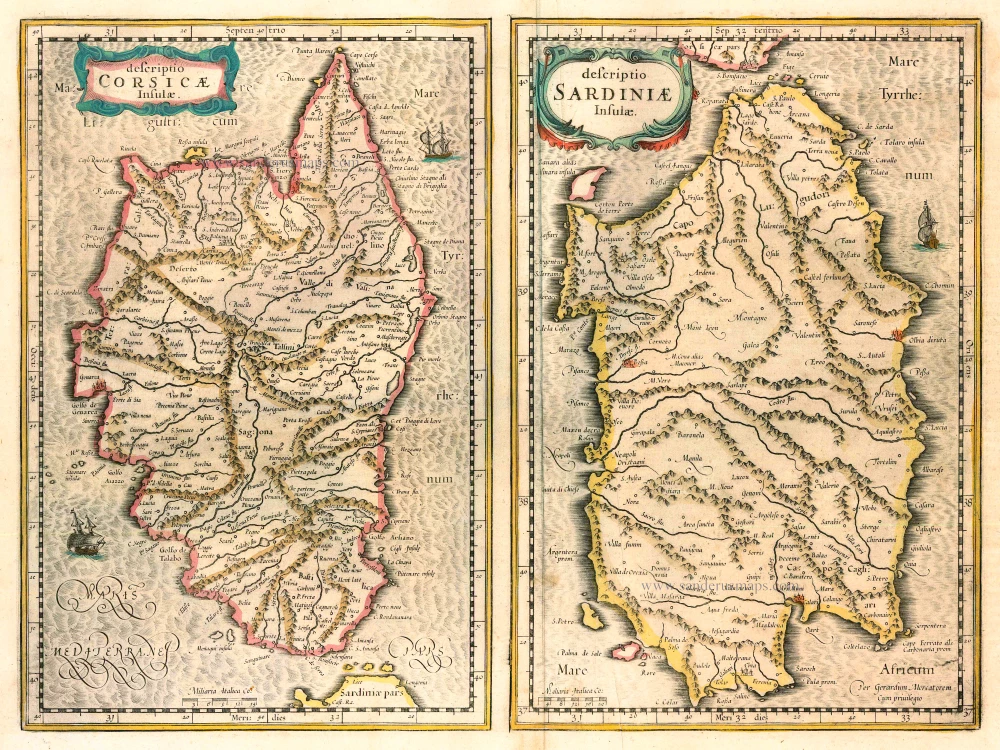
Descriptio Corsicae Insulae [on sheet with:] Descriptio Sardinae Insulae. 1639
CORSICA - SARDINIA by Mercator G. - Hondius H.
[Item number: 24455]

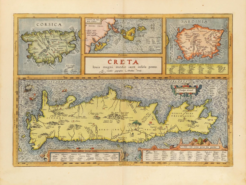
Creta Iovis magni, medio iacet insula ponto. Ex conatibus geographicis Abrahami Ortelij. [On sheet with:] Corsica [and:] Insulae Maris Ionii [and:] Sardinia 1624
Crete, Corsica and Sardinia by Ortelius A.
[Item number: 2052]
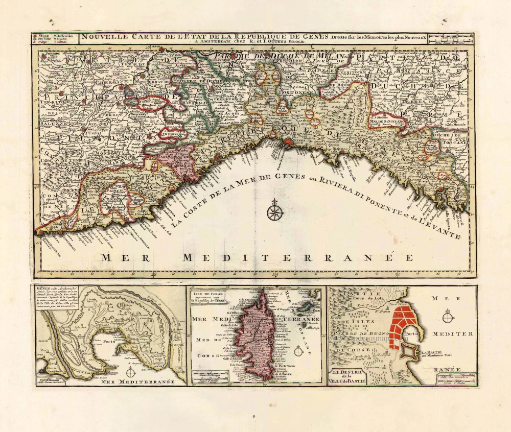
Nouvelle Carte de l'Etat et de la Republique de Genes. 1730-45
Liguria - Corsica, by Ottens R. & I.
[Item number: 25917]
Corsica. 1618
Corse (Corsica), by P. Bertius.
[Item number: 26538]
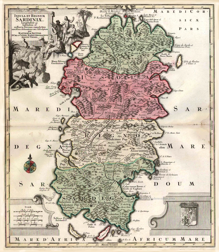
Insula et Regnum Sardiniae. c. 1741
Sardinia, by George Matthaus Seutter.
[Item number: 1857]
Sardinia Insula. 1640
Sardinia, by Willem & Joan Blaeu
[Item number: 27240]
Rare et important
Corsica. After 1575
Corsica by Giovanni Francesco Camocio
[Item number: 27565]
Rare
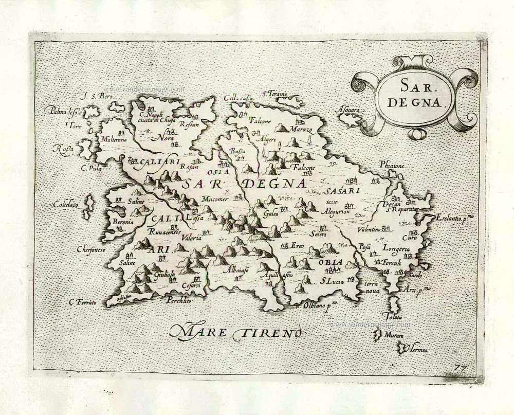
Sardegna. c. 1575
Sardinia (Sardegna) by Giovanni Francesco Camocio
[Item number: 27576]
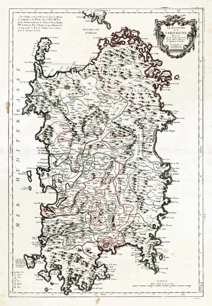
Le Royaume de Sardaigne. 1776-79
Sardinia, by Paolo Santini.
[Item number: 27734]
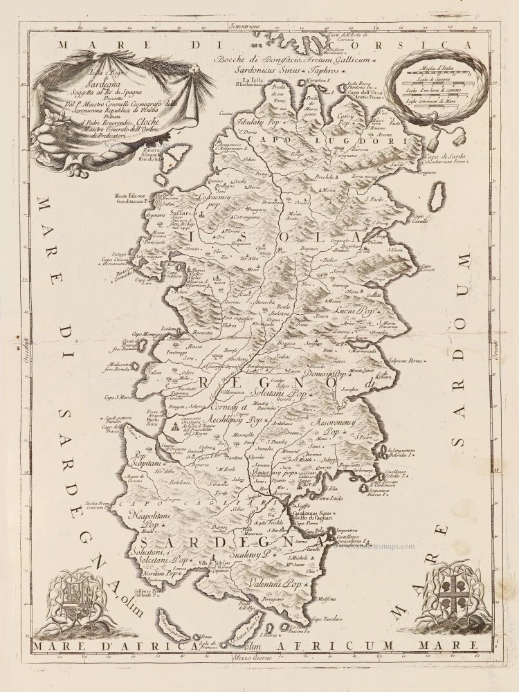
Isola è Regno di Sardegna. 1696
Sardinia (Sardegna) by Vincenzo Coronelli.
[Item number: 28715]
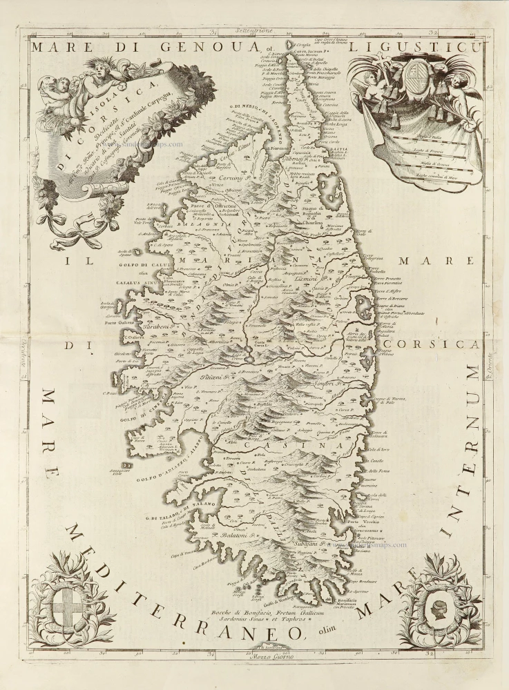
Isola di Corsica, 1696
Corsica by Vincenzo Coronelli.
[Item number: 28720]
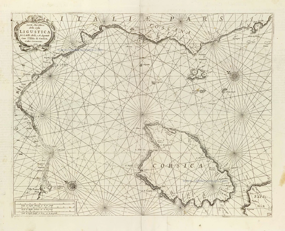
Carta Marittima della Costa Ligustica ... con l'Isola di Corsica, et altre Circonvicine. 1696
Ligurian Coast, including Corsica, by Vincenzo Coronelli.
[Item number: 29134]
Creta Iovis magni, medio iacet insula ponto. [On sheet with:] Corsica [and:] Insulae Maris Ionii [and:] Sardinia. 1584
Corsica, Crete (Creta), Sardinia, by Abraham Ortelius.
[Item number: 29148]
Original colour
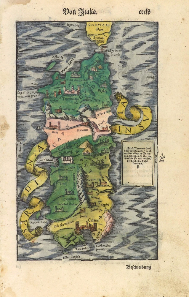
Sardinia Insula. 1592
Sardegna by Sebastian Münster.
[Item number: 29467]
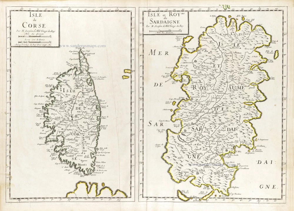
Isle de Corse. - Isle et Roy[au]me de Sardaigne. 1652
Corsica & Sardinia (Sardegna) by Nicolas Sanson.
[Item number: 29674]
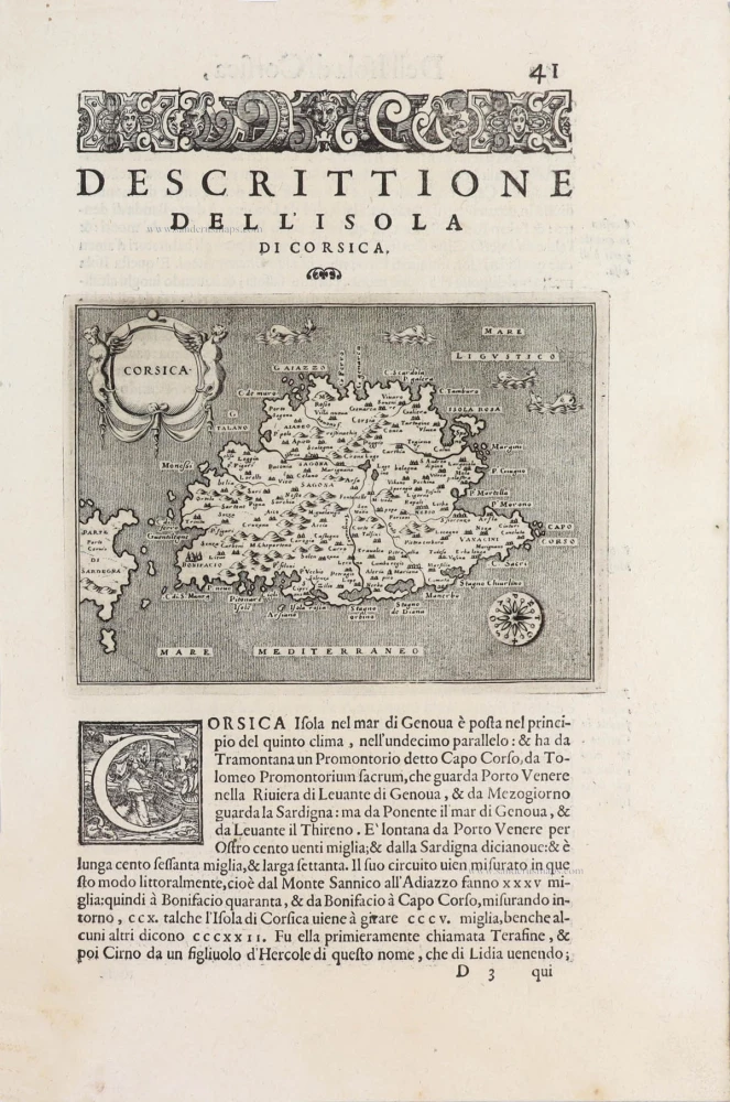
Corsica - [Above map :] Descrittione dell'Isola di Corsica. 1590
Corsica, by Thomaso Porcacchi.
[Item number: 29761]
Insulae Corsicae Nova & accurata Descriptio. 1666
Corse (Corsica) by Johannes Janssonius.
[Item number: 29793]