
The Atlantic Ocean, by G.L. Le Rouge. 1778

Georges-Louis Le Rouge (c.1712-c.1790)
Lieutenant in the regiment of Saxe before establishing himself as a publisher, compiler, and editor of maps at the 'rue des Grands Augustins vis à vis le Panier Fleuri', Paris, c. 1740. He later became 'Ingénieur Géographe du Roi'.
Ocean Atlantique et Mers Adjacentes en Quatre Feuilles Contenant les Cotes de l'Europe, de l'Afrique et de l'Amerique ...
Item Number: 14086 Authenticity Guarantee
Category: Antique maps > Oceans
Old, antique map of The Atlantic Ocean, by G.L. Le Rouge.
Title: Ocean Atlantique et Mers Adjacentes en Quatre Feuilles Contenant les Cotes de l'Europe, de l'Afrique et de l'Amerique ...
Date: 1778.
Copper engraving, printed on paper.
Size (not including margins): 960 x 1370mm (37.8 x 53.94 inches).
Verso: Blank.
Condition: Four sheets, joined as two, excellent.
Condition Rating: A.
From: Le Rouge G.L. Pilote Americain Septentrionale. Paris, 1778.
The atlas was compiled for use by the French Navy during the American Revolution. It contains about twenty-five French versions of maps published originally by William Faden and Thomas Jefferys.
Georges-Louis Le Rouge (c.1712-c.1790)
Lieutenant in the regiment of Saxe before establishing himself as a publisher, compiler, and editor of maps at the 'rue des Grands Augustins vis à vis le Panier Fleuri', Paris, c. 1740. He later became 'Ingénieur Géographe du Roi'.
Related items
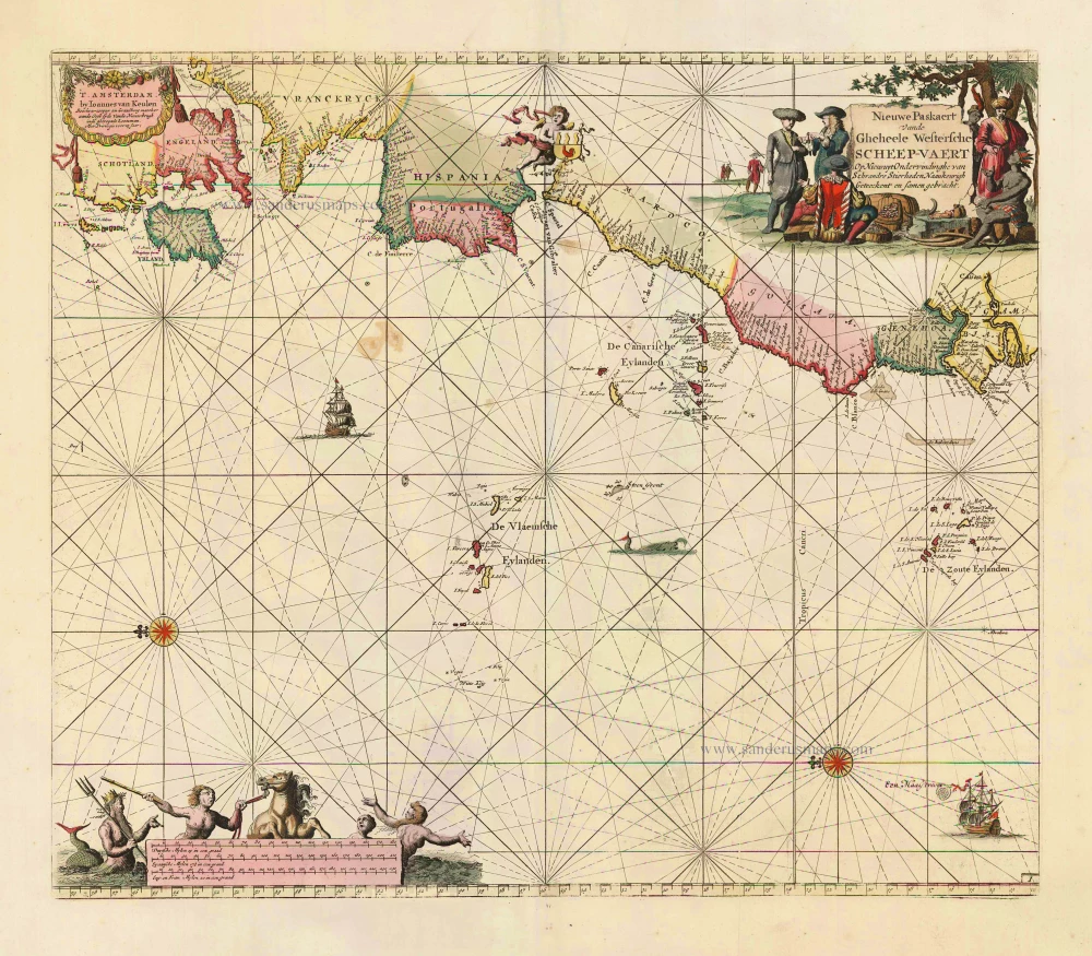
Nieuwe Paskaert vande Gheheele Westersche Scheep-Vaert, op Nieus uyt Ondervindinghe van Schrandre Stierlieden Naaukeurigh Geteeckent en Samen Gebracht. 1697-1709
The Atlantic Ocean, by J. Van Keulen.
[Item number: 11218]
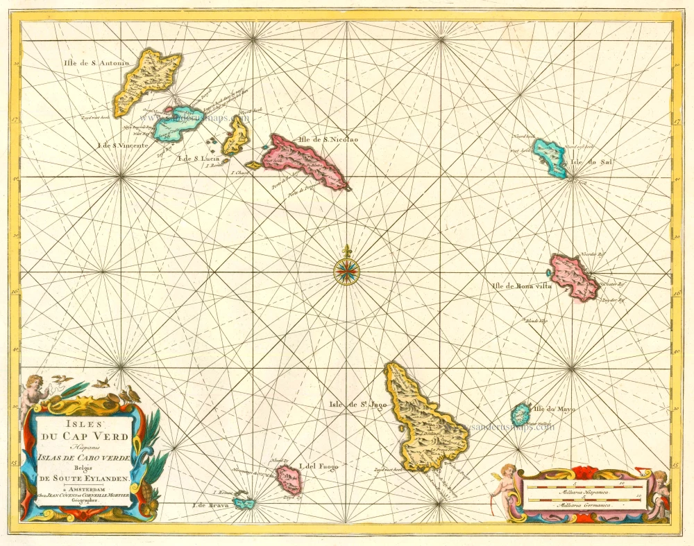
Isles du Cap Verd Hispanis Islas de Cabo Verde Belgis de Soute Eylanden. 1721-41
Cape Verde Islands, by Covens & Mortier.
[Item number: 23621]
Luxury colouring!
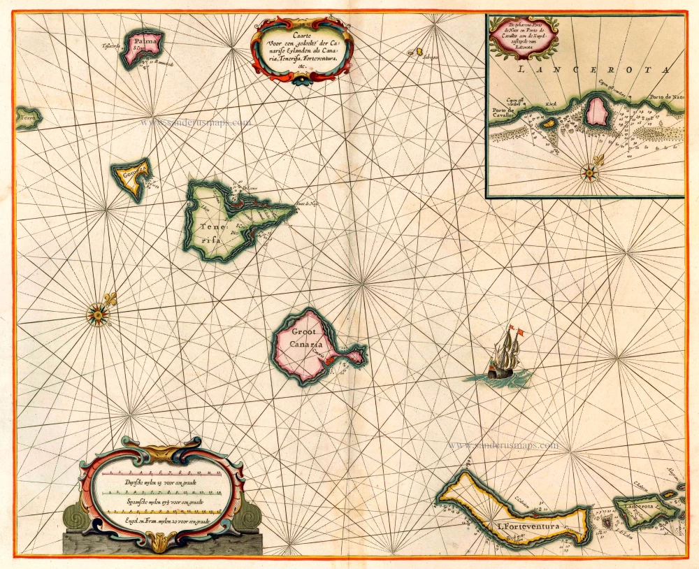
Caarte voor en Gedeelte der Canarise Eylanden als Canaria, Tenerifa, Forteventura, etc. 1666
The Canary Islands, by Pieter Goos.
[Item number: 25612]

The first sea chart relating to North America to use the Mercator projection
West-Indische Paskaert waer in de graden der breedde over wederzijden vande middellijn wassende so vergrooten dat die geproportioneert sijn tegen hunne nevenstaende graden der lengde; ... c. 1680
Atlantic Ocean. by P. Goos - J. Van Keulen
[Item number: 25938]

Paskaart van de Cust van Portugal, Barbaria, en Genehoa Beginnende van d'Barlengers tot aan C. Verde. 1680-1694
Sea chart of the northwest coast of Africa, with the Azores, Canary Islands and Cape Verde Islands, by Johannes Van Keulen.
[Item number: 26808]
Rare.
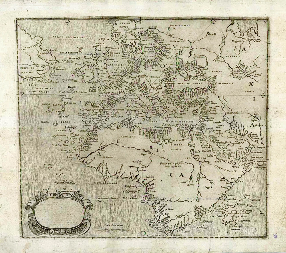
[No title] c. 1575
Atlantic Ocean - Europe, Africa & Eastern Canada by Giovanni Francesco Camocio
[Item number: 27086]
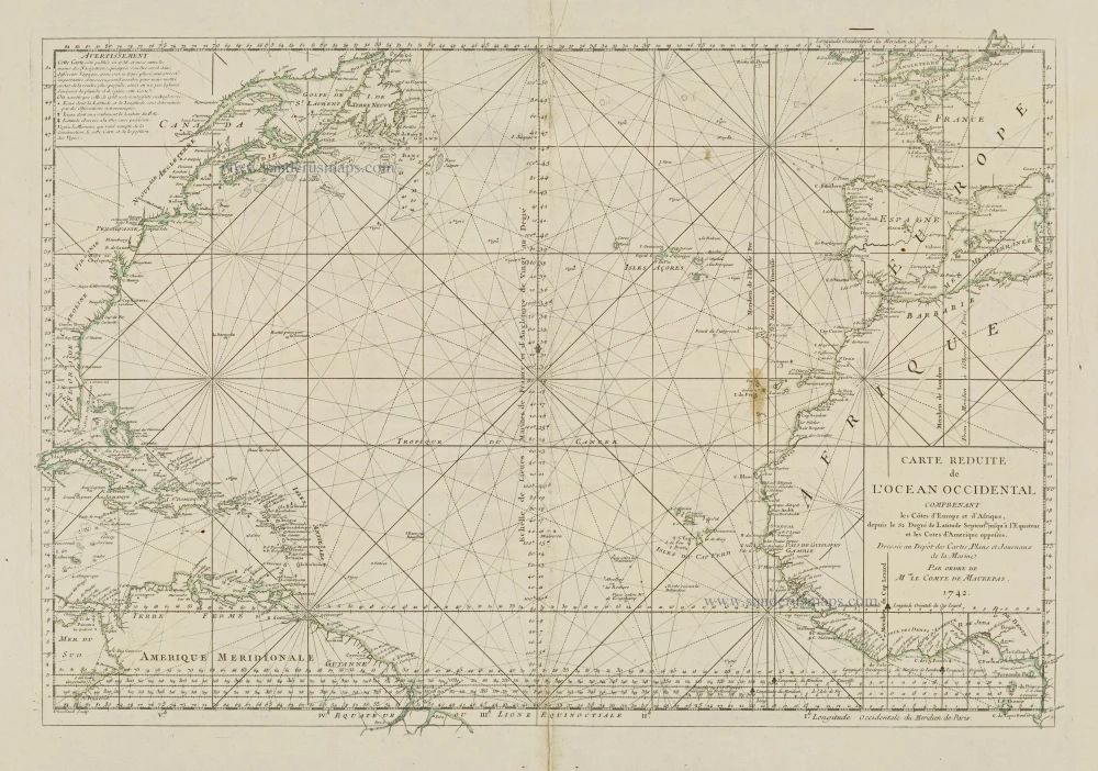
Carte Reduite de l'Ocean Occidental comprenant les Côtes d'Europe et d'Afrique, depuis le 52 Degré de Latitude Sept. jusqu'à l'Equateur et les Cotes d'Amerique opposées. 1756-1770
Atlantic Ocean, by J.N. Bellin.
[Item number: 28087]
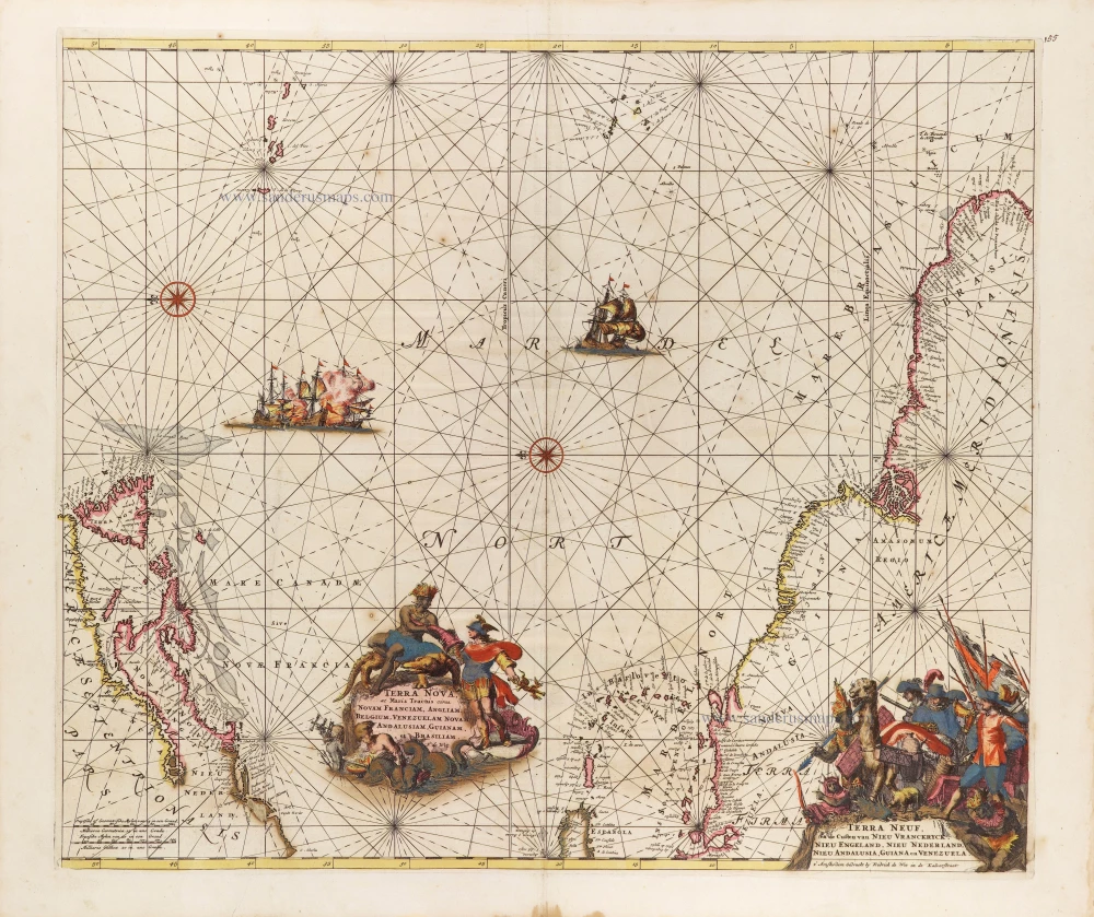
Terra Nova ac Maris Tractus circa Novam Franciam, Angliam, Belgium, Venezuelam Novam, Andalusiam, Guianam, et Brasiliam. - Terra Neuf, en de Custen van Nieu Vranckryck, Nieu Engeland, Nieu Nederland, Nieu Andalusia, Guiana en Venezuela. c. 1680
The Western Atlantic Ocean, by Frederick de Wit.
[Item number: 29175]