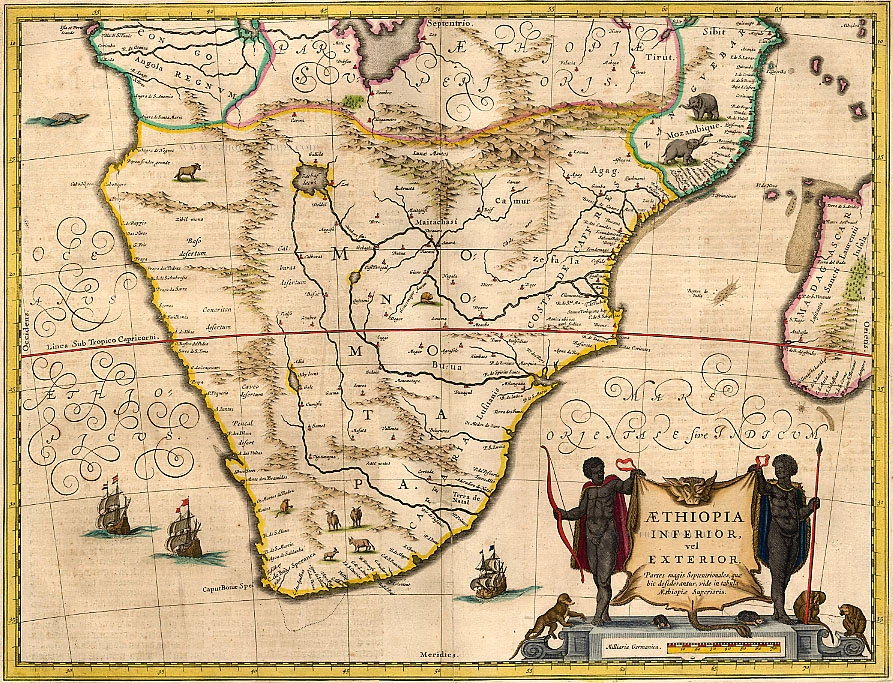
Antique map of Southern Africa by J. Janssonius 1645-58
Aethiopia Inferior, vel Exterior.
Item Number: 1159 Authenticity Guarantee
Category: Antique maps > Africa
Copper engraving
Size: 38.5 x 52cm (15 x 20.3 inches)
Verso text: Dutch
Condition: Old coloured.
References: Van der Krogt 1, 8800:1.
From: J. Janssonius, Nieuwen Atlas, Ofte Werelt-beschrijvinghe. 1645-47.
The first edition of this map is 1636.
Jansson copied the map from Blaeu (his rival) who edited this map already in 1634.
The differences between Blaeu and Jansson are:
Jansson:
1 ship off E. Coast
Lake Zachaf named inside lake
Town of Calburas on left bank of River
Blaeu:
2 ships off E. Coast
Lake Zachaf named outside lake
Town of Calburas right bank of River
Jansson's atlases and maps occur for sale less frequently than Blaeu's. His work is comparable; in fact it is frequently difficult to tell them apart as they borrowed from one another, sometimes Jansson having the priority sometimes Blaeu.

