
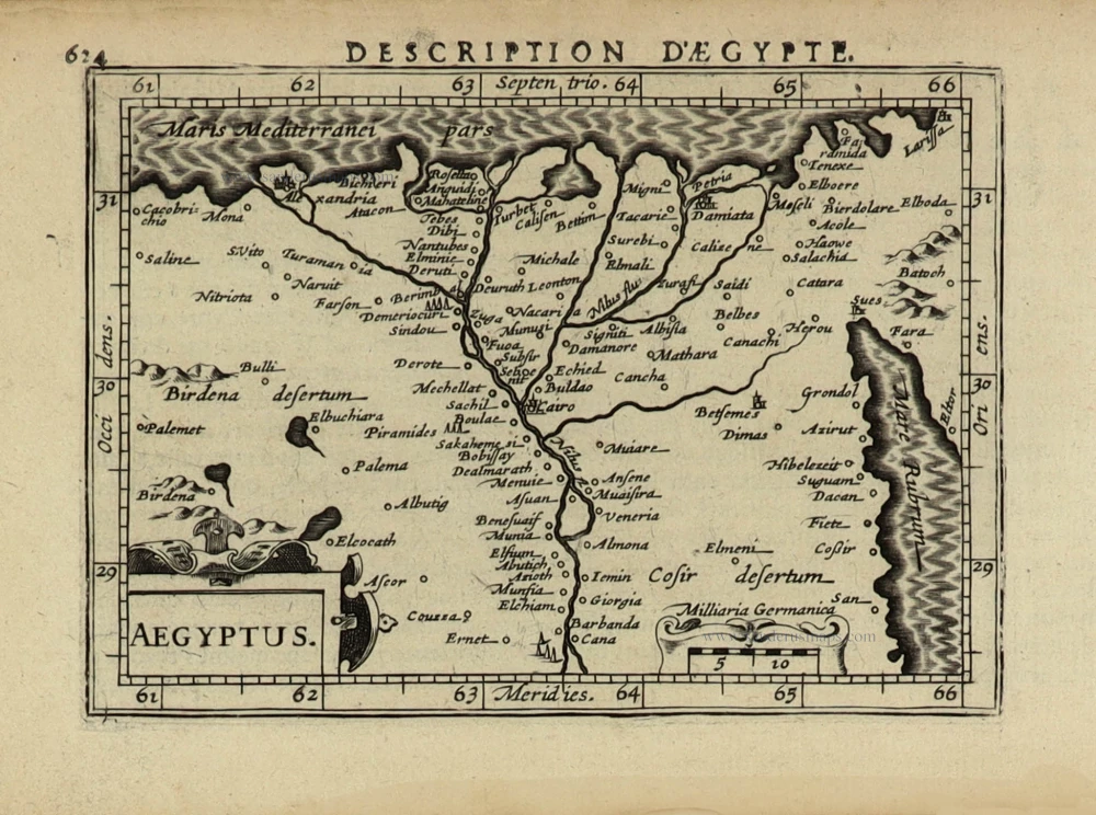
Egypt by Petrus Bertius, published by Jodocus Hondius II. 1618
Petrus Bertius (1565-1629)
Petrus Bertius, born at Beveren, Flanders, in 1565, was related to Pieter van den Keere (Kaerius) and Jodocus Hondius. Both famous cartographers were brothers-in-law of Petrus Bertius. As a refugee, he settled in Amsterdam, and after finishing his studies, he became a professor of mathematics and librarian at the University of Leiden. In 1618, he became a cosmographer and historiographer for Louis XIII of France. He lived in Paris, where he died in 1629.
Petrus Bertius's remarkable work ethic is evident in the numerous geographical and theological works he produced. His contributions to the works of Clüver and Herrera further solidified his reputation in geography.
His fame among geographers was established by his text in the pocket atlas Tabularum Geographicarum and by his edition of Ptolemy’s Geographia.
The origin of the Tabularum Geographicum lies in the well-known miniature atlas Caert thresoor, published by Barent Langenes in 1598 in Middelburg. Bertius engraved 169 maps for this small but attractive atlas, sold for the first time in 1599 by Cornelis Claesz in Amsterdam. In 1600, Claesz published the pocket atlas with a Latin text composed by Petrus Bertius. From then on, new editions, often enlarged with new maps, regularly appeared, subsequently published by Cornelis Claesz, Jodocus Hondius, Johannes Janssonius and ultimately, in 1649, by Claes Jansz. Visscher.
Koeman divides this series of pocketbooks into two atlases: The Caert-thresoor, published by Langenes and Claesz., with five editions between 1598 and 1609, and the Tabularum Geographicarum Contractarum by Petrus Bertius with ten editions between 1600 and 1650.
Aegyptus.
Item Number: 32061 Authenticity Guarantee
Category: Antique maps > Africa
Egypt by Petrus Bertius, published by Jodocus Hondius II.
Title: Aegyptus.
Oriented to the west.
Date of the first edition: 1616.
Date of this map: 1618.
Copper engraving, printed on paper.
Image size: 95 x 135mm (3¾ x 5¼ inches).
Sheet size: 120 x 185mm (4¾ x 7¼ inches).
Verso: French text.
Condition: Excellent.
Condition Rating: A+.
From: Bertius P. La Geographie Racourcie de Pierre Bertius. Amsterdam, Jodocus Hondius jr. 1618. (Van der Krogt 3, 342:11)
Petrus Bertius (1565-1629)
Petrus Bertius, born at Beveren, Flanders, in 1565, was related to Pieter van den Keere (Kaerius) and Jodocus Hondius. Both famous cartographers were brothers-in-law of Petrus Bertius. As a refugee, he settled in Amsterdam, and after finishing his studies, he became a professor of mathematics and librarian at the University of Leiden. In 1618, he became a cosmographer and historiographer for Louis XIII of France. He lived in Paris, where he died in 1629.
Petrus Bertius's remarkable work ethic is evident in the numerous geographical and theological works he produced. His contributions to the works of Clüver and Herrera further solidified his reputation in geography.
His fame among geographers was established by his text in the pocket atlas Tabularum Geographicarum and by his edition of Ptolemy’s Geographia.
The origin of the Tabularum Geographicum lies in the well-known miniature atlas Caert thresoor, published by Barent Langenes in 1598 in Middelburg. Bertius engraved 169 maps for this small but attractive atlas, sold for the first time in 1599 by Cornelis Claesz in Amsterdam. In 1600, Claesz published the pocket atlas with a Latin text composed by Petrus Bertius. From then on, new editions, often enlarged with new maps, regularly appeared, subsequently published by Cornelis Claesz, Jodocus Hondius, Johannes Janssonius and ultimately, in 1649, by Claes Jansz. Visscher.
Koeman divides this series of pocketbooks into two atlases: The Caert-thresoor, published by Langenes and Claesz., with five editions between 1598 and 1609, and the Tabularum Geographicarum Contractarum by Petrus Bertius with ten editions between 1600 and 1650.
Related items
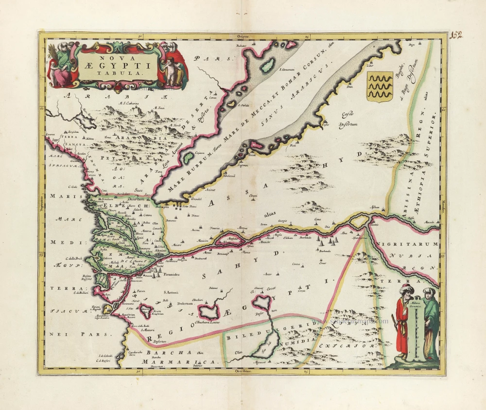
Nova Aegypti Tabula. c. 1680
Egypt, by Joan Blaeu, published by Frederick de Wit.
[Item number: 10610]

Aegyptus Hodierna. 1716-37
Egypt, by Johann Baptist Homann.
[Item number: 20813]

Reisen der Kinder von Israel aus Egypten. 1582
Holy Land - Egypt by Heinrich Bünting.
[Item number: 22612]

Natoliae quae olim Asia Minor [on sheet with] Argypti Recentioe Descriptio [and] Carthaginis Celeberrimi Sinus Typus 1612
Turkey - Egypt - Cartago by Ortelius A.
[Item number: 22800]

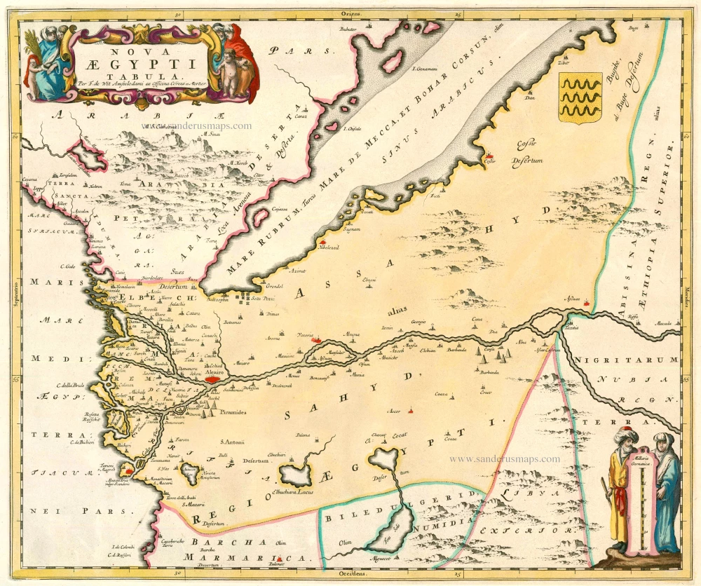
Nova Aegypti Tabula 1662
Egypt, by Joan Blaeu.
[Item number: 22818]

Natoliae quae olim Asia Minor [on sheet with] Argypti Recentioe Descriptio [and] Carthaginis Celeberrimi Sinus Typus 1598
Turkey - Egypt - Cartago, by A. Ortelius.
[Item number: 22865]
Nova Aegypti Tabula 1721-41
Egypt, by F. De Wit after Blaeu.
[Item number: 23616]

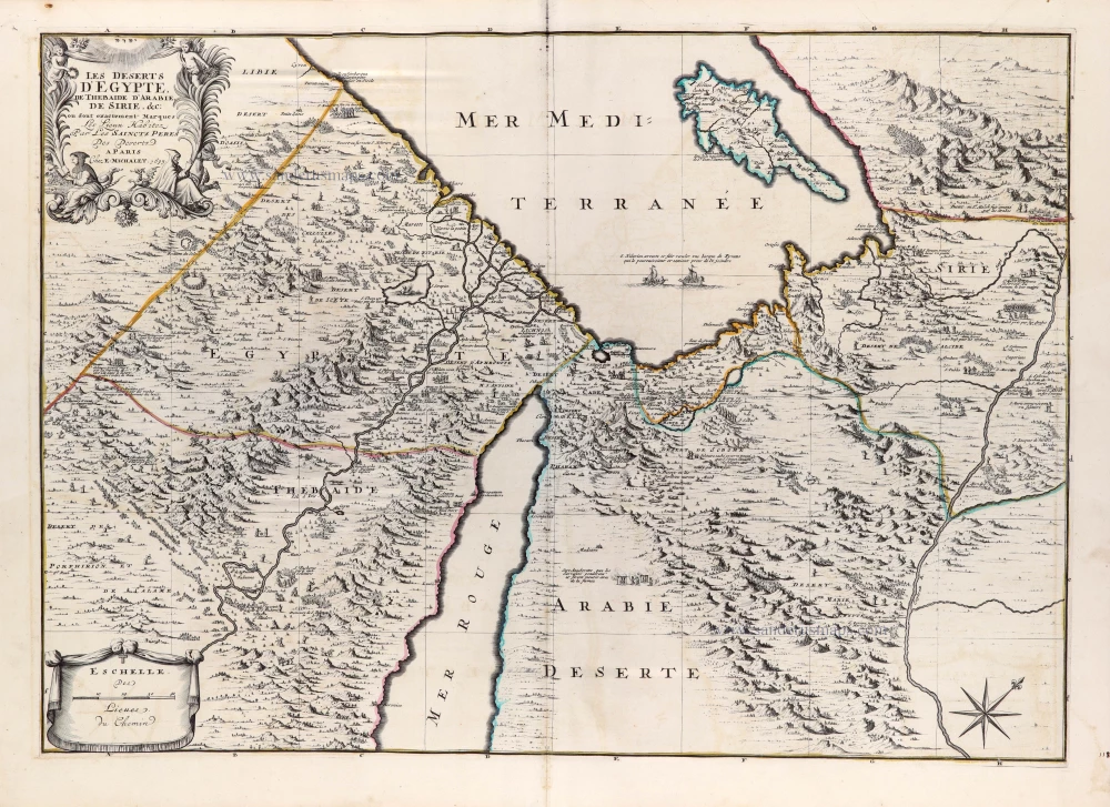
Les Deserts d'Egypte, de Thebaide d'Arabie, de Sirie, &c., ou sont Exactement Marques les Lieux Habitez par les Saincts Peres des Deserts 1710
Egypt and the Middle East by Jaillot - Covens & Mortier.
[Item number: 23617]

Alexandria, Vetustissimum Aegypti Emporium, Amplissima Civitas .Penon de Veles. 1597
Egypt - Alexandria by Georg Braun & Frans Hogenberg
[Item number: 24010]

Egypte, partie de l'Afrique. 1713
Egypt, by Pieter van der Aa.
[Item number: 26133]

Northern Africa by Lorenz Fries.
Libyae Interioris Pars. [Title on verso:] Tabula .III. Aphricae. 1525
Libya - Egypt, by Lorenz Fries.
[Item number: 27977]

Carte de L'Egypte Ancienne et Moderne. 1776-79
Egypt, by Francesco Santini.
[Item number: 28099]

Spectacular and rare map.
Aegyptus Antiqua. 1584
Egypt by Ortelius Abraham.
[Item number: 29238]

Description de la Ville d'Alexandrie et des Antiquites Remarquables qu'on y voit. 1719
Alexandria (Egypt), by Z. Châtelain.
[Item number: 29382]

Patriarchatus Alexandrini Geographica descriptio. 1640
Egypt - Libya J.B. Tavernier.
[Item number: 30047]
Les deserts d'Egypte, de Thebaide, d'Arabie, de Sirie &c ou sont exactement marqués les lieux habitez par les Saincts Peres des Deserts. 1692
Egypt by N. Sanson, so-called published by Hubert Jaillot. (Pirated edition by Pierre Mortier).
[Item number: 31201]