This product is successfully added to your cart
Questions about this product? (#26228)

Authenticity Guarantee
All items are guaranteed authentic prints (woodcuts or engravings) or manuscripts made at or about (c.) the given date and in good condition unless stated otherwise. We don’t sell facsimiles or reproductions. We deliver every map with a Certificate of Authenticity containing all the details.

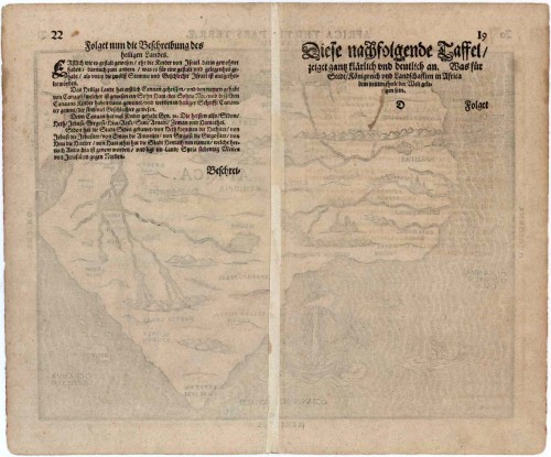
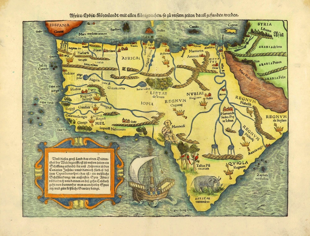
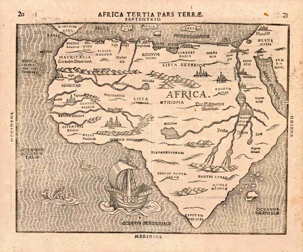
Africa, by H. Bünting. 1581

This is one of ten maps in Bünting's Itinerarium, in which the author, a theological commentator, rewrote the Bible as an illustrated travel book. Other maps in the series bear out his imaginative approach to cartography, which pictures the World in the form of a cloverleaf, Europe as the Queen of the World, and Asia as Pegasus.


Heinrich Bünting (Hannover, 1545-1606)

Heinrich Bünting was a protestant pastor and theologian. He was also a brewer in Hannover, and he was concerned with history and wrote a Braunschweigische Chronica in 1584. His main work was the popular Itinerarium Sacrae Scripturae, which after the first edition in Magdeburg in 1581 had many editions in German, Latin, Dutch, Swedish, Danish, Czech and English.
The book gave an overview of biblical geography based on the travel descriptions of various notable people from the Old and New Testaments. It contained ten woodcut maps, including three figurative maps: the world depicted as a cloverleaf with Jerusalem in the centre, Europe in the shape of a crowned woman, and Asia as the winged horse Pegasus.

back

Africa Tertia Pars Terrae.

€700  ($721 / £581)
add to cart
Buy now
questions?
PRINT

Item Number:  26228 Authenticity Guarantee

Category:  Antique maps > Africa

Africa, by H. Bünting.

Title: Africa Tertia Pars Terrae.

Date of the first edition: 1581.
Date of this map: 1581.

Woodcut, printed on paper.
Size (not including margins): 260 x 337mm (10.24 x 13.27 inches).
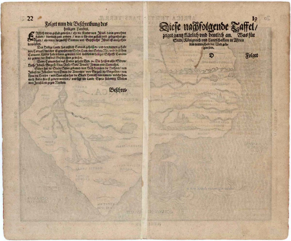
Verso: German text.
Condition: Excellent.
Condition Rating: A+.

From: Itinerarium Sacrae Scriptura . . . Magdeburg, 1581- ....

This is one of ten maps in Bünting's Itinerarium, in which the author, a theological commentator, rewrote the Bible as an illustrated travel book. Other maps in the series bear out his imaginative approach to cartography, which pictures the World in the form of a cloverleaf, Europe as the Queen of the World, and Asia as Pegasus.


Heinrich Bünting (Hannover, 1545-1606)

Heinrich Bünting was a protestant pastor and theologian. He was also a brewer in Hannover, and he was concerned with history and wrote a Braunschweigische Chronica in 1584. His main work was the popular Itinerarium Sacrae Scripturae, which after the first edition in Magdeburg in 1581 had many editions in German, Latin, Dutch, Swedish, Danish, Czech and English.
The book gave an overview of biblical geography based on the travel descriptions of various notable people from the Old and New Testaments. It contained ten woodcut maps, including three figurative maps: the world depicted as a cloverleaf with Jerusalem in the centre, Europe in the shape of a crowned woman, and Asia as the winged horse Pegasus.
References: Betz - #24; Norwich O.I. - #17

Related items

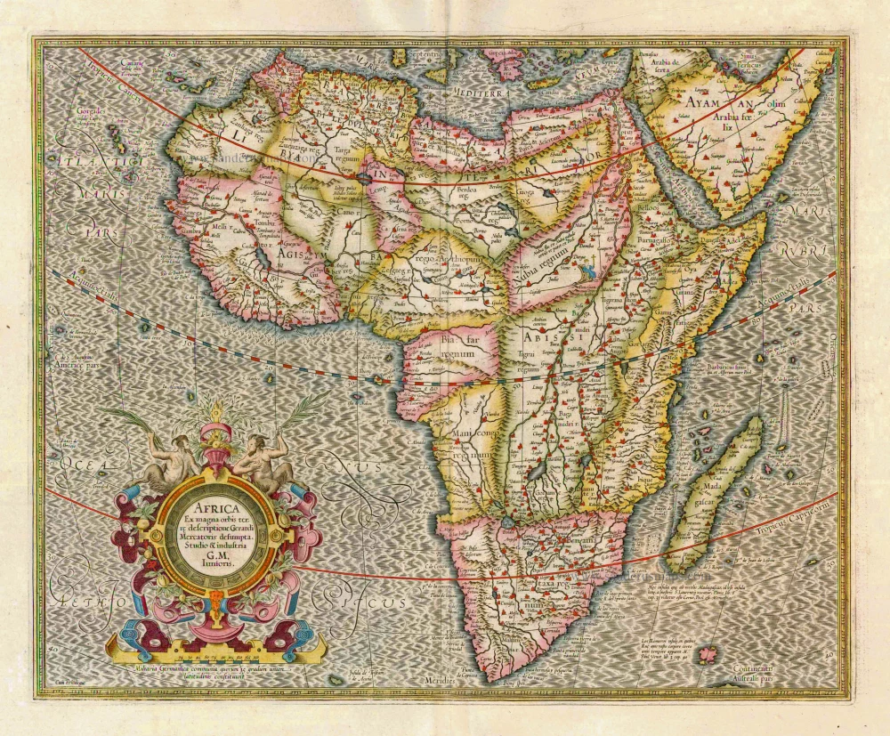
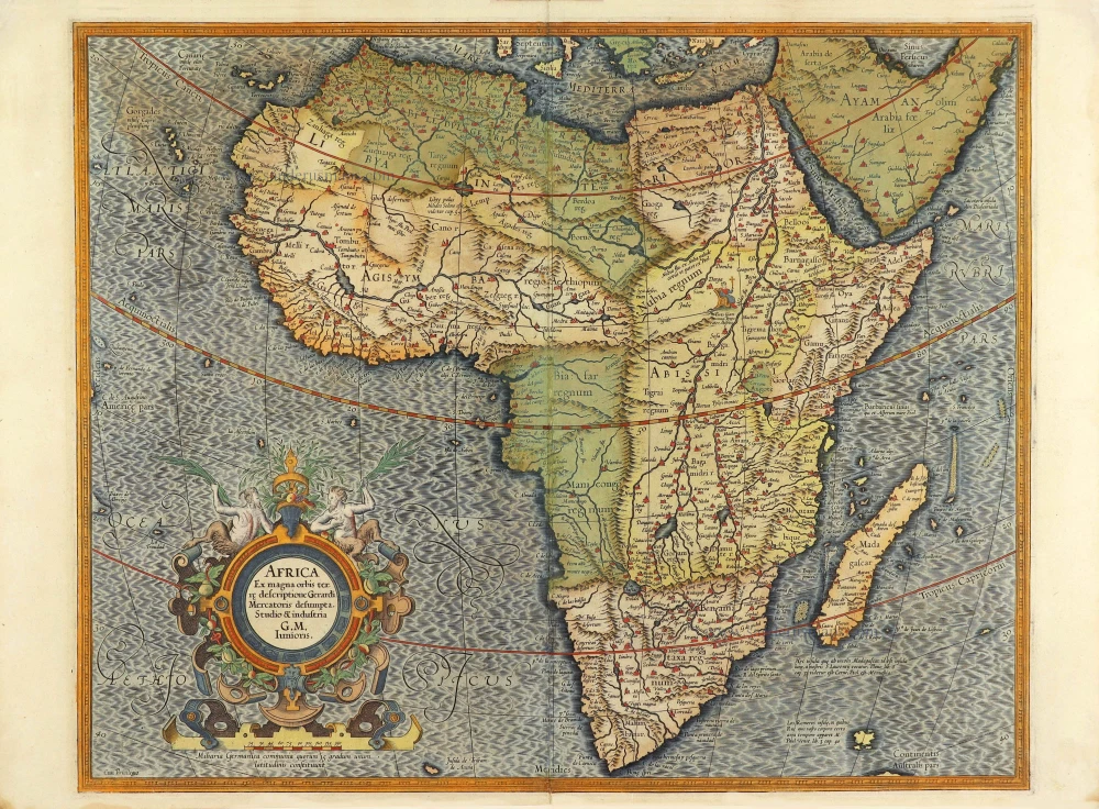
Africa, by G. Mercator.

Africa Ex magna orbis terre 1633
Africa, by G. Mercator.
[Item number: 1452]

€870  ($896.1 / £722.1)
Africa by Gerard Mercator.

Africa Ex magna orbis terre. 1623
Africa by Gerard Mercator.
[Item number: 24900]

€1150  ($1184.5 / £954.5)
Africa, by François de Belleforest.

Scarce
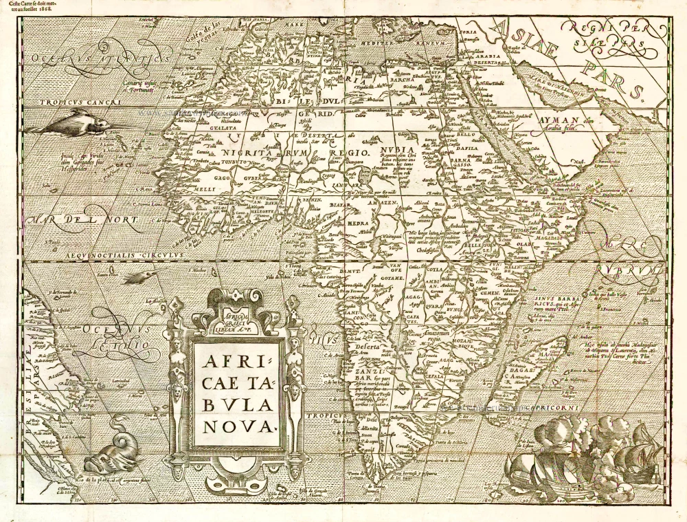
Africae Tabula Nova. 1575
Africa, by François de Belleforest.
[Item number: 27380]

€1100  ($1133 / £913)
Africa by Sebastian Münster.

Africa/Lybia/Morenland/mit allen Künigreichen/so zu unsern zeiten darin gefunden werden. 1572
Africa by Sebastian Münster.
[Item number: 28142]

€1050  ($1081.5 / £871.5)
Africa by Willem Blaeu.

Africae nova descriptio. 1642
Africa by Willem Blaeu.
[Item number: 28388]

€3600  ($3708 / £2988)
Africa by Gerard Mercator.

Africa Ex magna orbis terre. 1623
Africa by Gerard Mercator.
[Item number: 28678]

€1000  ($1030 / £830)
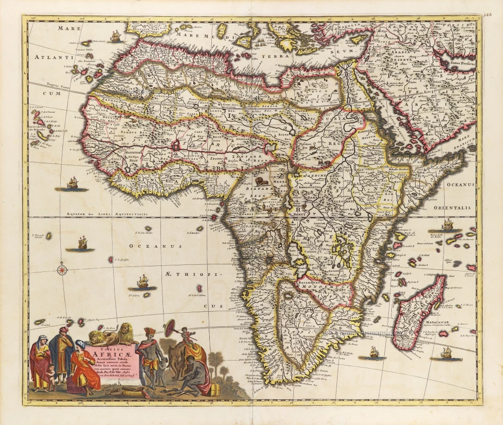
Africa, by Frederick De Wit.

Totius Africae Accuratissima Tabula, c. 1697-1704
Africa, by Frederick De Wit.
[Item number: 29289]

€650  ($669.5 / £539.5)
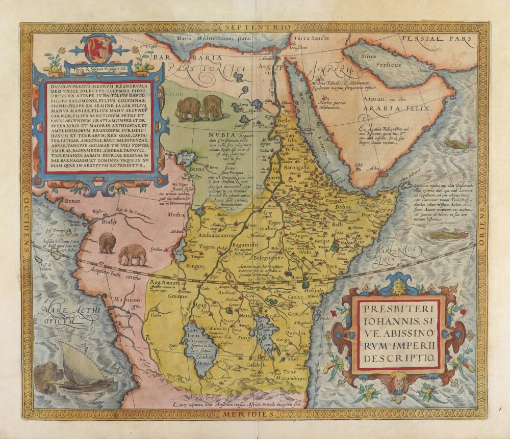
Prestor John Map (Western & Central Africa), by Abraham Ortelius.

Important map
Presbiteri Iohannis, sive, Abissinorum Imperii Descriptio. 1584
Prestor John Map (Western & Central Africa), by Abraham Ortelius.
[Item number: 29722]

€1200  ($1236 / £996)
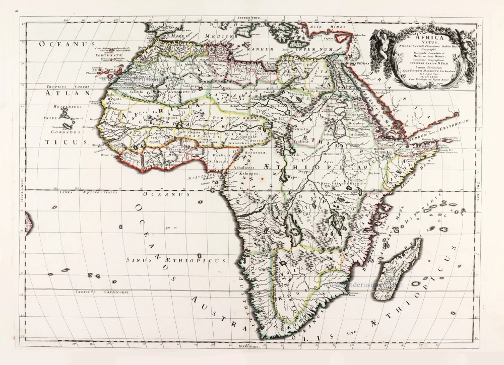
Ancient Africa by Nicolas & Guillaume Sanson.

Africa Vetus. 1667-69
Ancient Africa by Nicolas & Guillaume Sanson.
[Item number: 30003]

€450  ($463.5 / £373.5)
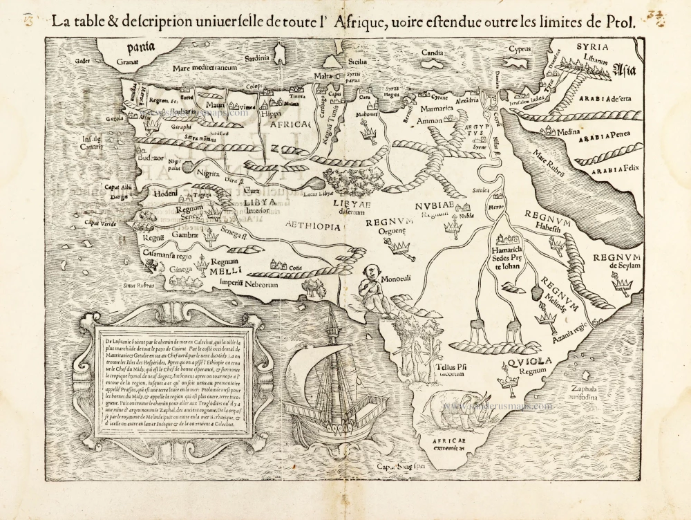
AFRICA by Sebastian Münster

La table & description universelle de toute l' Afrique, voire estendue outre les limites de Ptol. 1568
AFRICA by Sebastian Münster
[Item number: 30519]

€800  ($824 / £664)
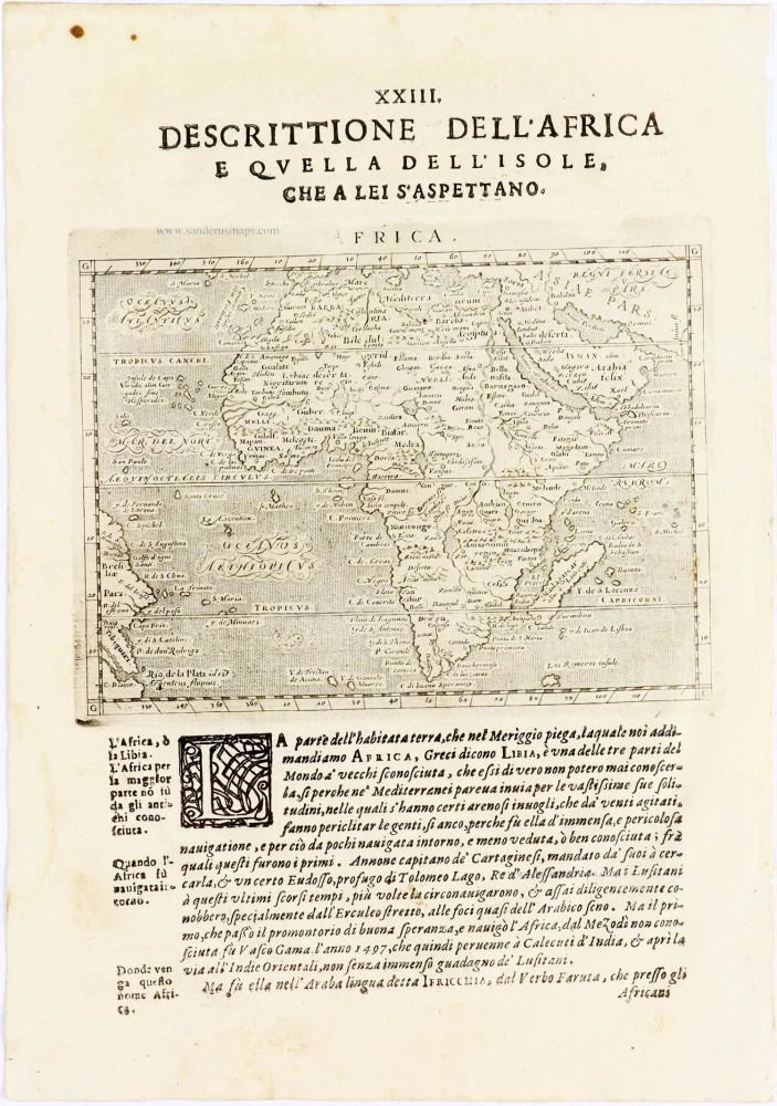
Africa by Giovanni Magini.

Africa 1621
Africa by Giovanni Magini.
[Item number: 30775]

€180  ($185.4 / £149.4)
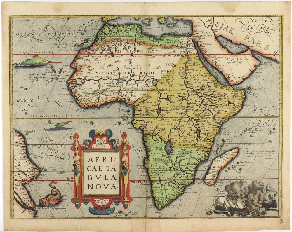
Africa by Abraham Ortelius

Important map
Africae Tabula Nova. 1575
Africa by Abraham Ortelius
[Item number: 30948]

€1550  ($1596.5 / £1286.5)
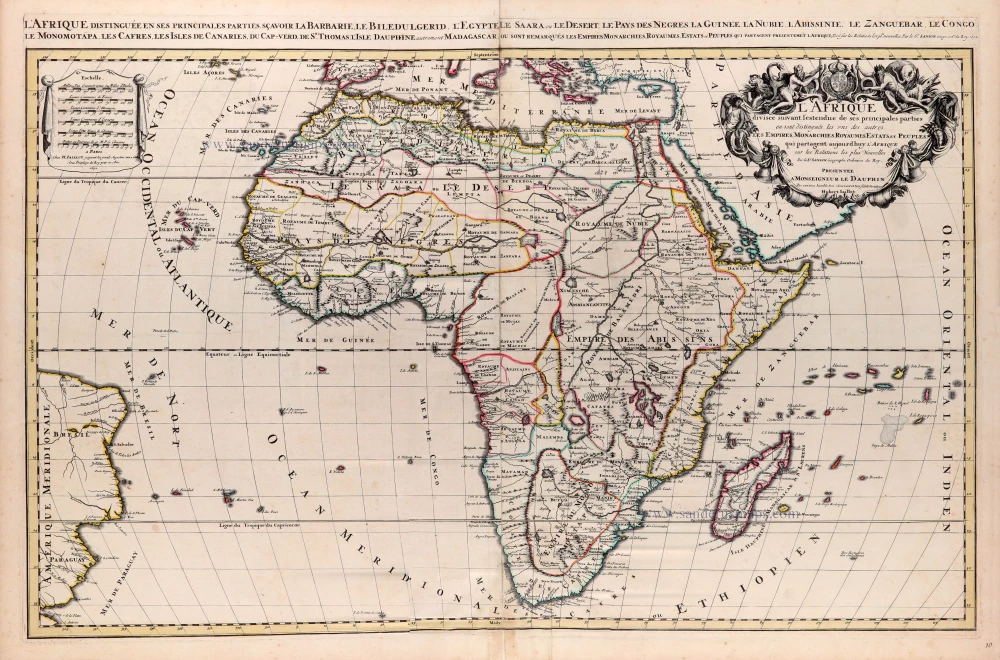
Africa, by N. Sanson, so-called published by Hubert Jaillot. (Pirated edition by Pierre Mortier).

L'Afrique divisée suivant l'estendue de ses principales parties ou sont distingués les uns des autres, Les Empires, Monarchies, Royaumes, Estats et Peuples qui partagent aujourd'huy l'Afrique sur les Relations les plus Nouvelles. 1692
Africa, by N. Sanson, so-called published by Hubert Jaillot. (Pirated edition by Pierre Mortier).
[Item number: 31141]  new

€950  ($978.5 / £788.5)