
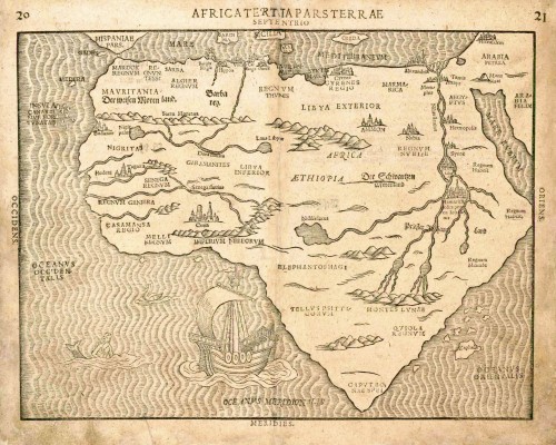
Old, antique map of Africa by H. Bünting 1581

Heinrich Bünting (Hannover, 1545-1606)
Heinrich Bünting was a protestant pastor and theologian. He was also a brewer in Hannover, and he was concerned with history and wrote a Braunschweigische Chronica in 1584. His main work was the popular Itinerarium Sacrae Scripturae, which after the first edition in Magdeburg in 1581 had many editions in German, Latin, Dutch, Swedish, Danish, Czech and English.
The book gave an overview of biblical geography based on the travel descriptions of various notable people from the Old and New Testaments. It contained ten woodcut maps, including three figurative maps: the world depicted as a cloverleaf with Jerusalem in the centre, Europe in the shape of a crowned woman, and Asia as the winged horse Pegasus.
Africa Tertia Pars Terrae.
Item Number: 4192 Authenticity Guarantee
Category: Antique maps > Africa
Old, antique map of Africa by H. Bünting.
Woodcut
Size: 26 x 34cm (10.1 x 13.1 inches)
Verso text: German
Condition: Centrefold restored, margins slightly soiled.
Condition Rating: B+
References: Betz, 24; Norwich O.I., 17.
From: Itinerarium Sacrae Scriptura . . . Magdeburg, 1581- ....
This is one of ten maps in Bünting's Itinerarium, in which the author, a theological commentator, rewrote the Bible as an illustrated travel book. Other maps in the series bear out his imaginative approach to cartography, which pictures the World in the form of a cloverleaf, Europe as the Queen of the World, and Asia as Pegasus.
Heinrich Bünting (Hannover, 1545-1606)
Heinrich Bünting was a protestant pastor and theologian. He was also a brewer in Hannover, and he was concerned with history and wrote a Braunschweigische Chronica in 1584. His main work was the popular Itinerarium Sacrae Scripturae, which after the first edition in Magdeburg in 1581 had many editions in German, Latin, Dutch, Swedish, Danish, Czech and English.
The book gave an overview of biblical geography based on the travel descriptions of various notable people from the Old and New Testaments. It contained ten woodcut maps, including three figurative maps: the world depicted as a cloverleaf with Jerusalem in the centre, Europe in the shape of a crowned woman, and Asia as the winged horse Pegasus.
Related items
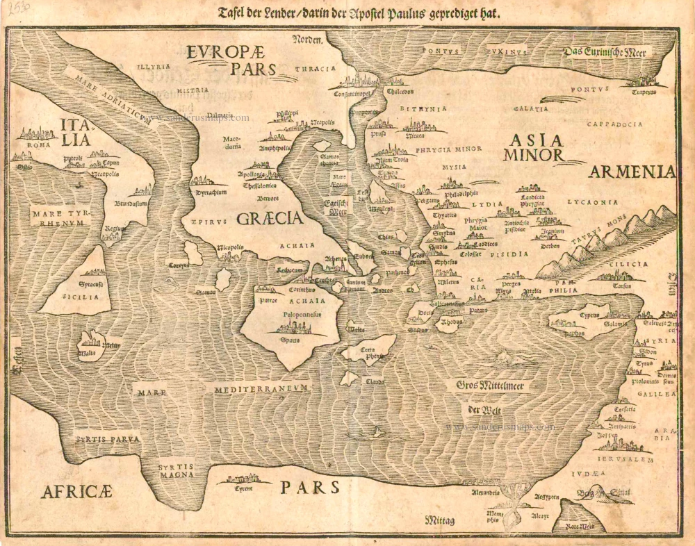
Tafel der Lender darin der Apostel Paulus geprediget hat. 1581
Eastern part of the Mediterranean Sea, by Heinrich Bünting.
[Item number: 2530]
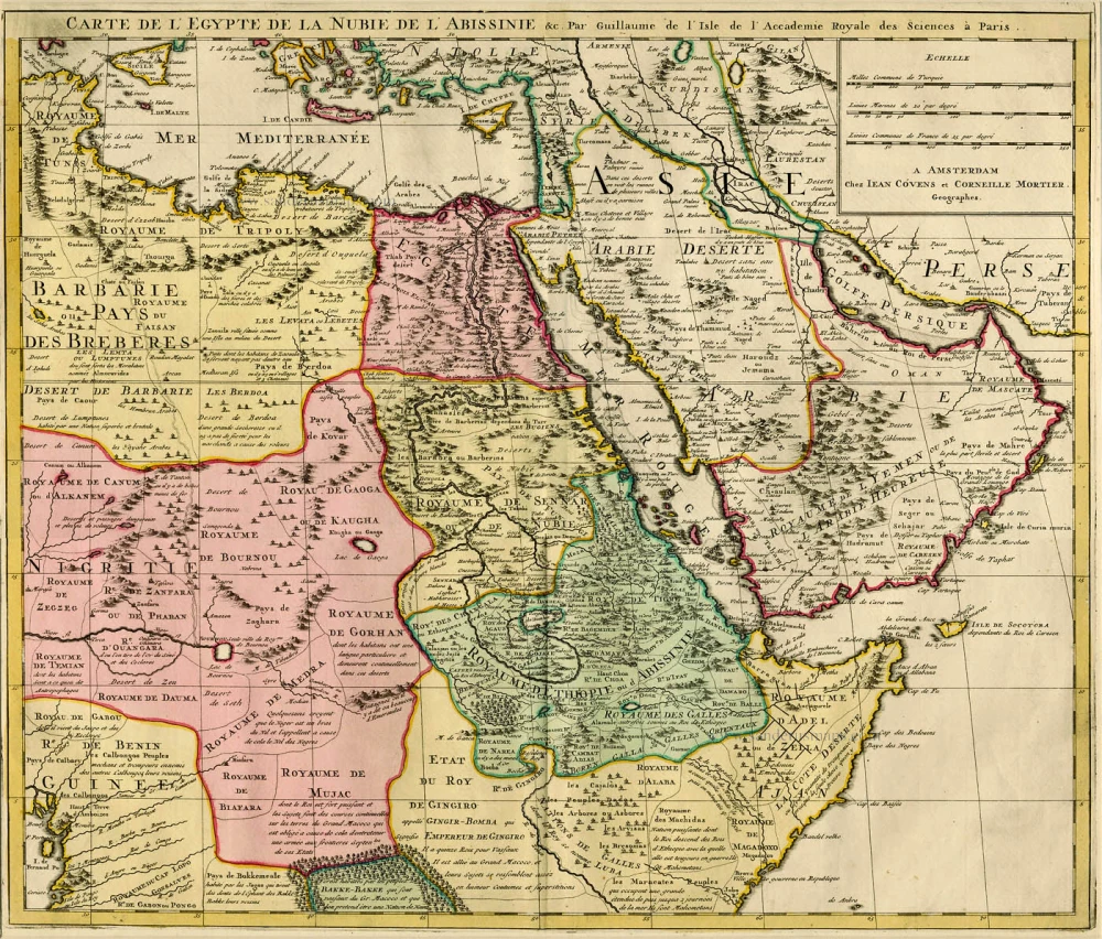
Carte de l'Egypte de la Nubie de l'Abissinie &c. ca. 1730.
Northeast Africa & Arabia by Guillaume Delisle, published by Covens & Mortier
[Item number: 12721]