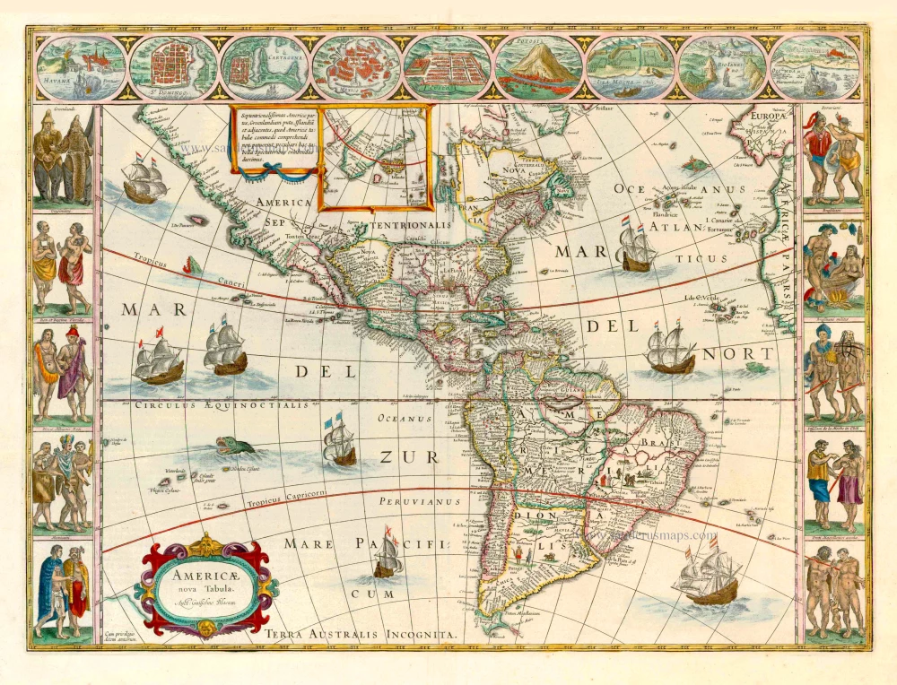
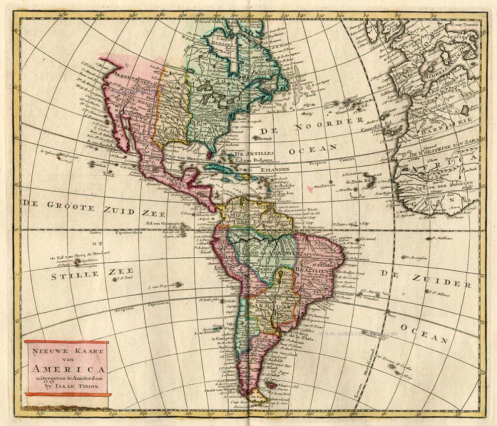
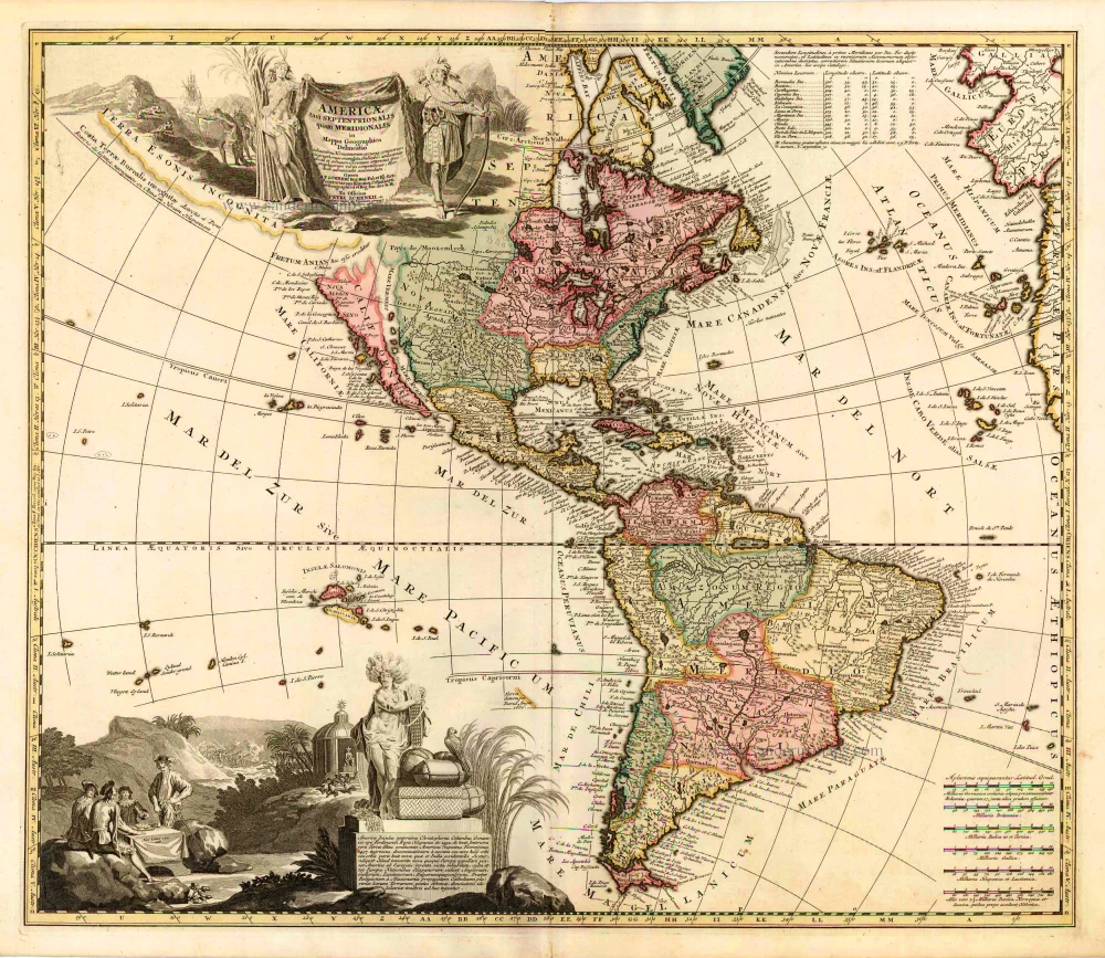
California as an island
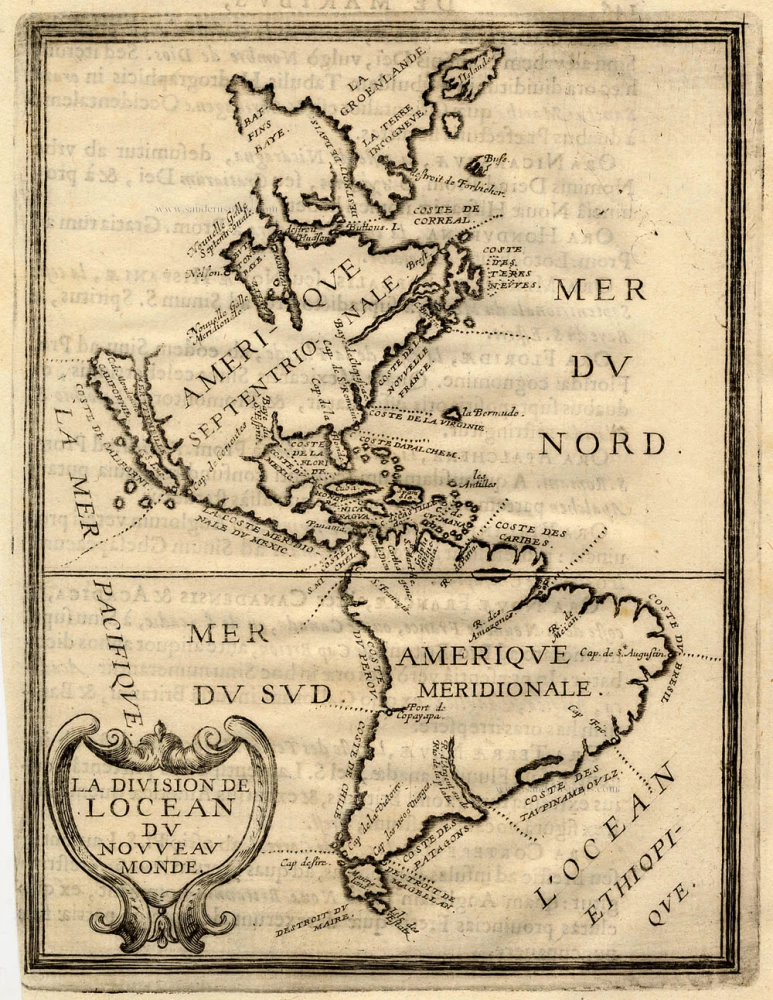
America, by Briet Ph. 1648
Philippe Briet (1601-1668)
Jesuit priest of Abbeville, historian and cartographer. Author of historical maps; worked for Pierre Mariette and Michael van Lochom, Parisian publishers.
He published his Paralella Geographica in 1648, which contained 144 maps of Europe. He had intended to continue with the other continents but only produced a manuscript of the Asia tome, which was never published. Briet published two other atlases in 1653: the Theatre Geographique de l'Europe, with 79 maps, and the Theatrum Geographicum Europa Veteris, with 57 maps of ancient geography.
La Division de l'Ocean du Nouveau Monde
Item Number: 17771 Authenticity Guarantee
Category: Antique maps > America > The Americas
America, by Briet Ph.
Title: La Division de l'Ocean du Nouveau Monde
Date of the first edition: 1648.
Date of this map: 1648.
Copper engraving, printed on paper.
Image size: 185 x 142mm (7.28 x 5.59 inches).
Sheet size: 240 x 155mm (9.45 x 6.1 inches).
Condition: Excellent.
Condition Rating: A+.
From: Parallela Geographiae Veteris et Novae. Paris, 1648.
Philippe Briet (1601-1668)
Jesuit priest of Abbeville, historian and cartographer. Author of historical maps; worked for Pierre Mariette and Michael van Lochom, Parisian publishers.
He published his Paralella Geographica in 1648, which contained 144 maps of Europe. He had intended to continue with the other continents but only produced a manuscript of the Asia tome, which was never published. Briet published two other atlases in 1653: the Theatre Geographique de l'Europe, with 79 maps, and the Theatrum Geographicum Europa Veteris, with 57 maps of ancient geography.

