
Antique map of the Atlantic Ocean by L. Fries 1541
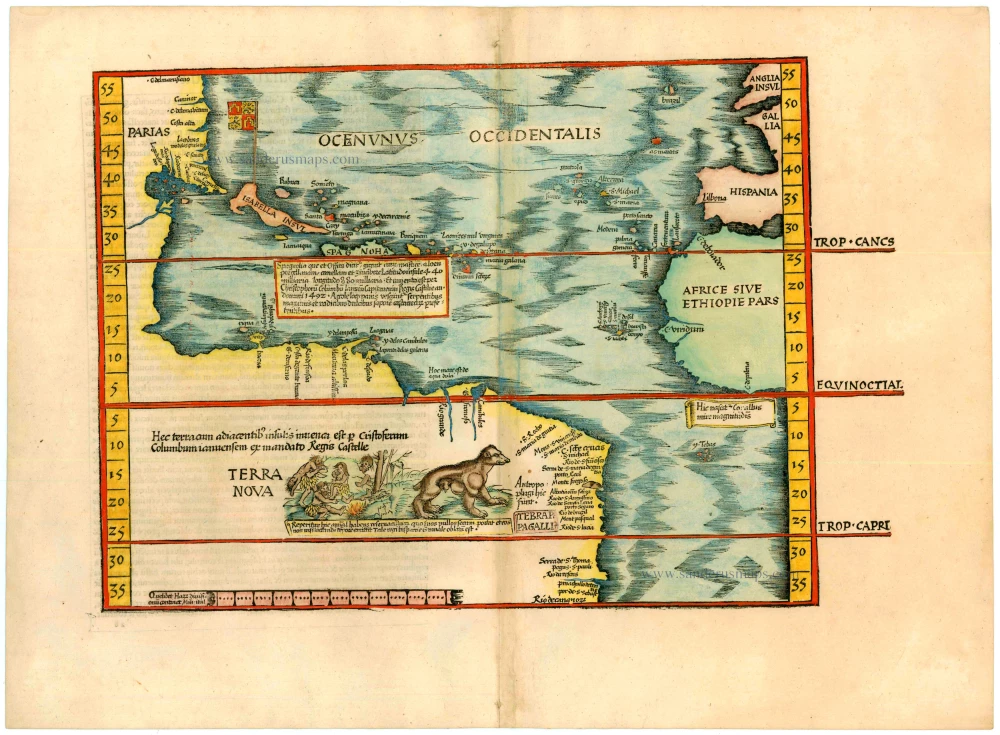
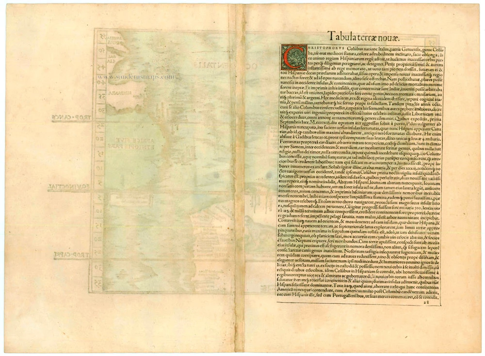


Tabula terrae novae.
Item Number: 2328 Authenticity Guarantee
Category: Antique maps > America > The Americas
"Modern" map of the Western Hemisphere after Waldseemüller.
Title from verso.
Woodcut
Size: 28.5 x 38cm (11.2 x 14.7 inches)
Verso text: Latin
Condition: Nice old colour, excellent.
Condition Rating: A+
References: Karrow, 28/29; Burden, 4.
From: Claudii Ptolemaei Alexandrini geographicae enarrationis libri octo. Lyon, M. Servetus, 1541. (Karrow, 288/G.3)
"In 1522 Laurent Fries published an edition of Ptolemy's Geography in which virtually all of the maps, including this one, were reduced versions of Waldseemüller's, 1513. Some of the more notable differences are the Columbus name PARIAS found in North America, misplaced from South America, the addition of a Spanish flag over Cuba, and a scene in South America depicting cannibals and an opossum both of which had been reported by Vespucci. The last map is taken directly from Martin Waldseemüller's great twelve sheet Carta Marina of the world, 1516. Here also the TERRA INCOGNITA has been replaced by TERRA NOVA , and the reference to America's discovery by Columbus is repeated. A large area of text below Hispaniola contains a description of that island's location, its discovery by Columbus, and its products.
The last twe editions (1535 and 1541) were published by Michael Servetus who was burned alive for heresy. On the orders of Jean Calvin copies of this book were destroyed. The text on the reverse of the map in the last two editions, ends with a protest against the use of the name 'America' for the New World." (Burden)
Related items
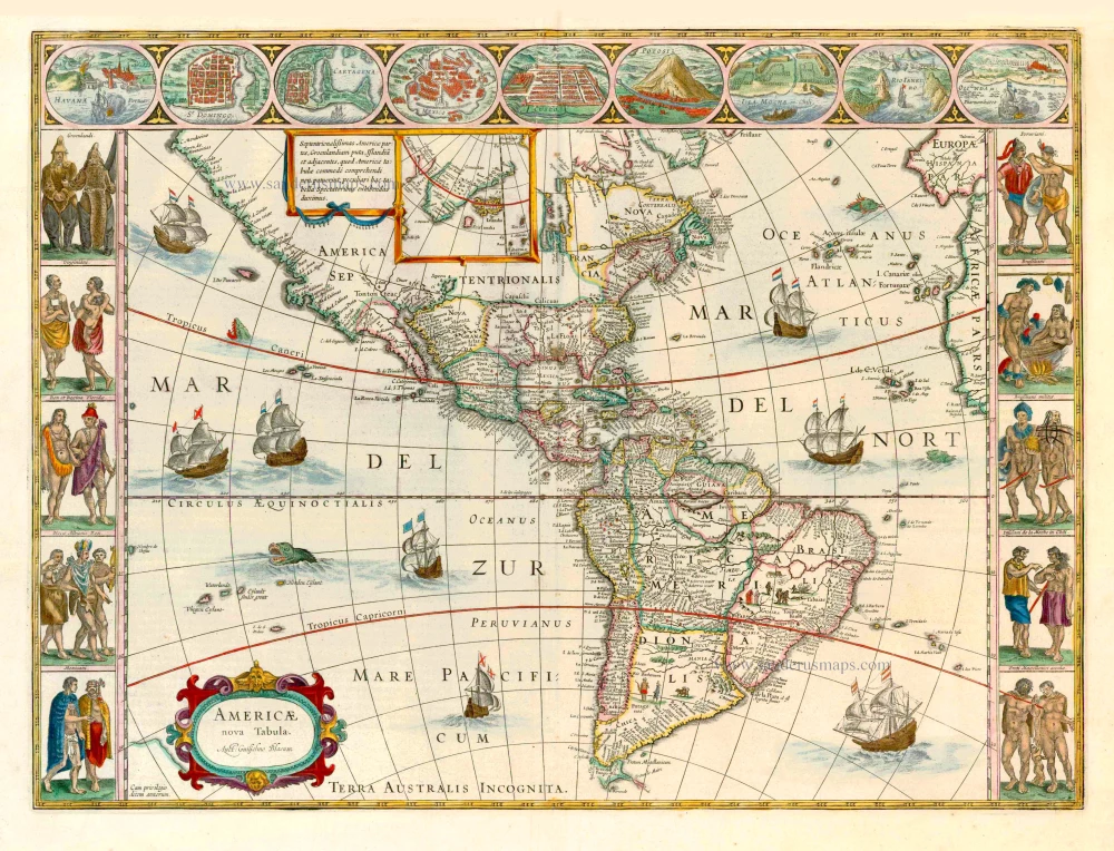
Americae nova Tabula. 1647-49
America, by Willem Blaeu.
[Item number: 6717]
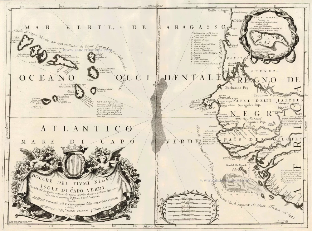
Bocche del Fiume Negro et Isole di Capo Verde 1691
Cape Verde Islands, by Coronelli V.M.
[Item number: 23167]
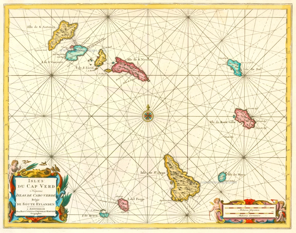
Isles du Cap Verd Hispanis Islas de Cabo Verde Belgis de Soute Eylanden. 1721-41
Cape Verde Islands, by Covens & Mortier.
[Item number: 23621]
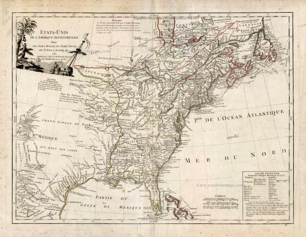
Etats-Unis de l'Amerique Septentrionale avec les Isles Royale, de Terre Neuve de St. Jean, l'Acadie &c. 1786
United States (East) by Boudet A. - de Vaugondy R.
[Item number: 25265]