
America, by André Thevet. 1581
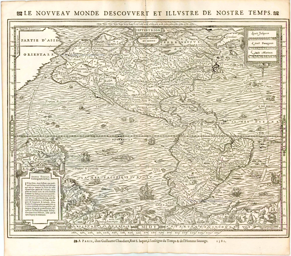
This map relies largely on the Mercator model of 1569, most noticeably with the bulge to the north-west coast of North America. The southern continent, Partie de la Terre Antartique Incongneve, is full of depictions of natives hunting, fishing and socialising.
According to Burden, this third state is very rare, he only located six examples. Compared with the first state, there are no changes to the cartography of the map, only the typography.
André Thevet was a Franciscan monk who travelled extensively in Europe and made a reputed short journey to South America. Upon his return he records that he sailed along the eastern coast of North America. The experiences he recalls of the New World have attracted much criticism from both his contemporaries and recent historians for their inaccuracy. However, one person seemed impressed, the King of France, Henry III, who bestowed him the honour of Royal Cosmographer. (Burden).
Le Nouvreau Monde Descouvert et illustre de Nostre Temps.
Item Number: 11183 Authenticity Guarantee
Category: Antique maps > America > The Americas
Old, antique map of America by A. Thevet.
Date of the first edition: 1575
Date of this map: 1584
Date on map: 1581
Woodcut
Size (not including margins and title): 35 x 45cm (13.8 x 17.6 inches)
Verso: Blank
Condition: Right margin trimmed to 1mm from neatline, excellent.
Condition Rating: A+
References: Burden, 46. State 3.
From: Les vrais Portraits et vies des hommes illustres Grecs, Latins, et Payens Receuillis de leur Tableaux, Livres, Medailles antiques, et Modernes Par Andre Thevet Angoumoisin, ... Paris, Par la vefue I. Kervert Et Guillaume Chaudiere, 1584.
This map relies largely on the Mercator model of 1569, most noticeably with the bulge to the north-west coast of North America. The southern continent, Partie de la Terre Antartique Incongneve, is full of depictions of natives hunting, fishing and socialising.
According to Burden, this third state is very rare, he only located six examples. Compared with the first state, there are no changes to the cartography of the map, only the typography.
André Thevet was a Franciscan monk who travelled extensively in Europe and made a reputed short journey to South America. Upon his return he records that he sailed along the eastern coast of North America. The experiences he recalls of the New World have attracted much criticism from both his contemporaries and recent historians for their inaccuracy. However, one person seemed impressed, the King of France, Henry III, who bestowed him the honour of Royal Cosmographer. (Burden).
Related items
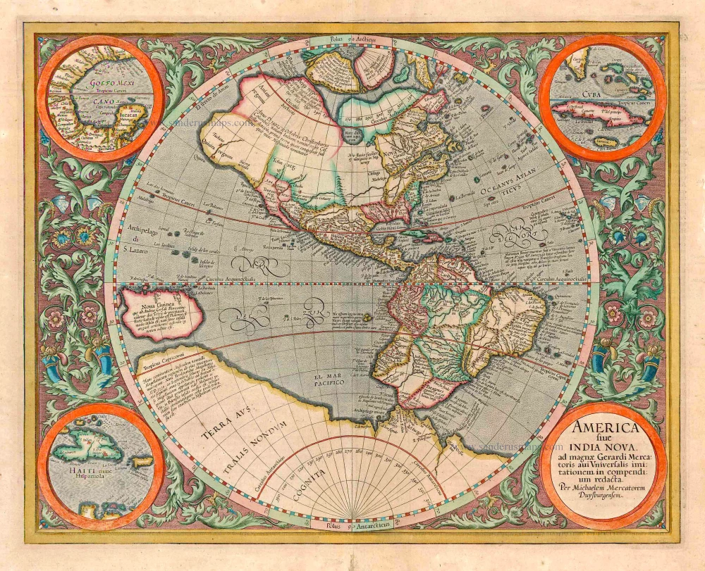
America sive India Nova ad magnae Gerardi Mercatoris avi Universalis imitationem in compendium redacta. 1623
America, by Gerard Mercator
[Item number: 131]
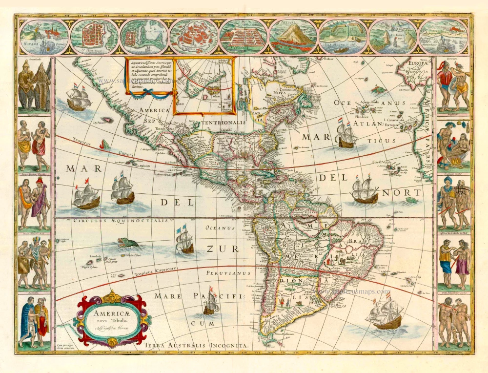
Americae nova Tabula. 1647-49
America, by Willem Blaeu.
[Item number: 6717]
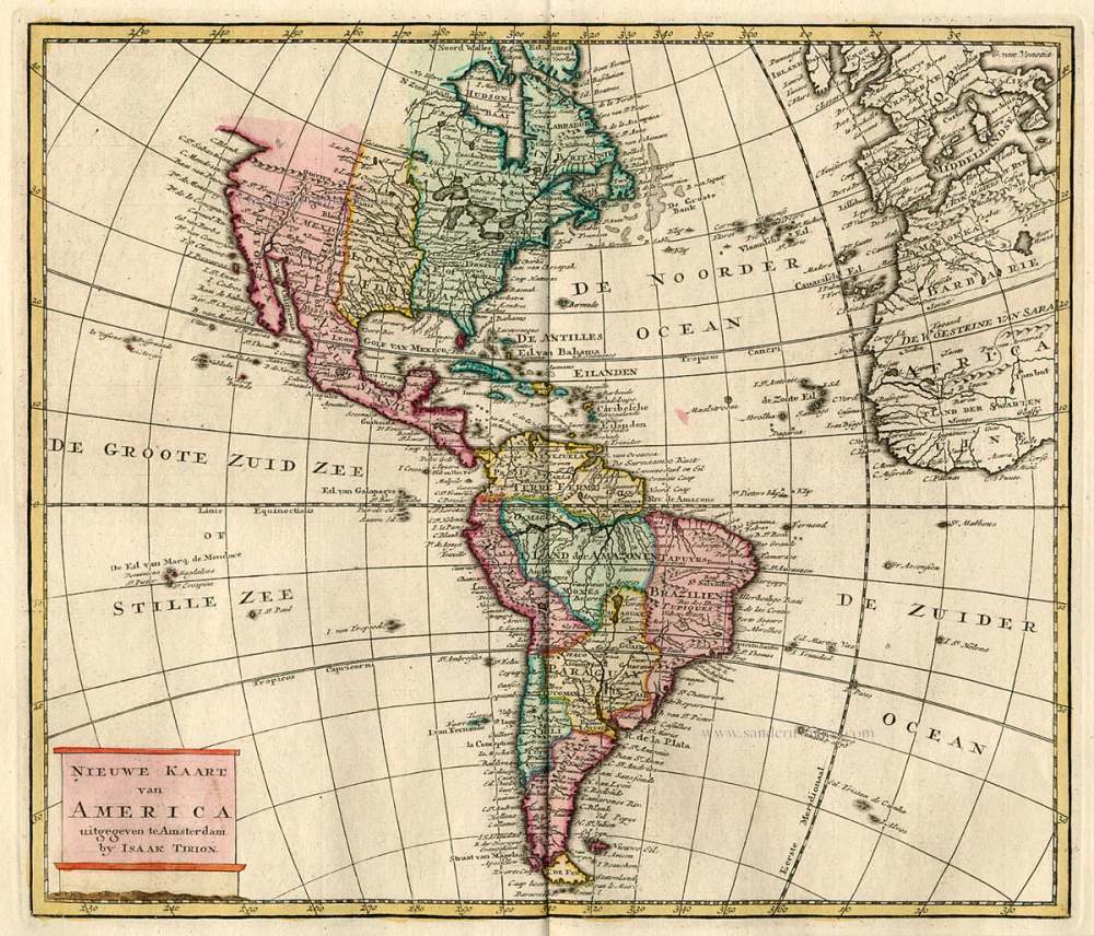
Nieuwe Kaart van America c. 1770
Antique map of America by Tirion I.
[Item number: 19194]

America. 1597
AMERICA by Giovanni Magini
[Item number: 22492]
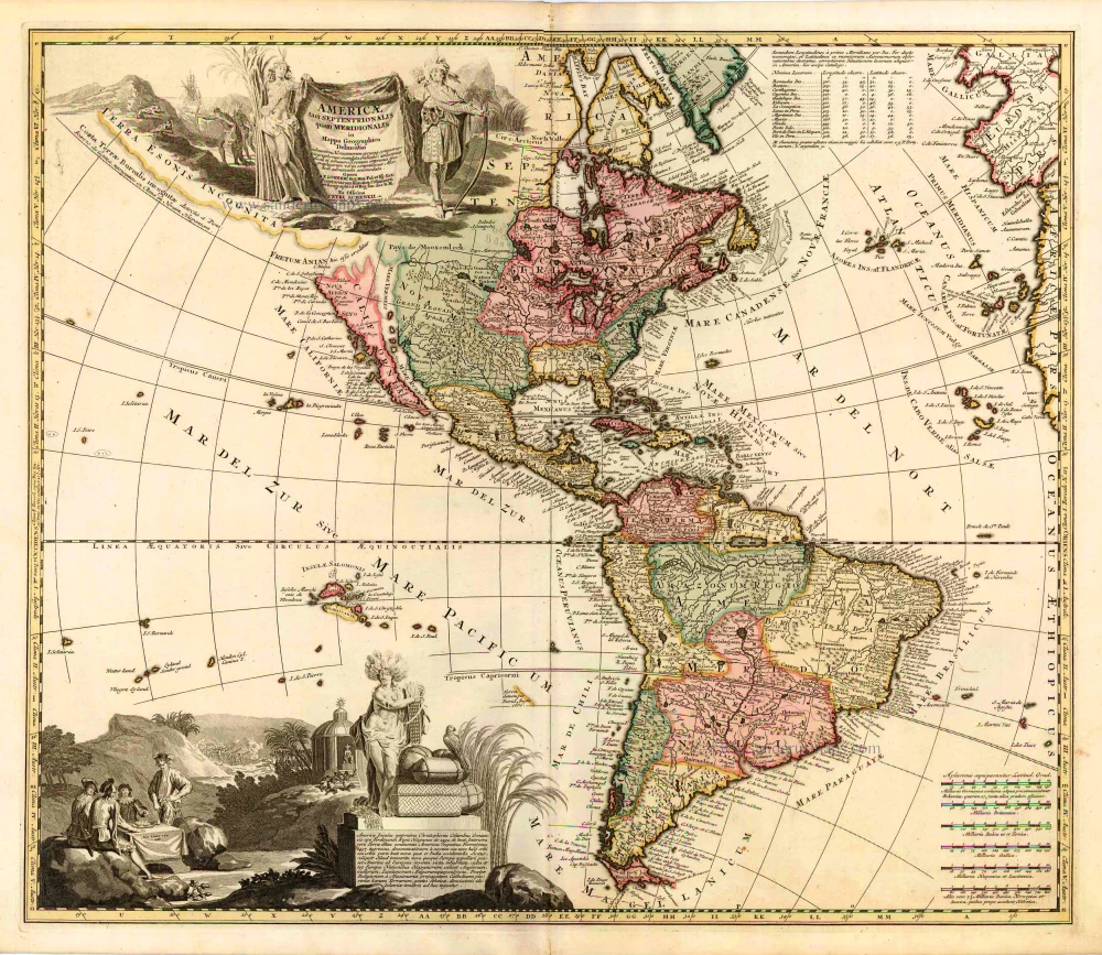
Americae tam Septentrionalis quam Meridionalis in Mappa Geographica Delineatio. c. 1700
America by A.F. Zürner, published by Petrus Schenk.
[Item number: 25715]