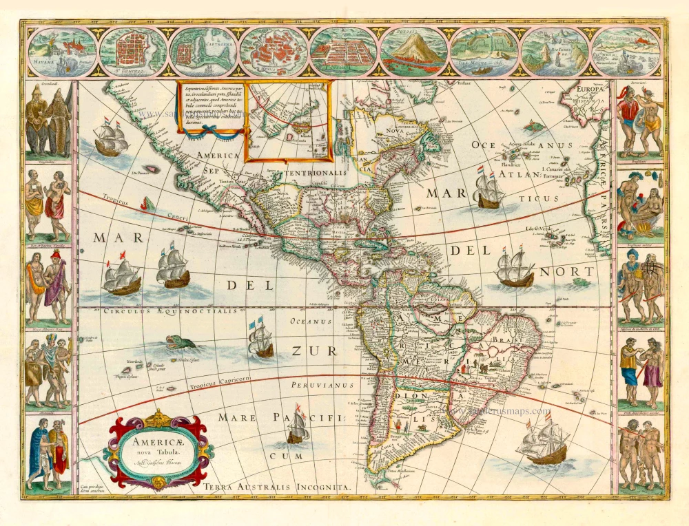
Old, antique map of America by Danckerts Th. ca.1700
The item displayed on this page has been sold. However, we have a similar map in stock:
America by Justus Danckerts - California as an island 1696
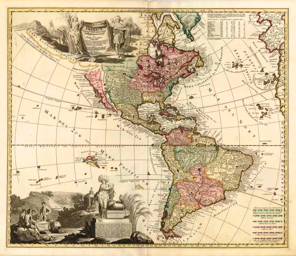
Recentissima Novi Orbis Sive Americae...
[Item number: 32460]


Recentissima Novi Orbis Sive Americae Septentrionalis et Meridionalis Tabula.
Item Number: 11283 Authenticity Guarantee
Category: Antique maps > America > The Americas
Old, antique map of America by Danckerts Th.
Justus Danckerts (1635-1701) here replaces his earlier map of the American continent first issued c.1680.
Like the earlier map by Danckerts this utilises the title cartouche of the Nicolaas Jansz Visscher, c.1658. Though this feature and the cartography of the map are derived entirely from that by Frederick de Wit, c.1675. Here he draws on the fifth state with the added placename in the Great Lakes. The only significant difference is that Danckerts this time removes the decorative cartouche top left. This enables him to include more of the Dutch explored lands of Terra Esonis, Yedso and Iaponiae. Like the De Wit the rare first state does not bear nomenclature in Terra Esonis. This Danckerts soon changed in this second state. The map includes five Great Lakes; de Wit being the first Dutch cartographer to do so. The two western lakes of Michigan and Superior are however left open to the west. The Dutch are still depicted laying claim to New Netherlands. (Burden)
Copper engraving
Size: 50 x 58cm (19.5 x 22.6 inches)
Condition: Old coloured, some stains.
Condition Rating: A
References: Burden, 725.
From: Atlas, c.1696.