
French Antilles and Lesser Antilles islands, by Z. Châtelain. 1719

The Châtelain Family
Zacharias Châtelain (1684-1743) was a bookseller and publisher of Amsterdam. He was succeeded by his sons Zacharias jr and Henry Abraham. The Châtelain family was best known for the historical atlas Atlas Historique, ou nouvelle introduction à l’histoire…, a major work of its time. It was an encyclopaedia in seven volumes, including geography as one of its main subjects. The atlas was published in Amsterdam in seven volumes in various editions with different imprints from 1705 to 1739. An anonym person (Mr. C***) compiled the work with compositions of text, maps, plates and chronological and genealogical tables by Gueudeville, except volume 7, where H.P. Limiers took over this task. The maps were made mainly after the work of Guillaume de l'Isle.
The 1705 edition was published with the imprint “L’Honoré & Châtelain”. Later editions had the imprint: “les Frères Châtelain Libraires” or “L’Honoré & Châtelain Libraires”.
Carte des Antilles françoises et des Isles voisines dressée sur ledes memoires manuscrits.
Item Number: 29359 Authenticity Guarantee
Category: Antique maps > America > West Indies
Old, antique map of the French Antilles and the Lesser Antilles islands, by Z. Châtelain.
Title: Carte des Antilles françoises et des Isles voisines dressée sur ledes memoires manuscrits.
Tom: VI. N°35. Pag:154
Date of the first edition: 1719.
Date of this map: 1719.
Copper engraving, printed on paper.
Map size: 475 x 325mm (18.7 x 12.8 inches).
Sheet size: 520 x 440mm (20.47 x 17.32 inches).
Verso: Blank.
Condition: Excellent.
Condition Rating: A+
From: Châtelain Z. Atlas Historique, ou Nouvelle Introduction A l'Histoire, à la Chronologie & à la Geographie Ancienne & Moderne; ... Tome VI. Qui comprend l'Afrique & l'Amerique Septentrionale & Meridionale, ... A Amsterdam, Chez L'Honoré & Châtelain Libraires, M.DCC.XIX. (1719). (Koeman II, p. 37, Cha7)
The Châtelain Family
Zacharias Châtelain (1684-1743) was a bookseller and publisher of Amsterdam. He was succeeded by his sons Zacharias jr and Henry Abraham. The Châtelain family was best known for the historical atlas Atlas Historique, ou nouvelle introduction à l’histoire…, a major work of its time. It was an encyclopaedia in seven volumes, including geography as one of its main subjects. The atlas was published in Amsterdam in seven volumes in various editions with different imprints from 1705 to 1739. An anonym person (Mr. C***) compiled the work with compositions of text, maps, plates and chronological and genealogical tables by Gueudeville, except volume 7, where H.P. Limiers took over this task. The maps were made mainly after the work of Guillaume de l'Isle.
The 1705 edition was published with the imprint “L’Honoré & Châtelain”. Later editions had the imprint: “les Frères Châtelain Libraires” or “L’Honoré & Châtelain Libraires”.
Related items

Pas Kaart van de Caribes tusschen I. Barbados en I.S. Martin. 1684
The Lesser Antilles, by J. Van Keulen.
[Item number: 2377]
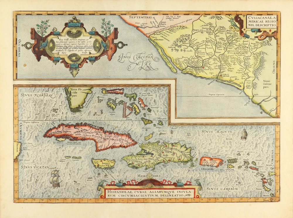
Culiacanae Americae Regionis Descriptio. - Hispaniolae, Cubae, Aliarumquae Insularum Circumiacentium, delineatio. 1584
Antilles by Abraham Ortelius.
[Item number: 30904]

From the first Dutch folio printed sea atlas
Insula S. Iuan de Puerto Rico Caribes, Vel Canibalum Insulae. 1650
Puerto Rico and the Carribean, by Joannes Janssonius.
[Item number: 32625]