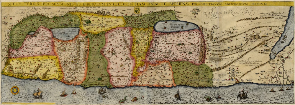
Antique map of Holy Land by Adrichomius 1914
Situs Terrae Promissionis SS Bibliorum Intelligentiam Exacte Aperiens
Item Number: 19566 Authenticity Guarantee
Category: Antique maps > Asia > Middle East
Copper engraving
Size: 35.5 x 111.5cm (13.8 x 43.4 inches)
Verso: Blank
Condition: Old coloured, nice copy.
References: Laor, 7; Nebenzahl, p.94, pl. 35.
From: Adrichom, Christian vanTheatrum Terrae Sanctae Cologne, Officina Birckmannica, 1590.
The key map of the Theatrum Terrae Sanctae, oriented to the east. Shows the whole of Palestine divided into 12 Tribes on both sides of the Jordan, the shore line running from Sidon to Alexandria. The River Cison (Kishon of today) is shown as connecting the Lake of Tiberias with the Mediterranean Sea. There are many nonexistent rivers shown, e.g. a river connecting Jerusalem with the Dead Sea. In the Dead Sea four burning cities are shown: Sodoma, Gomorra, Seboim, and Adama.

