Old, antique map of Holy Land - Jerusalem by Schedel H. 1493
Destruccio Iherosolime
Item Number: 17087 Authenticity Guarantee
Category: Antique maps > Asia > Middle East
Old, antique map - panoramic bird's-eye view of Jerusalem by H. Schedel.
Woodcut
Size: 25.5 x 53.5cm (9.9 x 20.9 inches)
Verso text: Latin
Condition: Old coloured.
Condition Rating: A
Folio LXIII (63) and LXIIII (64) from: Liber Chronicarum. (= Nuremberg Chronicle). Nuremberg, Koberger, 1493.
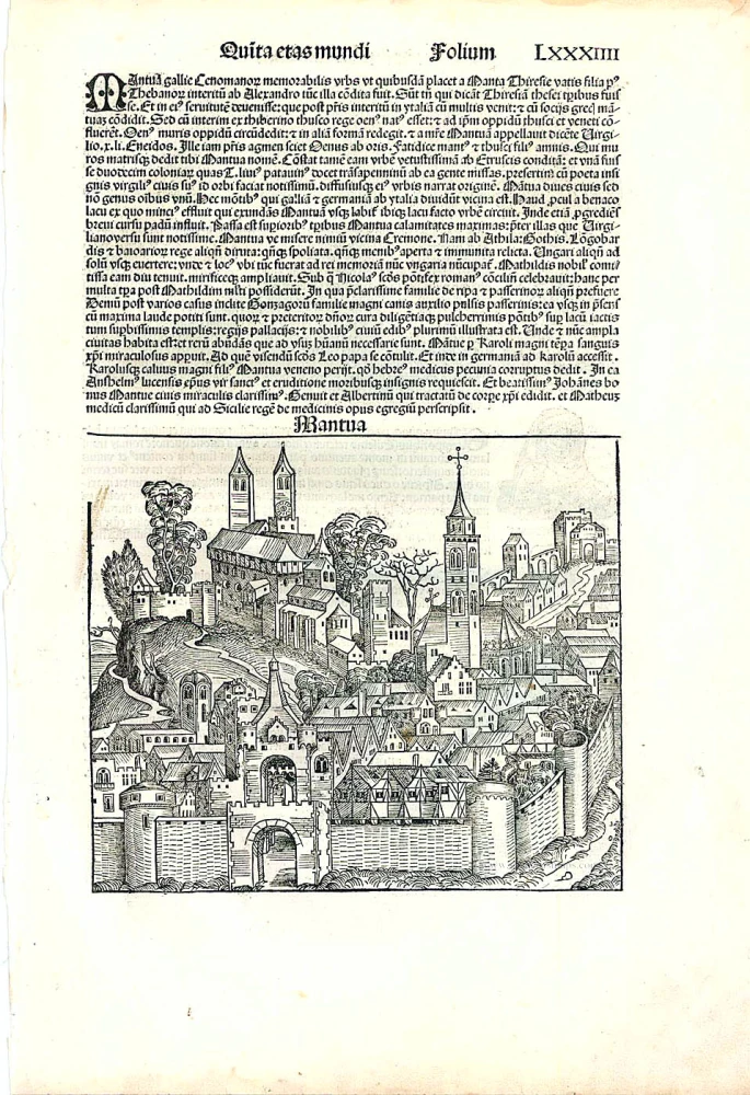
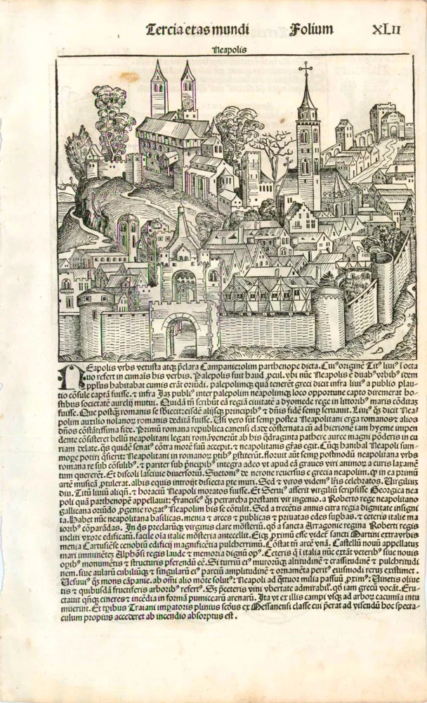
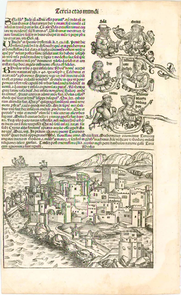
This major work, by the Nuremberg doctor Hartmann Schedel, generally known as the Nuremberg Chronicle was printed by Anton Koberger, the foremost printer of the day. It is a history of the world from the Creation to contemporary times. The work is remarkable for its illustrations, design and its woodcuts and description of cities. The views are some of the earliest representations of towns and cities, with around 116 places being identified by name. The numerous woodcut views, illustrations and maps are made by Michael Wohlgemuth and Wilhem Pleydenwurff and their workshop including Albrecht Dürer.


