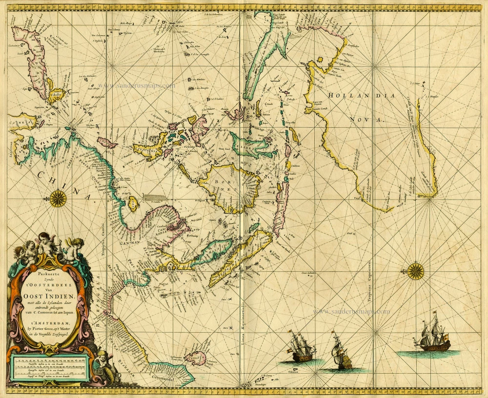
Antique map of Southeast Asia by Goos P. 1667
Paskaerte Zynde t'Oosterdeel van Oost Indien, met Alle de Eylanden daer Ontrendt Geleegen van C. Comorin tot aen Japan ...
Item Number: 19039 Authenticity Guarantee
Category: Antique maps > Asia > Southeast Asia
Old antique sea chart of Southeast Asia and Australia by P. Goos.
Date of the first edition: 1666
Date of this map: 1667
Copper engraving
Size: 44.5 x 54cm (17.4 x 21.1 inches)
Verso: Blank
Condition: Old coloured, some offsetting, on heavy paper.
References: Koeman, Goos3 (26); Parry, Plate 4.32; Clancy, p.83 Map 6.14.
From: De Zee-Atlas, Ofte Water-Weereld, Waer in vertoont werden alle de Zee-Kusten Van het bekende des Aerd-Bodems. P. Goos, 1667. (Koeman, Goos3)
"Pieter Goos' marine atlases were held to be among the finest printed at the time and were often added tot the nine or twelve volumes of Blaeu's Atlas Maior." (Shirley)
"Goos, Doncker, Colom en Van Keulen were specialized in sea chart production. The results were the publication of the most beautiful and functional maps of Southeast Asia and the East Indian Islands that ever were made, and are ever likely to grace a private collection." (Parry)

