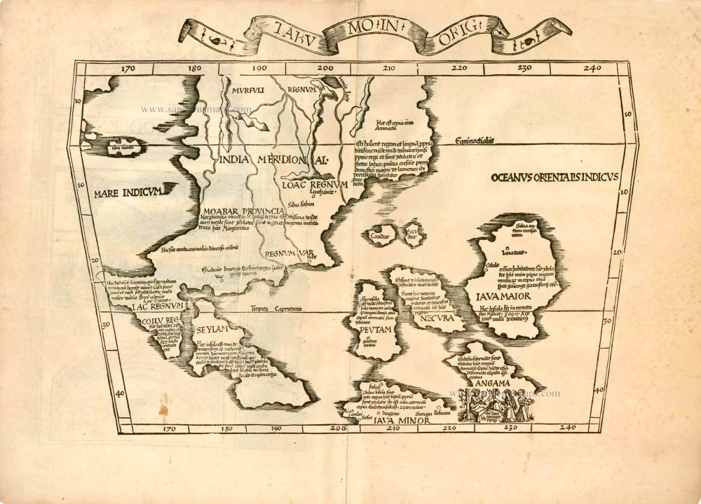
Old antique Ptolemy map of Souheast Asia by M. Waldseemüller and L. Fries. 1522
Very rare first edition. (Only this first edition has a title in a banderole).
This is the second new 'modern map' in the Fries atlas; it is the first printed map to show detail of East Indian Islands but the geography is very confused and there is no mention of the more recent Portuguese discoveries. The Island of Seylam appears where Sumatra could conceivably be and Java Minor is to the east. Java Maior is the largest island and its position and shape resemble Borneo, which Marco Polo refers to as Java Major, the largest island in all the world. Between the two Javas are three other large islands named Peutam, Necura and Angama, the latter with an inset of anthropophagi or canibals preparing a feast.
"An innovative and early map of Southeastern Asia and the East Indian Islands, based primarily on rumour and travellers' tales, ..." (Parry)
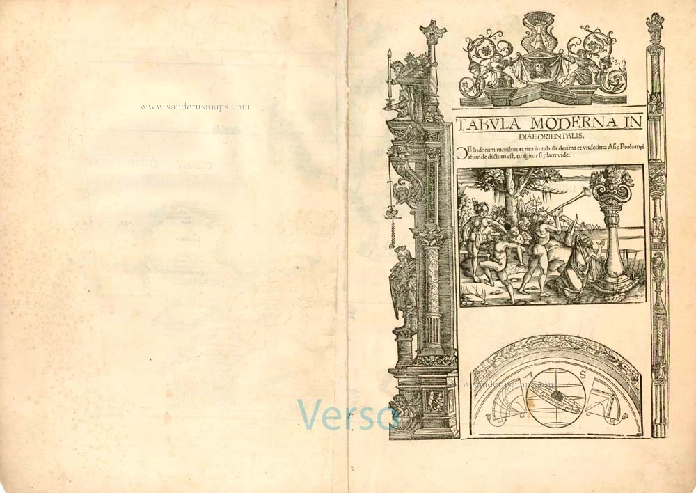
Tabu Mo In Orig [On verso:] Tabula Moderna Indiae Orientalis.
Item Number: 6705 Authenticity Guarantee
Category: Antique maps > Asia > Southeast Asia
Old, antique map of Southeast Asia by M. Waldseemüller and L. Fries.
Date of the first edition: 1522
Date of this map: 1522
Woodcut
Size: 31 x 43cm (12.1 x 16.8 inches) - Sheet size: 38 x 53.5cm (14.8 x 20.9 inches)
Verso text: Latin
Condition: Excellent.
Condition Rating: A+
References: Karrow, 28/45; Suarez (Southeast Asia), p.114-118; Parry, p.65; Durant-Curtis, #5.
From: M. Waldseemüller - L. Fries, Opus Geographiae. Strasbourg, J. Grüninger, 1522. (Shirley (Brit. Lib.), T.PTOL.7a))
Very rare first edition. (Only this first edition has a title in a banderole).
This is the second new 'modern map' in the Fries atlas; it is the first printed map to show detail of East Indian Islands but the geography is very confused and there is no mention of the more recent Portuguese discoveries. The Island of Seylam appears where Sumatra could conceivably be and Java Minor is to the east. Java Maior is the largest island and its position and shape resemble Borneo, which Marco Polo refers to as Java Major, the largest island in all the world. Between the two Javas are three other large islands named Peutam, Necura and Angama, the latter with an inset of anthropophagi or canibals preparing a feast.
"An innovative and early map of Southeastern Asia and the East Indian Islands, based primarily on rumour and travellers' tales, ..." (Parry)


