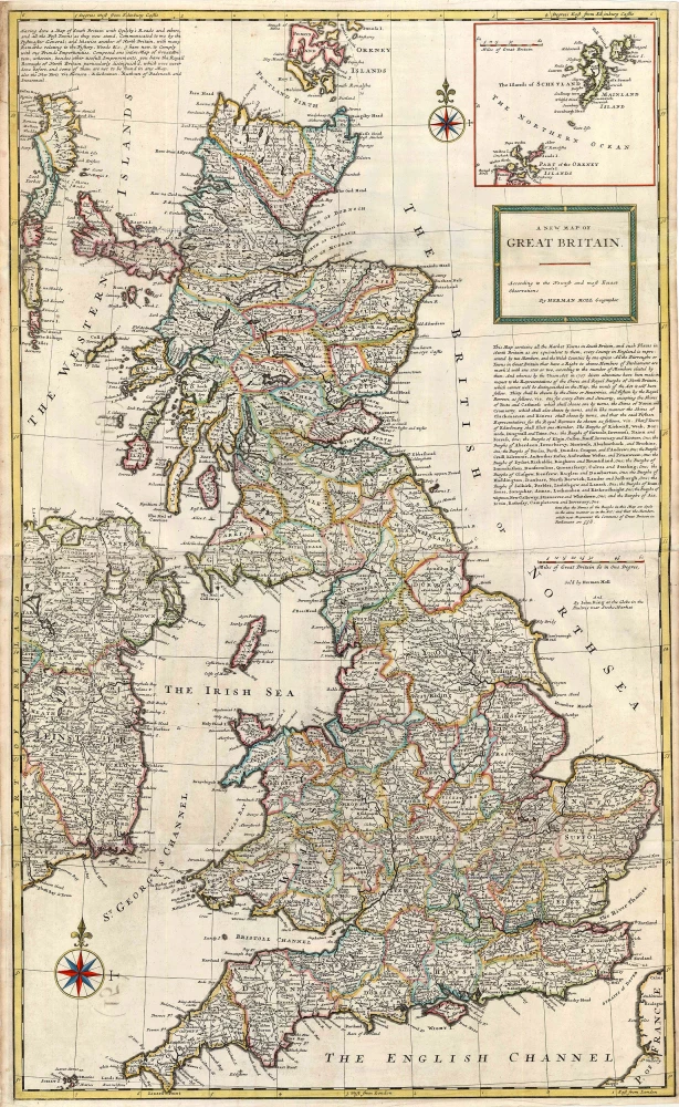
Antique map of Great Britain by Herman Moll c. 1726
back
References: Shirley (BI to 1750) - Moll 7
A New Map of Great Britain According to the Newest and Most Exact Observations
SOLD
Item Number: 13723 Authenticity Guarantee
Category: Antique maps > Europe > British Isles
Map of Great Britain, oriented to the North
Copper engraving, printed from two plates, joined.
Size: 102 x 61cm (39.8 x 23.8 inches)
Verso: Blank
Condition: Old coloured.
Condition Rating: A
References: Shirley (BI to 1750), Moll 7, State 2.
From: Moll Herman, The World Described, or a New and Correct Sett of Maps . . . London, J. & T. Bowles, c. 1726. (Phillips (Atlases), 554)

