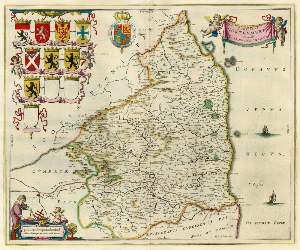
Antique map of Northumberland by J. Blaeu 1648
back
References: Van der Krogt 2 - 5390:2
Comitatus Northumbria; Vernacule Northumberland.
SOLD
Item Number: 7073 Authenticity Guarantee
Category: Antique maps > Europe > British Isles
Copper engraving
Size: 41.5 x 50cm (16.2 x 19.5 inches)
Verso text: Dutch
Condition: Old coloured, excellent.
Condition Rating: A
References: Van der Krogt 2, 5390:2.
From: J. Blaeus Grooten Atlas, oft Werelt- Beschryving, in welcke 't Aerdryck, de Zee, en Hemel, wort vertoont en beschreven. Vierde Stuck der Aerdrycks- Beschryving, welck vervat Engelandt. Amsterdam, J. Blaeu, 1648. (Van der Krogt 2, 321)


