
Antique map of Scotland - Aberdeen & Banff by J. Blaeu 1664
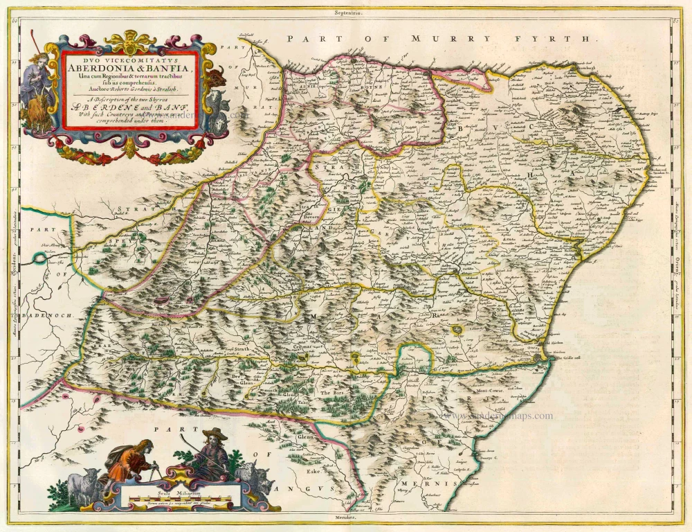
Duo Vicecomitatus Aberdonia & Banfia, Una cum Regionibus & terrarum tractibus sub iis comprehensis. Auctore Roberto Gordonio à Straloch. A Description of the two Shyres Aberdene and Banf, With such Countreys and Provinces as ar comprehended under them.
Item Number: 13040 Authenticity Guarantee
Category: Antique maps > Europe > British Isles
Map of Scotland - Aberdeen & Banff, oriented to the North
Cartographers: Timothy Pont & Robert Gordon
Copper engraving
Size: 42.5 x 55.5cm (16.6 x 21.6 inches)
Verso text: Dutch
Condition: Old coloured.
Condition Rating: A
References: Van der Krogt 2, 5845:2.
From: J. Blaeus Grooten Atlas, oft Werelt- Beschryving, in welcke 't Aerdryck, de Zee, en Hemel, wort vertoont en beschreven. Amsterdam, J. Blaeu, 1664. (Van der Krogt 2, 621)